Leviathan Road East - FS 31052
Total Miles
6.0
Technical Rating
Best Time
Summer, Fall, Spring
Trail Type
Full-Width Road
Accessible By
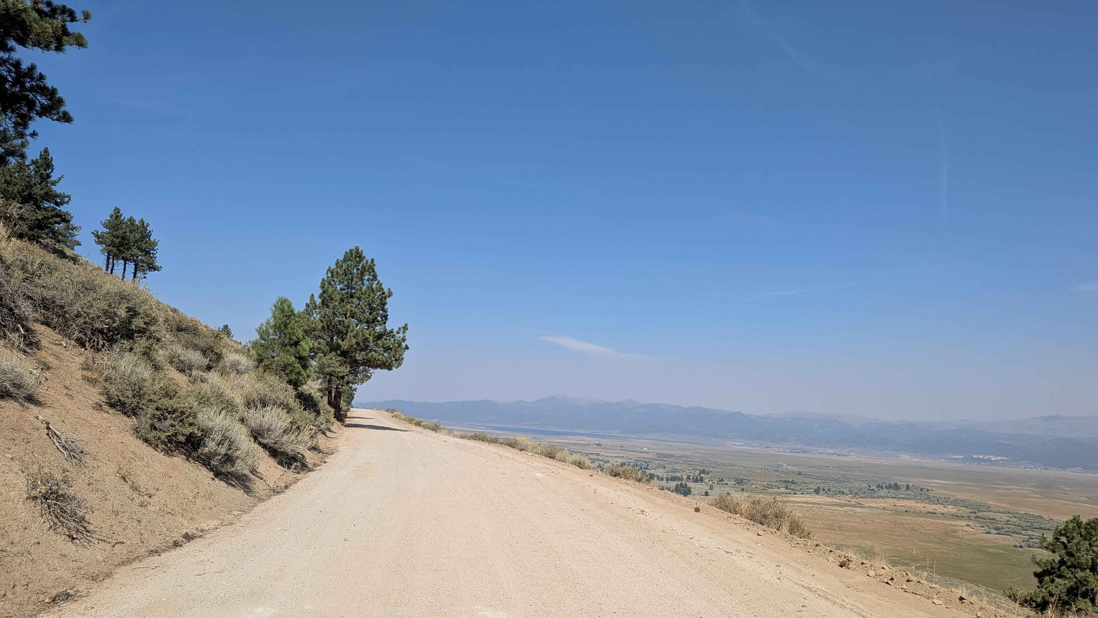
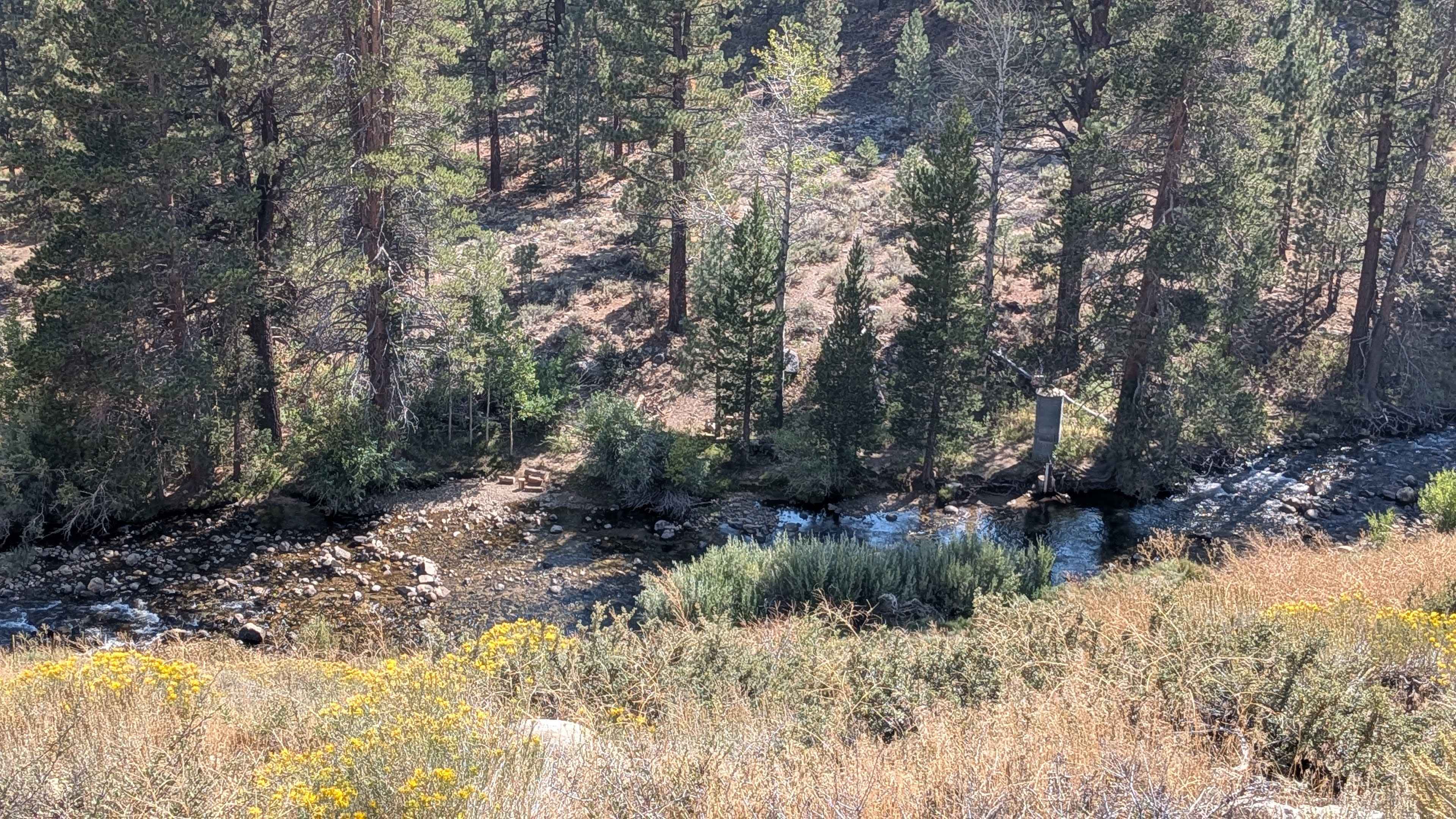
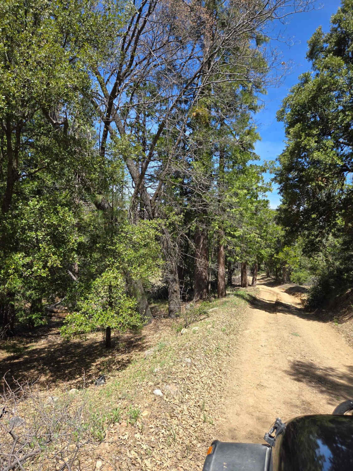
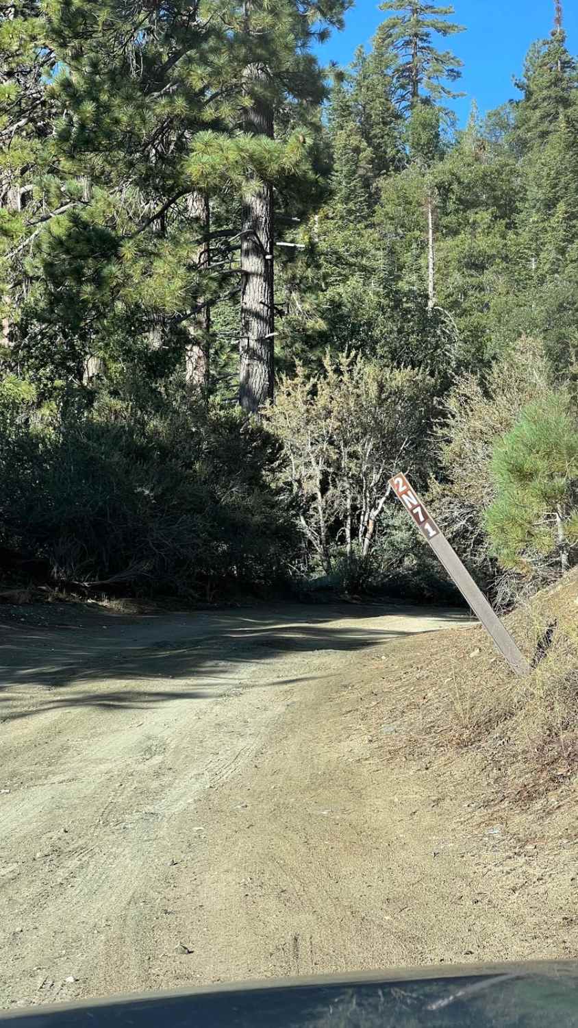
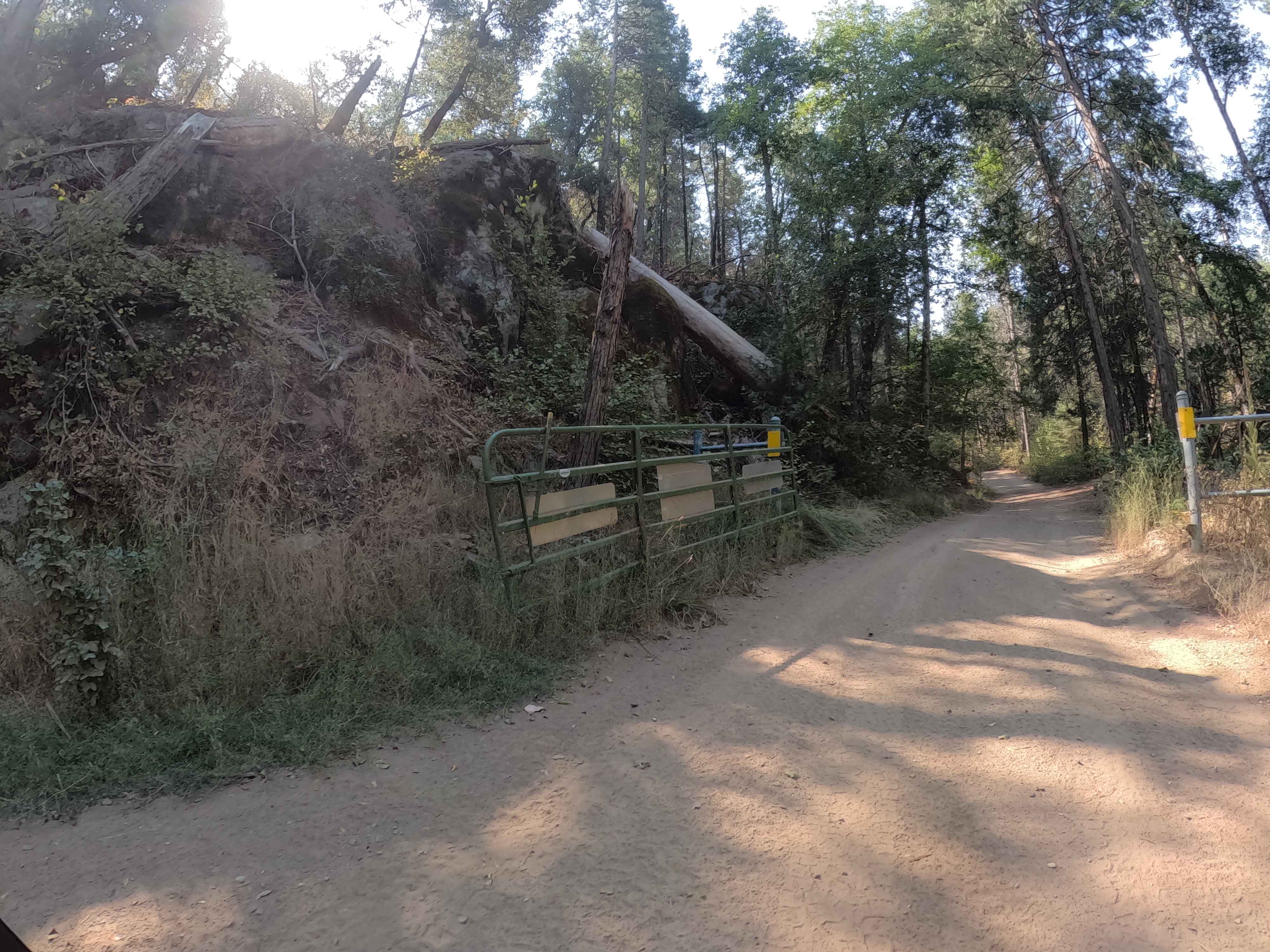
Trail Overview
The trail begins at the end of Leviathan Mine Road, where a seasonal gate controls access. From start to finish, the route drops over 1,500 feet and climbs about 450 feet in just over six miles before connecting to Poison Creek Trail. The road is about one and a half vehicles wide and made up of sand, dirt, gravel, and rocks. Coming from the Highway 89 side, you will encounter ruts from water runoff almost immediately. The route passes through a young pine forest before quickly climbing onto a shelf road. Several switchbacks carry you to the top, where you are rewarded with sweeping views, including a look down at Leviathan Mine. The first mile and a half is the most challenging, as the trail bypasses the mine. At mile 1.5, you pass another mine entrance and the road transitions into a smoother, compacted surface. Use caution, as this section is shared with mine trucks. Part of the original route has been absorbed into the mine property, and the current road overlaps briefly with a private mine road. At mile 2, another shelf road appears, with steep drop-offs and excellent views of the hillsides and valley below. The trail then runs parallel to Leviathan Creek, continuing along narrow shelf sections. By mile 5, you reach a dramatic overlook above a deep canyon. This section has blind curves, steep exposure, and signs of a past wildfire, so proceed with extra caution.
Photos of Leviathan Road East - FS 31052
Difficulty
The trail is well-traveled and mostly manageable, but shelf road exposure, ruts, and rocky sections require driver attention.
History
The Leviathan Mine began in 1863 as a copper sulfate mine before switching to sulfur mining in the 1950s, an open-pit operation by Anaconda Company that eventually led to the creation of acid mine drainage (AMD). The mine closed in 1962, and its ongoing environmental contamination, particularly from AMD, resulted in its designation as a Superfund site by the Environmental Protection Agency in 2000. The State of California purchased the property to address these long-term water quality issues, and continues to manage a pollution abatement project at the site.
Status Reports
Leviathan Road East - FS 31052 can be accessed by the following ride types:
- High-Clearance 4x4
- SUV
Leviathan Road East - FS 31052 Map
Popular Trails
Blue Quartz 2N71
Ponderosa Fire Line - Lower - FS 6S017
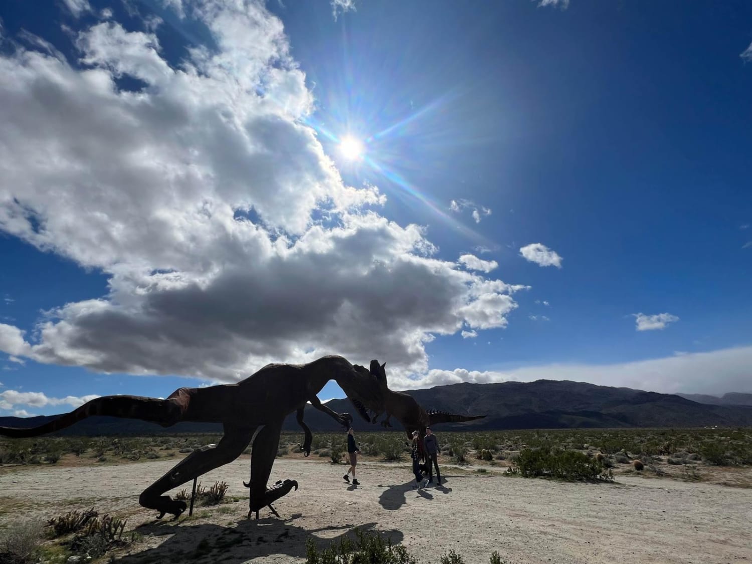
Hidden Dinosaurs
The onX Offroad Difference
onX Offroad combines trail photos, descriptions, difficulty ratings, width restrictions, seasonality, and more in a user-friendly interface. Available on all devices, with offline access and full compatibility with CarPlay and Android Auto. Discover what you’re missing today!