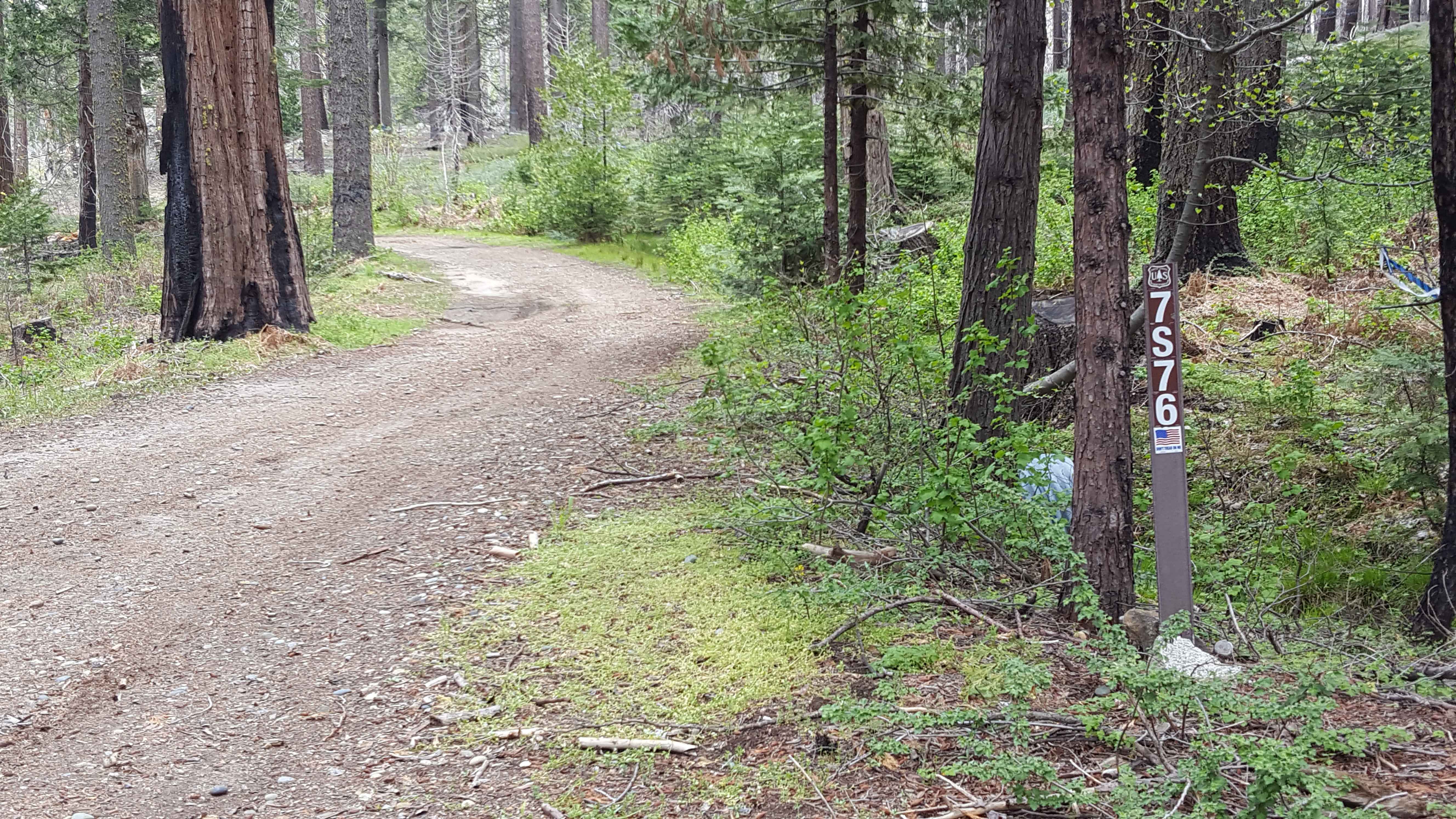
Ellis Meadow - FS 7S076
Total Miles
2.3
Technical Rating
Best Time
Spring, Summer, Fall
Trail Type
Full-Width Road
Accessible By
Trail Overview
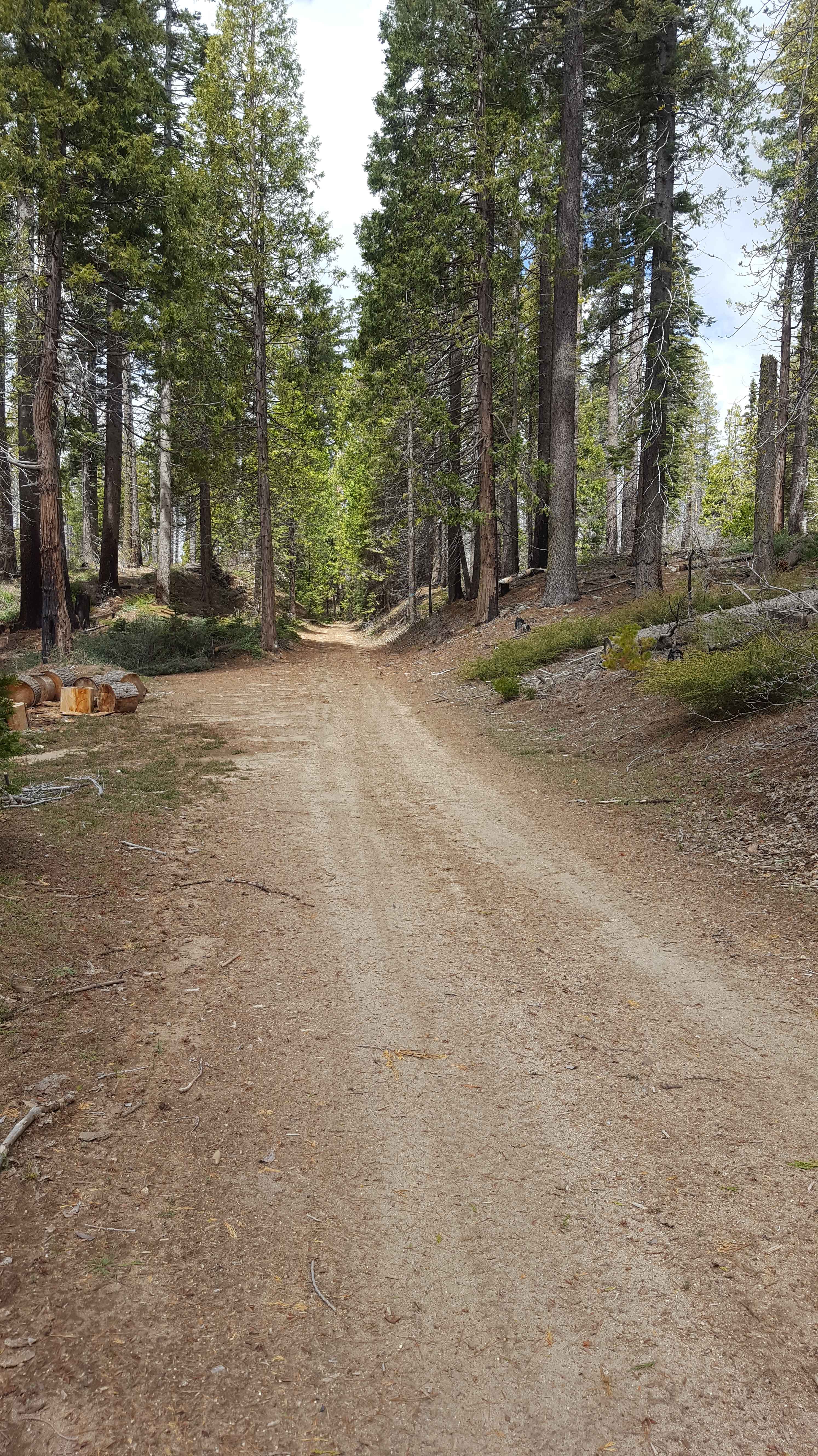
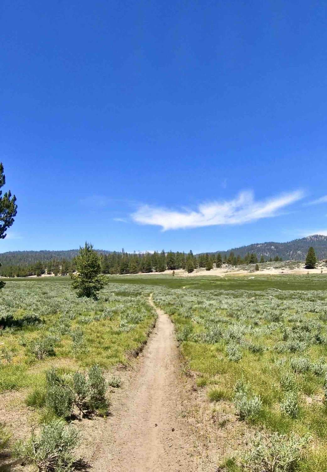
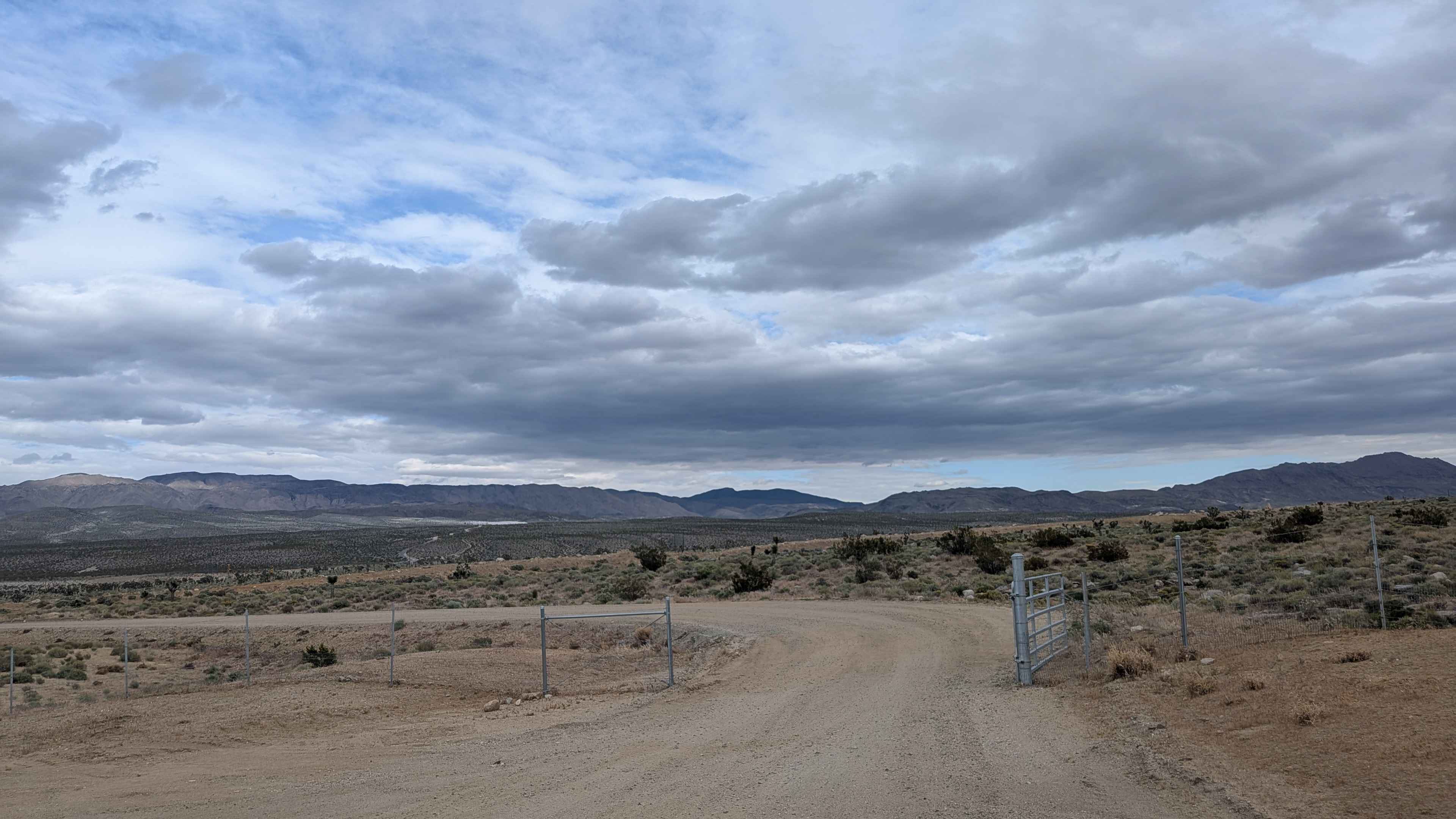
This point-to-point connector trail runs through wooded sections and a large meadow area near Roush Creek. The route is at least as wide as a full-size vehicle and has wider areas to allow vehicles to pass each other easily. The surface is primarily dirt with small embedded rocks. There can be occasional shallow ruts and mud holes during wet weather. Some sections are recovering from forest fire damage, so be aware that charred trees may be unstable or newly fallen tree obstacles might be present on the trail. Dispersed camping is allowed 150 ft from either side of the trail and 100 ft from any natural water source. Trail is closed by USFS annually from December to mid-April. Tread Lightly and Pack-It-Out.
Photos of Ellis Meadow - FS 7S076
Difficulty
Trail surface is primarily dirt with occasional small embedded rocks. There can be ruts and mud holes in places, but they are generally shallow and can be avoided. Trail is at least single-vehicle width with occasional wider areas to allow vehicles to pass easily. Vehicles with moderate clearance should be able to manage the full route with 2WD.
Status Reports
Ellis Meadow - FS 7S076 can be accessed by the following ride types:
- High-Clearance 4x4
- SUV
- SxS (60")
- ATV (50")
- Dirt Bike
Ellis Meadow - FS 7S076 Map
Popular Trails

North Haiwee Road
The onX Offroad Difference
onX Offroad combines trail photos, descriptions, difficulty ratings, width restrictions, seasonality, and more in a user-friendly interface. Available on all devices, with offline access and full compatibility with CarPlay and Android Auto. Discover what you’re missing today!