Dirt Bike Trails
Near Woody Creek, Colorado
Explore All Dirt Bike Trails Near Woody Creek, Colorado
Dirt Bike Trails Near Woody Creek, Colorado
Discover the best dirt bike trails near you. Browse trail maps, check difficulty ratings, and find your next adventure — whether you're looking for a quick ride or an all-day expedition.
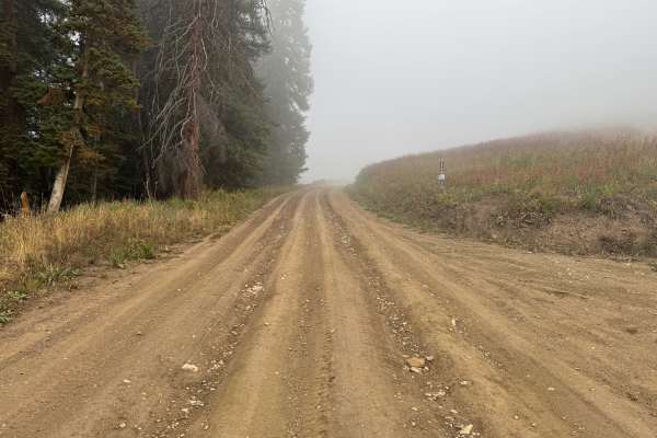
Kobey Park - Link Road
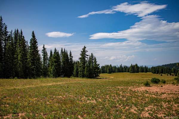
This route travels through a high-elevation landscape of dense evergreen forest and open mountain meadows. The surroundings alternate between heavily wooded sections and more exposed mountainsides, creating a noticeable change in scenery throughout the drive. Spruce and fir dominate the forest, whil...
Learn more about Kobey Park - Link Road
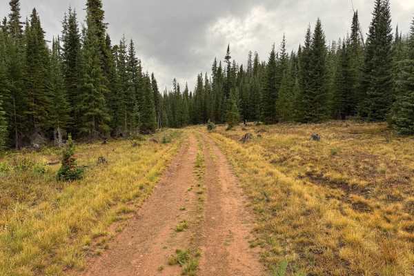
Little Woody Road
This loop branches off Kobe Park Link Road and travels through a high-elevation landscape of dense evergreen forest broken by open grassy meadows. The route winds through stands of spruce, fir, and pine, with low shrubs, grasses, and scattered fallen timber covering the forest floor. In several area...
Learn more about Little Woody Road
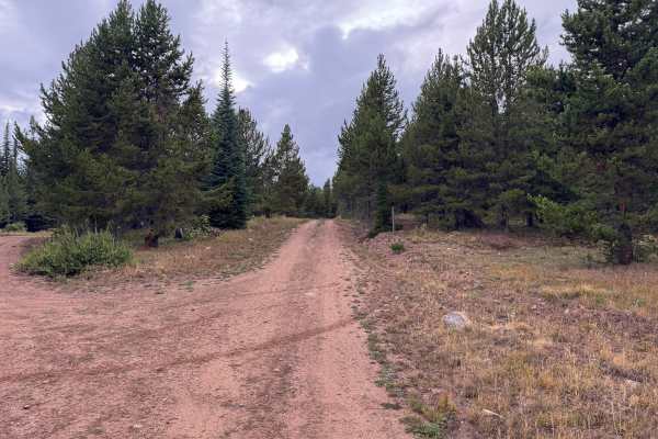
Red Canyon Road
This out-and-back route travels through a high-elevation evergreen forest with a mix of dense timber and occasional small openings along the way. The surrounding vegetation consists primarily of spruce, fir, and pine, with grasses, low shrubs, and other groundcover filling the more open areas betwee...
Learn more about Red Canyon Road
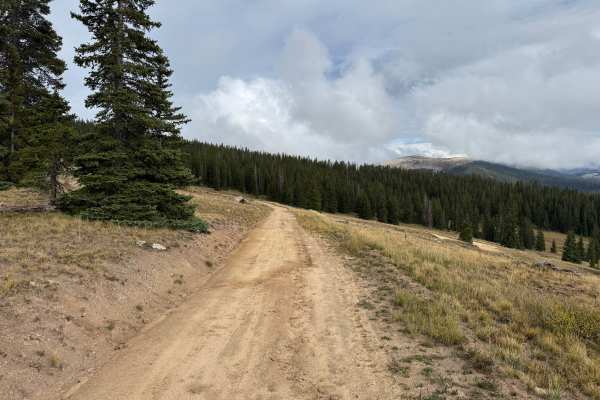
Yeckel Road
This route is generally one vehicle wide, with occasional areas where travelers can pull over to allow another vehicle to pass. It travels through a mix of dense evergreen forest and open high-elevation meadows. Thick stands of spruce and fir line much of the route before the landscape periodically ...
Learn more about Yeckel Road
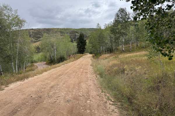
Lenado Road
This route travels through the mountains north of Aspen near Lenado and within the White River National Forest. The surrounding landscape transitions between open hillsides, large aspen groves, and dense stands of spruce, fir, and pine. The road surface is primarily packed dirt and gravel, with occa...
Learn more about Lenado Road
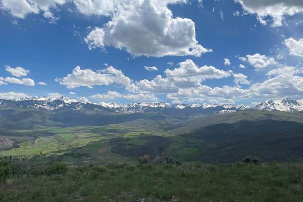
Light Hill Road
BLM Road #8334 is not challenging in itself, but presents great views. There are many spurs with plenty of space for camping. Each spur leads to a great view of the surrounding mountains, valleys, and towns. Wild flowers are in full bloom during the spring. The road that travels west along the ridge...
Learn more about Light Hill Road
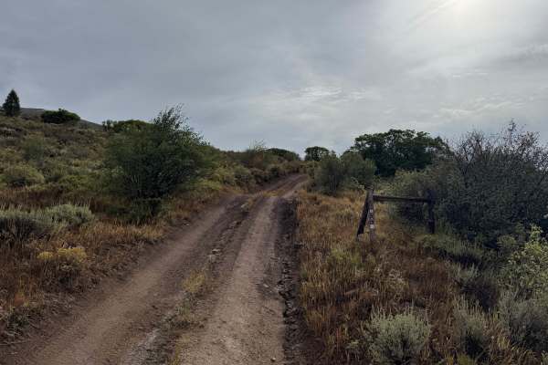
Freeman Powerline Road
Freeman Powerline Road is a narrow dirt two-track located north of Ruedi Reservoir within the White River National Forest. The Forest Service identifies the route as Freeman Powerline (FS 536.1A), connecting with the road network near Freeman Mesa and Two by Four Creek. The route climbs through open...
Learn more about Freeman Powerline Road
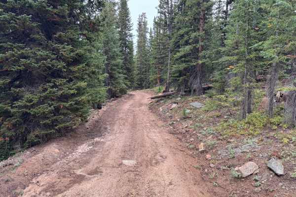
Porphyry Mountain Spur Road
This route travels through dense high-elevation forest before opening into broad mountain meadows with impressive views of the surrounding landscape. The trail is mostly one vehicle wide, although occasional wider areas provide room for vehicles to pass. Much of the surface consists of native dirt w...
Learn more about Porphyry Mountain Spur Road
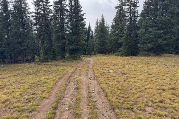
Mount Yeckel
Mount Yeckel travels through a high-elevation landscape of dense evergreen forest and open mountain meadows as it works its way toward Mount Yeckel. The route passes through thick stands of spruce and fir before periodically opening into broad grassy areas that provide views of the surrounding mount...
Learn more about Mount Yeckel
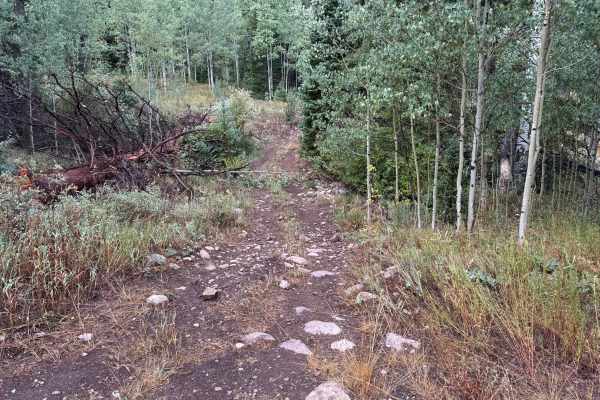
Meredith Trail
This route connects into the Little Deadman Road network within the White River National Forest. Little Deadman Road is an established road name in Pitkin County, and the broader Ruedi Reservoir area has a long transportation history, including routes associated with the former Colorado Midland Rail...
Learn more about Meredith Trail
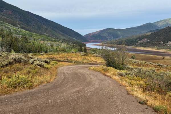
Miller Road
This through route connects with Meredith Trail and descends through the mountainous terrain surrounding Ruedi Reservoir. The road surface is predominantly maintained dirt and gravel, with scattered small embedded rocks but no major obstacles. Much of the route is approximately one vehicle wide, and...
Learn more about Miller Road
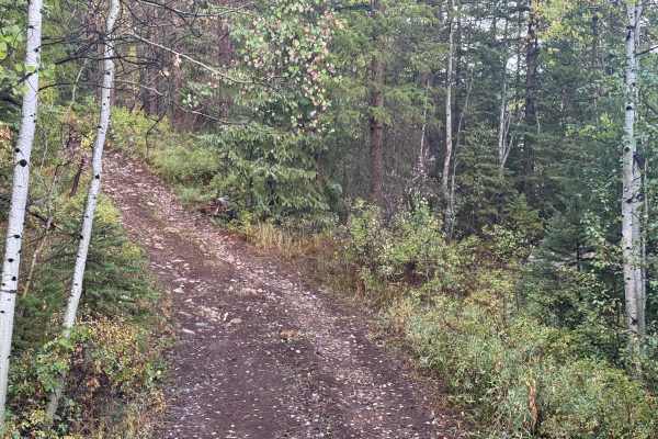
Little Deadman Road
Little Deadman Road is a narrow, rugged mountain route that climbs through dense forest near Thomasville and the Fryingpan Valley. The route lies within the Little Deadman Creek area southwest of Thomasville, not far from the historic lime kilns along the Fryingpan Valley. The trail surface varies c...
Learn more about Little Deadman Road
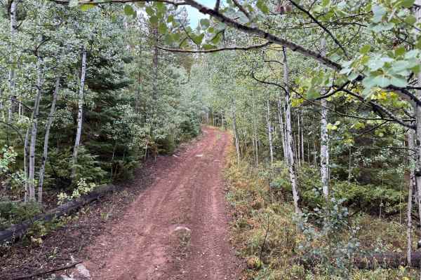
Upper Deadman Road
This route travels through the forested mountains near Little Deadman Creek and connects directly with Little Deadman Road. The surrounding area has a long history of access routes associated with the Fryingpan River drainage, and Little Deadman Creek appears by name on historic mapping of the area....
Learn more about Upper Deadman Road
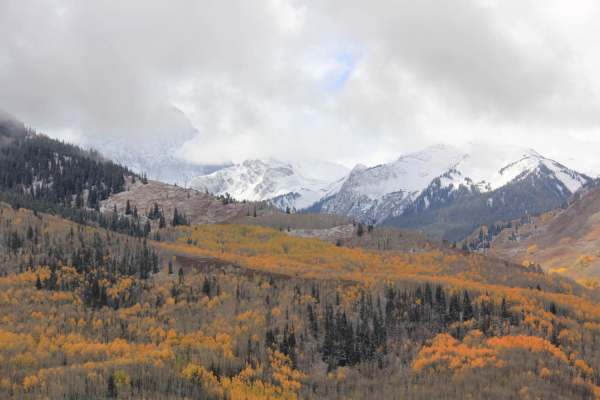
Capitol Creek Road
Capitol Creek Road is an ideal moderate route for offroaders seeking stunning high-country views and access to premier hiking in the Maroon Bells-Snowmass Wilderness. Spanning approximately 3.1 miles near Aspen, Colorado, this scenic trail climbs through vibrant aspen groves that deliver spectacular...
Learn more about Capitol Creek Road
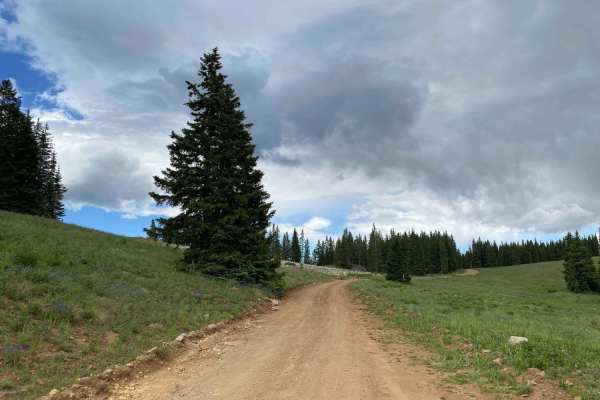
Little Annie Road (CR 15G)
Little Annie Road (CR 15G) is an ideal route for beginner offroaders, high-clearance vehicles, and SxSs seeking spectacular alpine views and a scenic climb to the top of Aspen Mountain. Climbing from Castle Creek Canyon up to the Sundeck at the ski area's summit, this 5.7-mile trail rises from 8,967...
Learn more about Little Annie Road (CR 15G)
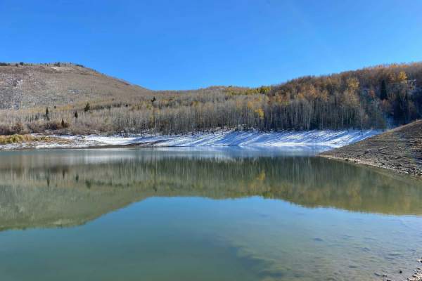
Dinkle Lake Road
Dinkle Lake Road is an easy dirt road that provides spectacular views of Mt. Sopris and access to Dinkle Lakes, Thomas Lakes Trailhead, and the Mt. Sopris Trailhead. This trail is mostly tame, with a couple of small rocks to get up and over. There are picnic areas located at Dinkle Lake for day use....
Learn more about Dinkle Lake Road
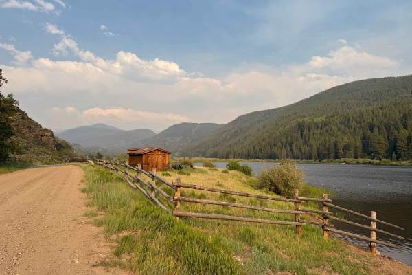
North Fork Road - FS 4B
This route begins off Fryingpan Road and gradually follows the creek of the same name into a beautiful high-mountain valley. The first section is a well-maintained, gravel-like road that is easily passable by most vehicles and leads to Elk Wallow Campground. Beyond the campground, the road begins cl...
Learn more about North Fork Road - FS 4B
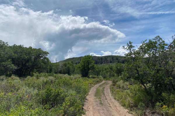
Over the Crown: BLM Road #8324
BLM Road #8324 provides a lengthy adventure around the crown and can act as an extension loop to BLM Road 8230. From this trail, you will see great views of Mt. Sopris, the Elk Range, Carbondale, and Basalt. This road is lightly used, and is overgrown at some points - so watch out for pin striping. ...
Learn more about Over the Crown: BLM Road #8324
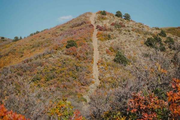
BLM Route 8322
BLM Route 8322 is a dirt bike trail in the Crown Trail System, and is slightly more difficult than the other 5 motorized trails in this trail system. From northeast to southwest, the trail is made up of several steep and loose descents all the way down to the bottom of the trail. It starts with a pr...
Learn more about BLM Route 8322
Red Table North 464
This road is pretty simple with a few spots to pull over and get a good view of the red rocks.As far as difficulty it's pretty easy, a little bumpy but nothing a stock 4wd rig couldn't do.During rainy season the road will become more difficult as it can turn into mud, there is also a chance for down...
Learn more about Red Table North 464
ATV trails near Woody Creek, Colorado
Explore ATV-friendly trails near you. These trails are accessible for vehicles up to 50 inches wide, perfect for ATVs and smaller off-road machines.
Kobey Park - Link Road
This route travels through a high-elevation landscape of dense evergreen forest and open mountain meadows. The surroundings alternate between heavily wooded sections and more exposed mountainsides, creating a noticeable change in scenery throughout the drive. Spruce and fir dominate the forest, whil...
Learn more about Kobey Park - Link Road
Little Woody Road
This loop branches off Kobe Park Link Road and travels through a high-elevation landscape of dense evergreen forest broken by open grassy meadows. The route winds through stands of spruce, fir, and pine, with low shrubs, grasses, and scattered fallen timber covering the forest floor. In several area...
Learn more about Little Woody Road
Red Canyon Road
This out-and-back route travels through a high-elevation evergreen forest with a mix of dense timber and occasional small openings along the way. The surrounding vegetation consists primarily of spruce, fir, and pine, with grasses, low shrubs, and other groundcover filling the more open areas betwee...
Learn more about Red Canyon Road
Yeckel Road
This route is generally one vehicle wide, with occasional areas where travelers can pull over to allow another vehicle to pass. It travels through a mix of dense evergreen forest and open high-elevation meadows. Thick stands of spruce and fir line much of the route before the landscape periodically ...
Learn more about Yeckel Road
UTV/side-by-side trails near Woody Creek, Colorado
Find UTV and side-by-side trails near you. These trails accommodate vehicles up to 60 inches wide, ideal for UTVs, side-by-sides, and wider off-road rigs.
Kobey Park - Link Road
This route travels through a high-elevation landscape of dense evergreen forest and open mountain meadows. The surroundings alternate between heavily wooded sections and more exposed mountainsides, creating a noticeable change in scenery throughout the drive. Spruce and fir dominate the forest, whil...
Learn more about Kobey Park - Link Road
Little Woody Road
This loop branches off Kobe Park Link Road and travels through a high-elevation landscape of dense evergreen forest broken by open grassy meadows. The route winds through stands of spruce, fir, and pine, with low shrubs, grasses, and scattered fallen timber covering the forest floor. In several area...
Learn more about Little Woody Road
Red Canyon Road
This out-and-back route travels through a high-elevation evergreen forest with a mix of dense timber and occasional small openings along the way. The surrounding vegetation consists primarily of spruce, fir, and pine, with grasses, low shrubs, and other groundcover filling the more open areas betwee...
Learn more about Red Canyon Road
Yeckel Road
This route is generally one vehicle wide, with occasional areas where travelers can pull over to allow another vehicle to pass. It travels through a mix of dense evergreen forest and open high-elevation meadows. Thick stands of spruce and fir line much of the route before the landscape periodically ...
Learn more about Yeckel Road
The onX Offroad Difference
onX Offroad combines trail photos, descriptions, difficulty ratings, width restrictions, seasonality, and more in a user-friendly interface. Available on all devices, with offline access and full compatibility with CarPlay and Android Auto. Discover what you're missing today!
Open Trail Map