Trail Overview
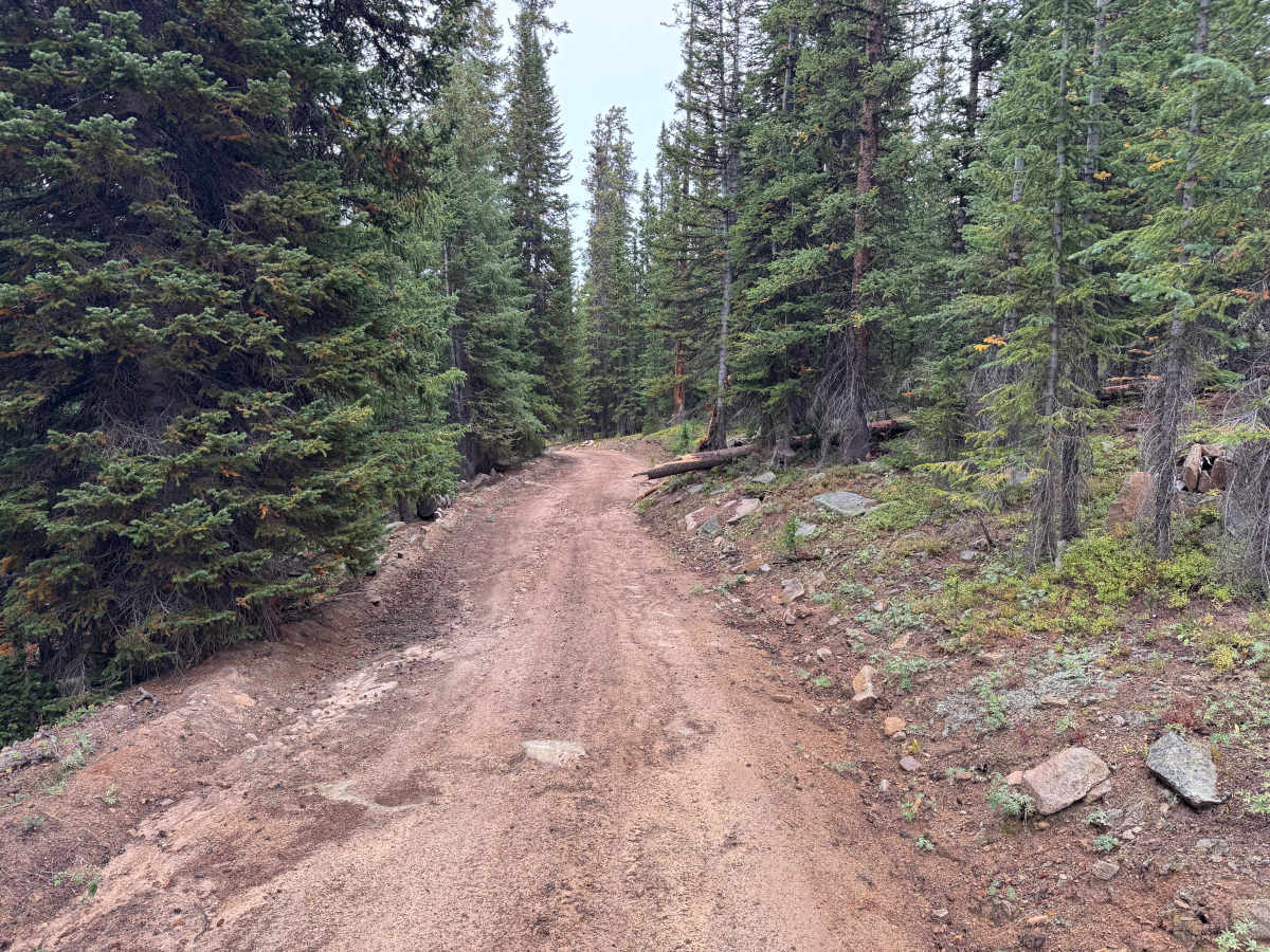
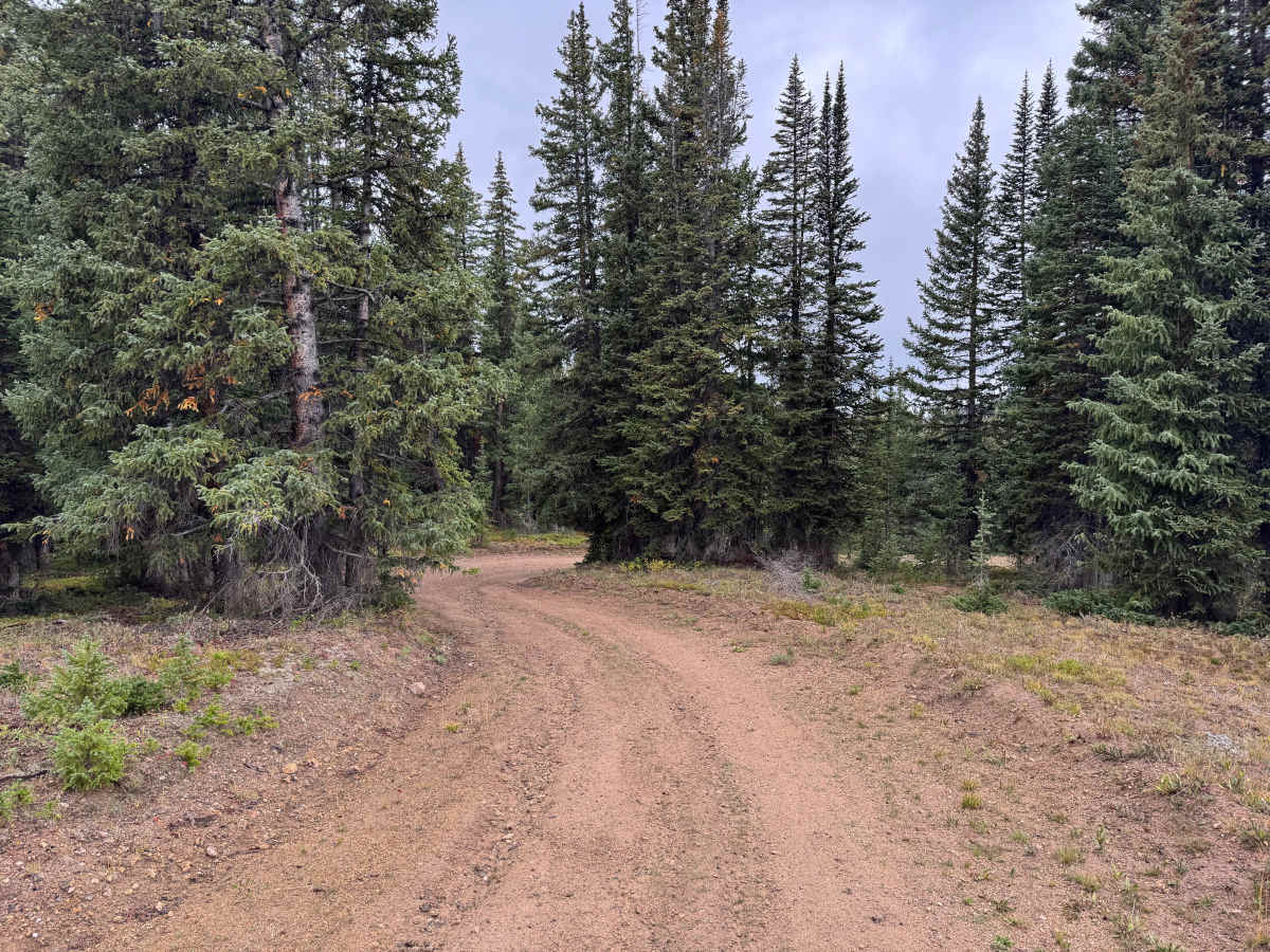
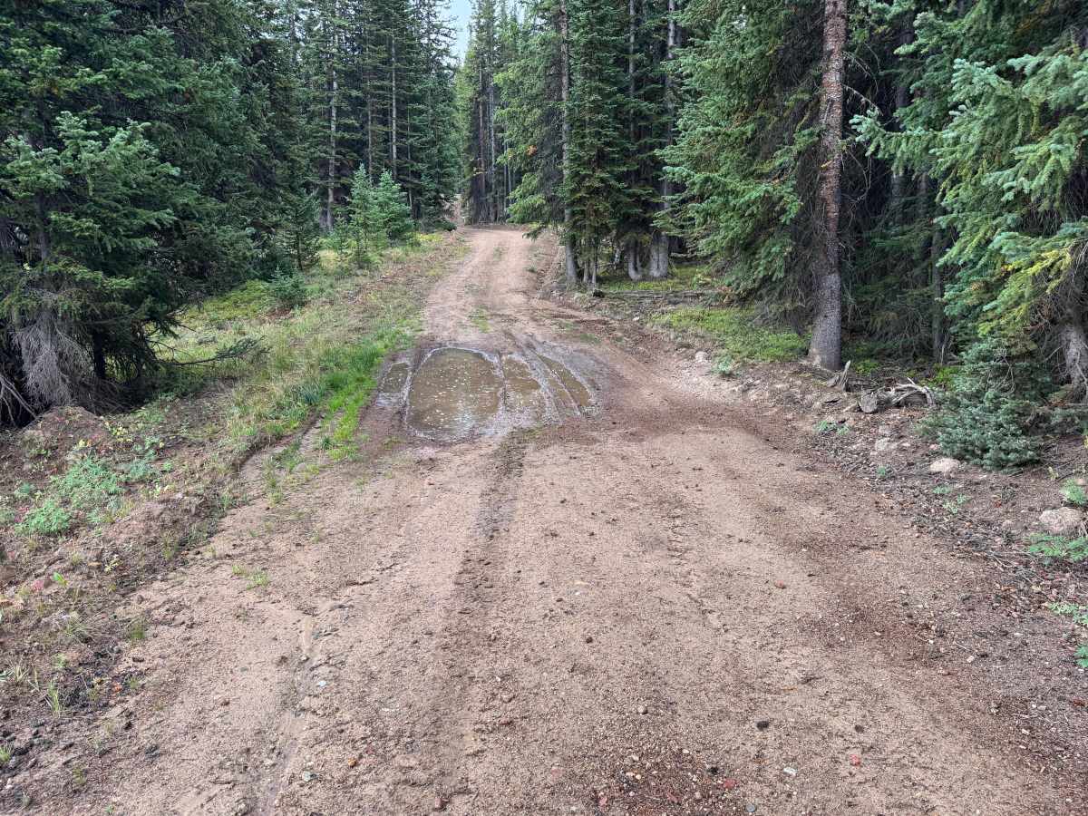
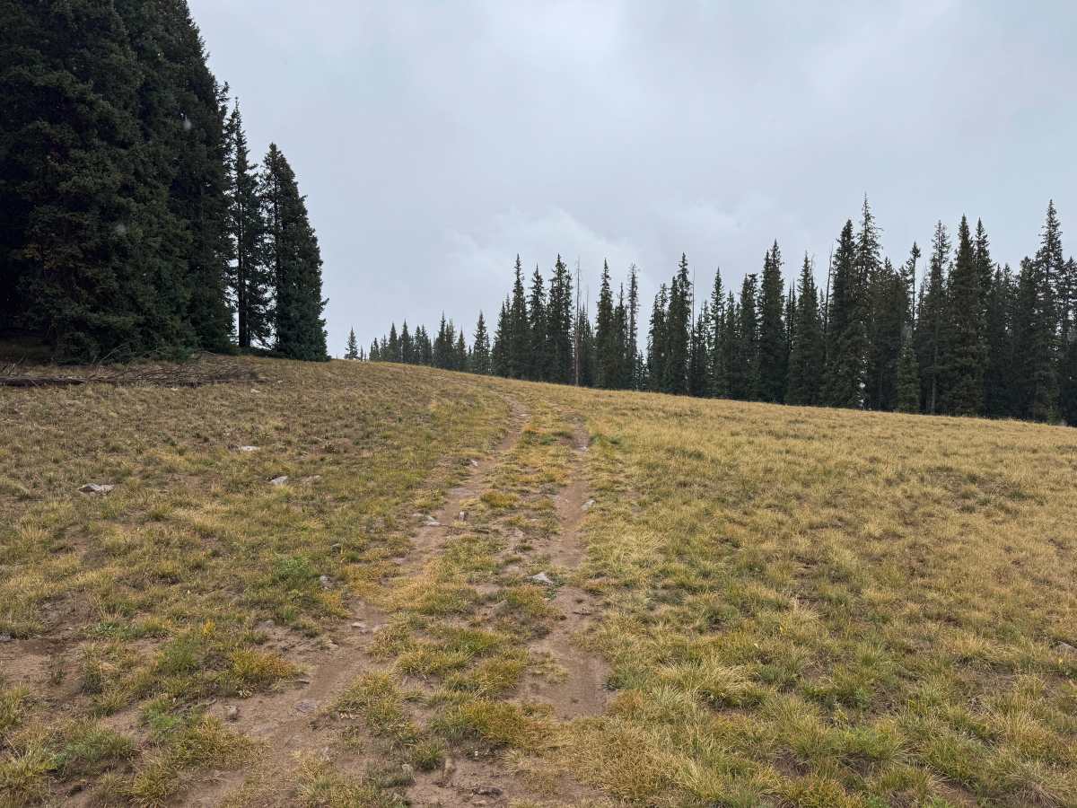
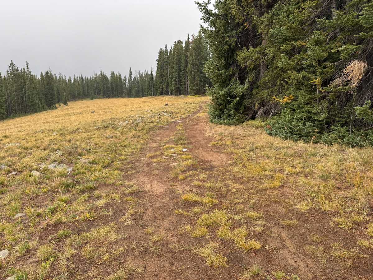
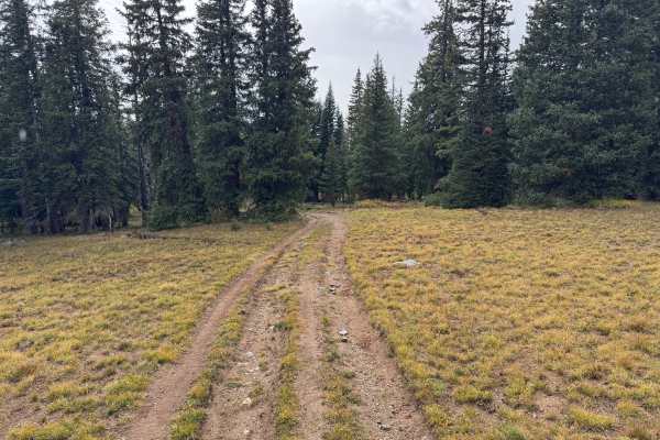
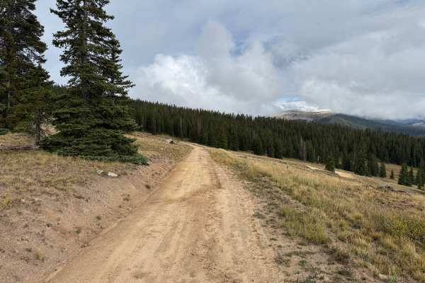
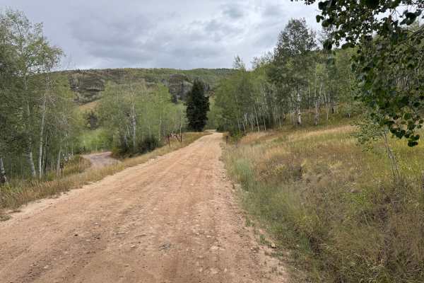
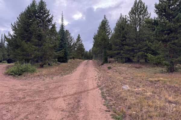
This route travels through dense high-elevation forest before opening into broad mountain meadows with impressive views of the surrounding landscape. The trail is mostly one vehicle wide, although occasional wider areas provide room for vehicles to pass. Much of the surface consists of native dirt with scattered gravel and exposed rock, while wetter areas can develop mud and standing water after rain or snowmelt. Thick stands of spruce, fir, and other conifers surround much of the route before giving way to open grassy meadows bordered by timber. These openings provide some of the best views along the route and create a noticeable change from the enclosed forest sections. The route is seasonally open to motorized vehicles from June 21 through November 22 each year to help reduce disturbance to wildlife outside the designated motorized season.
Difficulty
Mostly dirt with some mud possible when wet, scattered rocks up to 10 inches, and occasional uneven sections. High clearance is recommended, but there are no major obstacles along the route.
History
The mountains northeast of Aspen have a long history of mining, ranching, logging, and backcountry travel. Lenado developed as a small mining settlement during the late 1800s and was historically known as Woody Creek. Mining activity occurred throughout the surrounding mountains, while timber from the area was also used to support Aspen’s growing mining industry. Many of the roads and routes crossing these mountains originated as access routes for mines, timber operations, ranches, and remote settlements before becoming today’s forest-road network.