Trail Overview
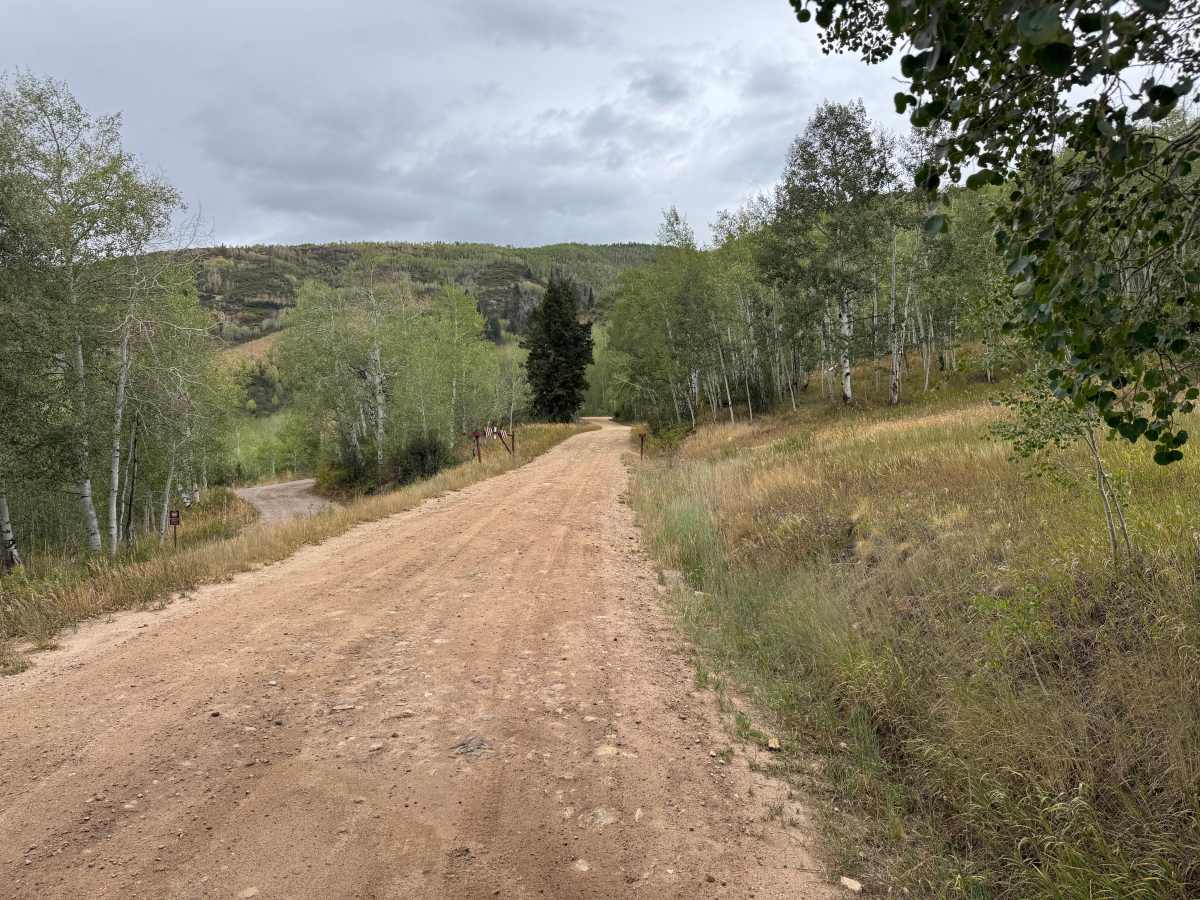
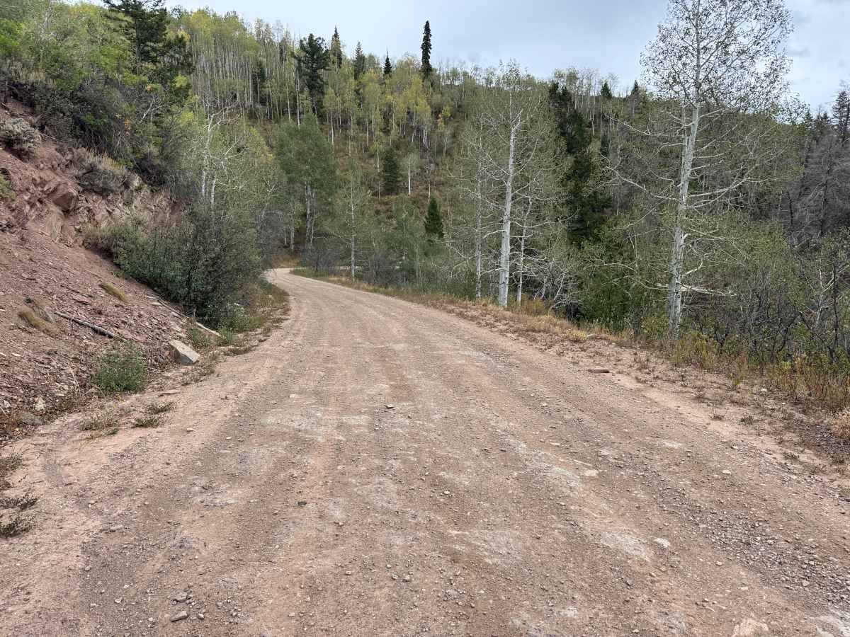
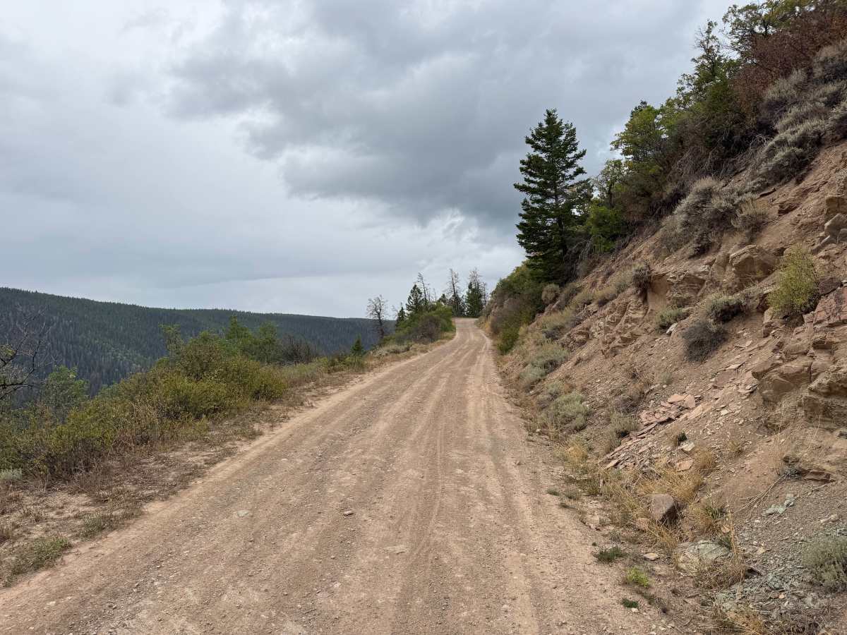
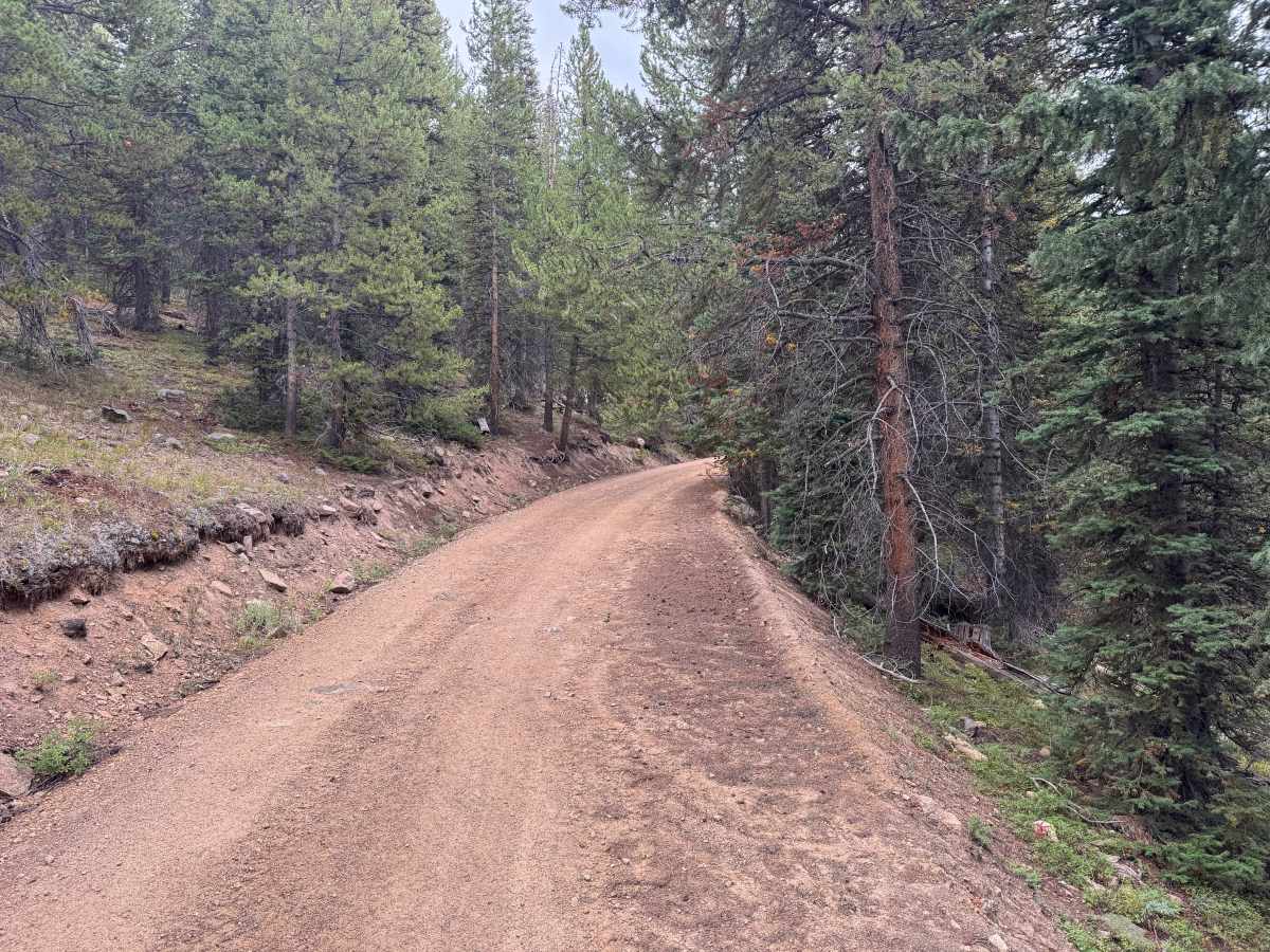
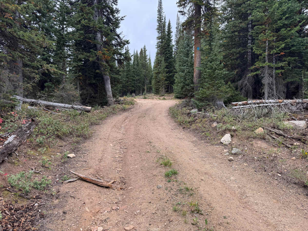
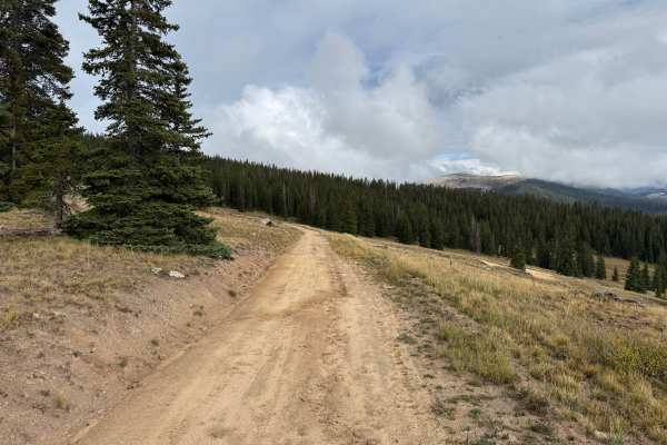
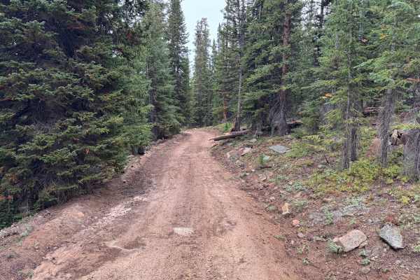
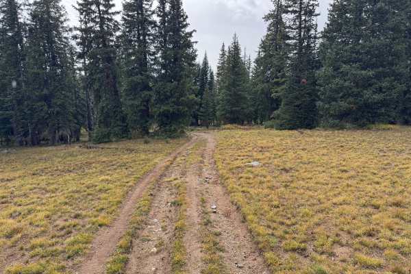
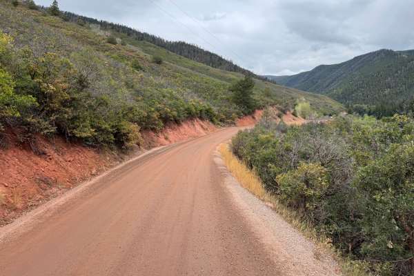
This route travels through the mountains north of Aspen near Lenado and within the White River National Forest. The surrounding landscape transitions between open hillsides, large aspen groves, and dense stands of spruce, fir, and pine. The road surface is primarily packed dirt and gravel, with occasional areas of exposed rock and reddish native soil. Several sections open to views across the surrounding valleys and forested mountain slopes before returning to heavier timber. Aspen groves, mountain shrubs, grasses, and rocky hillsides create a varied landscape throughout the drive. There are also dispersed camping opportunities along the route. Please note that the southern 4.8 miles from the Woody Creek Trailhead are limited to highway-legal vehicles only. All vehicle types are permitted on the northern portion running from (39.26792, -106.76045) to (39.27246, -106.72331). The full route is open seasonally from June 21 through November 22. The seasonal closure is intended to reduce disturbance to wildlife, so pay attention to posted Forest Service signs and closure dates when traveling this route.
Difficulty
Mostly maintained dirt and gravel with scattered rocks, occasional whoops, dips, and rougher sections. Significant grades and shelf-road sections require additional caution, but there are no major technical obstacles. Please note that the southern 4.8 miles from the Woody Creek Trailhead are limited to highway-legal vehicles only. All vehicle types are permitted on the northern portion running from (39.26792, -106.76045) to (39.27246, -106.72331).
History
The mountains northeast of Aspen have a long history of mining, ranching, logging, and backcountry travel. Lenado developed as a small mining settlement during the late 1800s and was historically known as Woody Creek. Mining activity occurred throughout the surrounding mountains, while timber from the area was also used to support Aspen’s growing mining industry. Many of the roads and routes crossing these mountains originated as access routes for mines, timber operations, ranches, and remote settlements before becoming today’s forest-road network.