Trail Overview
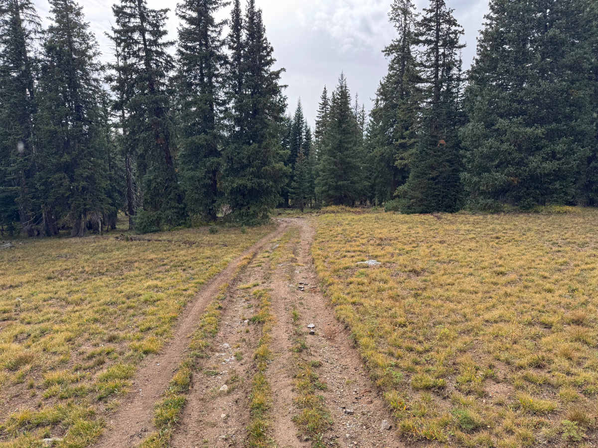
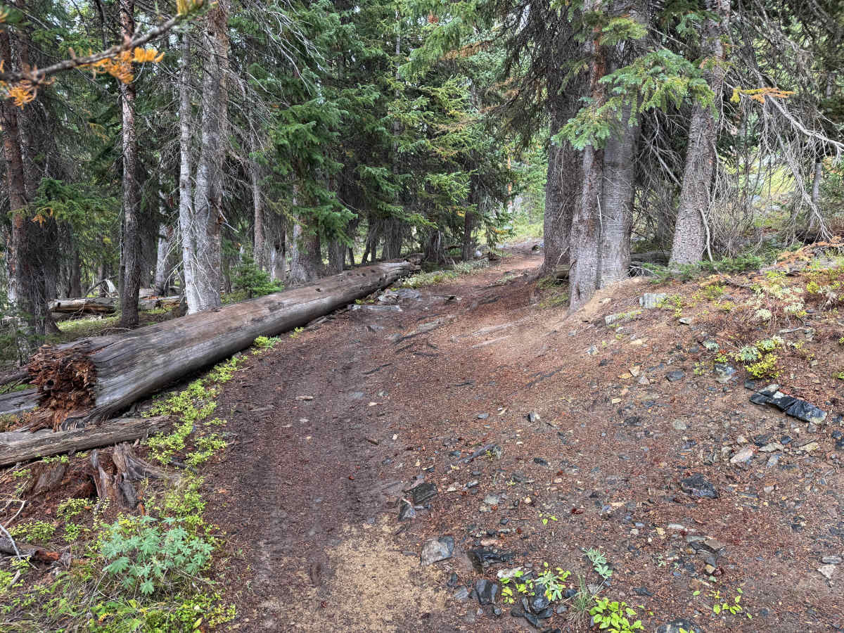
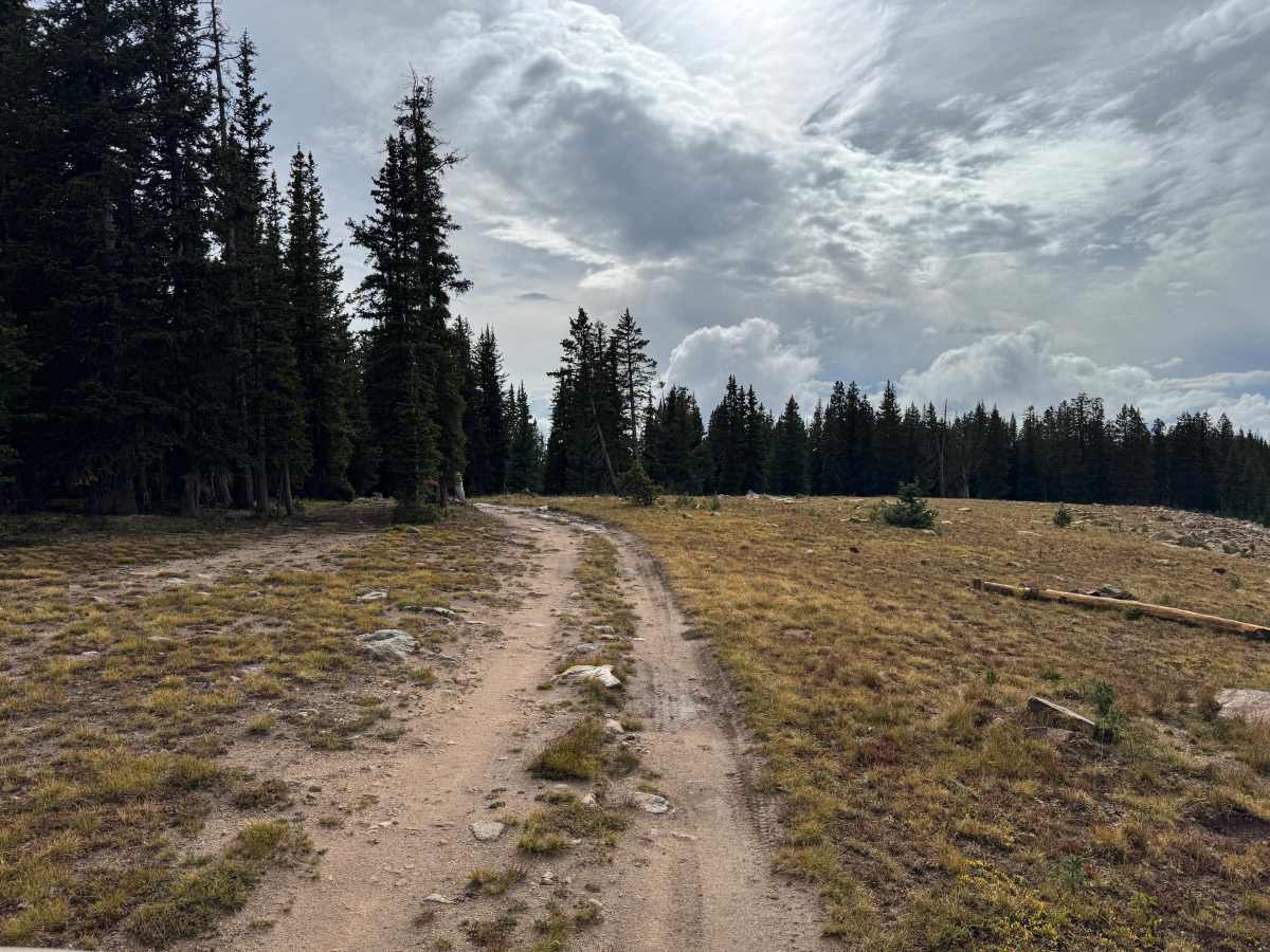
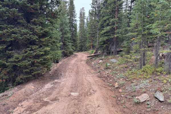
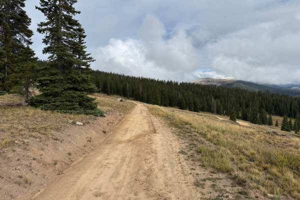
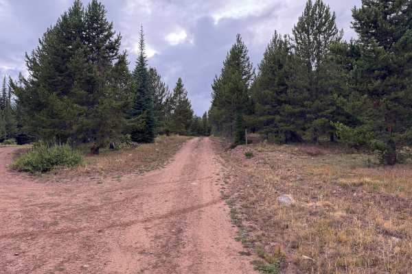
Mount Yeckel travels through a high-elevation landscape of dense evergreen forest and open mountain meadows as it works its way toward Mount Yeckel. The route passes through thick stands of spruce and fir before periodically opening into broad grassy areas that provide views of the surrounding mountains and forested ridgelines. Fallen timber and scattered rock are common along the forest floor, while the more exposed sections feature low alpine vegetation and scattered evergreens. Near Mount Yeckel, the terrain becomes increasingly open, providing expansive views across the surrounding landscape. The route is seasonally restricted for motorized vehicles and is legally open to motorcycles, ATVs, UTVs, and full-size vehicles from June 21 through November 22 each year to help reduce disturbance to wildlife.
Difficulty
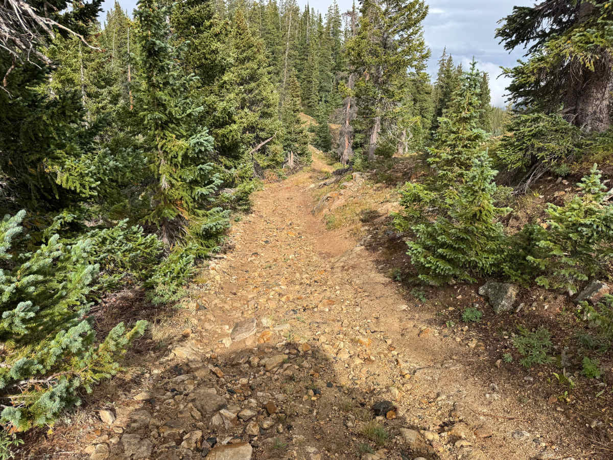
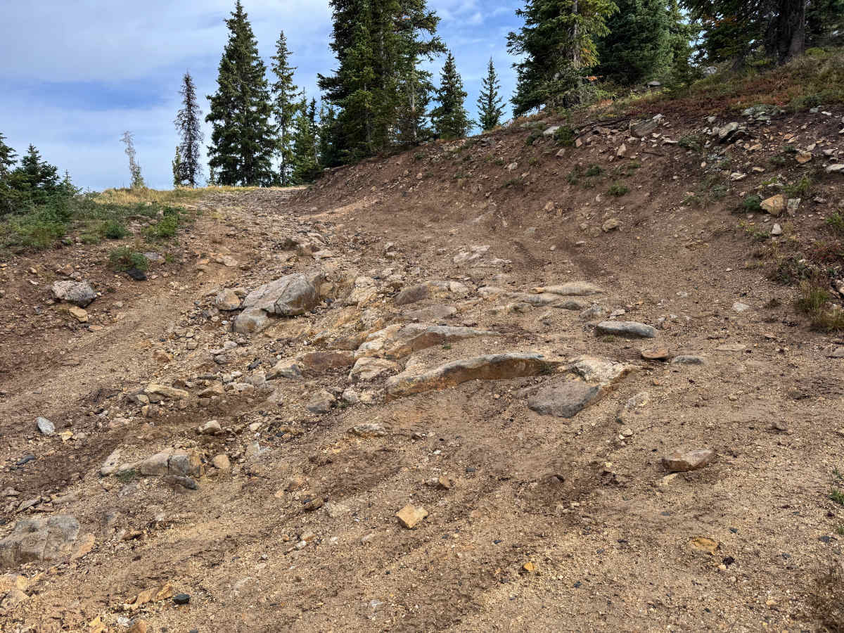
Steeper grades combine with loose rock, embedded rock, ruts, and uneven terrain. The most challenging turn is rocky and off-camber with exposed rocks up to approximately 12 inches tall, requiring high clearance, careful tire placement, and controlled momentum.
History
The mountains northeast of Aspen have a long history of mining, ranching, logging, and backcountry travel. Lenado developed as a small mining settlement during the late 1800s and was historically known as Woody Creek. Mining activity occurred throughout the surrounding mountains, while timber from the area was also used to support Aspen’s growing mining industry. Many of the roads and routes crossing these mountains originated as access routes for mines, timber operations, ranches, and remote settlements before becoming today’s forest-road network.

 Offroad