Trail Overview
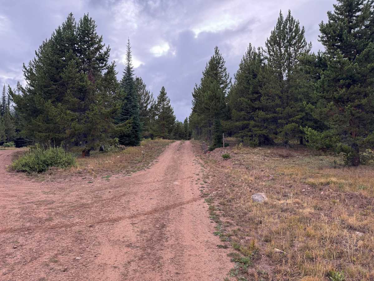
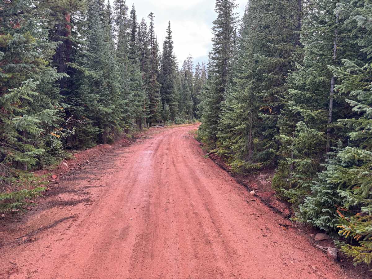
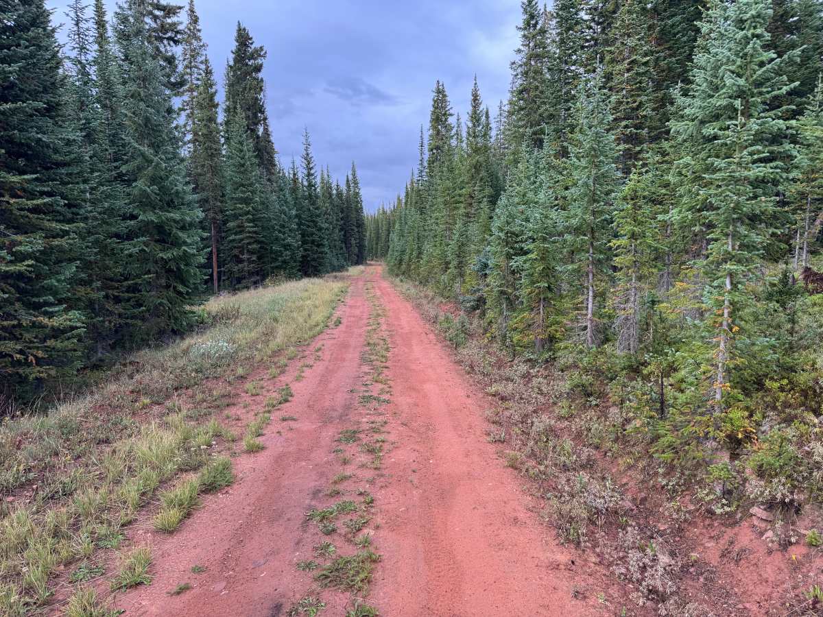
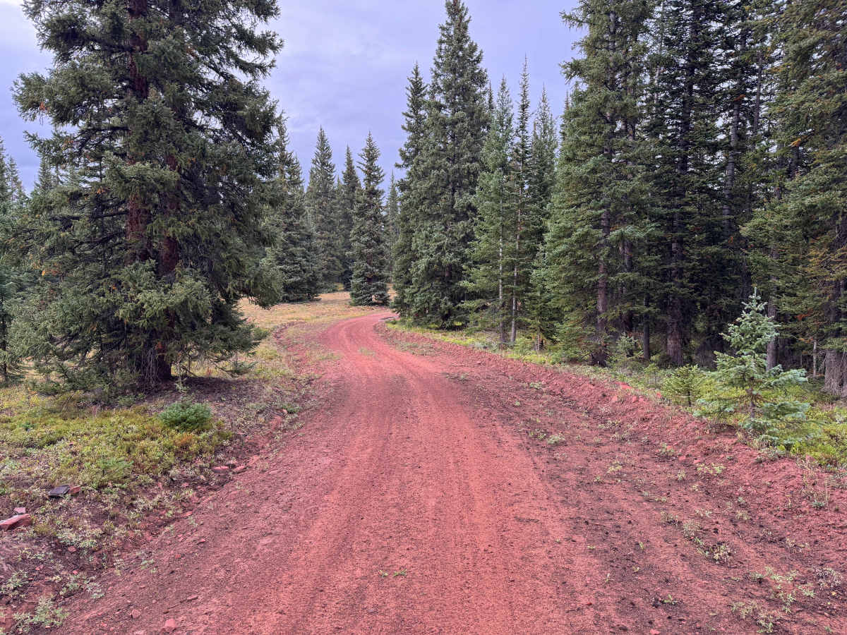
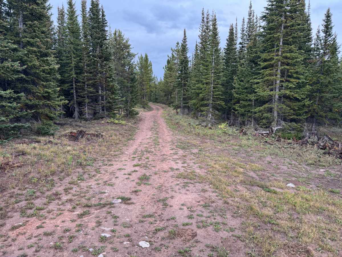
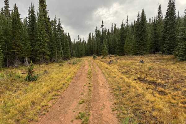
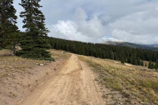
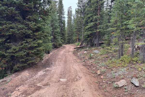
This out-and-back route travels through a high-elevation evergreen forest with a mix of dense timber and occasional small openings along the way. The surrounding vegetation consists primarily of spruce, fir, and pine, with grasses, low shrubs, and other groundcover filling the more open areas between the trees. The reddish dirt surface gives the route a distinctive appearance and contrasts with the surrounding green vegetation. Much of the drive remains enclosed by forest, although a few sections open enough to provide broader views of the surrounding landscape. The route is generally one vehicle wide, with occasional spaces available for vehicles to pull over and pass. At the end, there is enough open space to turn around before returning the way you came. Wildlife may also be encountered throughout the area, so keep an eye out while traveling. Travel on this route is seasonally restricted to June 21 through November 22 to avoid disturbance to wildlife.
Difficulty
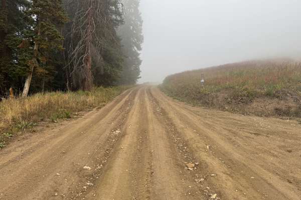
Whoops, dips, potholes, and shallow ruts from water erosion create minor uneven sections along the dirt surface. The route is generally one vehicle wide with passing areas and does not contain any major obstacles.
History
The mountains northeast of Aspen have a long history of mining, ranching, logging, and backcountry travel. Lenado developed as a small mining settlement during the late 1800s and was historically known as Woody Creek. Mining activity occurred throughout the surrounding mountains, while timber from the area was also used to support Aspen’s growing mining industry. Many of the roads and routes crossing these mountains originated as access routes for mines, timber operations, ranches, and remote settlements before becoming today’s forest-road network.