Trail Overview
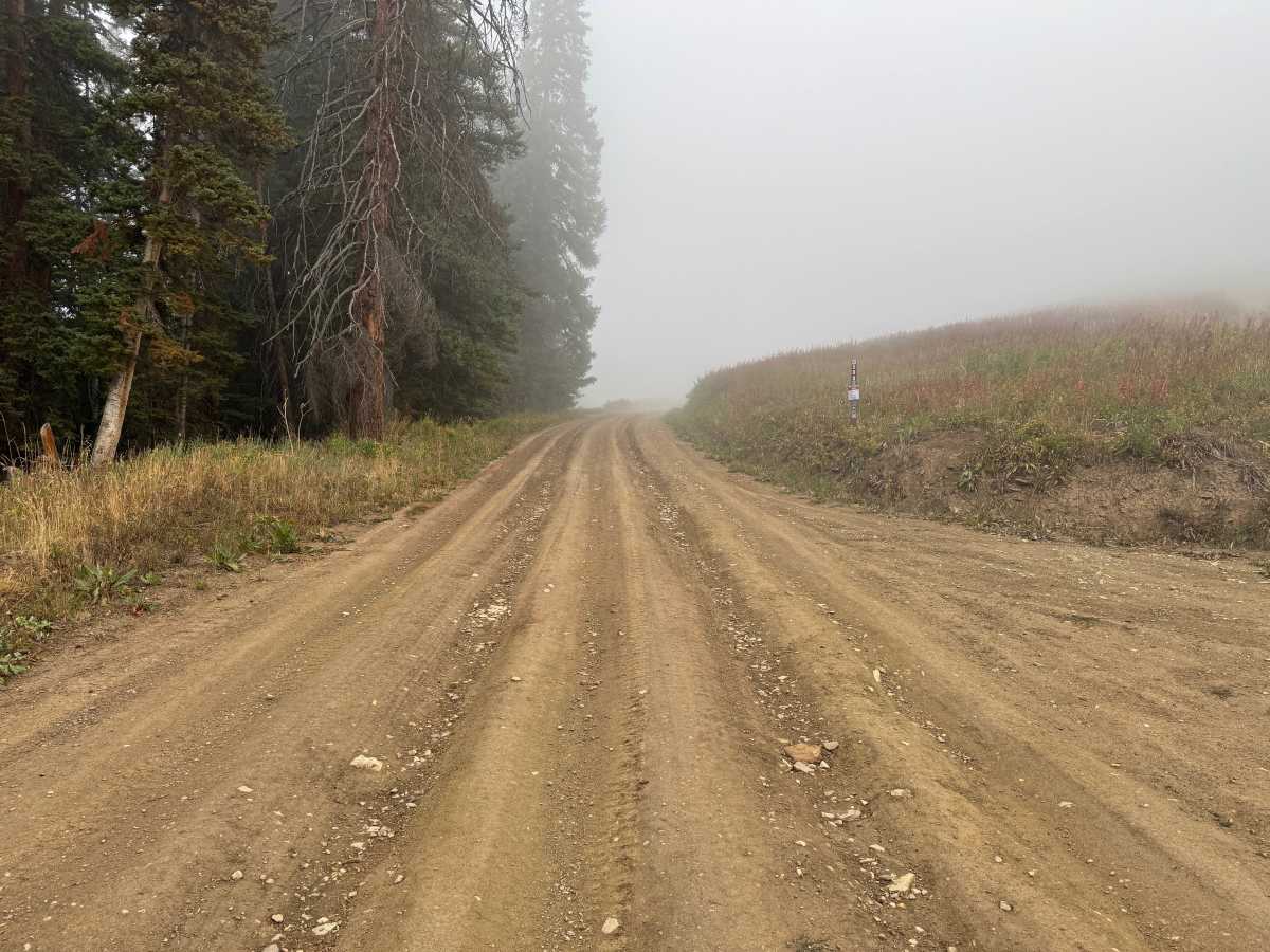
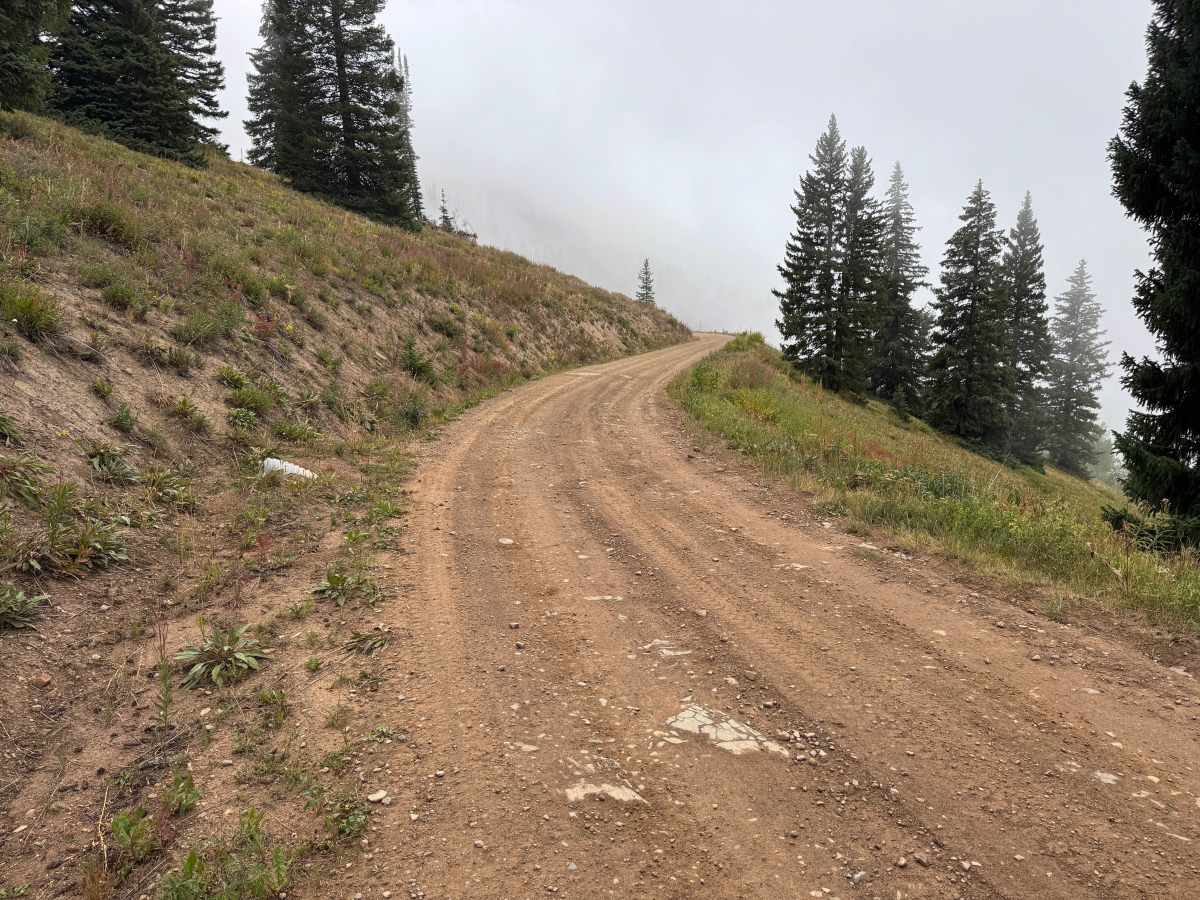
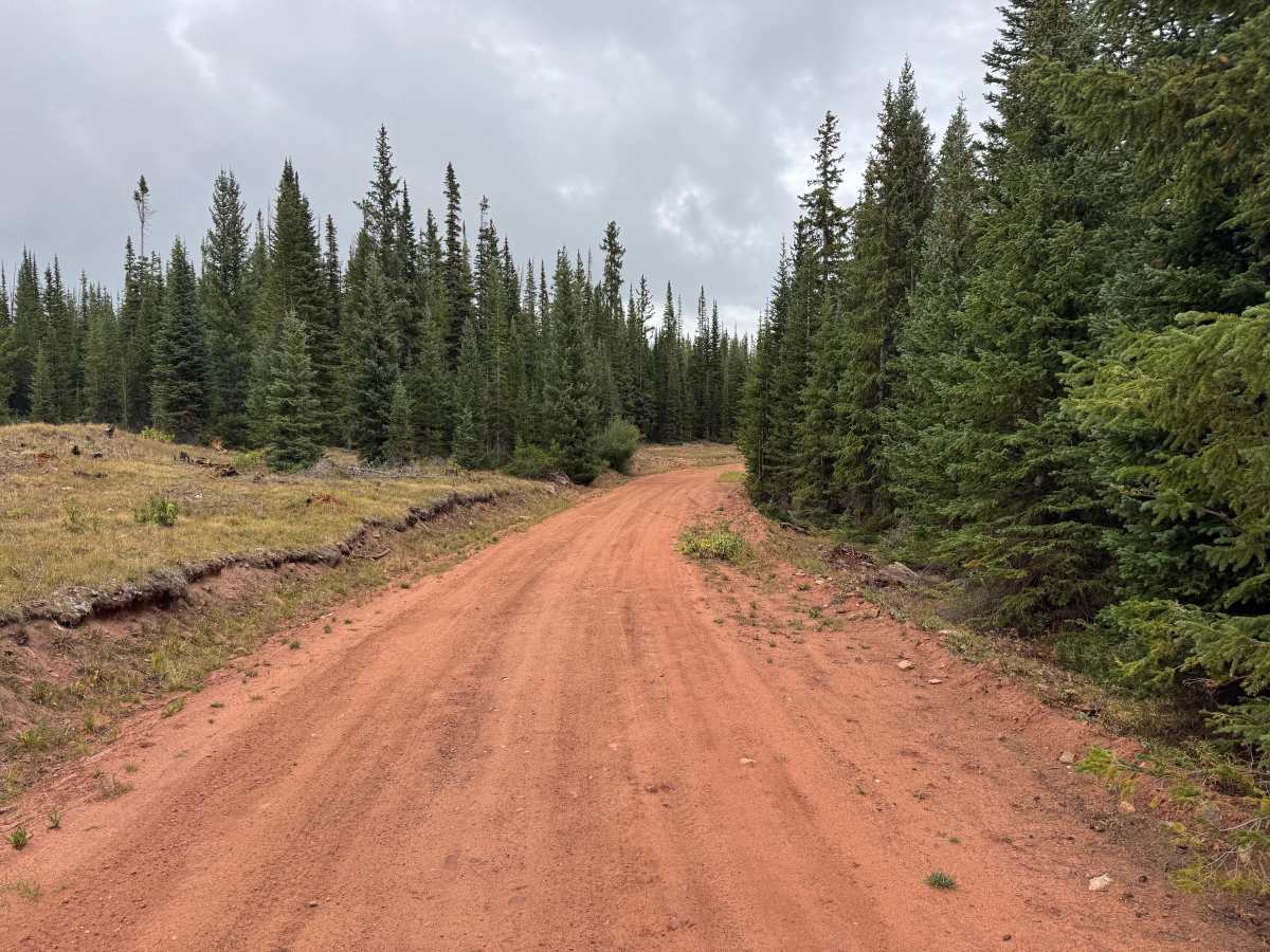
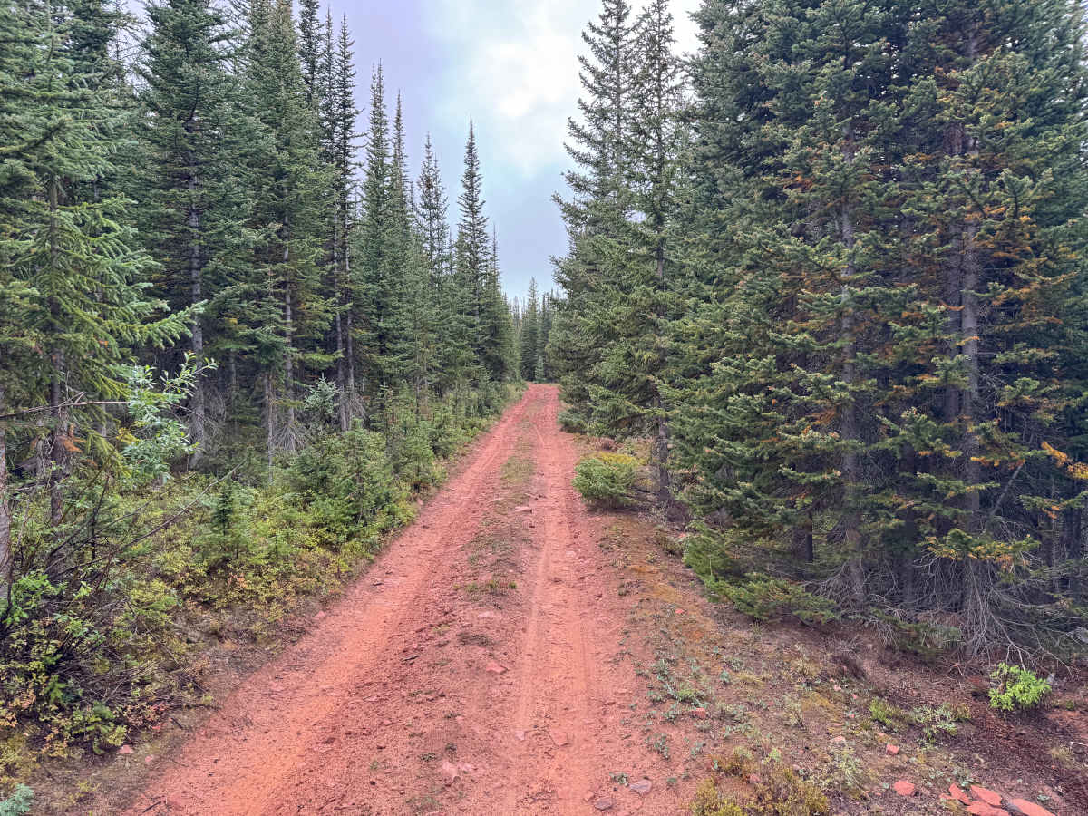
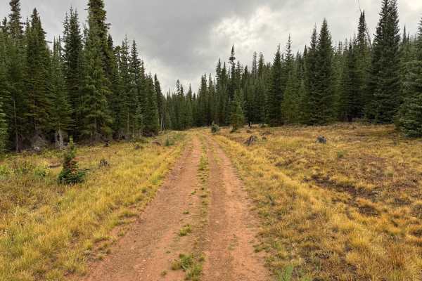
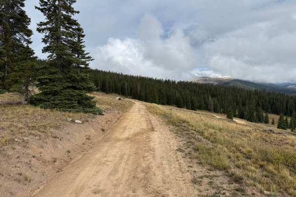
This route travels through a high-elevation landscape of dense evergreen forest and open mountain meadows. The surroundings alternate between heavily wooded sections and more exposed mountainsides, creating a noticeable change in scenery throughout the drive. Spruce and fir dominate the forest, while grassy openings and low mountain vegetation cover the more open areas. In several places, the route emerges from the trees and follows the mountainside before returning beneath the dense forest canopy. The higher elevations provide opportunities for views across the surrounding landscape when weather conditions allow, while fog and low clouds can create an entirely different mountain experience. Travel is seasonally restricted to protect wildlife, with the posted travel period running from June 21 through November 22.
Difficulty
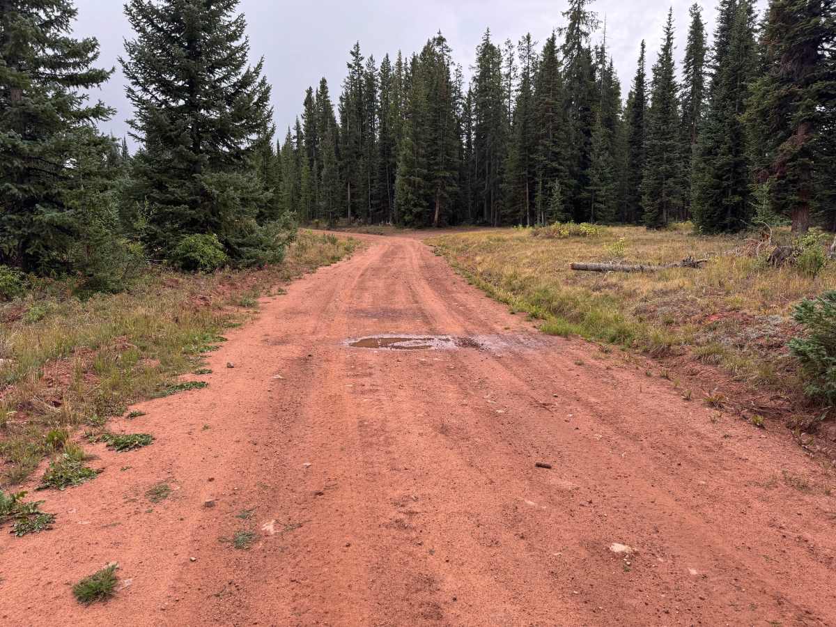
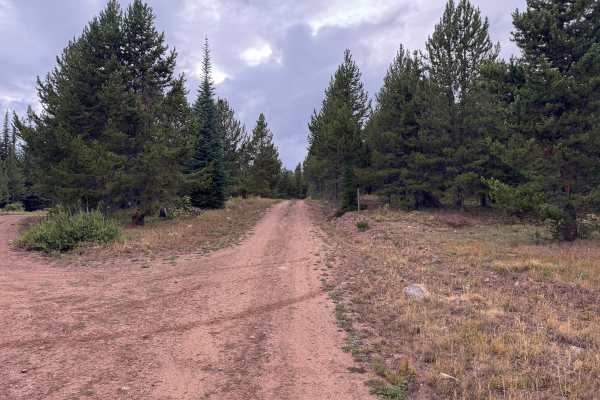
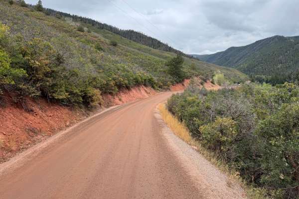
Maintained dirt and gravel with some shallow ruts, small embedded rocks, and occasional potholes. Grades are generally mild to moderate, and wet conditions may create slick or muddy sections.
History
The mountains northeast of Aspen have a long history of mining, ranching, logging, and backcountry travel. Lenado developed as a small mining settlement during the late 1800s and was historically known as Woody Creek. Mining activity occurred throughout the surrounding mountains, while timber from the area was also used to support Aspen’s growing mining industry. Many of the roads and routes crossing these mountains originated as access routes for mines, timber operations, ranches, and remote settlements before becoming today’s forest-road network.

 Offroad