Trail Overview
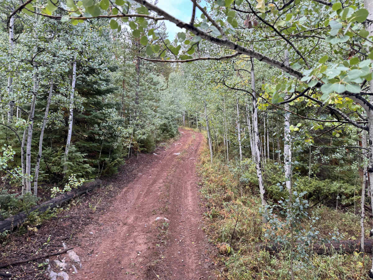
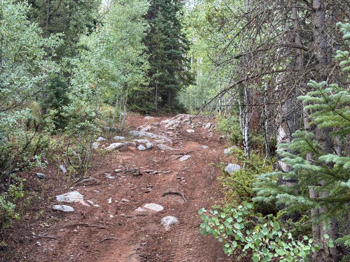
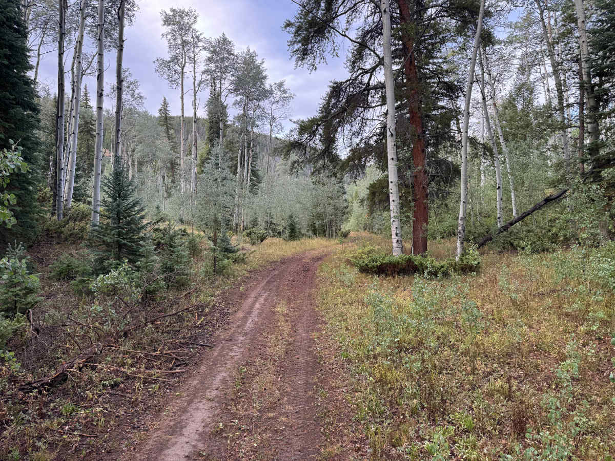
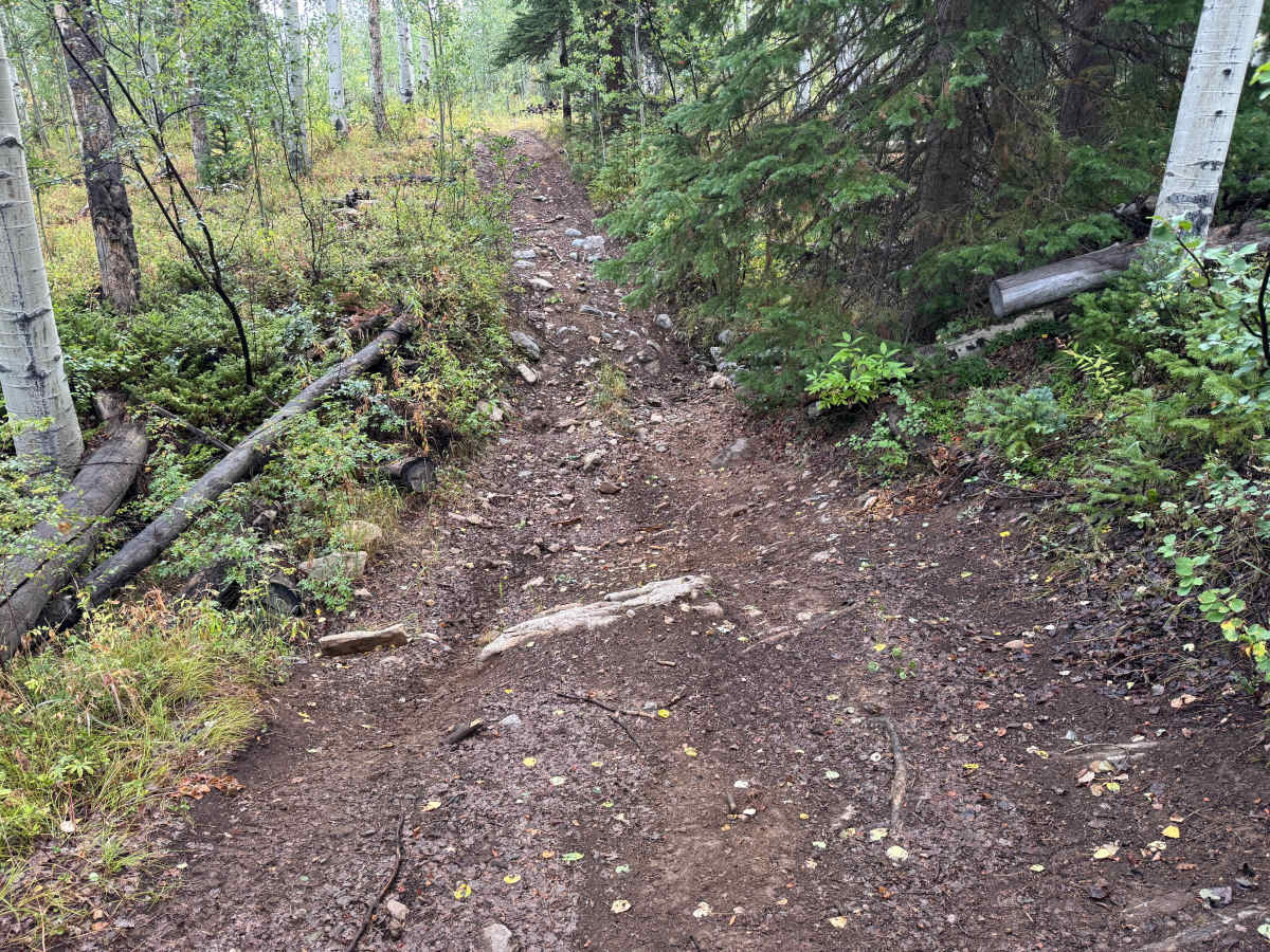
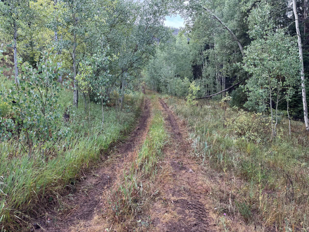
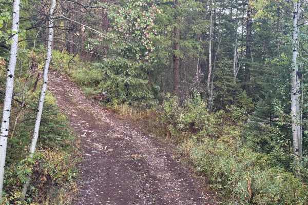
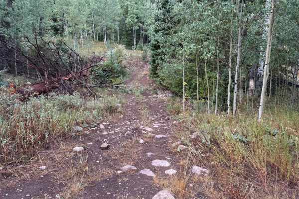
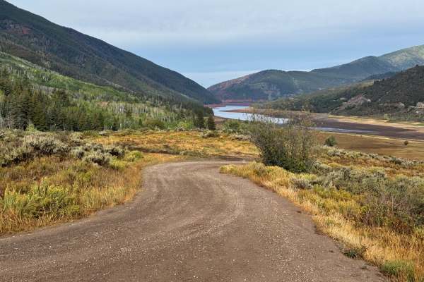
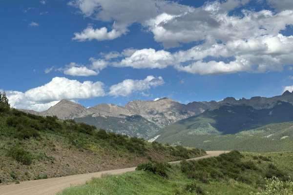
This route travels through the forested mountains near Little Deadman Creek and connects directly with Little Deadman Road. The surrounding area has a long history of access routes associated with the Fryingpan River drainage, and Little Deadman Creek appears by name on historic mapping of the area. The trail winds through thick stands of aspen, spruce, fir, and pine, occasionally opening into small grassy meadows before returning to dense forest. The surface varies considerably, with smoother packed dirt sections giving way to exposed embedded rock, loose stone, roots, and rougher rocky climbs. Several sections have rocks approaching 12 inches in height. A drainage or creek crossing cuts through the route and, even when dry, forms a noticeable ravine that must be crossed. Steeper grades occur throughout the route, while the narrow forest corridor and changing surface give it a much more primitive character than the nearby main roads.
Difficulty
The trail includes steep grades, embedded and loose rocks, exposed roots, and rocky sections with protrusions approaching 12 inches. A drainage crossing creates a deeper ravine that requires careful tire placement, while wet conditions can make the dirt surface muddy and significantly reduce traction. High clearance, four-wheel drive, and low range are recommended for the steeper and rockier sections.
History
The upper Fryingpan Valley has a history tied to early transportation, logging, railroad activity, recreation, and water development. Norrie was once a Colorado Midland Railroad camp and supported a large timber and sawmill operation, with local timber used in railroad construction. The broader area later became an important part of the Fryingpan-Arkansas Project, with an extensive system of diversion structures, conduits, and tunnels carrying water beneath the mountains and across the Continental Divide. Several of these water-development features remain scattered throughout the surrounding mountains today.

 Offroad