Trail Overview
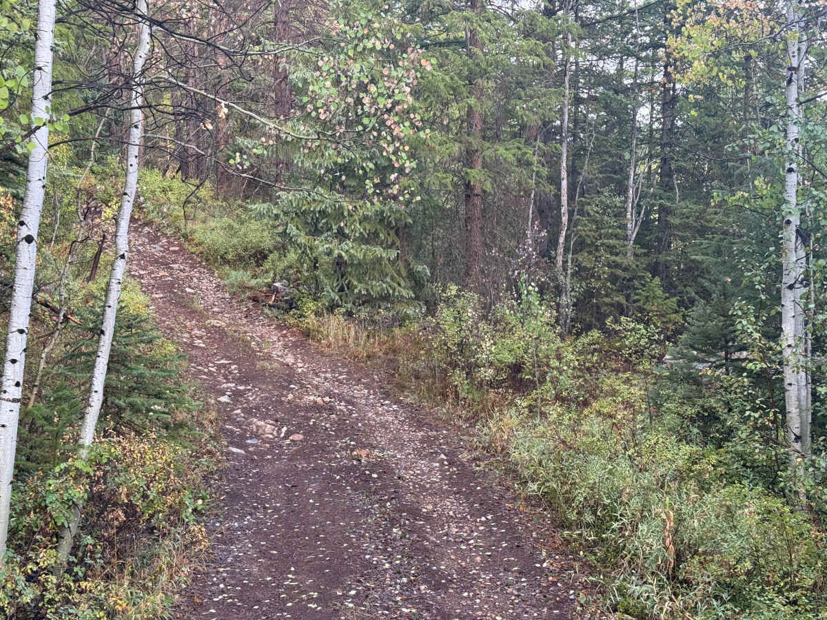
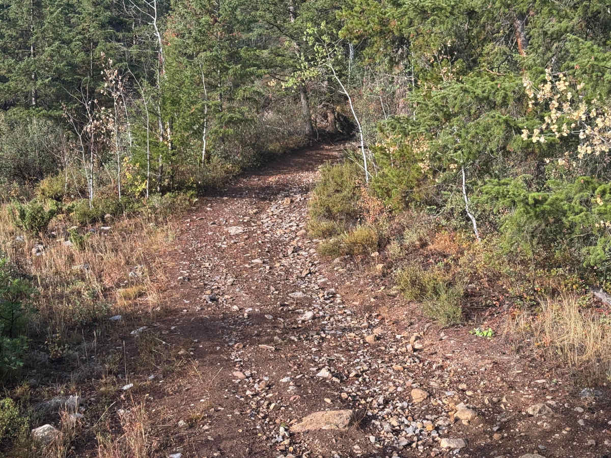
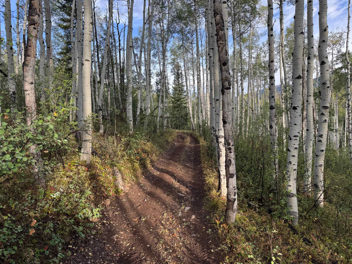
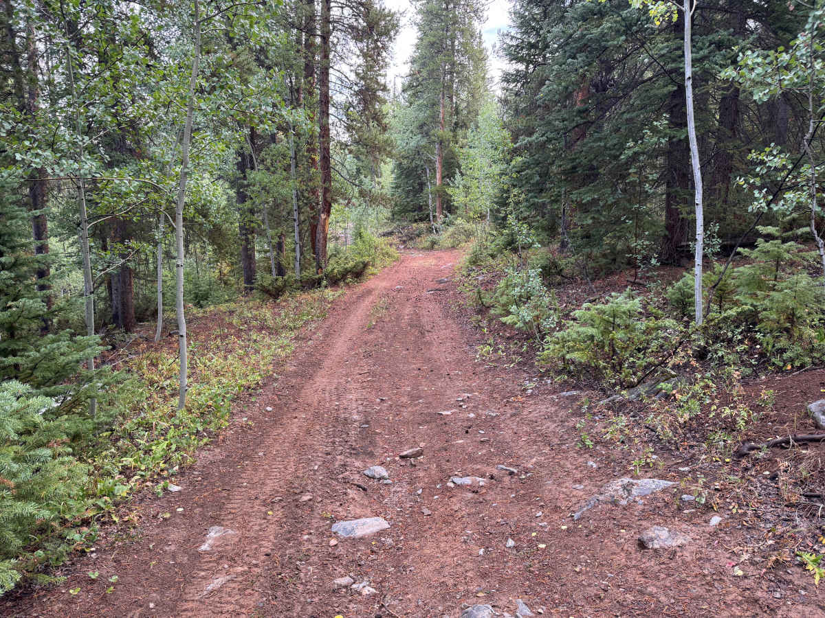
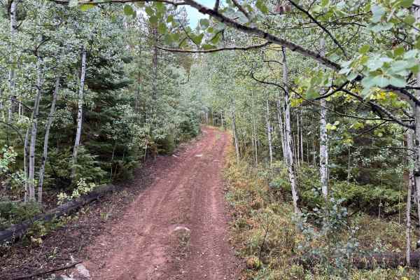
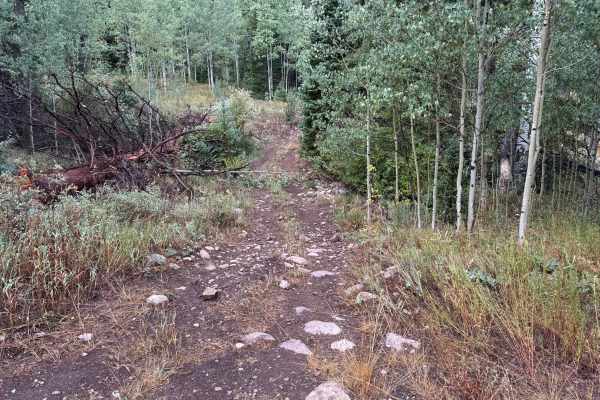
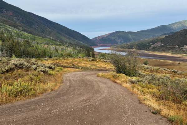
Little Deadman Road is a narrow, rugged mountain route that climbs through dense forest near Thomasville and the Fryingpan Valley. The route lies within the Little Deadman Creek area southwest of Thomasville, not far from the historic lime kilns along the Fryingpan Valley. The trail surface varies considerably, transitioning between relatively smooth packed dirt and much rougher stretches covered with loose rock and deeply embedded stones. Dense stands of aspen, spruce, and other conifers grow immediately alongside the trail, and overhanging vegetation may cause pinstriping. The combination of thick forest and rocky terrain gives the route a secluded backcountry character. Wet conditions could substantially increase the difficulty as the exposed soil becomes slick and traction between the embedded rocks deteriorates.
Difficulty
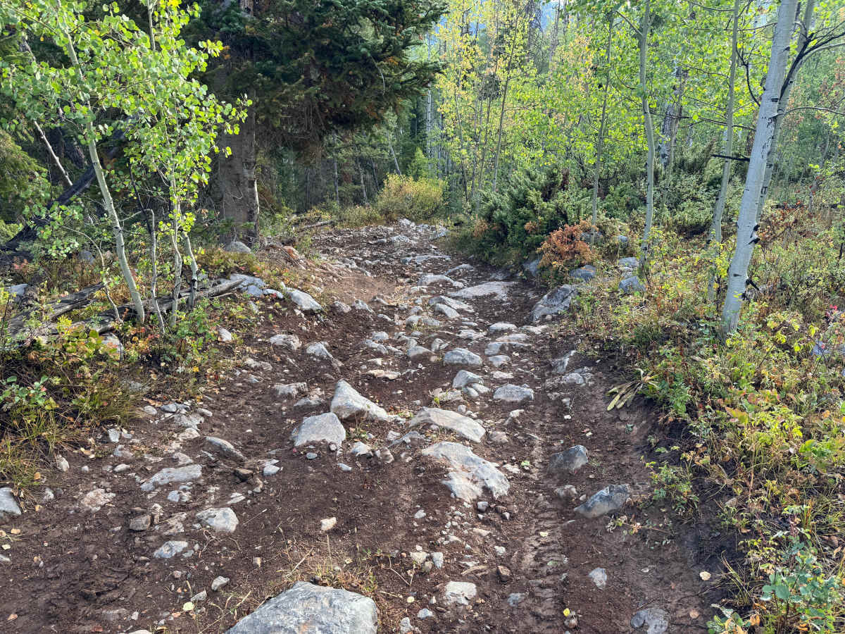
Several rocky sections have embedded and protruding rocks approaching one foot in height, requiring high clearance, four-wheel drive, and careful tire placement. Low range is recommended for better control through the rougher climbs. The trail can become extremely narrow, with few places to pass, and trees and brush frequently encroach into the travel corridor where pinstriping and paint scratches should be expected. Wet conditions can significantly increase the difficulty as the dirt becomes slick and traction decreases around the exposed rocks.
History
The upper Fryingpan Valley has a history tied to early transportation, logging, railroad activity, recreation, and water development. Norrie was once a Colorado Midland Railroad camp and supported a large timber and sawmill operation, with local timber used in railroad construction. The broader area later became an important part of the Fryingpan-Arkansas Project, with an extensive system of diversion structures, conduits, and tunnels carrying water beneath the mountains and across the Continental Divide. Several of these water-development features remain scattered throughout the surrounding mountains today.

 Offroad