Trail Overview
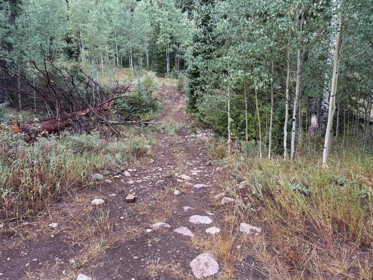
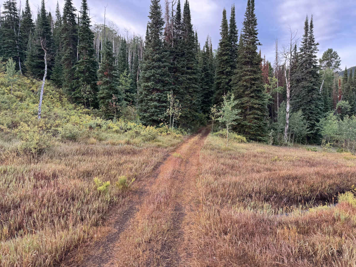
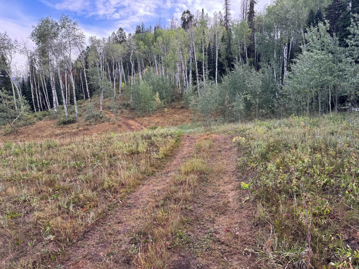
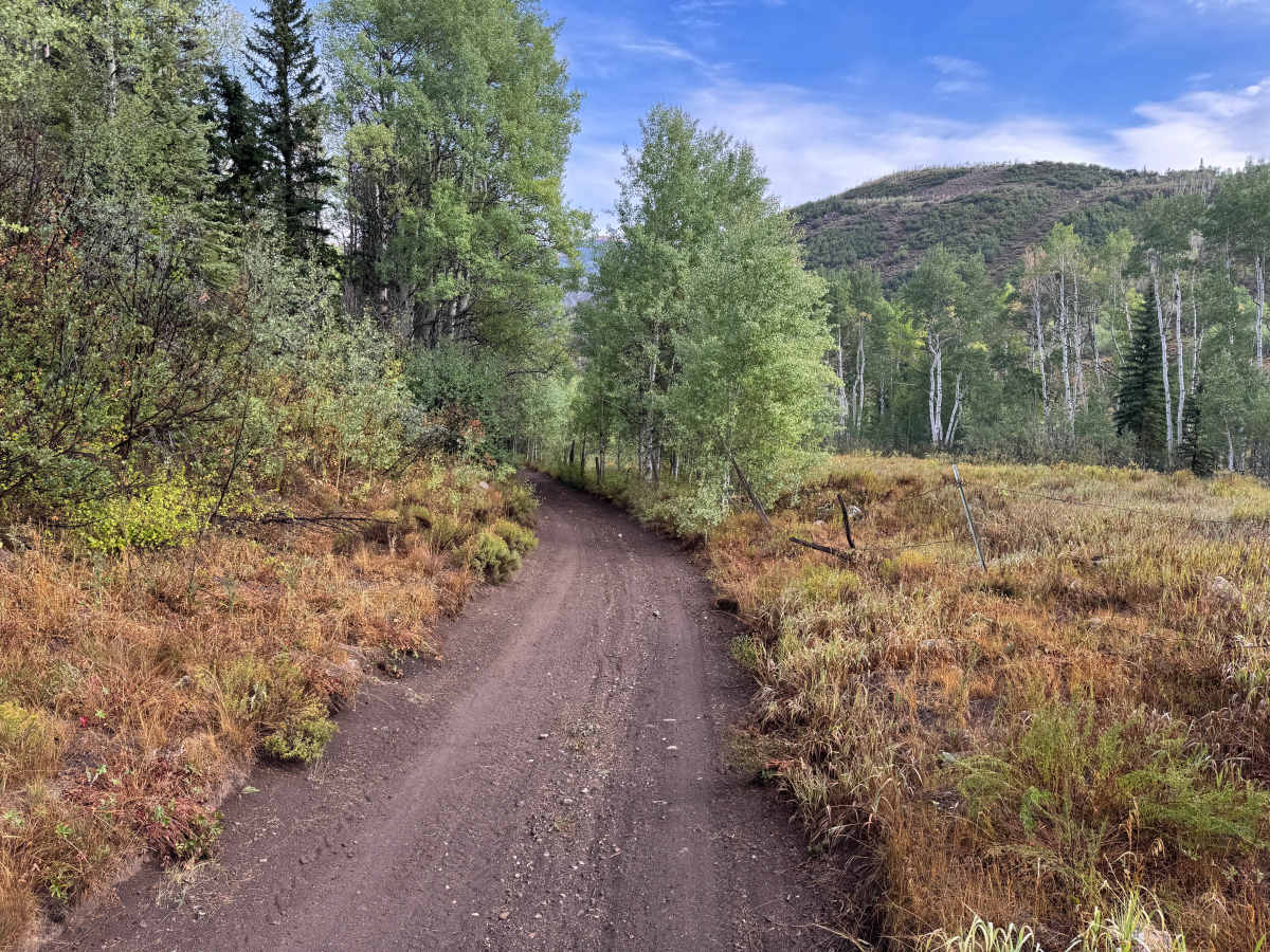
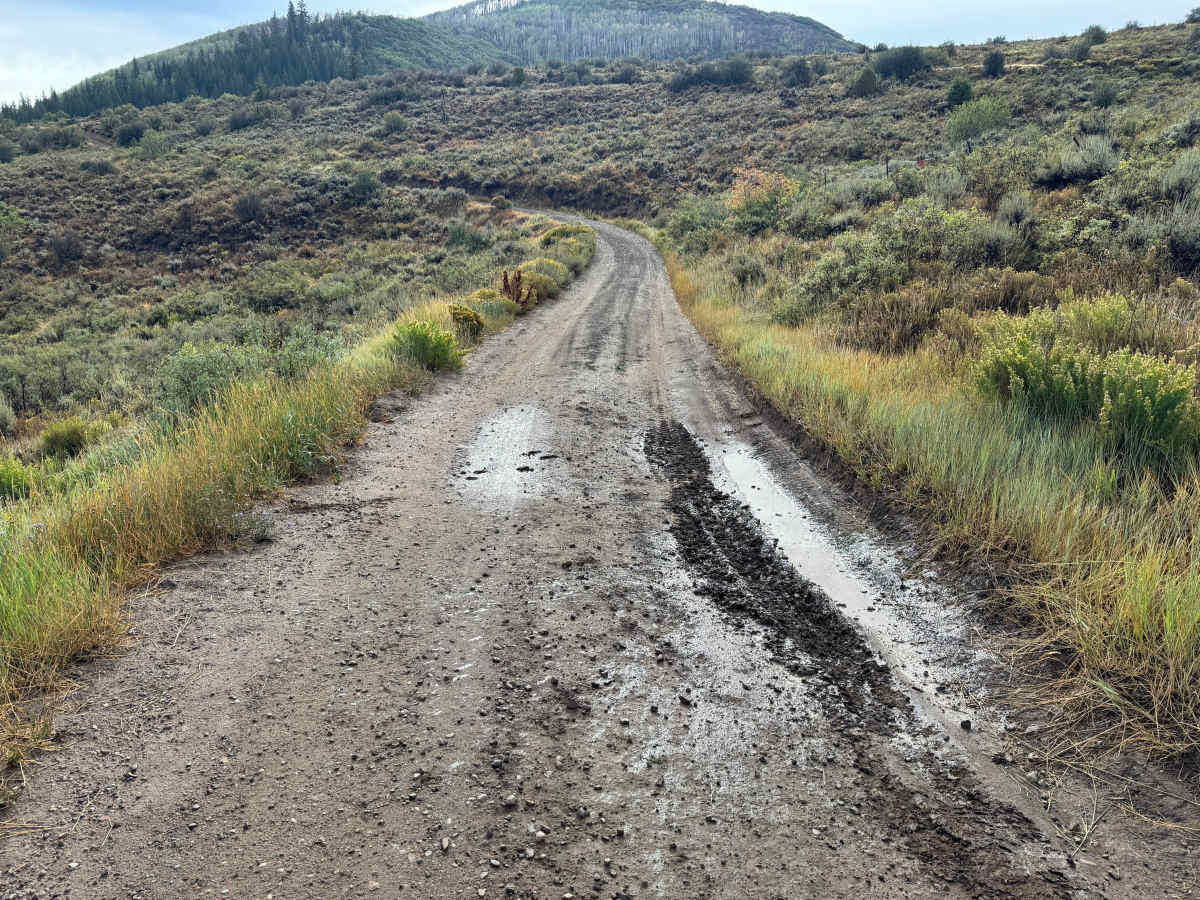
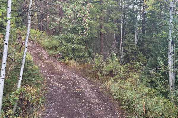
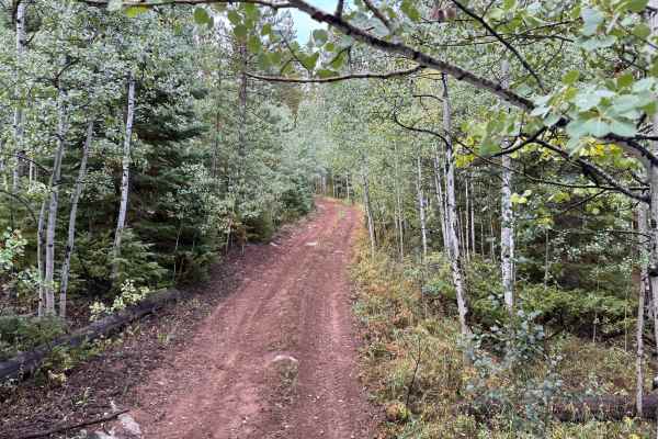
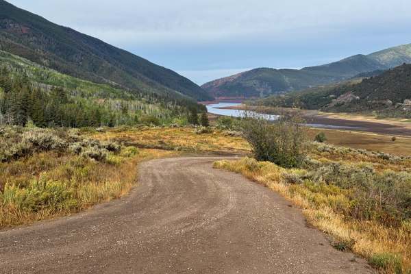
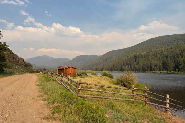
This route connects into the Little Deadman Road network within the White River National Forest. Little Deadman Road is an established road name in Pitkin County, and the broader Ruedi Reservoir area has a long transportation history, including routes associated with the former Colorado Midland Railroad. The route itself varies from narrow two-track through dense stands of aspen and conifers to more open sections crossing mountain meadows and sagebrush-covered hillsides. Much of the trail is only one vehicle wide, with very few places available for opposing vehicles to pass. Trees and brush grow extremely close to the trail in several areas, making pinstriping likely and potentially creating clearance problems for full-size vehicles. The surface is primarily dirt with scattered embedded and loose rocks, while wetter areas can develop mud, standing water, and soft ruts. The route also passes near private property, so remain on the established trail and respect property boundaries. As the forest begins to open near the end, the route provides expansive views across the surrounding White River National Forest and toward Ruedi Reservoir.
Difficulty
The route is primarily dirt with scattered loose and embedded rocks, mild ruts, and occasional rocky sections requiring careful tire placement. Mud, standing water, and soft ruts can develop after rain, increasing the difficulty considerably. The trail becomes very narrow through several sections with trees and vegetation encroaching on the travel surface, while limited passing areas can make meeting another vehicle difficult. High clearance is recommended, particularly through the rockier and more deeply rutted sections.
History
The area surrounding Ruedi Reservoir has a history tied to early settlement, ranching, logging, transportation, and water development in the Fryingpan Valley. The Colorado Midland Railroad once traveled through the Fryingpan Valley, with communities such as Meredith and Thomasville developing along the railroad corridor. The landscape changed significantly with construction of Ruedi Dam and Reservoir as part of the Fryingpan-Arkansas Project. Completed in the late 1960s, the reservoir became an important part of the region's water-storage system while also creating one of the area's major recreation destinations.

 Offroad