Trail Overview
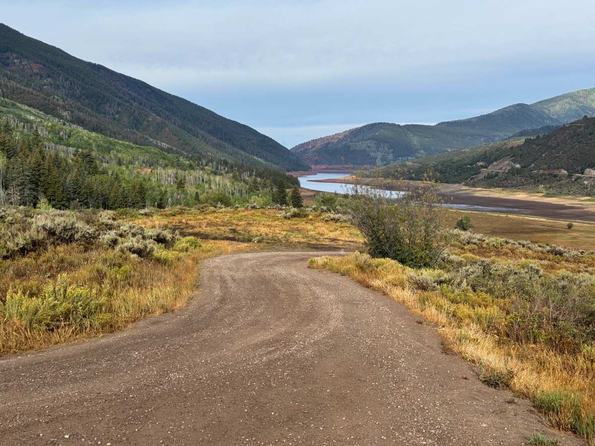
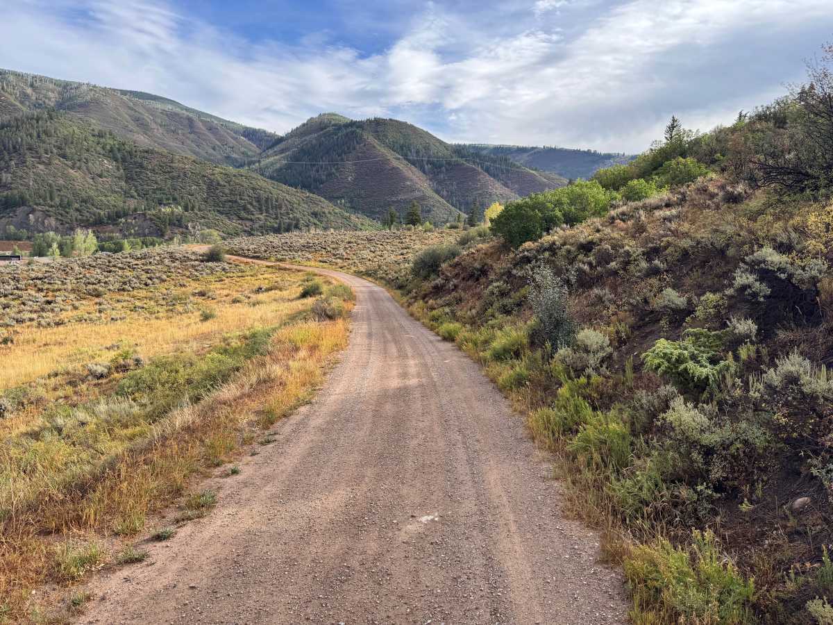
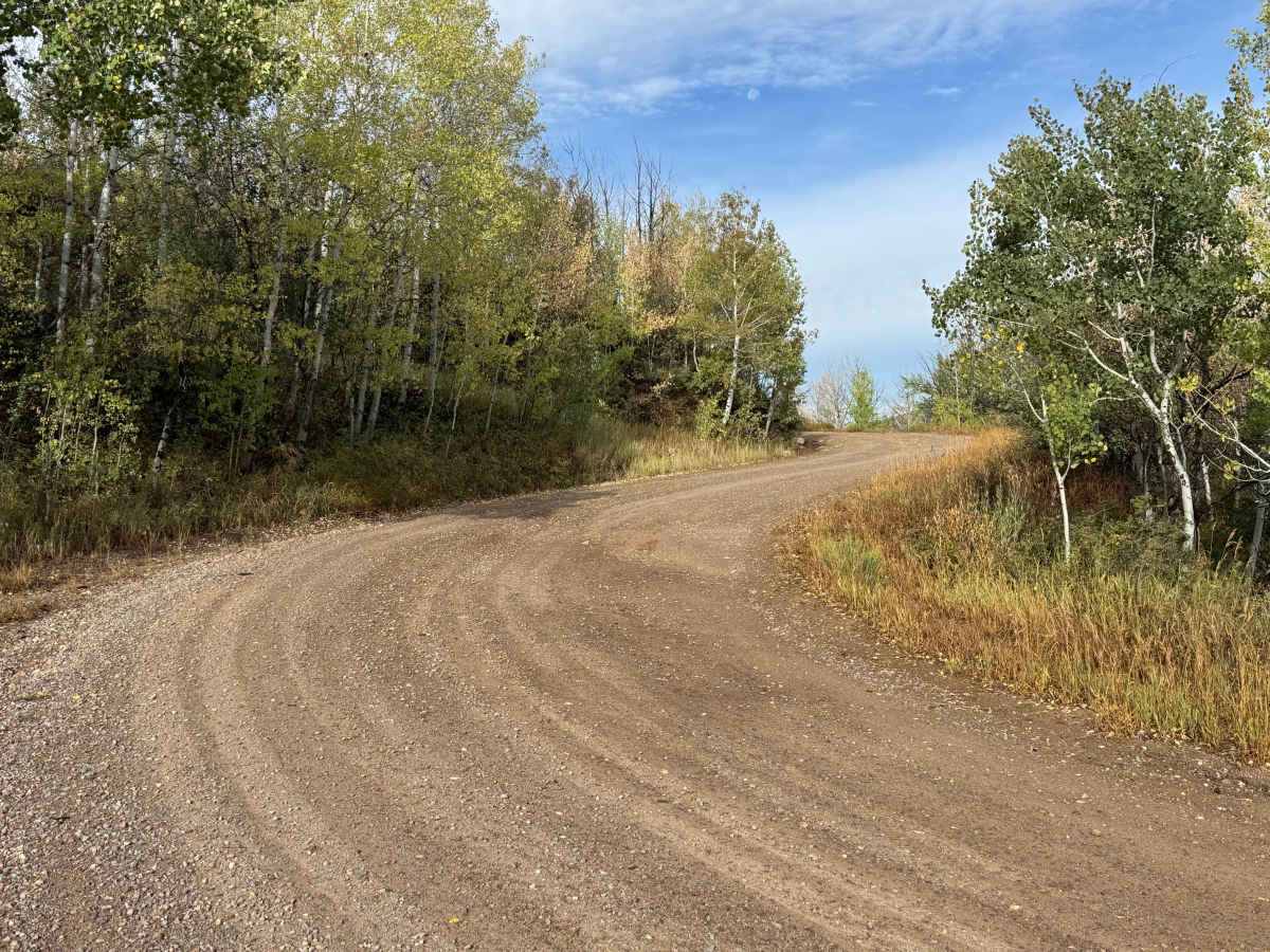
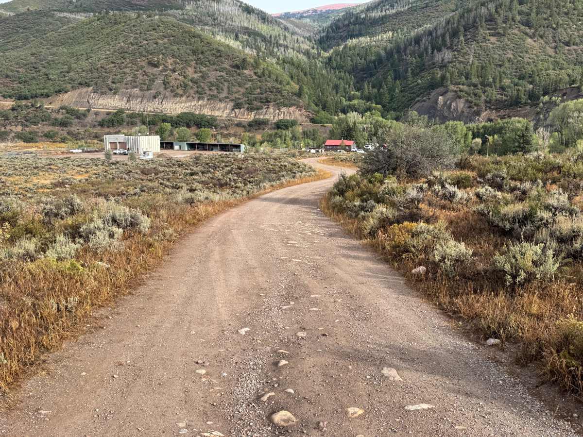
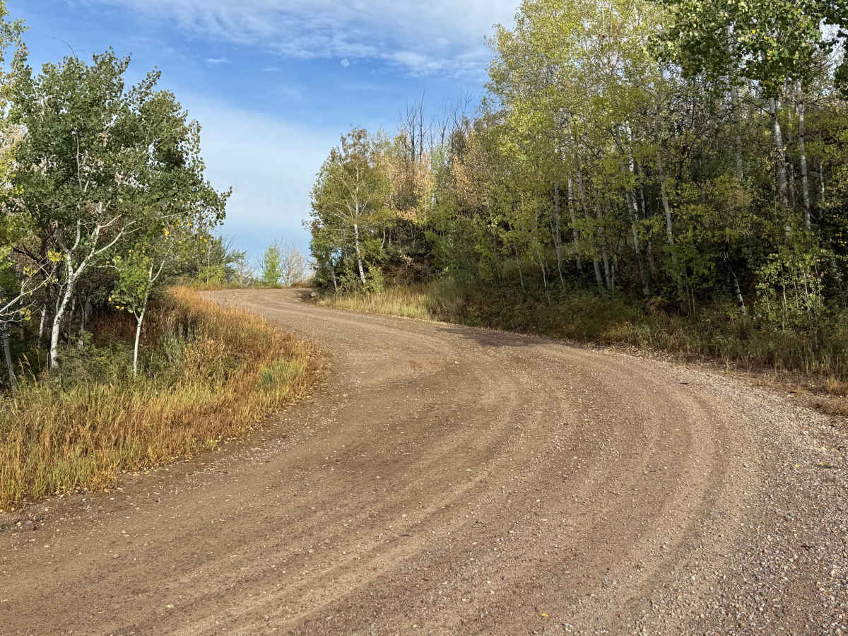
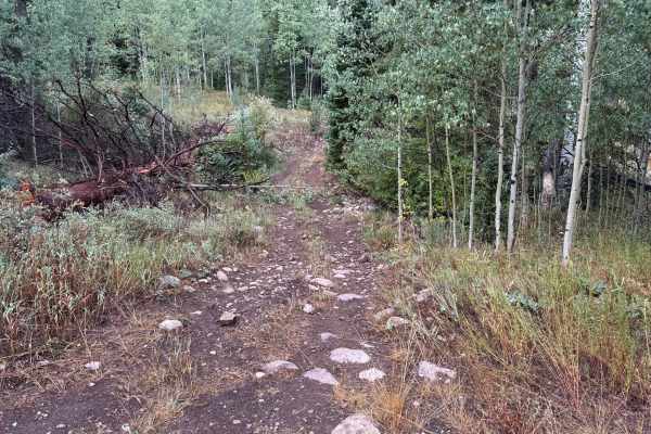
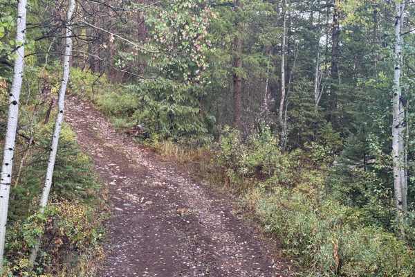
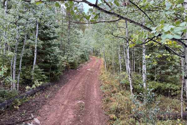
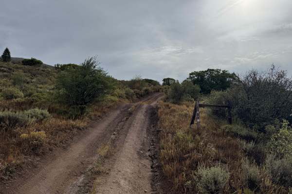
This through route connects with Meredith Trail and descends through the mountainous terrain surrounding Ruedi Reservoir. The road surface is predominantly maintained dirt and gravel, with scattered small embedded rocks but no major obstacles. Much of the route is approximately one vehicle wide, and there are limited places to safely pass oncoming traffic. The surroundings alternate between thick stands of aspen and conifers and more open hillsides covered in sagebrush, grasses, and low mountain shrubs. Several open sections provide excellent views across the Fryingpan River valley and Ruedi Reservoir before the route descends toward the Dearhamer Campground with vault toilets. Ruedi Reservoir was constructed between 1964 and 1968 on the Fryingpan River as part of the federal Fryingpan-Arkansas Project. The reservoir stores water for West Slope uses while helping compensate for water diverted across the Continental Divide to southeastern Colorado.
Difficulty
This route consists primarily of maintained dirt and gravel with scattered small rocks and no significant obstacles. The road is generally one vehicle wide with limited passing opportunities, but the surface is relatively smooth and suitable for most high-clearance vehicles under normal dry conditions. Steeper grades are minimal, and four-wheel drive should not normally be necessary.
History
The area surrounding Ruedi Reservoir has a history tied to early settlement, ranching, logging, transportation, and water development in the Fryingpan Valley. The Colorado Midland Railroad once traveled through the Fryingpan Valley, with communities such as Meredith and Thomasville developing along the railroad corridor. The landscape changed significantly with construction of Ruedi Dam and Reservoir as part of the Fryingpan-Arkansas Project. Completed in the late 1960s, the reservoir became an important part of the region's water-storage system while also creating one of the area's major recreation destinations.

 Offroad