Trail Overview
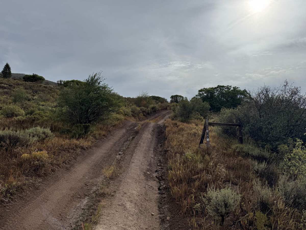
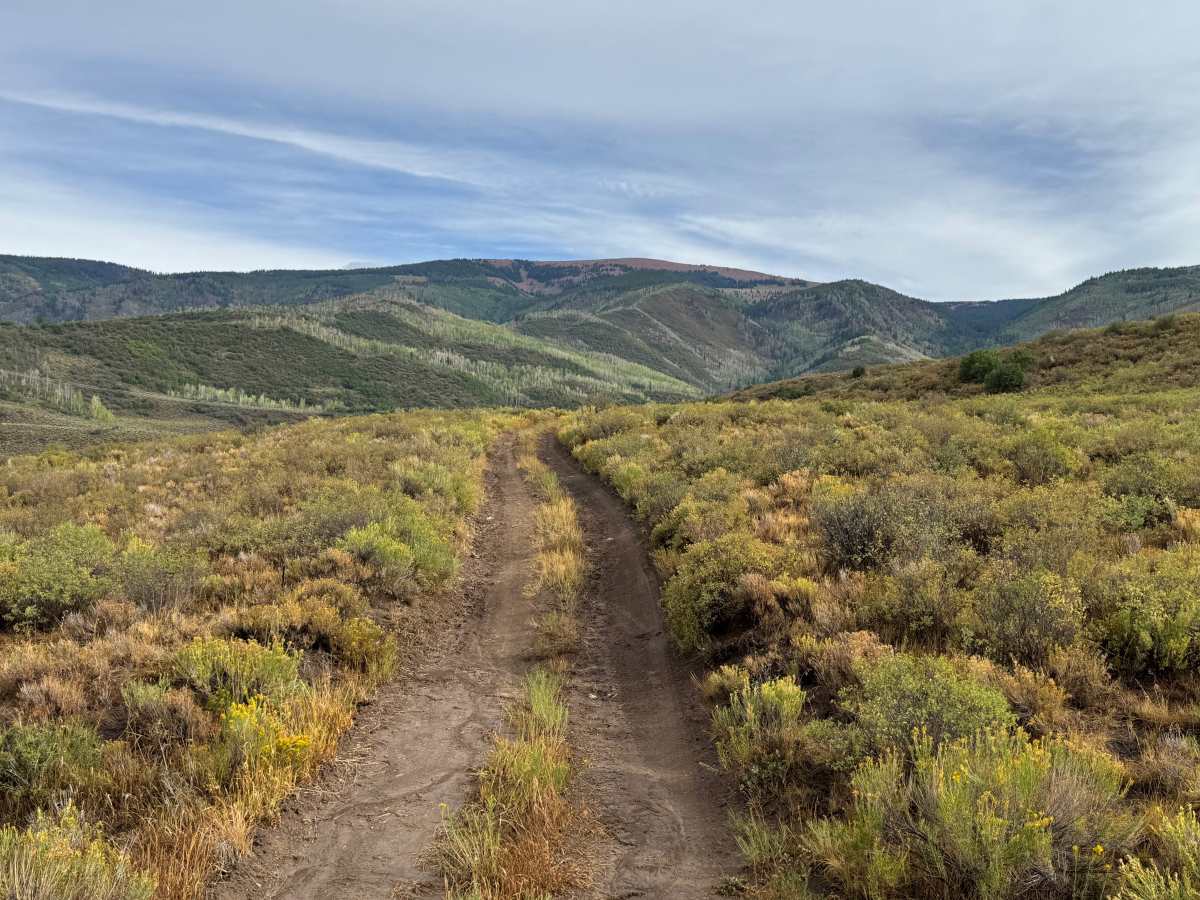
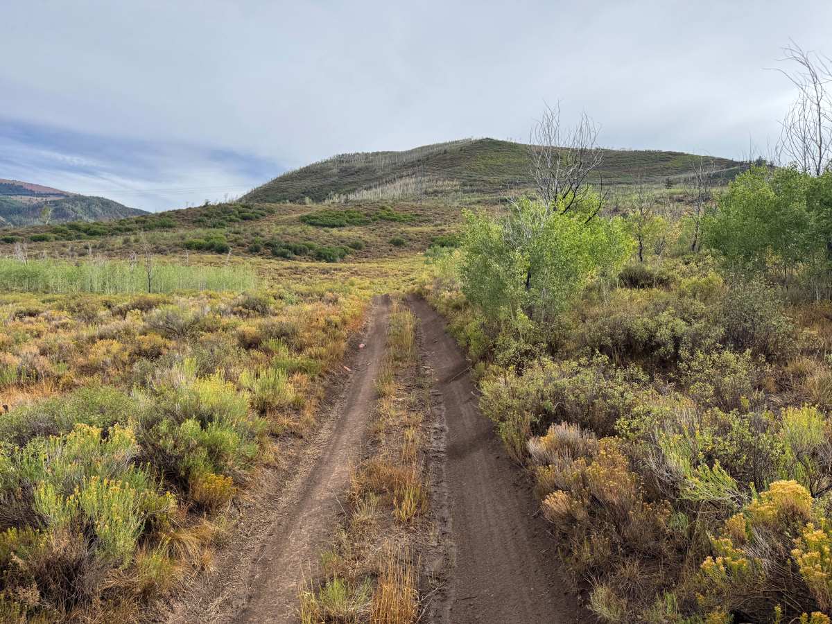
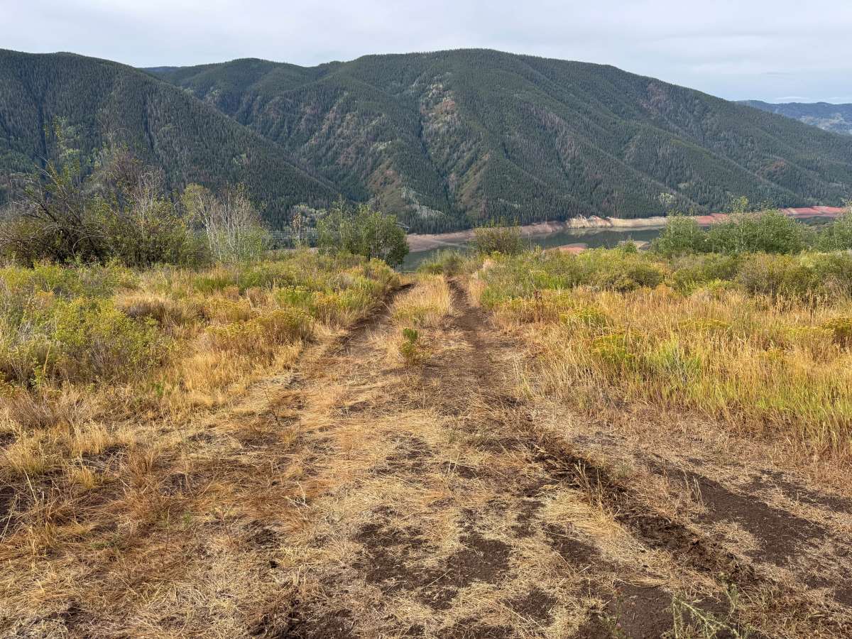
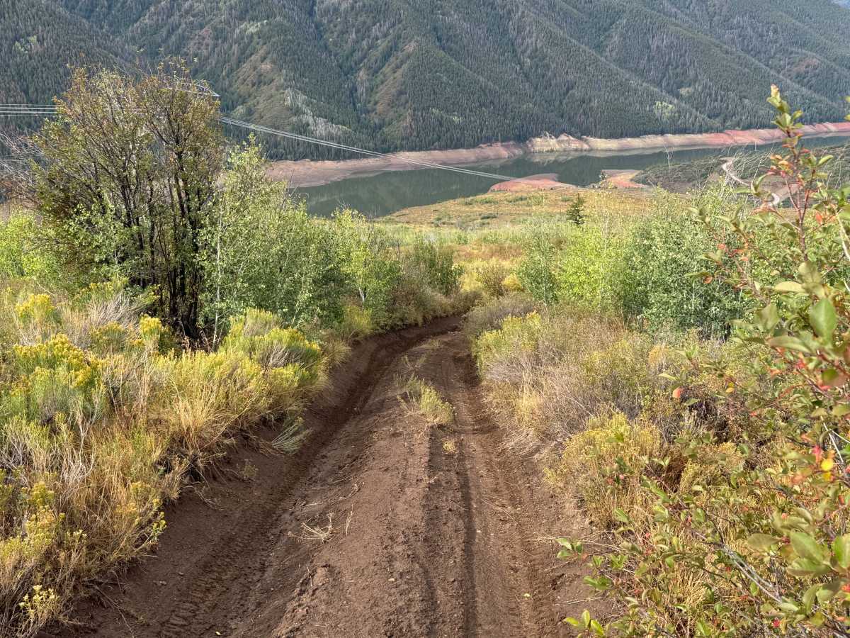
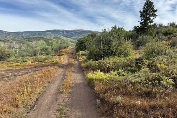
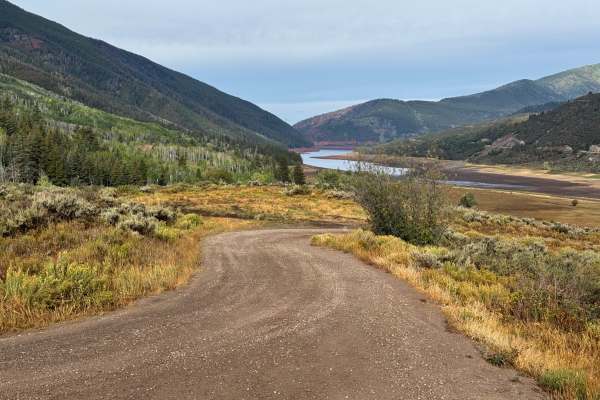
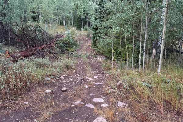
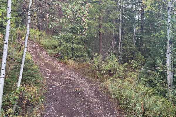
Freeman Powerline Road is a narrow dirt two-track located north of Ruedi Reservoir within the White River National Forest. The Forest Service identifies the route as Freeman Powerline (FS 536.1A), connecting with the road network near Freeman Mesa and Two by Four Creek. The route climbs through open hillsides covered primarily in sagebrush, grasses, and low brush, with scattered stands of aspen and other trees. As the route gains elevation, increasingly open terrain provides excellent views across Ruedi Reservoir and the surrounding mountains. Dispersed camping opportunities can be found along the route. The road eventually reaches a closure near the top, where there is adequate room to turn around and enjoy the surrounding views before returning the way you came. This route has yearly open dates from 05/21-11/22.
Difficulty
The route is mostly dirt with moderate to steep grades, ruts, whoops, and erosion from water runoff. High clearance and four-wheel drive with low range are recommended, particularly on the steeper sections or when conditions are wet.
History
The area surrounding Ruedi Reservoir has a history tied to early settlement, ranching, logging, transportation, and water development in the Fryingpan Valley. The Colorado Midland Railroad once traveled through the Fryingpan Valley, with communities such as Meredith and Thomasville developing along the railroad corridor. The landscape changed significantly with the construction of Ruedi Dam and Reservoir as part of the Fryingpan-Arkansas Project. Completed in the late 1960s, the reservoir became an important part of the region's water-storage system while also creating one of the area's major recreation destinations.