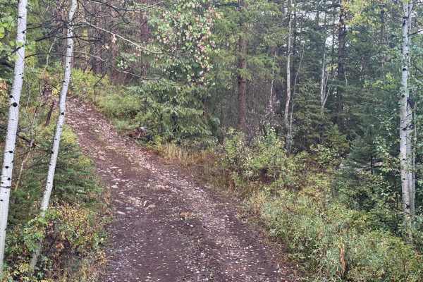
Trail Overview
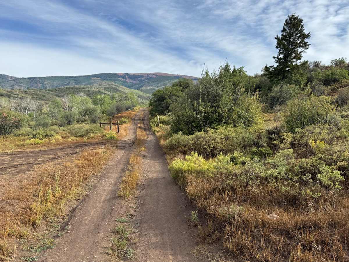
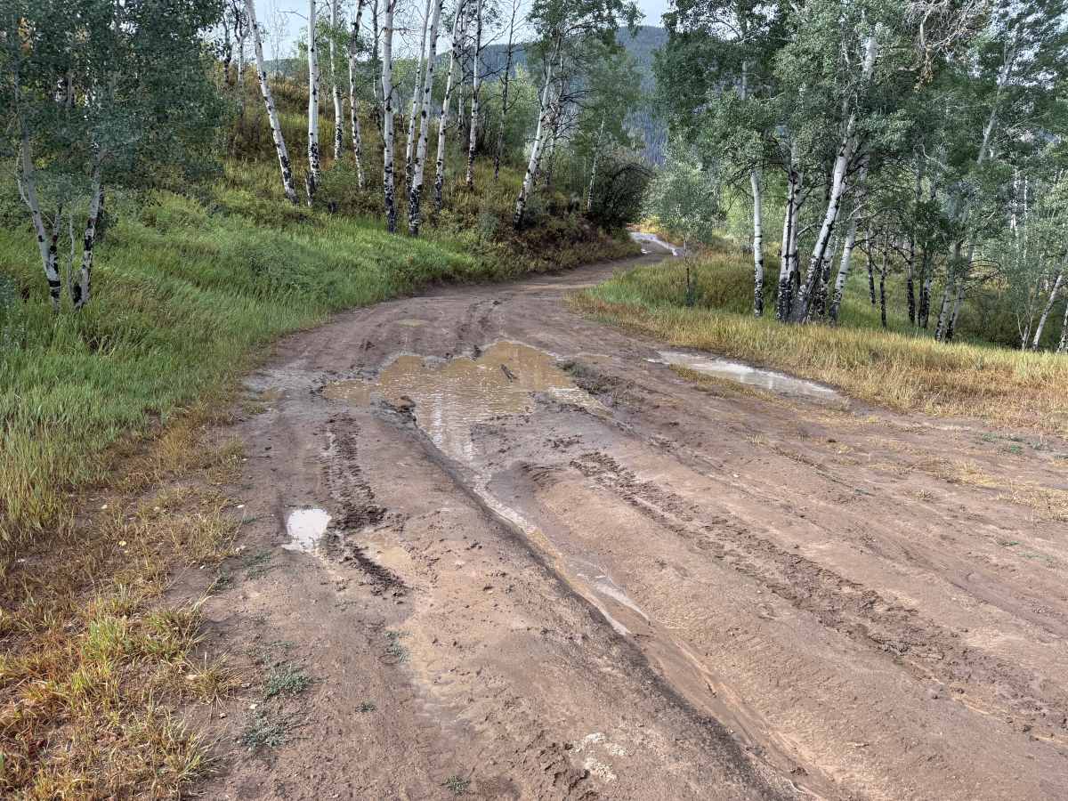
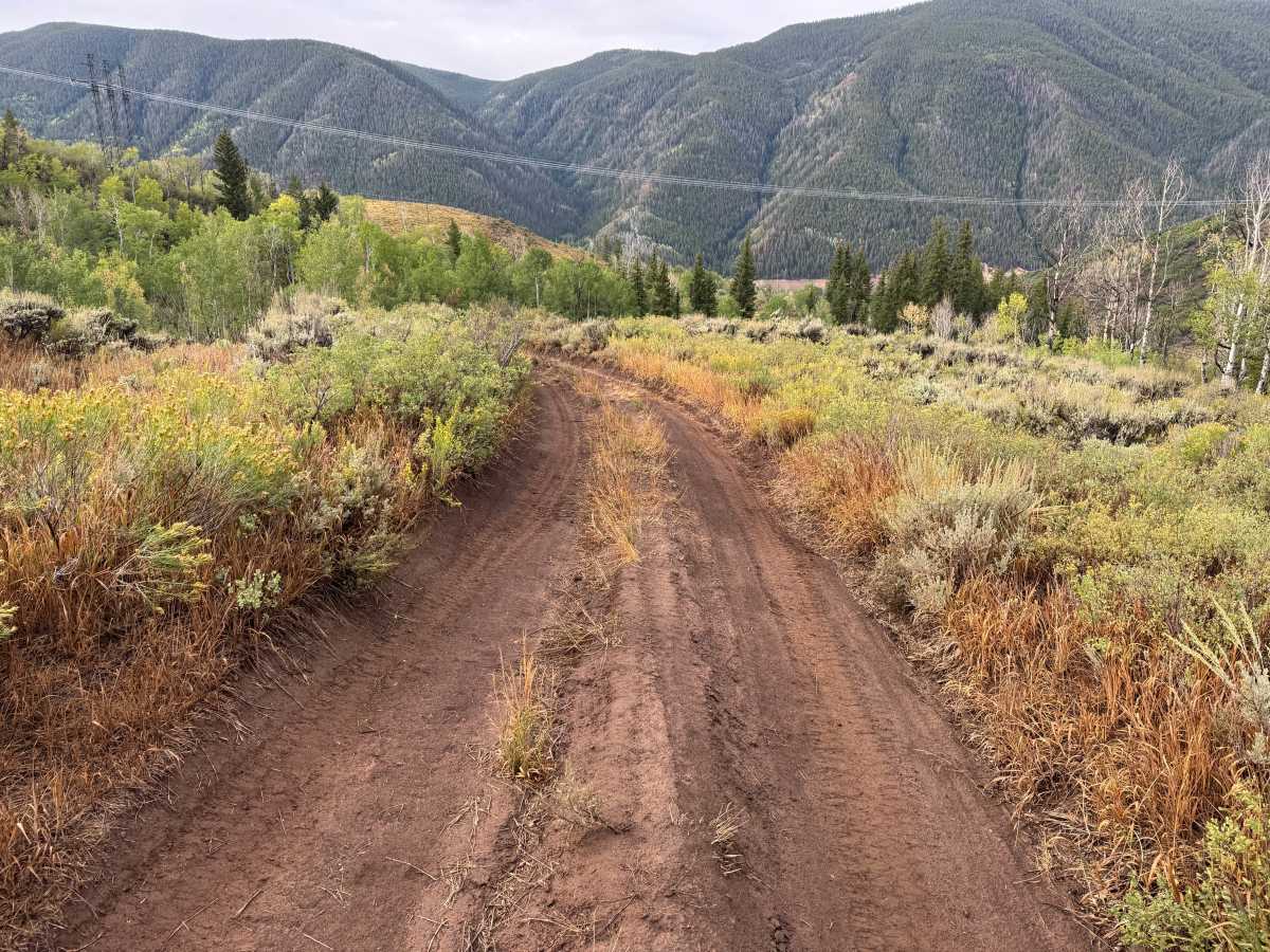
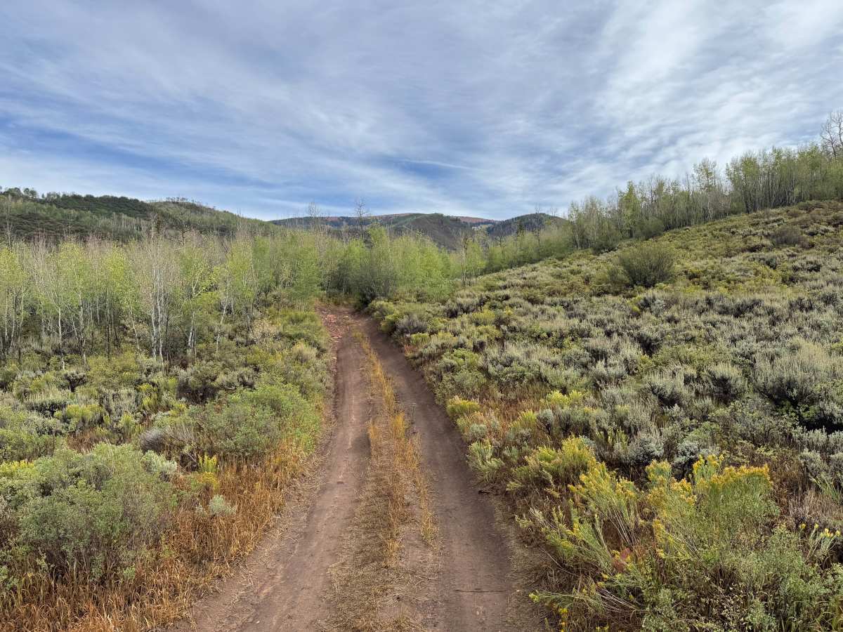
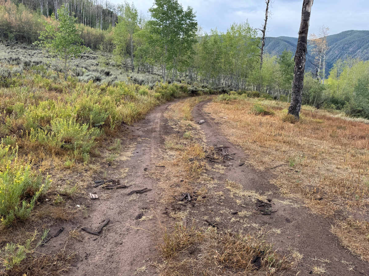
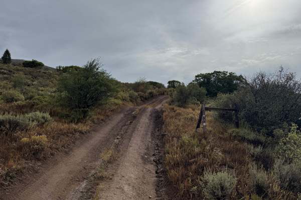
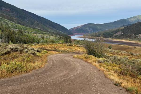
This route travels through the hills near Stockyard Gulch and Two by Four Creek, north of Ruedi Reservoir. The trail is primarily a narrow dirt two-track that winds through a mixture of open hillsides and wooded areas. Sagebrush, grasses, and low shrubs cover the more open sections, while stands of aspen and scattered conifers line other portions of the route. Several openings provide views across the surrounding mountains and forested terrain of the White River National Forest. The trail is primarily a narrow two-track with a dirt surface that varies considerably with moisture. Open sections cross hillsides covered in sagebrush, grasses, and low shrubs, while other portions travel through stands of aspen and scattered conifers. The surrounding terrain provides broad views across the heavily forested mountains of the Fryingpan River valley. This route has open dates yearly from 05/21-11/22.
Difficulty
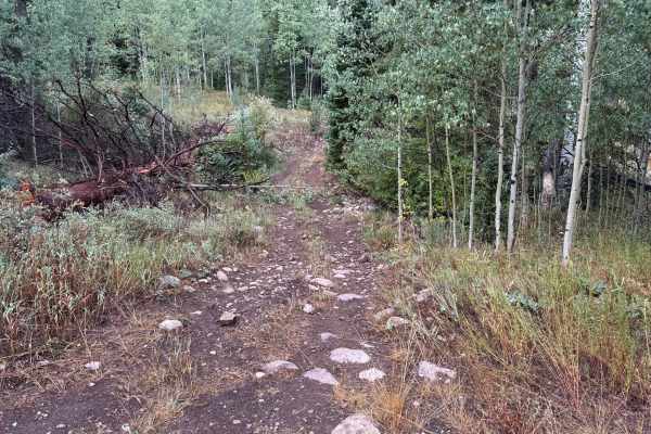
The route is mostly a narrow dirt two-track with scattered rocks, shallow ruts, and occasional muddy areas. There are no major obstacles, but wet conditions can make the trail soft and slick. Most stock high-clearance vehicles should have little difficulty in dry conditions.
History
The area surrounding Ruedi Reservoir has a history tied to early settlement, ranching, logging, transportation, and water development in the Fryingpan Valley. The Colorado Midland Railroad once traveled through the Fryingpan Valley, with communities such as Meredith and Thomasville developing along the railroad corridor. The landscape changed significantly with the construction of Ruedi Dam and Reservoir as part of the Fryingpan-Arkansas Project. Completed in the late 1960s, the reservoir became an important part of the region's water-storage system while also creating one of the area's major recreation destinations.