Trail Overview
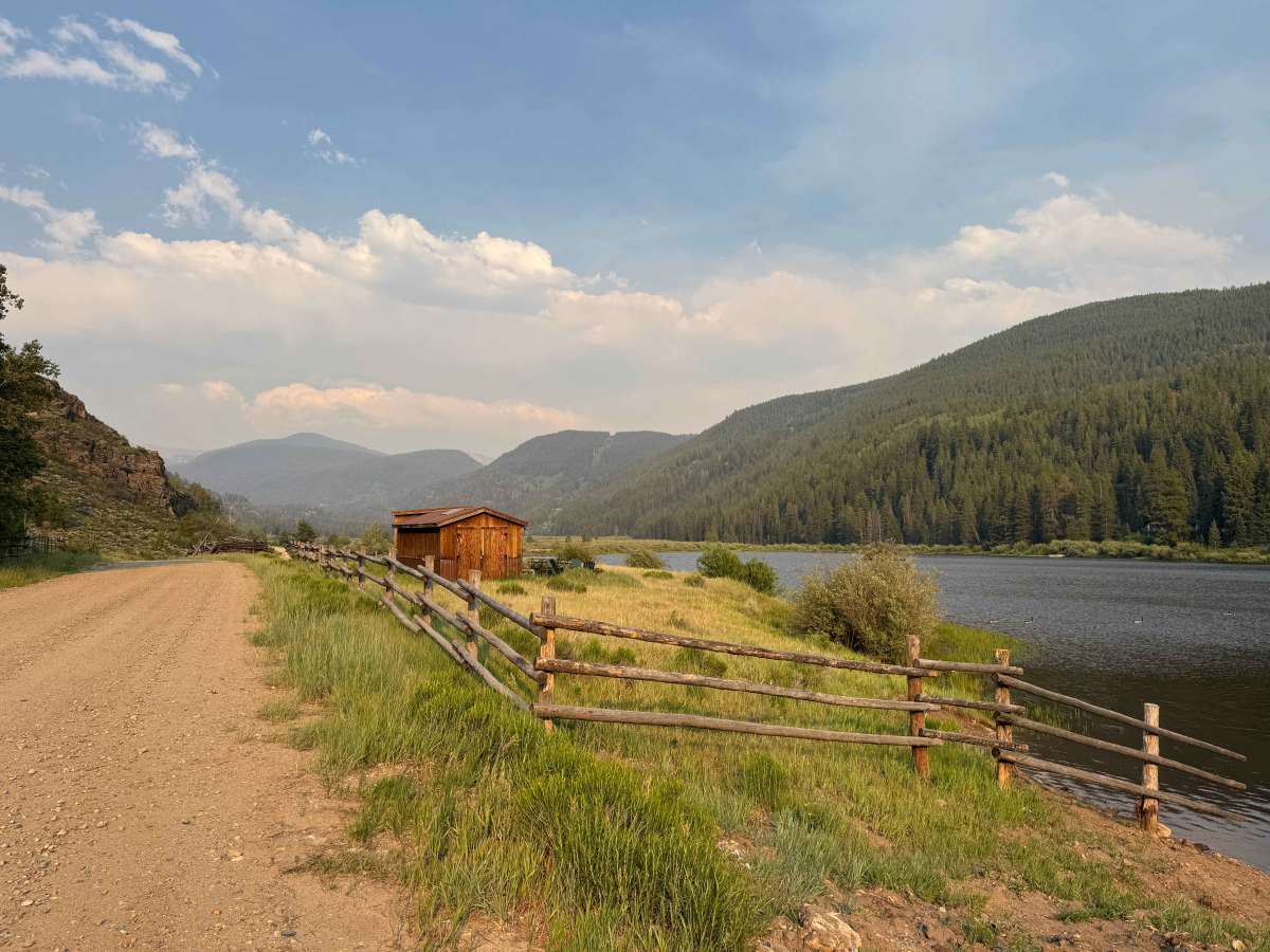
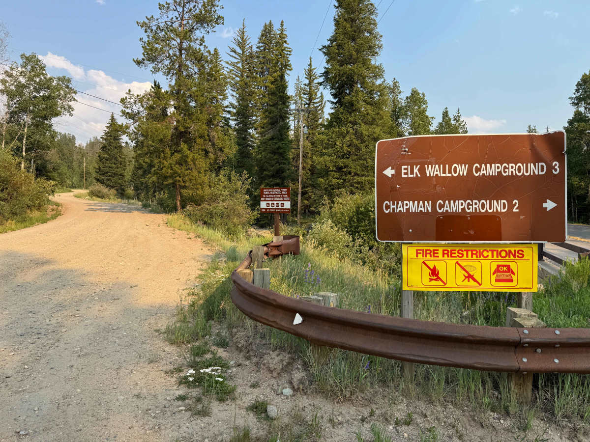
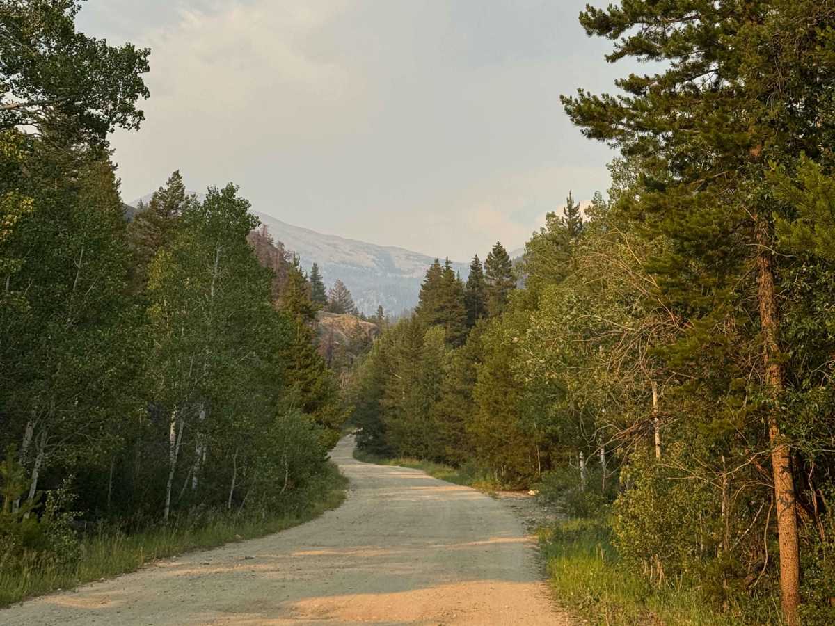
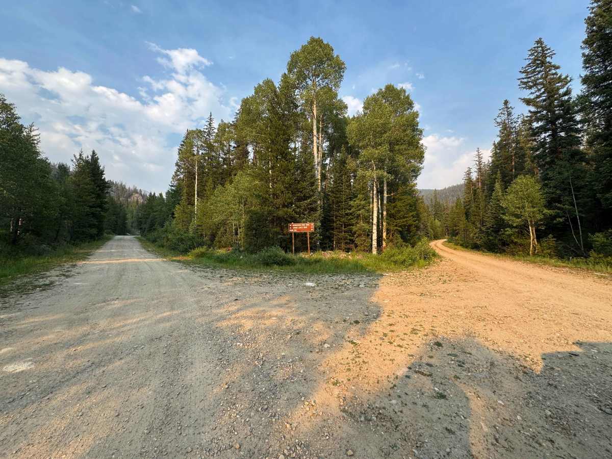
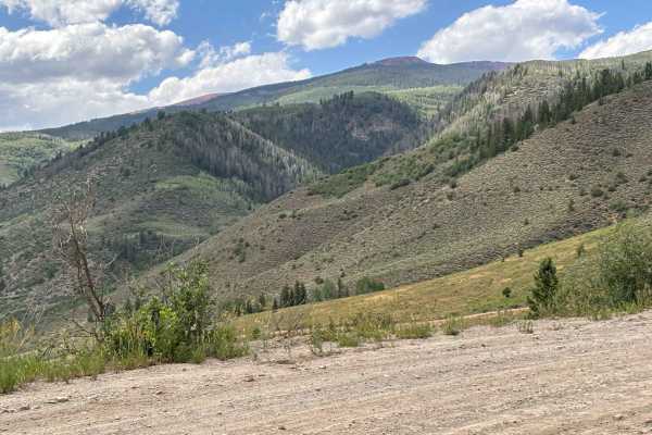
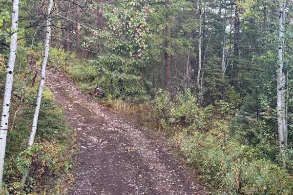
This route begins off Fryingpan Road and gradually follows the creek of the same name into a beautiful high-mountain valley. The first section is a well-maintained, gravel-like road that is easily passable by most vehicles and leads to Elk Wallow Campground. Beyond the campground, the road begins climbing into the valley and becomes rougher, although many passenger vehicles still make it to the nearby hiking trailhead. Past the Savage Lake Trailhead, the route deteriorates further, with larger rocks, ruts, and reduced clearance making a high-clearance vehicle strongly recommended. The trail eventually ends at a short fork with routes to both the right and left, near an old mine site and a small flood-control structure. While there are a few existing campsites and fire rings along the route, current maps do not indicate that dispersed camping is permitted in this area. However, if you backtrack to the intersection with FS 538, you’ll find a dispersed campsite within the first quarter mile of that road.
Difficulty
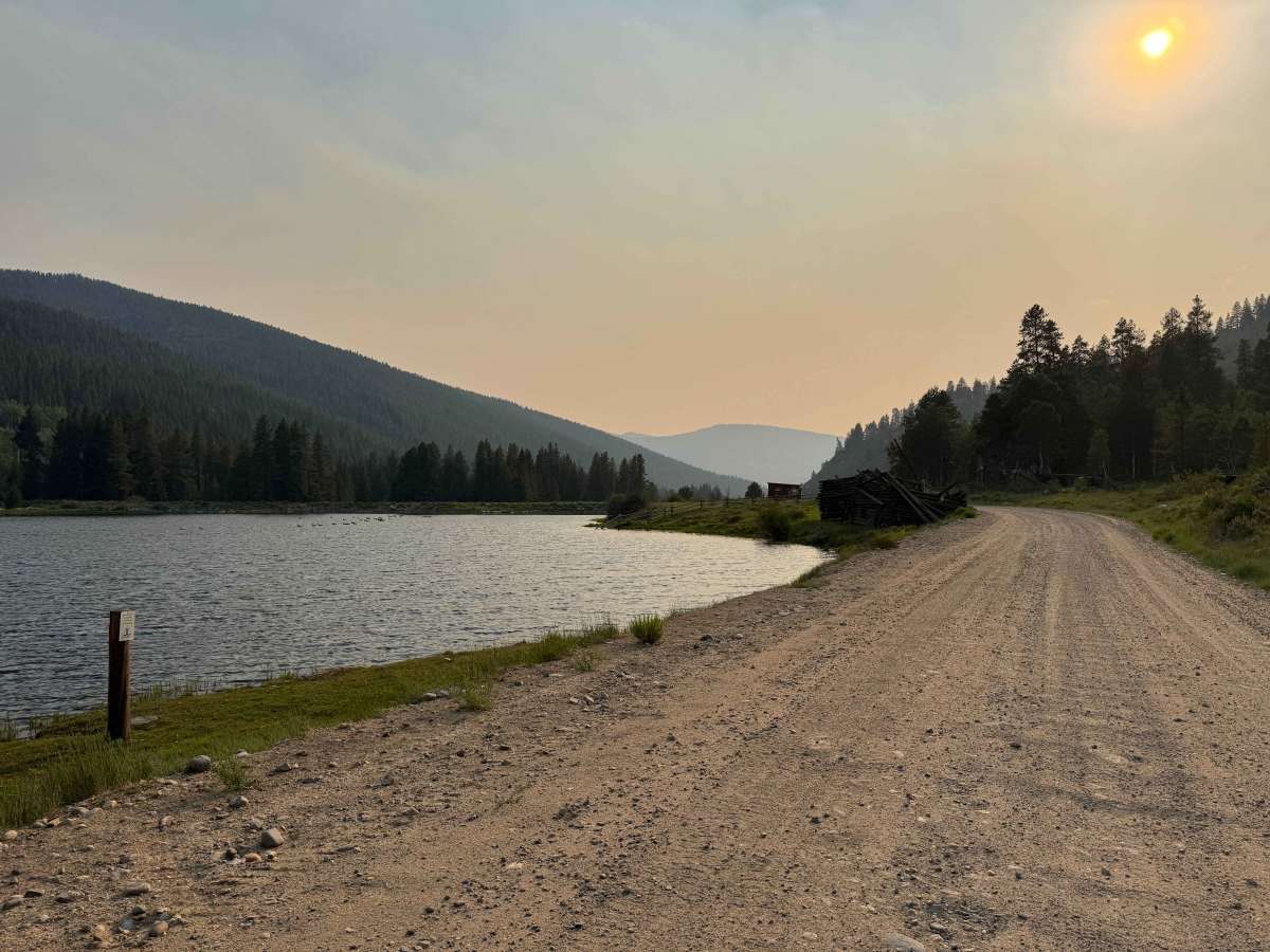
In dry conditions, this route is not particularly difficult, and most passenger vehicles can comfortably reach the Savage Lake Trailhead. Beyond that point, the road becomes rougher, with increased rocks and ruts, making a high-clearance vehicle strongly recommended.