Trail Overview
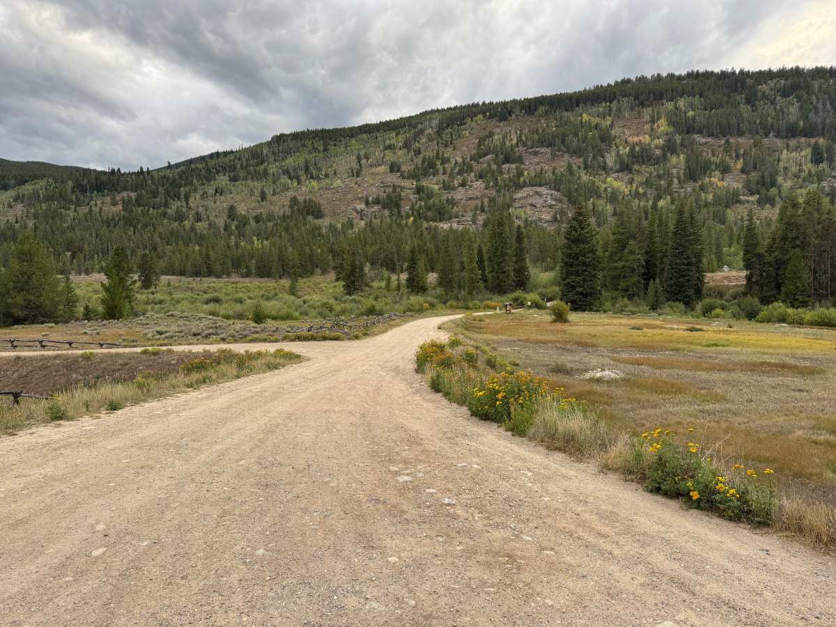
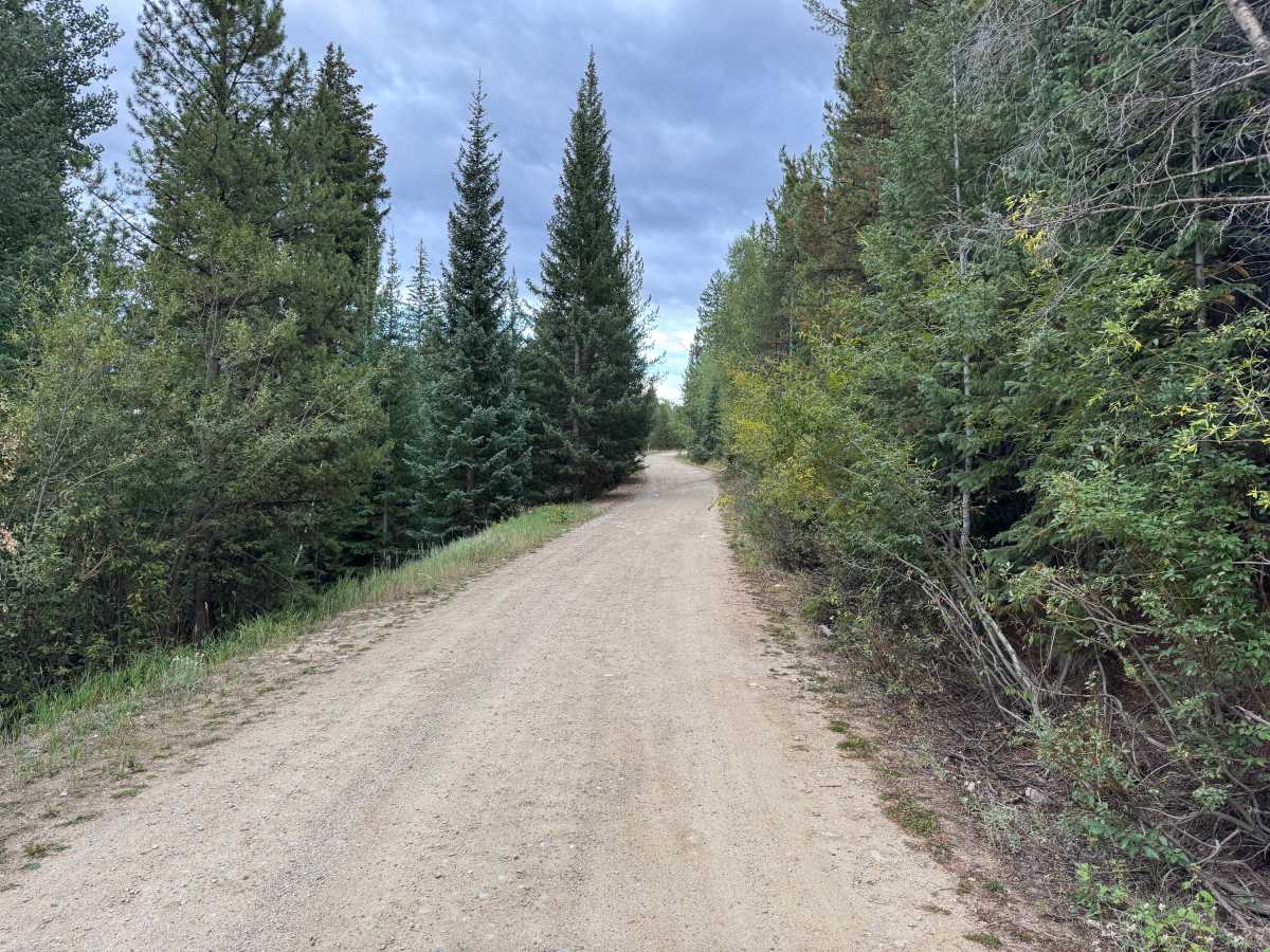
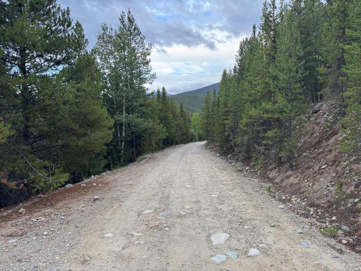
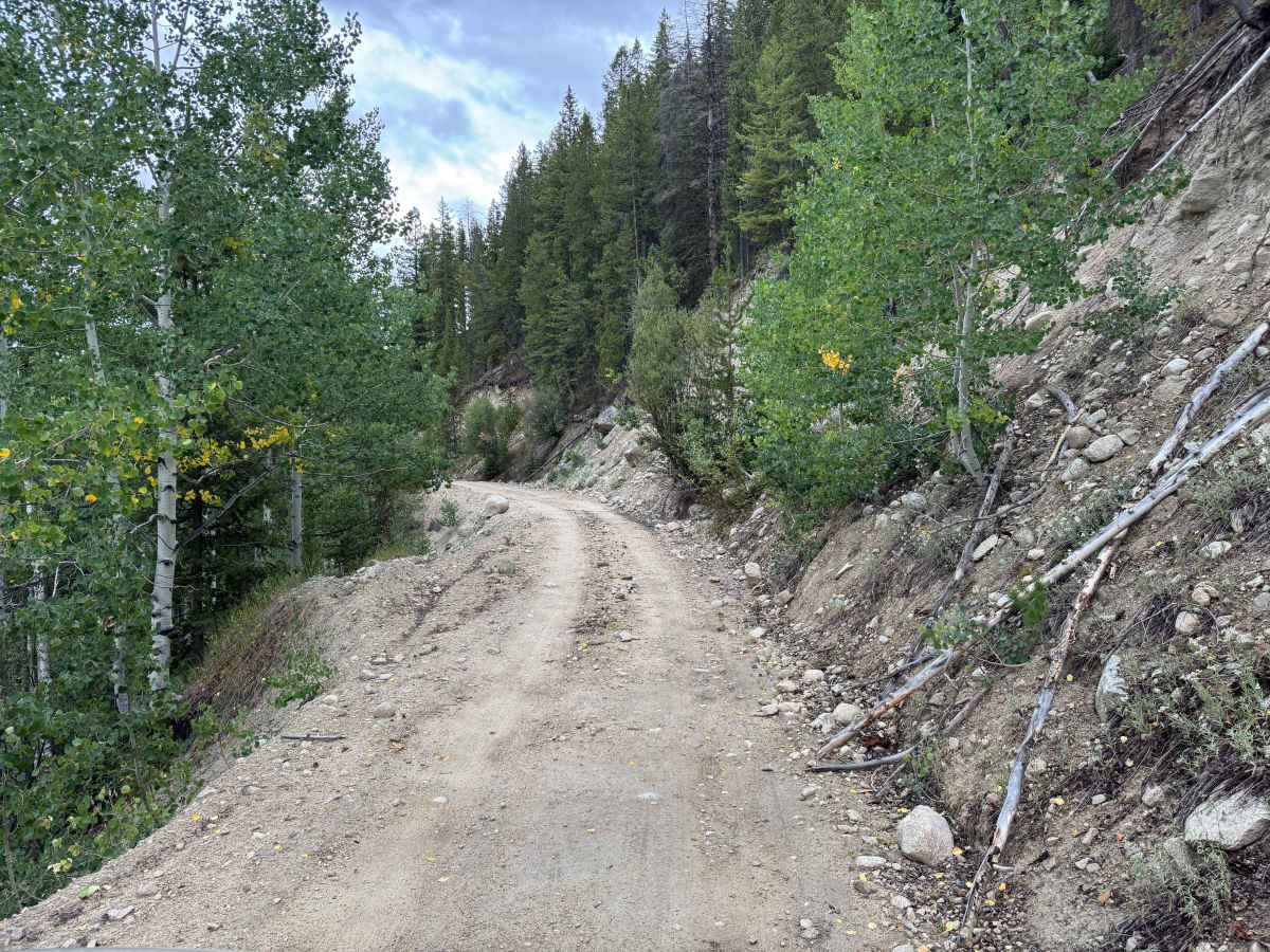
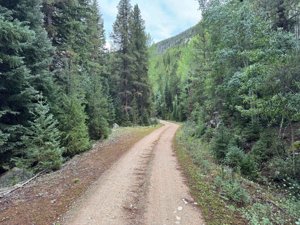
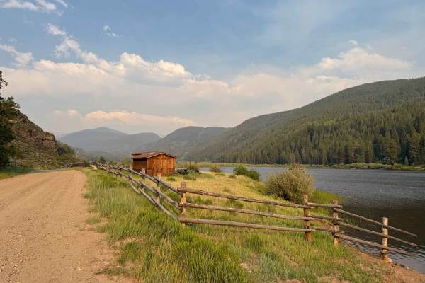
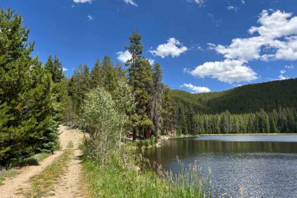
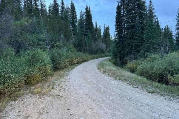
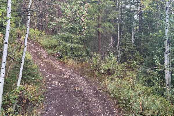
This route follows South Fork Fryingpan Road through the mountains south of Norrie and continues toward South Fork Pass. The route is primarily a wide, maintained dirt and gravel road with a mostly smooth surface and scattered embedded and loose rock. It travels through dense stands of evergreen and aspen, with sections opening into meadows and views of the surrounding mountains. Several dispersed camping sites can be found along the route, providing opportunities to camp within the forest and surrounding mountain terrain. As the route climbs, the road becomes somewhat narrower with occasional rocky sections and exposed hillsides, but there are no major obstacles. Most sections provide enough width for vehicles to pass, although a few areas narrow closer to single-vehicle width. Grades are generally gradual, and the route should be manageable for most vehicles in dry conditions. Rain can make the dirt surface slick and may increase erosion or expose additional rock.
Difficulty
The route is primarily maintained dirt and gravel with scattered loose and embedded rock. Grades are gradual with no major obstacles or technical sections, though wet conditions may make the surface slick.
History
The upper Fryingpan Valley has a history tied to early transportation, logging, railroad activity, recreation, and water development. Norrie was once a Colorado Midland Railroad camp and supported a large timber and sawmill operation, with local timber used in railroad construction. The broader area later became an important part of the Fryingpan-Arkansas Project, with an extensive system of diversion structures, conduits, and tunnels carrying water beneath the mountains and across the Continental Divide. Several of these water-development features remain scattered throughout the surrounding mountains today.

 Offroad