Diemer Lake Loop

Total Miles4
Technical Rating
4Moderate
Best TimeSpring, Summer, Fall
Trail TypeFull-Width Road
Accessible By
Open Trail Map

Trail Overview

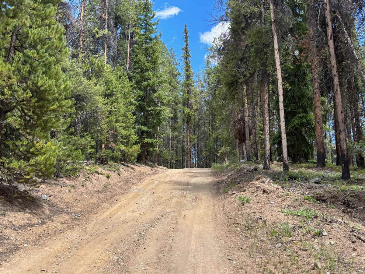
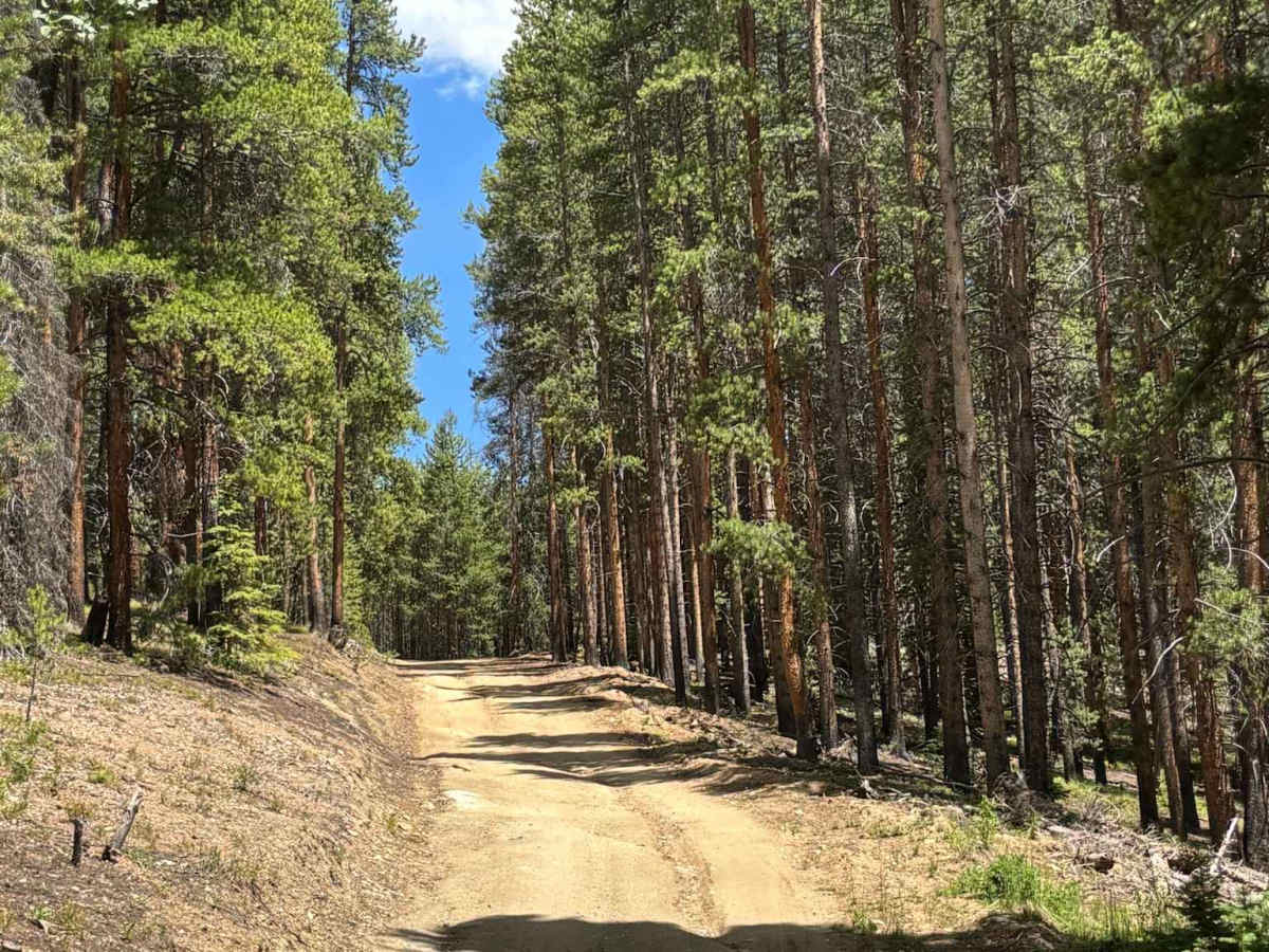
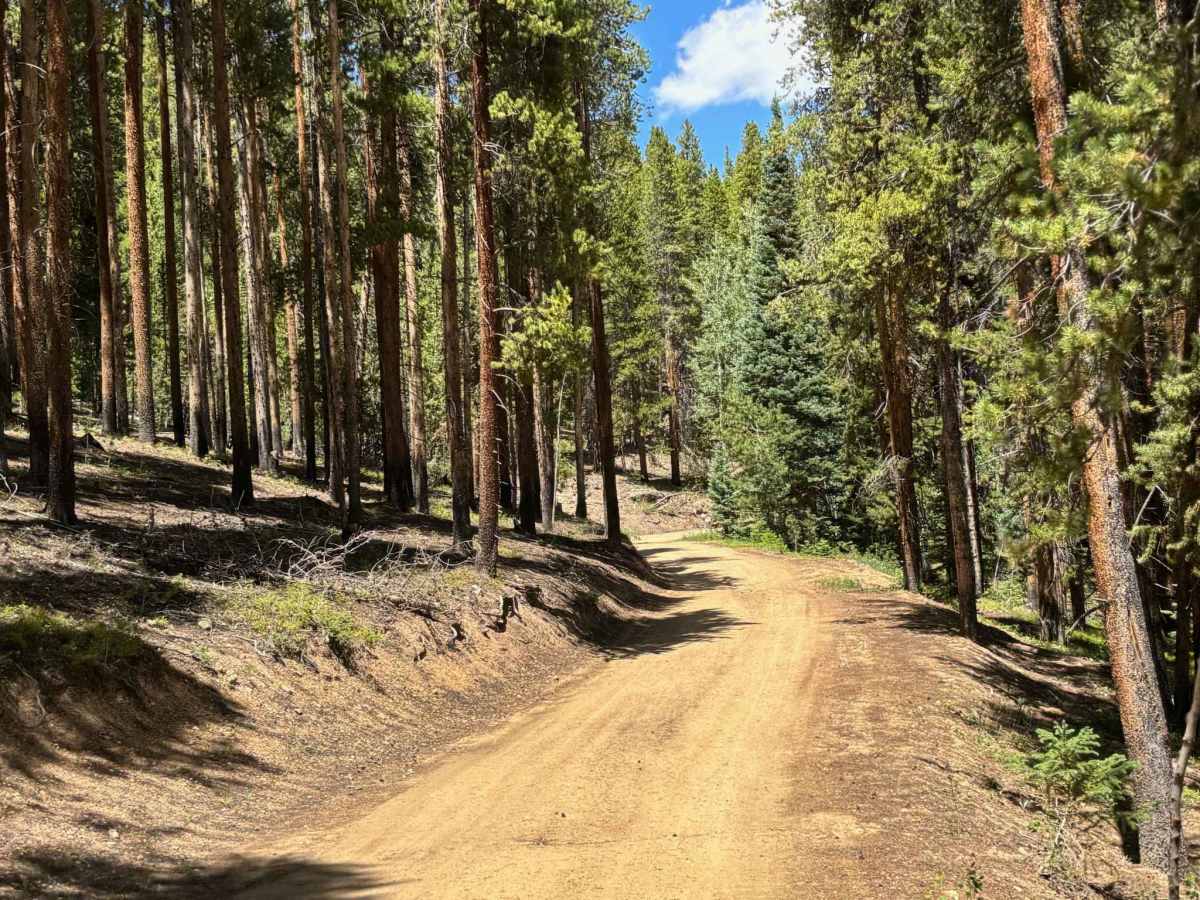
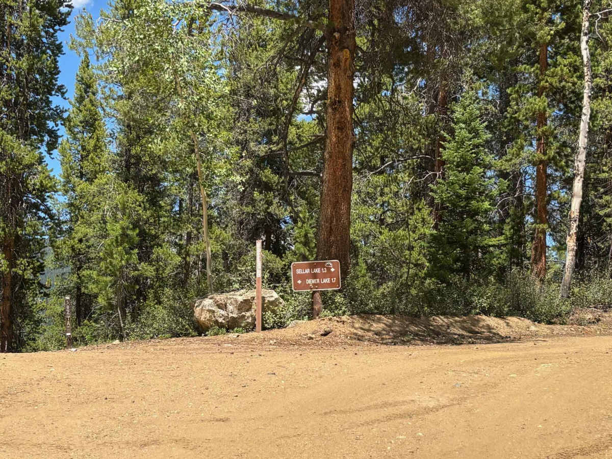
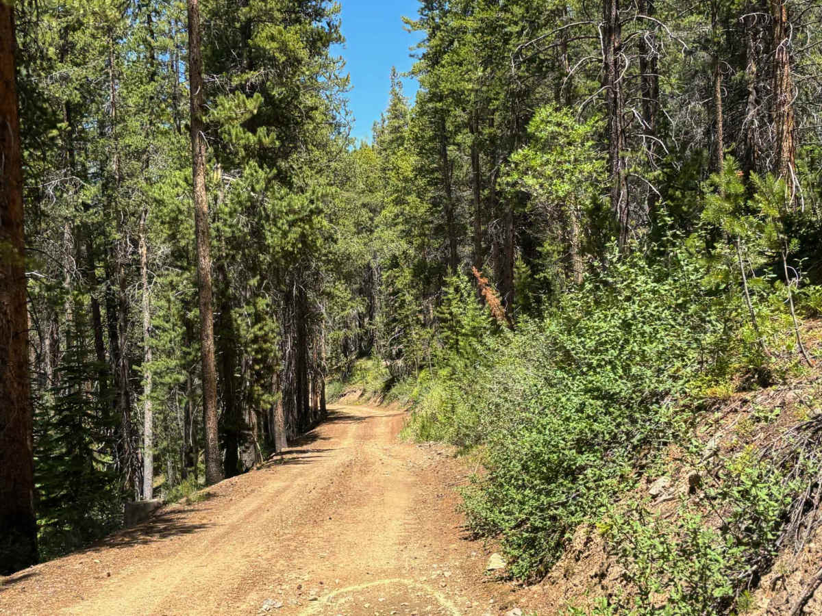
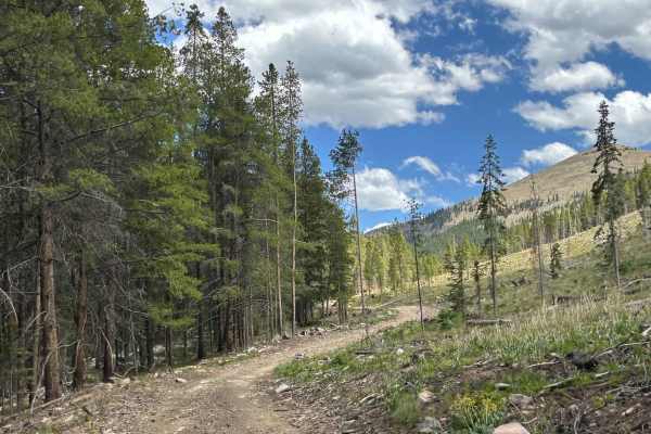
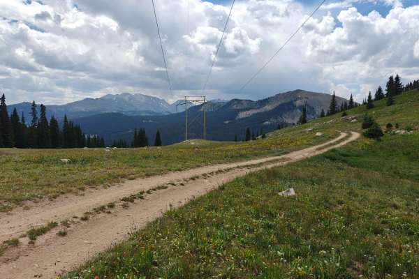
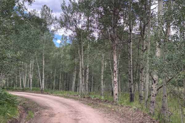
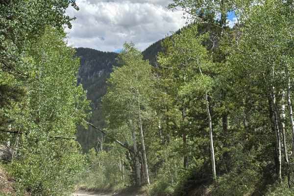
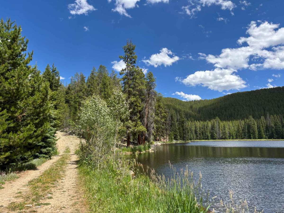
This trail descends to the secluded Diemer Lake before climbing back out along a rocky and often overgrown powerline road. The first half of the route follows an easy dirt road that is accessible to most high-clearance vehicles, but the second half becomes considerably more challenging. Expect steep climbs, numerous baby-head rocks, and tight, brushy sections that can cause pinstriping on full-size vehicles. Drivers of wider vehicles should use caution, as vegetation frequently encroaches on the trail corridor. Despite the added difficulty, the route provides excellent access to the lake and rewards travelers with beautiful views of the surrounding peaks and mountain landscape.

Photos of Diemer Lake Loop

Difficulty

The first half of the loop is closer to a 1 or 2

Technical Rating

4

Diemer Lake Loop Trail can be accessed by the following ride types:

  • Single Track
  • 50 Inch
  • 60 Inch
  • High Clearance
  • Full Width

Diemer Lake Loop Map

The onX Offroad Difference

onX Offroad combines trail photos, descriptions, difficulty ratings, width restrictions, seasonality, and more in a user-friendly interface. Available on all devices, with offline access and full compatibility with CarPlay and Android Auto. Discover what you're missing today!

Open Trail Map