Frying Pan Road - Ivanhoe Creek

Total Miles10.6
Technical Rating
1Easy
Best TimeSpring, Summer, Fall
Trail TypeFull-Width Road
Accessible By
Open Trail Map

Trail Overview

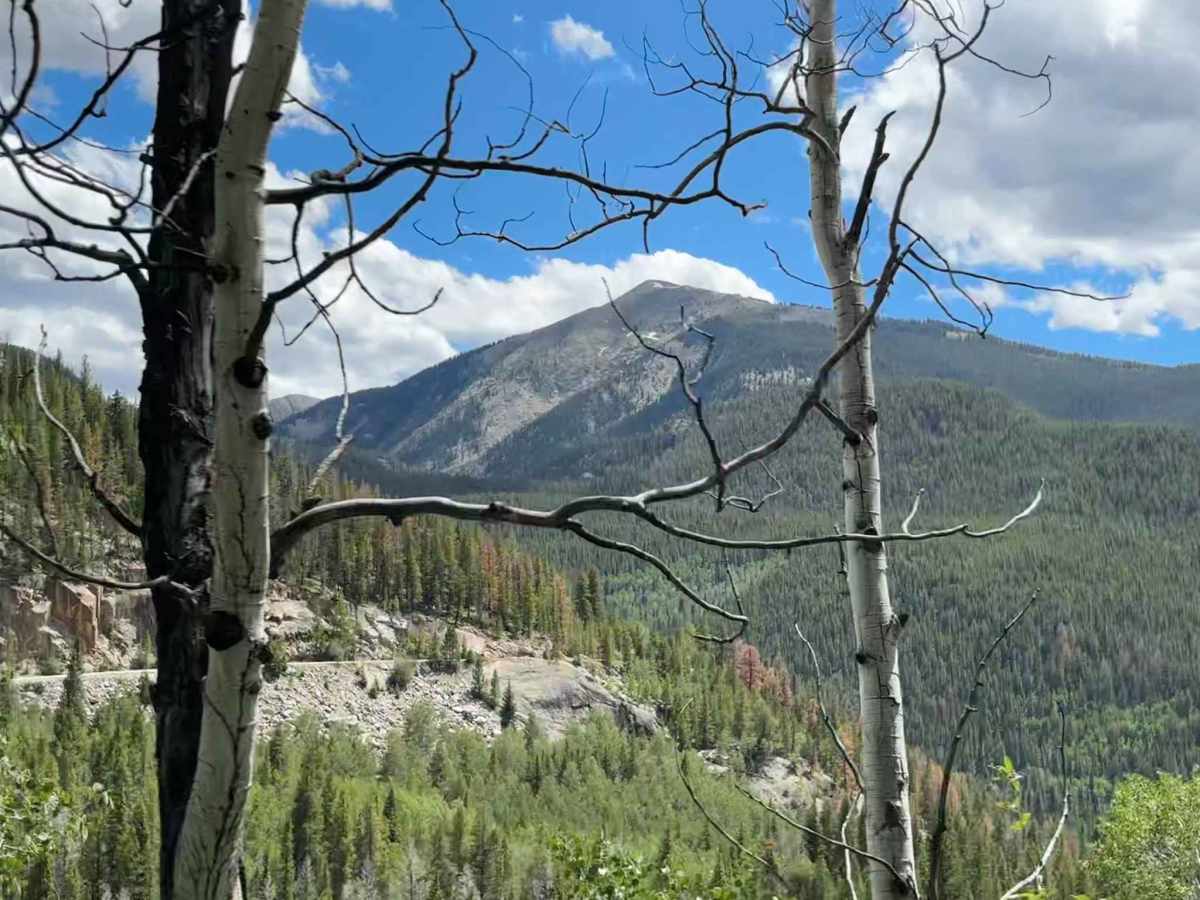
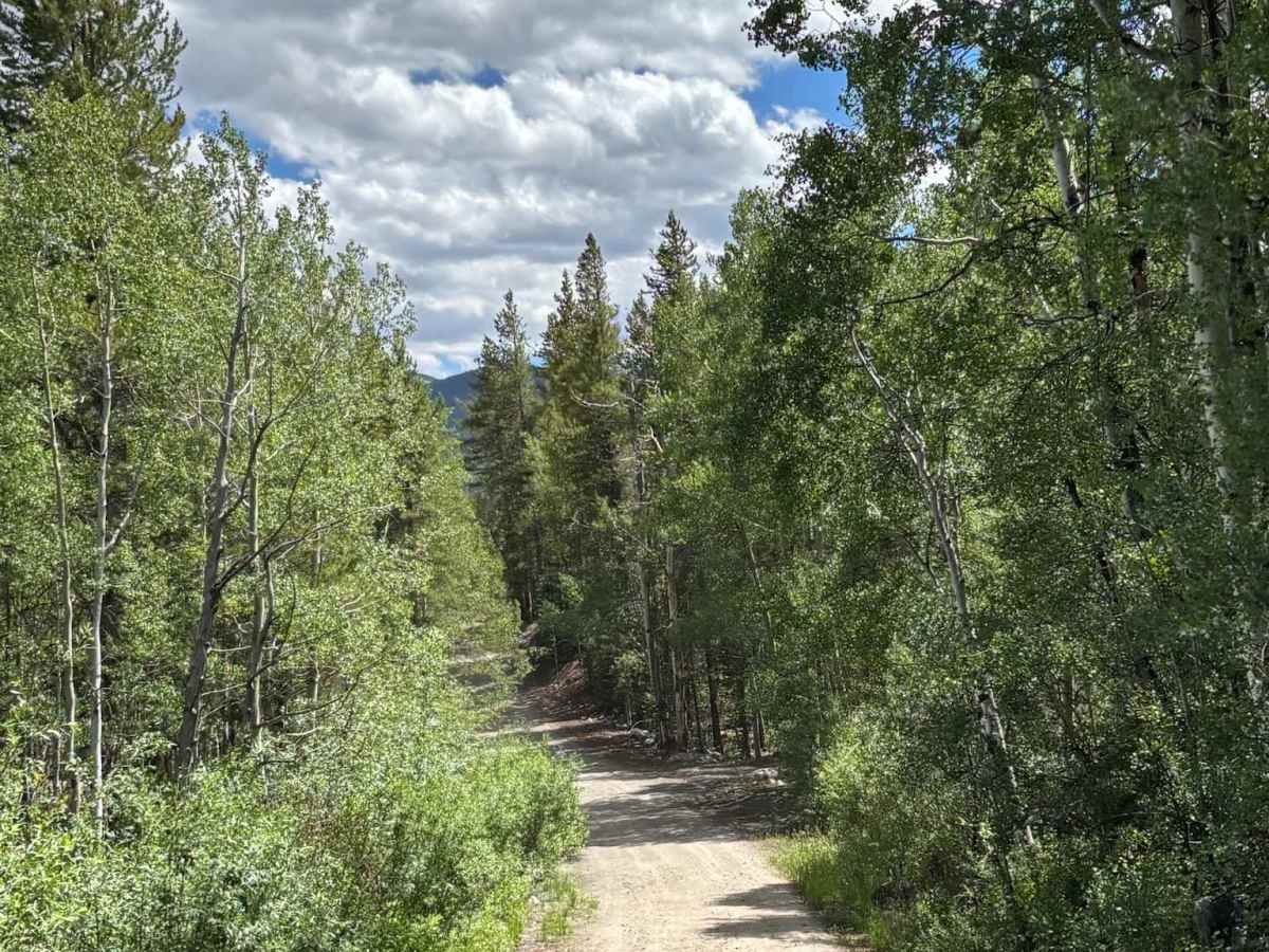
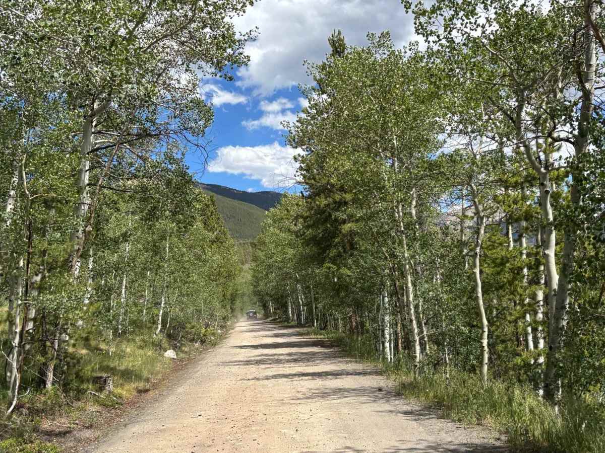
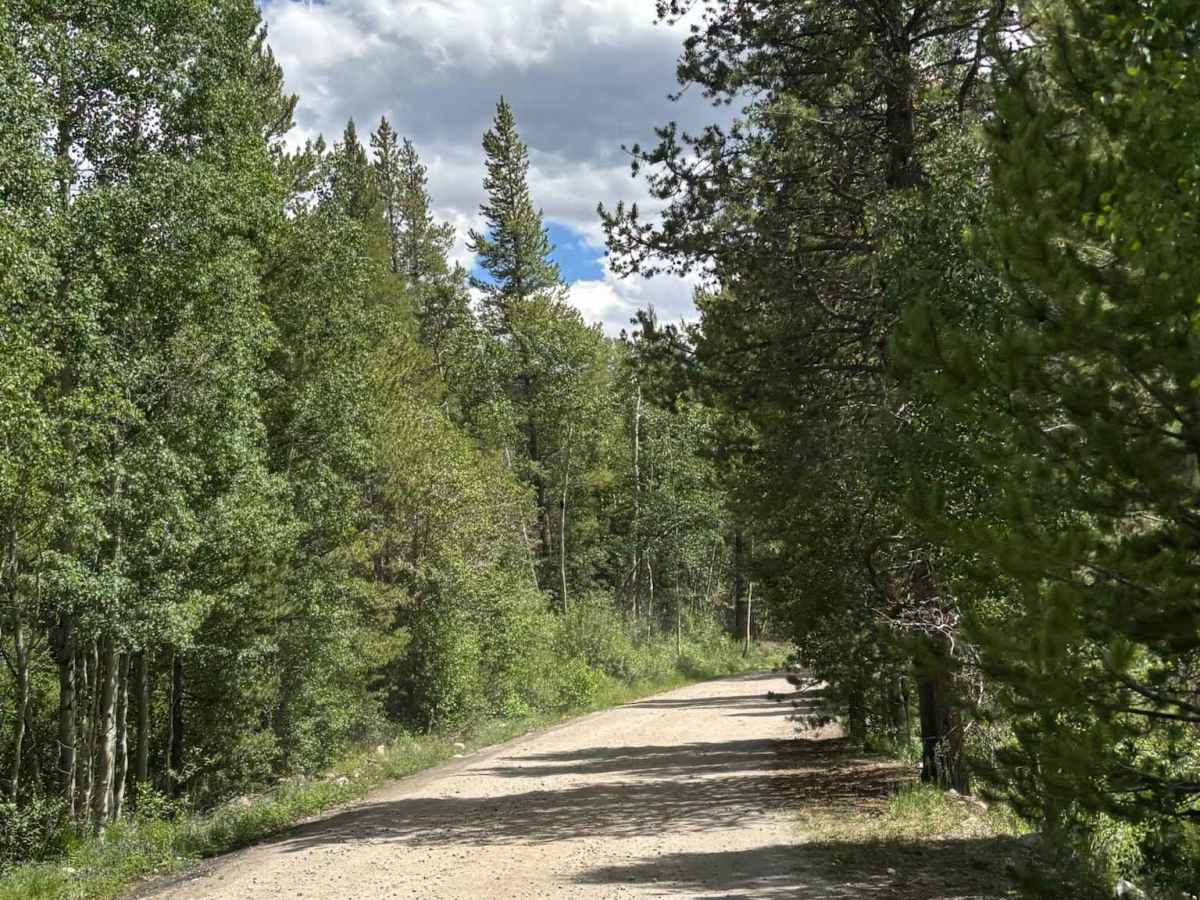
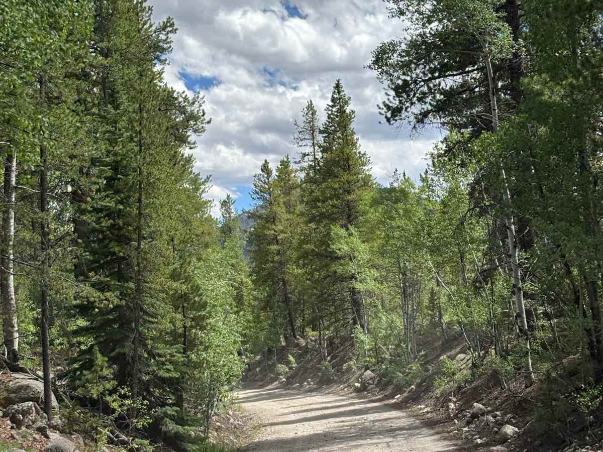
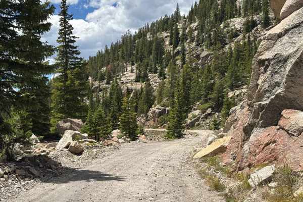
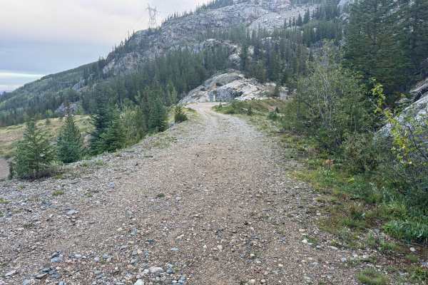
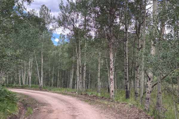
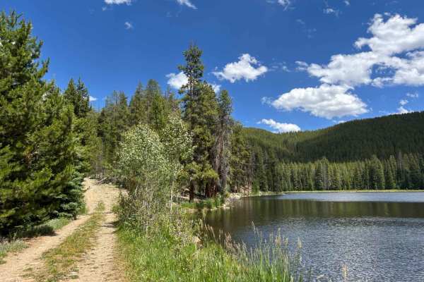
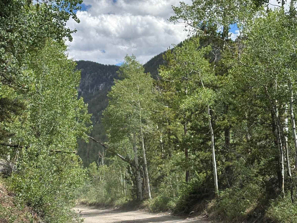
This route connects the Hell Gap section of Fryingpan Road with the lower portion of the route before it transitions to pavement. The road travels through dense forests and expansive aspen groves, offering beautiful scenery throughout the drive and especially vibrant colors during the fall. Several side roads and trails branch off along the way, providing access to additional routes within the surrounding trail network. The route also features impressive views of the rugged peaks and wilderness areas of the Hunter-Fryingpan Wilderness, making it a scenic connector through this popular recreation area.

Photos of Frying Pan Road - Ivanhoe Creek

Difficulty

Simple dirt road

Technical Rating

1

Frying Pan Road - Ivanhoe Creek Trail can be accessed by the following ride types:

  • High Clearance
  • Full Width

Frying Pan Road - Ivanhoe Creek Map

The onX Offroad Difference

onX Offroad combines trail photos, descriptions, difficulty ratings, width restrictions, seasonality, and more in a user-friendly interface. Available on all devices, with offline access and full compatibility with CarPlay and Android Auto. Discover what you're missing today!

Open Trail Map