Frying Pan Road - Hell Gap

Total Miles10.6
Technical Rating
2Easy
Best TimeSpring, Summer, Fall
Trail TypeFull-Width Road
Accessible By
Open Trail Map

Trail Overview

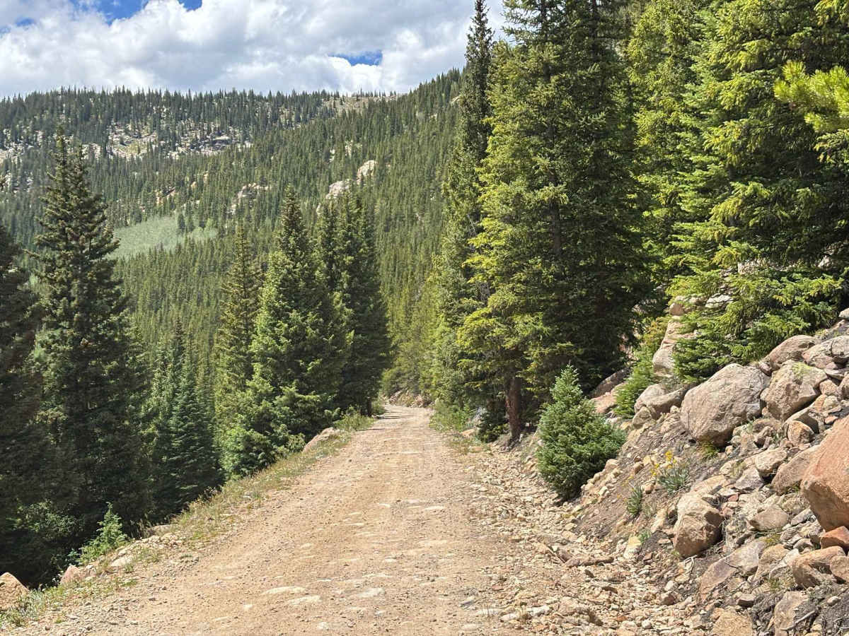
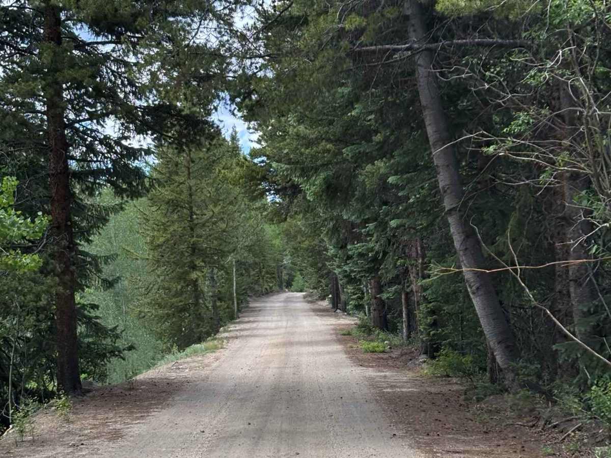
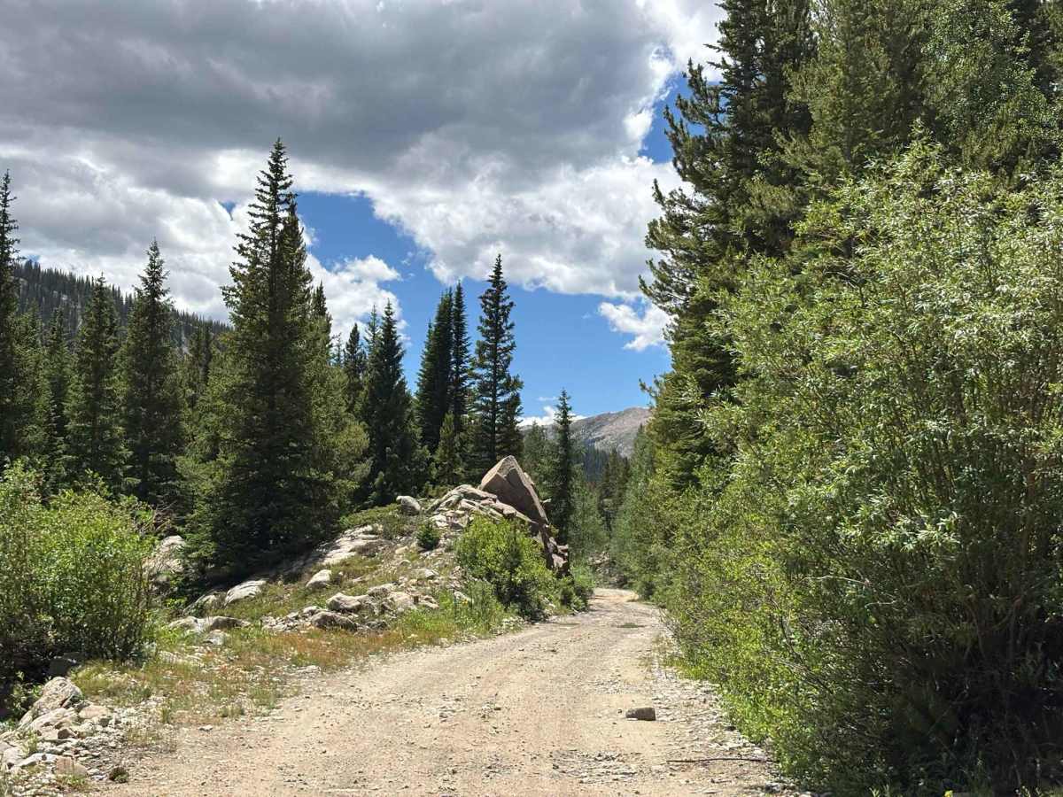
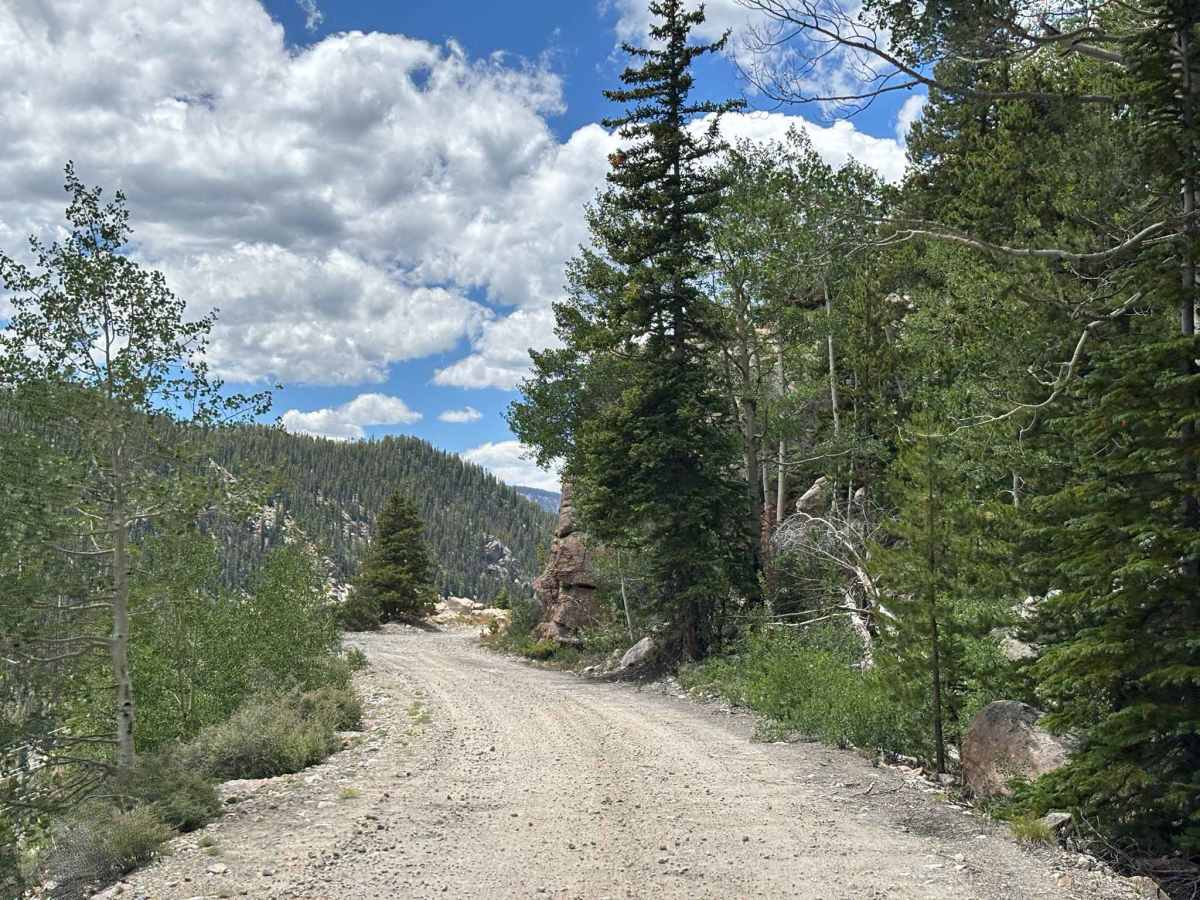
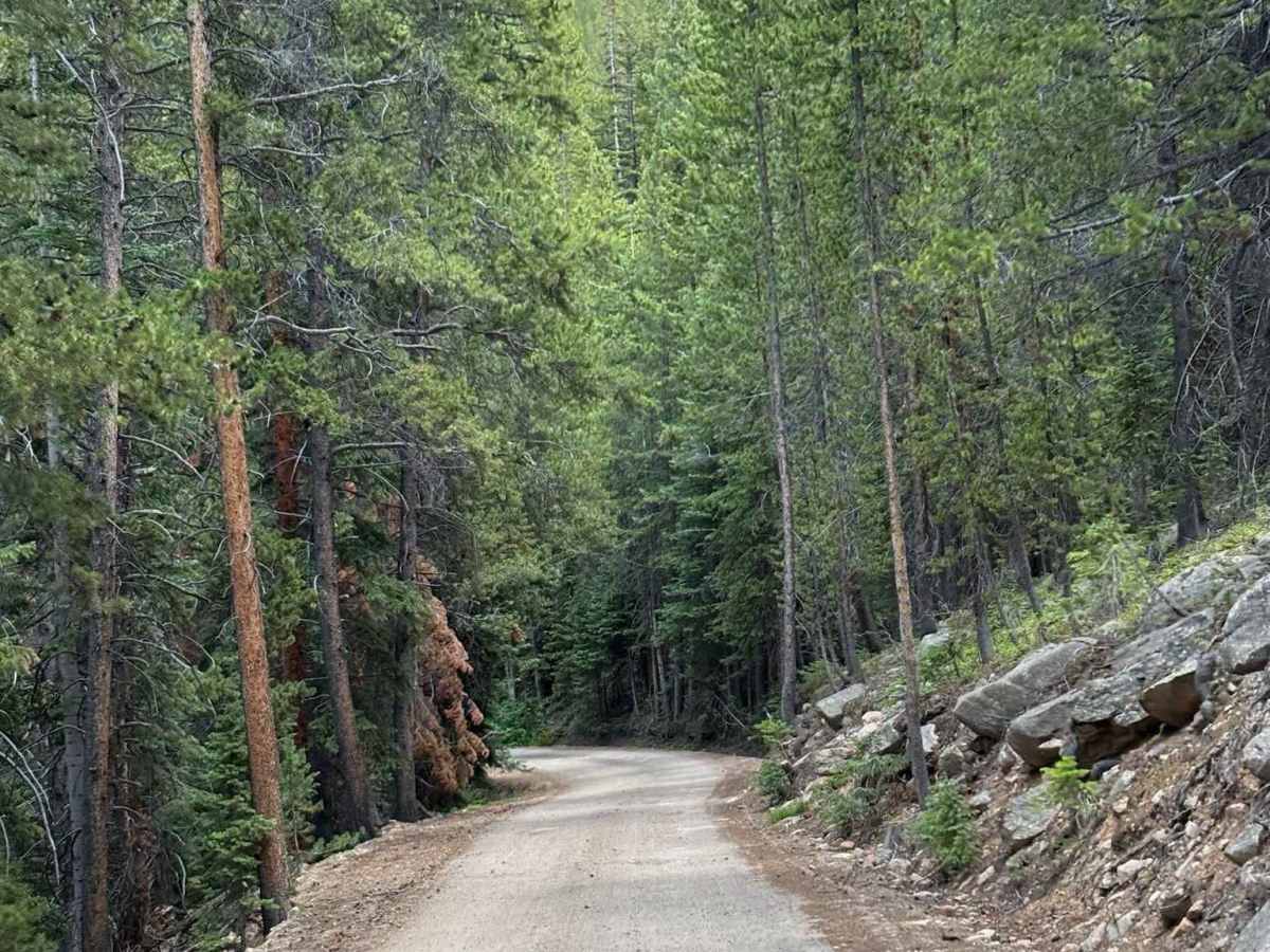
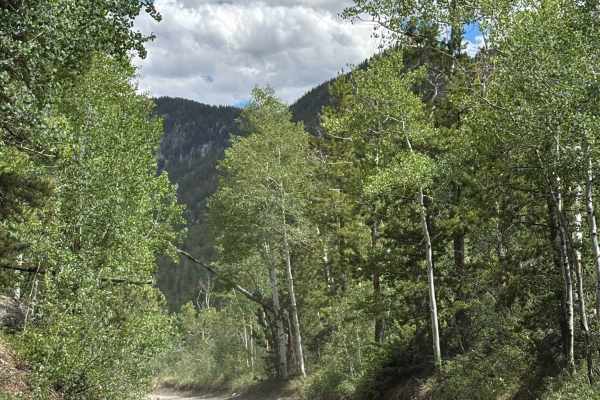
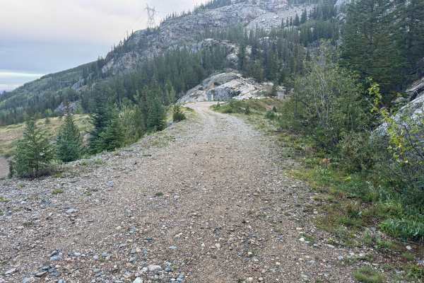
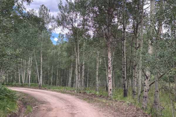
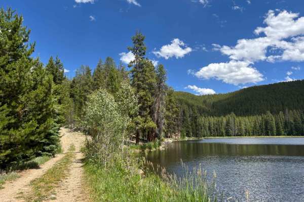
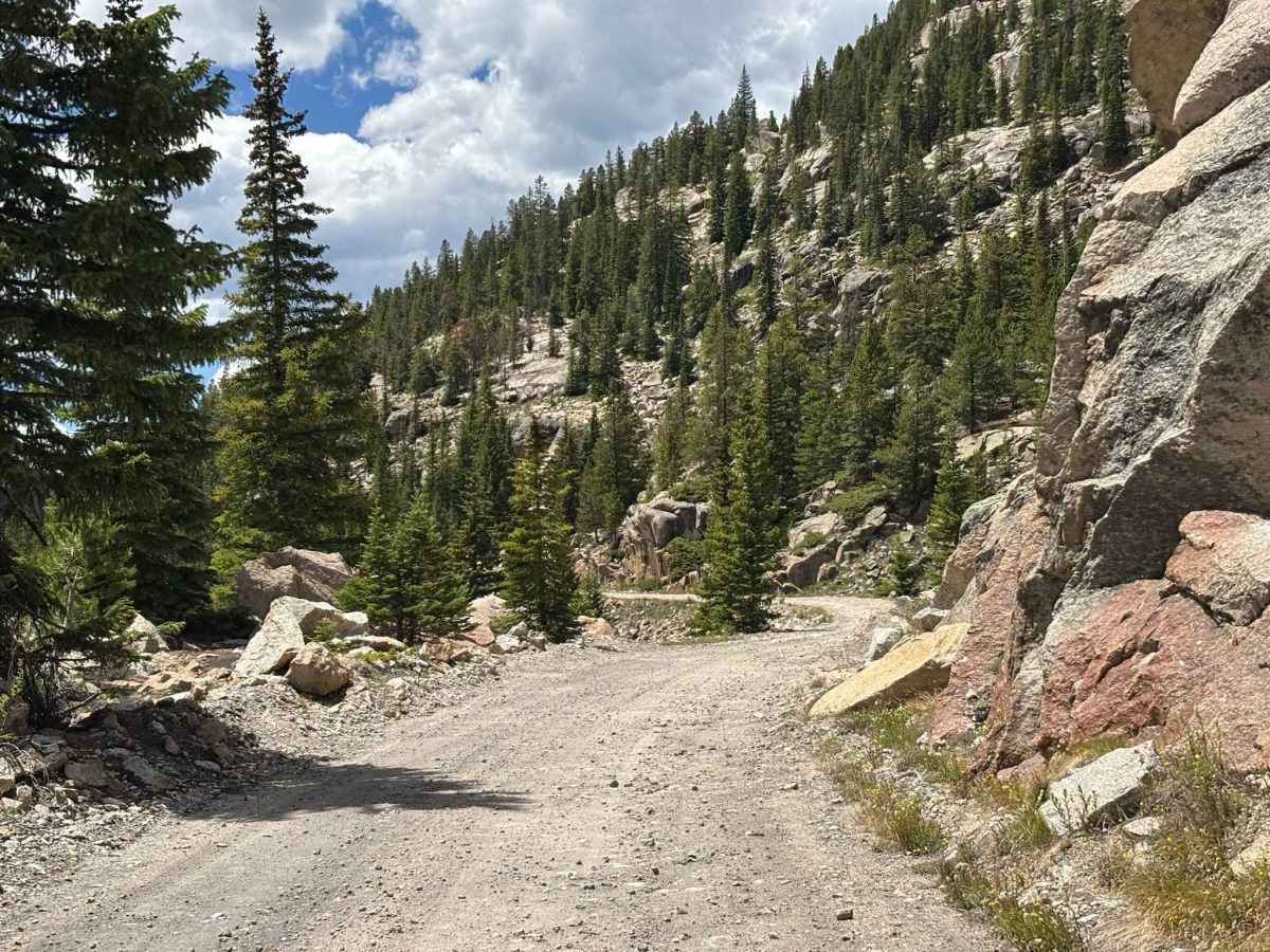
This trail continues from the western descent of Hagerman Pass and follows the mountainside through the dramatic Hell Gap area. The road is generally easy to travel, but it traverses steep terrain with significant exposure in places, making it less suitable for those uncomfortable with heights. Throughout the route, travelers are treated to outstanding views of the rugged peaks, deep valleys, and expansive landscapes of the Hunter-Fryingpan Wilderness. A highly scenic drive that offers some of the best mountain vistas in the region while serving as an important connector within the Fryingpan trail system.

Photos of Frying Pan Road - Hell Gap

Difficulty

A bit rocky, but mostly just a dirt road with a large drop-off on the side

Technical Rating

2

Frying Pan Road - Hell Gap Trail can be accessed by the following ride types:

  • Single Track
  • 50 Inch
  • 60 Inch
  • High Clearance
  • Full Width

Frying Pan Road - Hell Gap Map

The onX Offroad Difference

onX Offroad combines trail photos, descriptions, difficulty ratings, width restrictions, seasonality, and more in a user-friendly interface. Available on all devices, with offline access and full compatibility with CarPlay and Android Auto. Discover what you're missing today!

Open Trail Map