Trail Overview
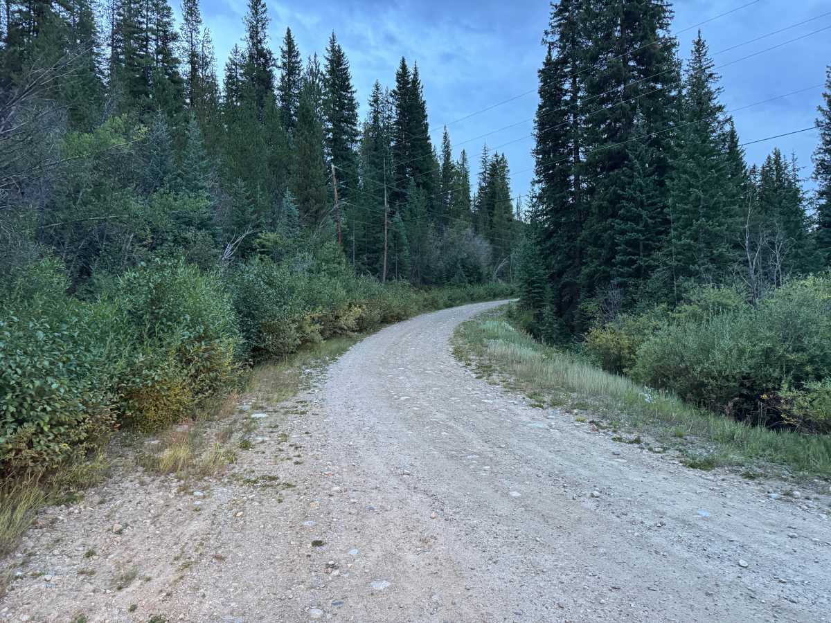
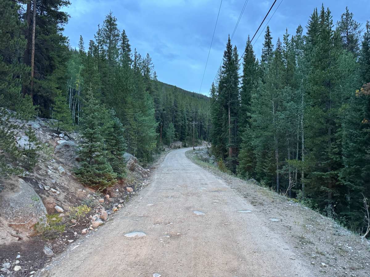
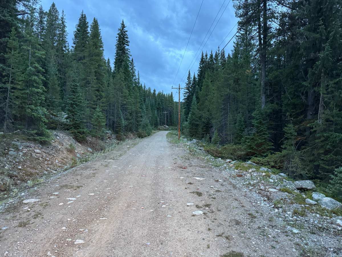
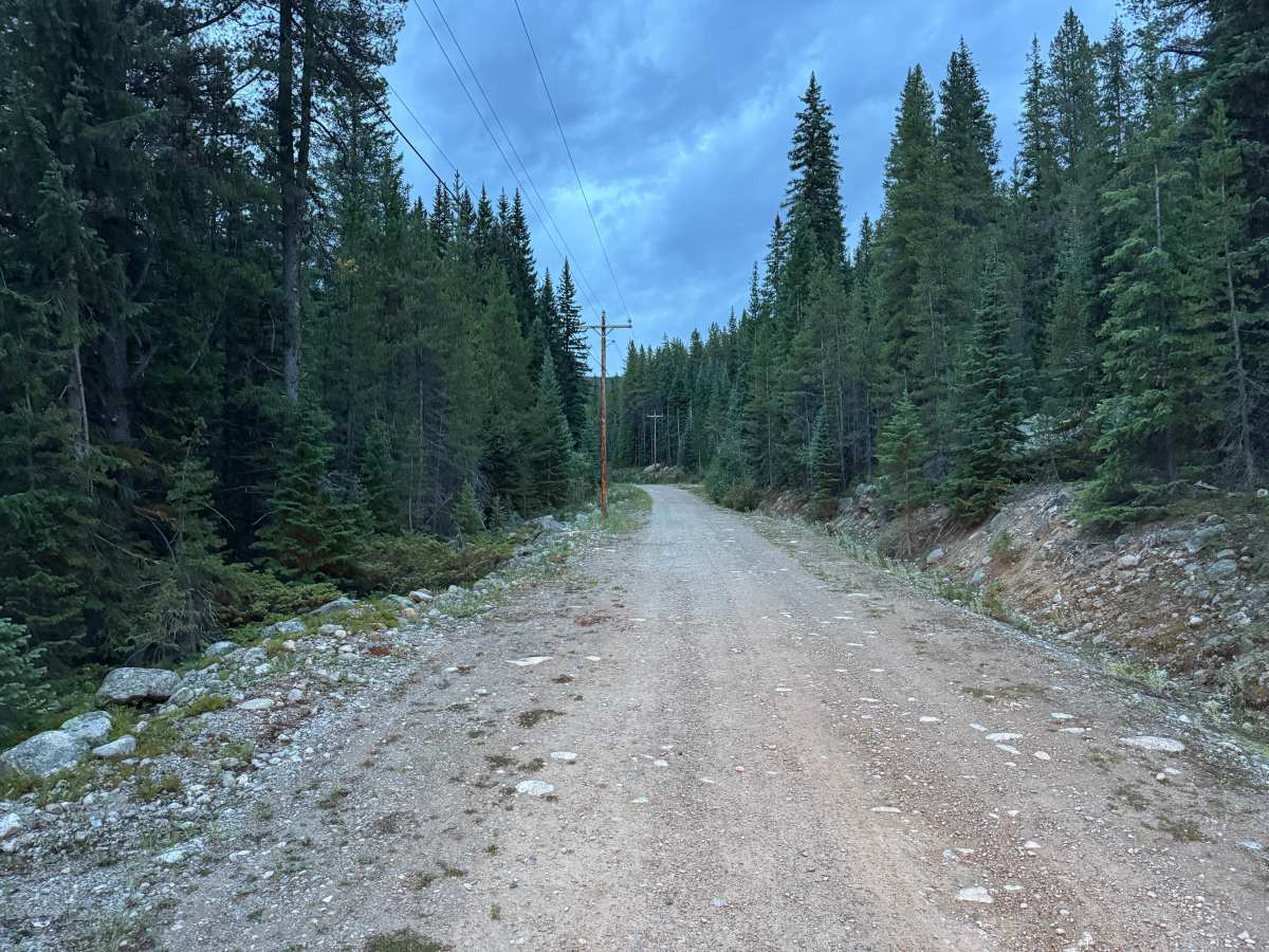
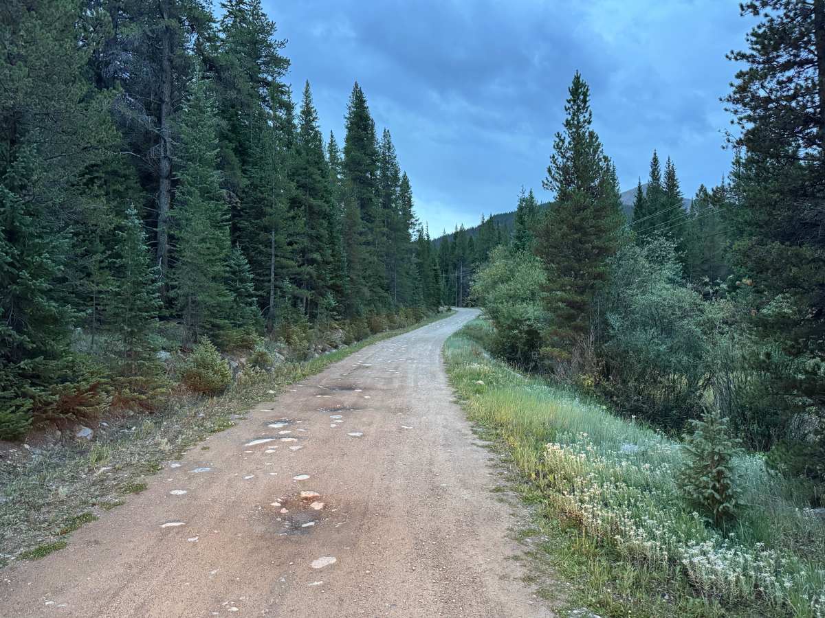
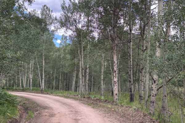
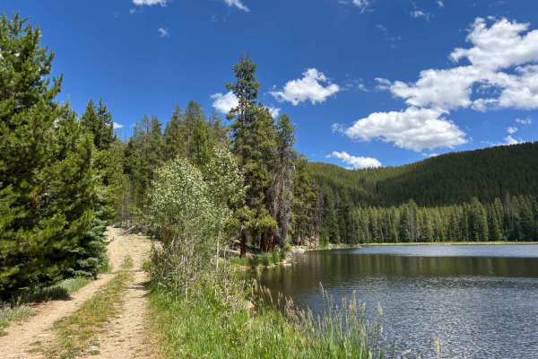
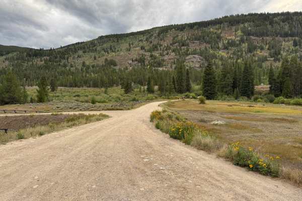
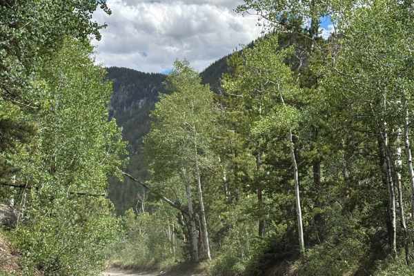
This out-and-back route travels along an unmaintained gravel road through dense mountain forest. The surface consists primarily of packed dirt and gravel with scattered embedded and loose rock, along with occasional potholes, dips, and whoops. The road is mostly one vehicle wide, although wider areas provide opportunities for vehicles to pass. Much of the route winds through thick stands of pine, fir, and aspen, with brush and other vegetation growing close to the roadway. Rocky hillsides and forested slopes surround portions of the route, while utility lines follow the road for much of the way. Downed trees may occasionally obstruct travel. There are no major obstacles, but conditions can change with weather and erosion. Wildlife, including deer, elk, and moose, may also be seen along the route.
History
The upper Fryingpan Valley has a history tied to early transportation, logging, railroad activity, recreation, and water development. Norrie was once a Colorado Midland Railroad camp and supported a large timber and sawmill operation, with local timber used in railroad construction. The broader area later became an important part of the Fryingpan-Arkansas Project, with an extensive system of diversion structures, conduits, and tunnels carrying water beneath the mountains and across the Continental Divide. Several of these water-development features remain scattered throughout the surrounding mountains today.