Trail Overview
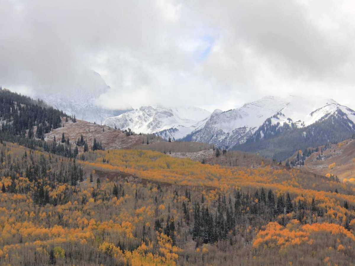
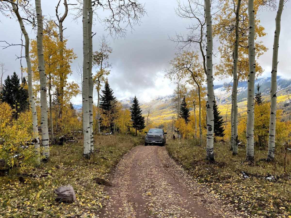
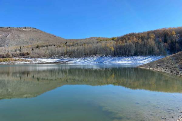
Capitol Creek Road is an ideal moderate route for offroaders seeking stunning high-country views and access to premier hiking in the Maroon Bells-Snowmass Wilderness. Spanning approximately 3.1 miles near Aspen, Colorado, this scenic trail climbs through vibrant aspen groves that deliver spectacular fall colors, ranging in elevation from 8,509 feet to 9,969 feet. The trail serves as a popular gateway for outdoor enthusiasts, leading to several key trailheads including the Capitol Creek Trail and Hell Roaring Trail. Because of its popularity with hikers, backpackers, peak baggers, and equestrians, drivers should expect heavy multi-use traffic and exercise caution throughout the drive.
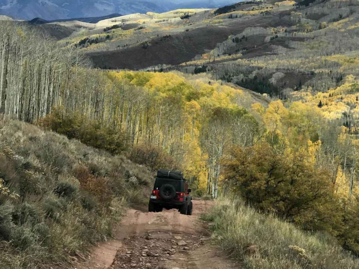
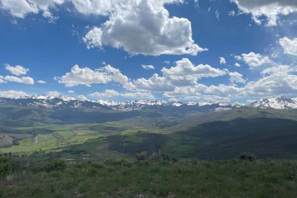
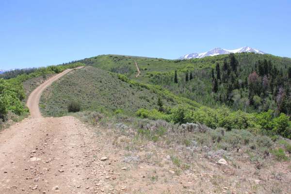
With a technical rating of 3, the road presents a moderate challenge characterized by narrow, rutted sections that become increasingly technical past the Capitol Creek Trailhead. Four-wheel drive and decent ground clearance are recommended to navigate the uneven terrain and ruts. The route begins where the road narrows near the horse trailer parking and winds upward, offering dramatic vistas of Capitol Peak and the surrounding Elk Mountains.
Access Description
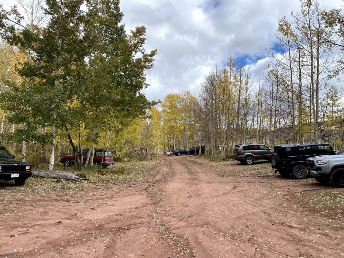
The road is managed by Pitkin County and the White River National Forest. No fees or permits are required to access or drive the road. Parking is available at the trailheads, and there is a designated horse trailer parking area before the road narrows. Use caution due to heavy multi-use traffic including hikers, backpackers, and equestrians.




 Offroad