
Dirt Bike Trails
Near Virden, New Mexico
Explore All Dirt Bike Trails Near Virden, New Mexico
Dirt Bike Trails Near Virden, New Mexico
Discover the best dirt bike trails near you. Browse trail maps, check difficulty ratings, and find your next adventure — whether you're looking for a quick ride or an all-day expedition.
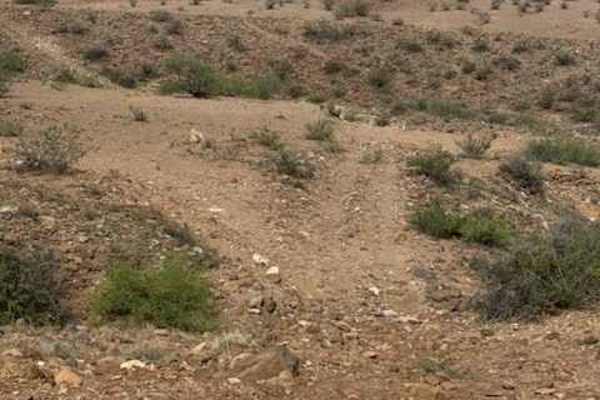
BLM PE1221
BLM PE1221 begins at the end of PE1220 and travels east-west through a rugged desert landscape of hills, valleys, and washes. The trail winds up and down through the terrain, with washouts and sections where the trail is starting to be given back to nature. The West end of the trail leads to a creek...
Learn more about BLM PE1221
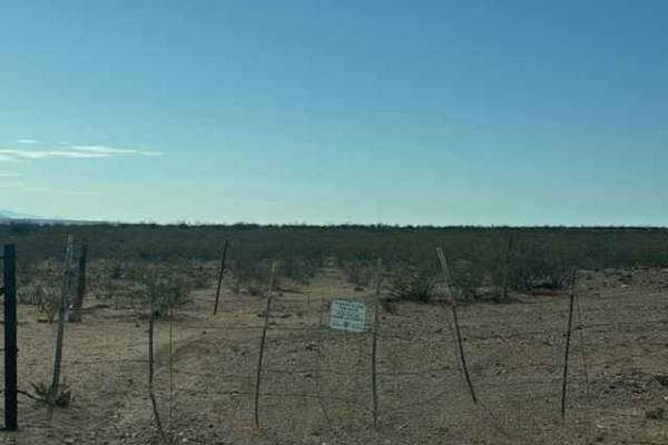
BLM SS1039
BLM SS1039 is a point-to-point trail beginning just off Highway 70. Access is through a closed gate; please keep it closed. The trail follows a rough, bumpy 2-track through natural desert terrain, with 6–12-inch lava rock. The trail line that follows the map has shifted slightly near the beginning a...
Learn more about BLM SS1039
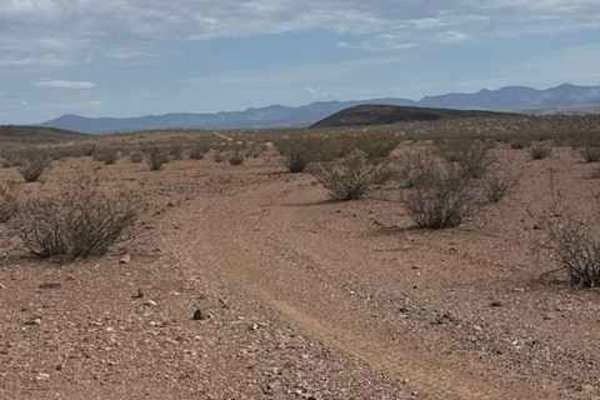
BLM PE1220
BLM PE1220 begins off PE1219 and travels north; the trail is a wide two-track. The trail starts with a gravel surface before quickly transitioning to large loose lava rock, roughly 6 inches in size. Larger lava rocks also line both sides of the trail, creating a defined trail corridor. The route cur...
Learn more about BLM PE1220
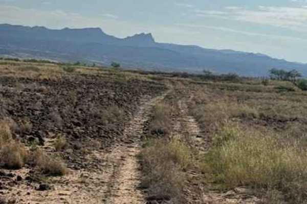
BLM SS1040
BLM SS1040 runs north at the end of SS1039. This track is a narrow 2-track trail that follows the east side of the creek. Lots of overgrown sections offer a few pinstripes, and the 6-12inch loose lava rock gravel sections will keep you bumping along. This natural trail is surrounded by desert creoso...
Learn more about BLM SS1040
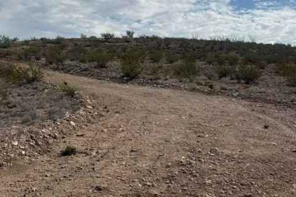
BLM SS1038
BLM SS1038 is a smooth, graded trail that winds up the hillside and follows a shelf road above the power poles, offering incredible views of the valley and Dillon, Arizona. The route is scenic rather than technical, with no significant obstacles encountered. A few low-water crossings are present and...
Learn more about BLM SS1038
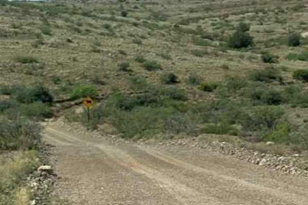
BLM SS1041
BLM SS1041 is a wide gravel trail with rock berms; travel begins at the cattle guard of Highway 70. Good connector trail to other trails in the area. Few bumps along the trail; nothing technical, no obstacles. Trail lined with desert creosote and mesquite trees. This trail crosses a section of priva...
Learn more about BLM SS1041
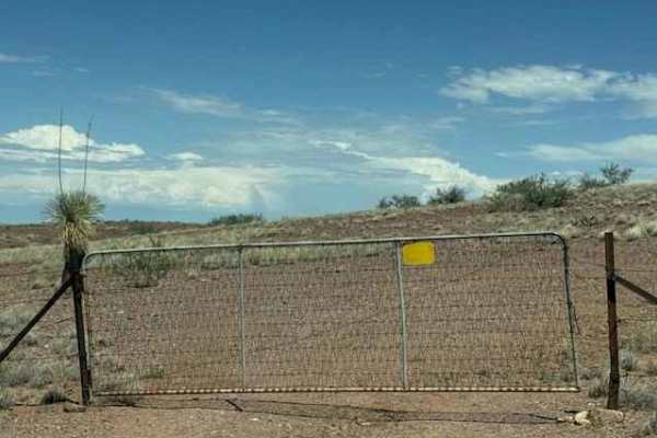
BLM PE1211
BLM PE1211 starts at a gate on the north side of Highway 70. Keep the gate closed. This trail will follow the Highway east and then curve north again, and it follows the power lines to the north. Lots of up-and-down hills, some steeper than others. This trail has large lava rock, approximately 6 inc...
Learn more about BLM PE1211
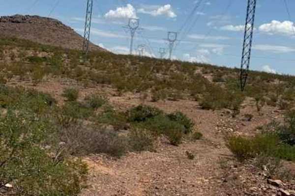
BLM SS1044
BLM SS1044 follows the power-line corridor. The trail is a wide, natural 2-track that is bumpy but easy to navigate. The route travels through open desert surrounded by creosote, scattered ground-cover cactus, and occasional mesquite trees. Be mindful of the harsh water-drainage transitions, especia...
Learn more about BLM SS1044
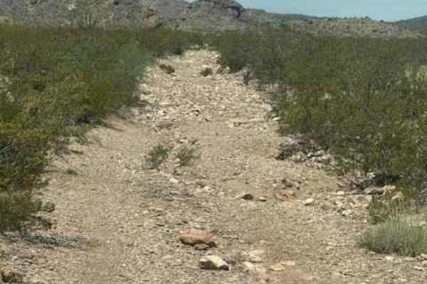
BLM SS1045
BLM SS1045 has become an out-and-back rugged rock-garden trail that begins with approximately 0.50 mile of really rocky, washed-out, slightly off-camber terrain due to heavy washouts. The trail briefly smooths out before becoming increasingly overgrown as it crosses the creek and continues around th...
Learn more about BLM SS1045
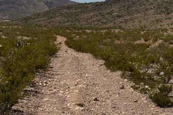
BLM SS1046B
BLM SS1046B begins off SS1020 and travels south along a narrow 2-track gravel trail. The route starts with several drainage washouts and winds through desert vegetation including yucca, creosote, and mesquite trees. As the trail continues, look for the greenest trees marking the approach to a wash c...
Learn more about BLM SS1046B
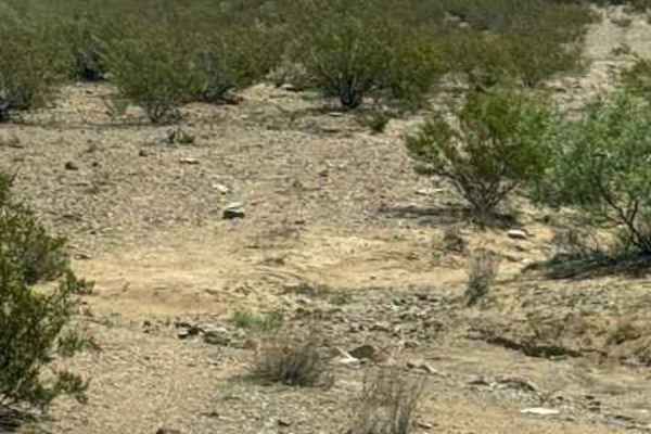
BLM SS1043
BLM SS1043 starts at SS1020, a naturally bumpy, loose-rock gravel trail. The section north of SS1020 has lots of water drainage ditches impassable in wet conditions and lots of washouts; other than the drainage, nothing technical just watch the trail and speed. The next section is on the south side ...
Learn more about BLM SS1043
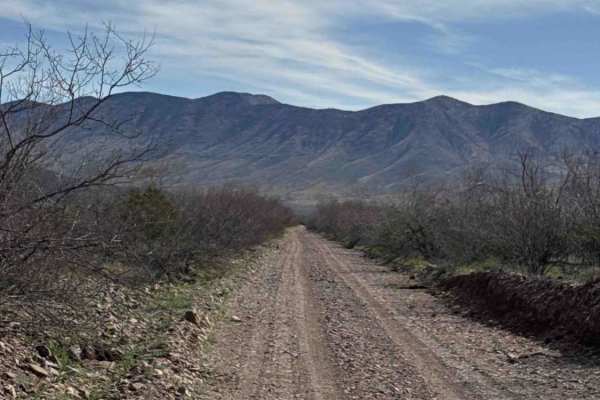
Ss1103
This route connects Ss1050 on the east side to the Hot Well Dunes area and begins with one of the rougher This route connects Ss1050 on the east side to the Hot Well Dunes area and begins with one of the rougher sections in the network. The western portion is a rocky “rock garden” that winds around ...
Learn more about Ss1103
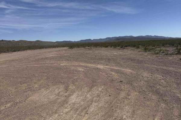
Ss1050
Trail guide summery Trail Ss1050 Enters off Highway 70. There's a large parking and air down area right off the highway, just past the open gate cattle guard. Next, you will come to a cattle guard with a sign that says Hackberry Ranch and State Trust Land Permit Required. Hackberry Road goes to the ...
Learn more about Ss1050
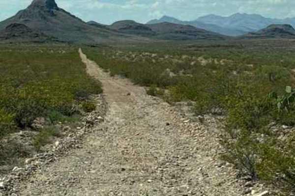
BLM PE1132
BLM PE1132 is a point to point 2 track gravel trail. Enter through a gate off Highway 70, and the trail runs east to west. Large rock gravel, bumpy but nothing technical, found on the east side. This trail gives access to BLM PE1137 that will take you to the trails that track north. Trail surrounded...
Learn more about BLM PE1132
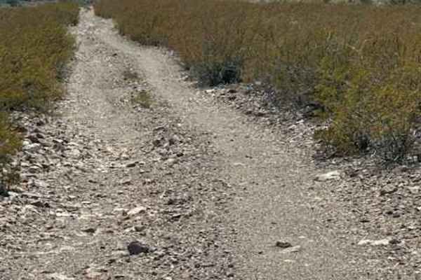
BLM PE1137
BLM PE1137 is a point-to-point gravel 2-track connection between BLM PE1139 and BLM PE1132 and offers an alternate route when washouts make BLM PE1139 impassable. The trail includes four wash crossings that can quickly become impassable during monsoons. There is a gate that must be opened and closed...
Learn more about BLM PE1137
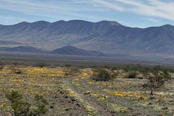
Ss1103d
Trail Ss1103d is a narrow, natural two-track that cuts across open desert toward the base of the mountains. The first mile travels through State Trust Land; a valid permit is required. The route is rocky and bumpy. High-clearance 2WD or 4WD is recommended due to uneven terrain and scattered rocks. D...
Learn more about Ss1103d
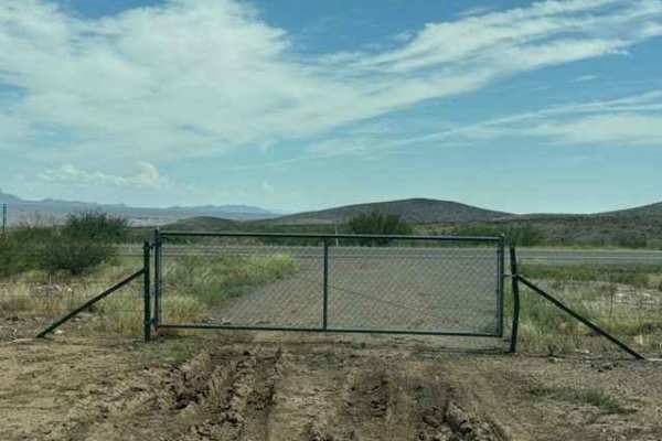
PE1183
PE1183 begins through a gate accessed from Highway 191, just south of the three-way intersection. Keep the gate closed. The trail starts as a wide two-track with sections of 6–12-inch lava rock, creating a bumpy ride. The route S-curves through the hills before climbing toward the top of the ridge, ...
Learn more about PE1183
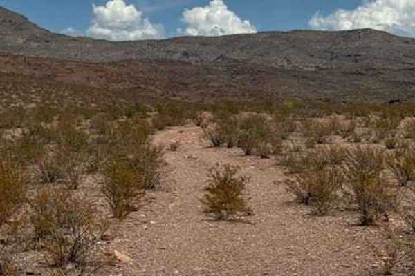
BLM PE1141
BLM PE1141 starts off BLM PE1139 and heads north along a natural 2-track through rocky, bumpy terrain surrounded by desert creosote, ocotillo, and yucca. The trail is somewhat overgrown in sections and requires attention to stay on the established route. As you approach a hill, the trail might appea...
Learn more about BLM PE1141
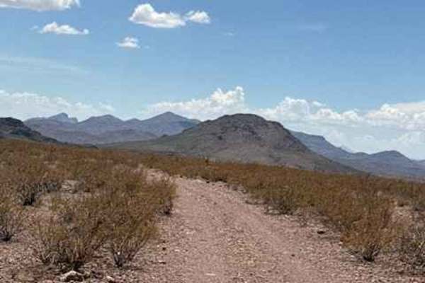
BLM PE1142
BLM PE1142 is a north-south spur off BLM PE1139 that follows a natural gravel 2-track along the ridgeline, offering beautiful views in every direction. The trail winds through classic desert terrain surrounded by creosote, barrel cactus, and scattered ocotillo. There is a gate along the route that s...
Learn more about BLM PE1142
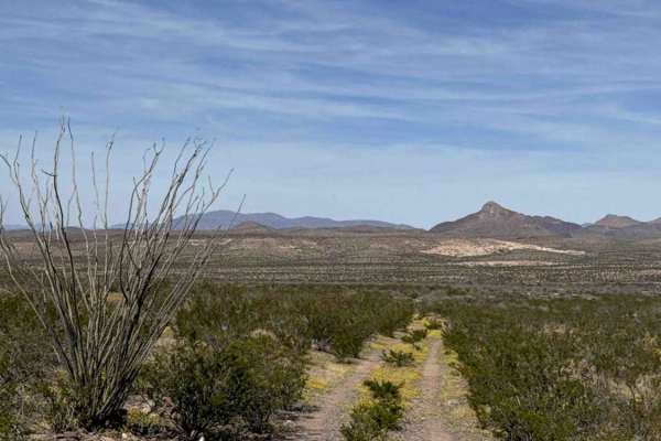
Ss1051b
This out-and-back trail branches off Ss1051 and quickly transitions into a narrower, rockier desert track heading toward the hills. The route winds through dense desert creosote and becomes increasingly tight in areas. Expect pinstripes along the sides and light undercarriage brush contact. High-cle...
Learn more about Ss1051b
ATV trails near Virden, New Mexico
Explore ATV-friendly trails near you. These trails are accessible for vehicles up to 50 inches wide, perfect for ATVs and smaller off-road machines.
BLM PE1221
BLM PE1221 begins at the end of PE1220 and travels east-west through a rugged desert landscape of hills, valleys, and washes. The trail winds up and down through the terrain, with washouts and sections where the trail is starting to be given back to nature. The West end of the trail leads to a creek...
Learn more about BLM PE1221
BLM SS1039
BLM SS1039 is a point-to-point trail beginning just off Highway 70. Access is through a closed gate; please keep it closed. The trail follows a rough, bumpy 2-track through natural desert terrain, with 6–12-inch lava rock. The trail line that follows the map has shifted slightly near the beginning a...
Learn more about BLM SS1039
BLM PE1220
BLM PE1220 begins off PE1219 and travels north; the trail is a wide two-track. The trail starts with a gravel surface before quickly transitioning to large loose lava rock, roughly 6 inches in size. Larger lava rocks also line both sides of the trail, creating a defined trail corridor. The route cur...
Learn more about BLM PE1220
BLM SS1040
BLM SS1040 runs north at the end of SS1039. This track is a narrow 2-track trail that follows the east side of the creek. Lots of overgrown sections offer a few pinstripes, and the 6-12inch loose lava rock gravel sections will keep you bumping along. This natural trail is surrounded by desert creoso...
Learn more about BLM SS1040
UTV/side-by-side trails near Virden, New Mexico
Find UTV and side-by-side trails near you. These trails accommodate vehicles up to 60 inches wide, ideal for UTVs, side-by-sides, and wider off-road rigs.
BLM SS1039
BLM SS1039 is a point-to-point trail beginning just off Highway 70. Access is through a closed gate; please keep it closed. The trail follows a rough, bumpy 2-track through natural desert terrain, with 6–12-inch lava rock. The trail line that follows the map has shifted slightly near the beginning a...
Learn more about BLM SS1039
BLM PE1220
BLM PE1220 begins off PE1219 and travels north; the trail is a wide two-track. The trail starts with a gravel surface before quickly transitioning to large loose lava rock, roughly 6 inches in size. Larger lava rocks also line both sides of the trail, creating a defined trail corridor. The route cur...
Learn more about BLM PE1220
BLM SS1040
BLM SS1040 runs north at the end of SS1039. This track is a narrow 2-track trail that follows the east side of the creek. Lots of overgrown sections offer a few pinstripes, and the 6-12inch loose lava rock gravel sections will keep you bumping along. This natural trail is surrounded by desert creoso...
Learn more about BLM SS1040
BLM SS1038
BLM SS1038 is a smooth, graded trail that winds up the hillside and follows a shelf road above the power poles, offering incredible views of the valley and Dillon, Arizona. The route is scenic rather than technical, with no significant obstacles encountered. A few low-water crossings are present and...
Learn more about BLM SS1038
The onX Offroad Difference
onX Offroad combines trail photos, descriptions, difficulty ratings, width restrictions, seasonality, and more in a user-friendly interface. Available on all devices, with offline access and full compatibility with CarPlay and Android Auto. Discover what you're missing today!
Open Trail Map