BLM SS1040

Total Miles1.5
Technical Rating
2Easy
Best TimeSpring, Summer, Fall, Winter
Trail TypeFull-Width Road
Accessible By
Open Trail Map

Trail Overview

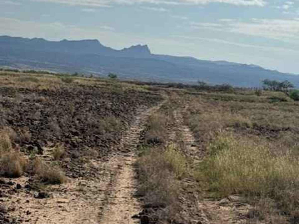
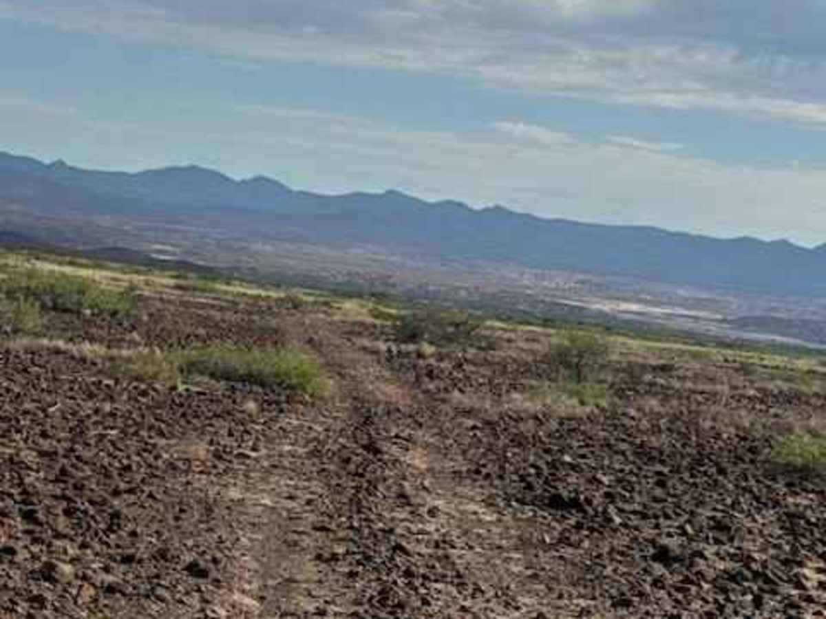
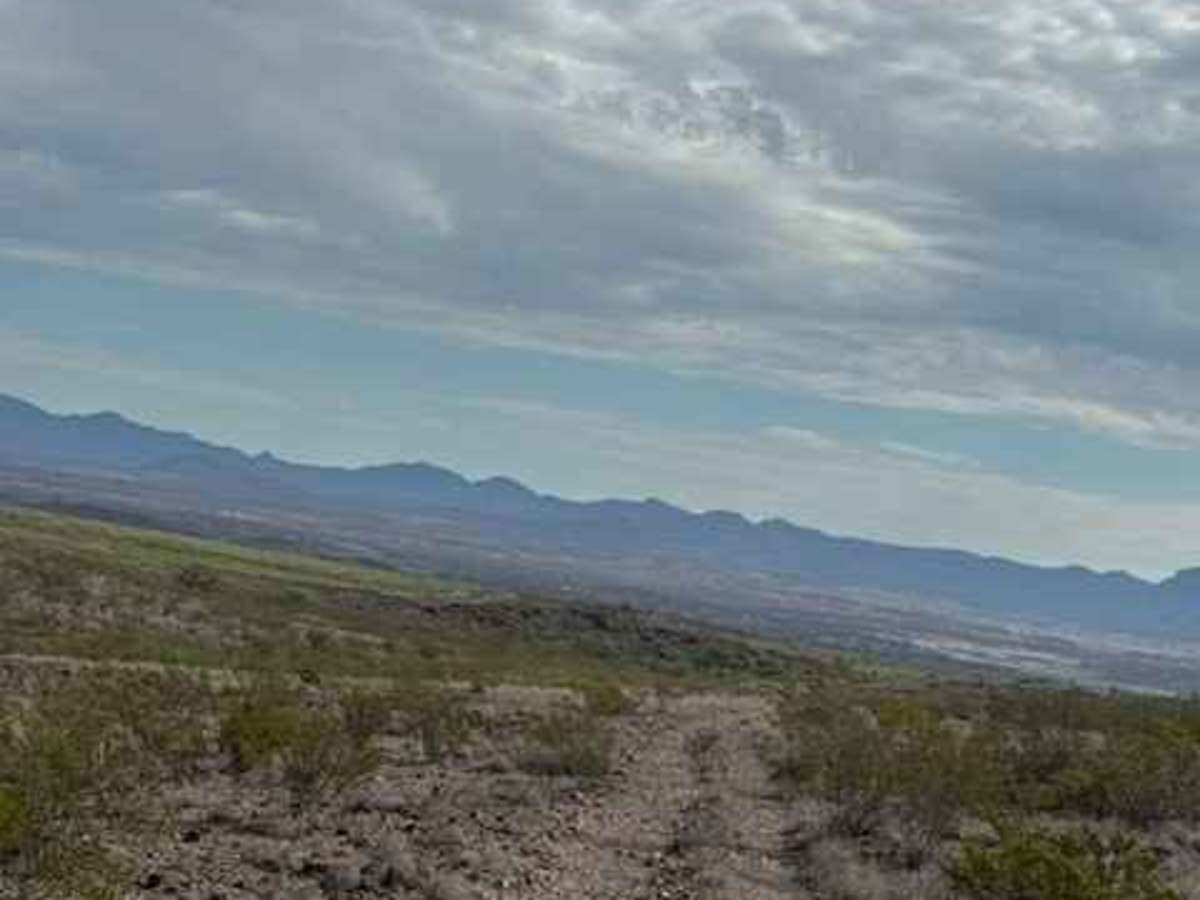
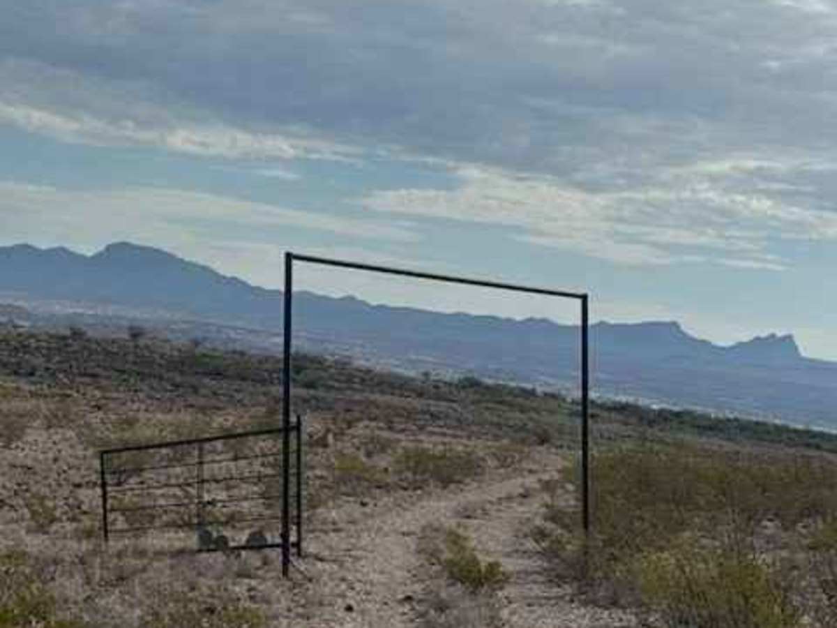
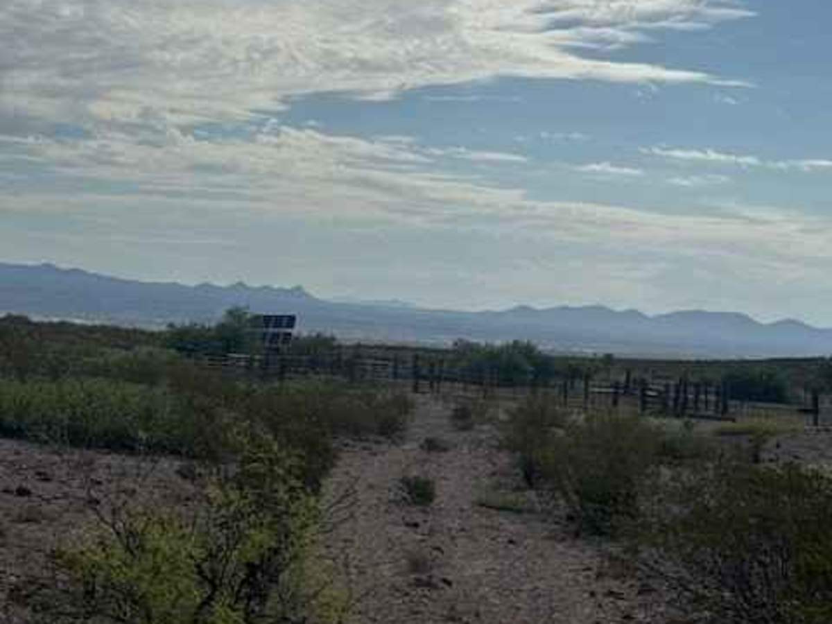
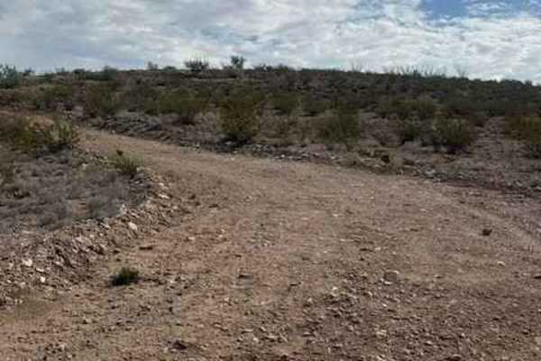
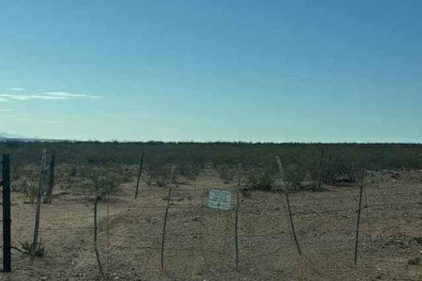
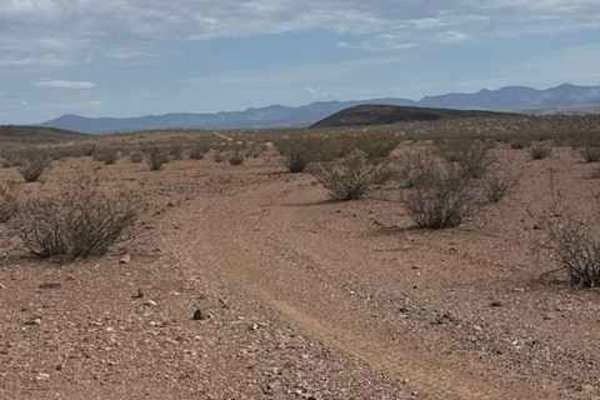
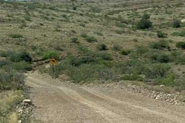
BLM SS1040 runs north at the end of SS1039. This track is a narrow 2-track trail that follows the east side of the creek. Lots of overgrown sections offer a few pinstripes, and the 6-12inch loose lava rock gravel sections will keep you bumping along. This natural trail is surrounded by desert creosote and small cacti. You will come to a gate; leave it as you found it. The trail is bumpy but completely passable and brings you back to SS1020 near the large water tank and corral. Watch for livestock. This trail is passable in wet conditions; however, the two connecting trails to reach and leave this trail cross a creek, which could be impassable in wet conditions.

Photos of BLM SS1040

Difficulty

Large 6-12 inch loose lava rock sections are bumpy. No obstacles and nothing technical. Few pin stripe sections where overgrown

Technical Rating

2

BLM SS1040 Trail can be accessed by the following ride types:

  • Single Track
  • 50 Inch
  • 60 Inch
  • High Clearance
  • Full Width

BLM SS1040 Map

The onX Offroad Difference

onX Offroad combines trail photos, descriptions, difficulty ratings, width restrictions, seasonality, and more in a user-friendly interface. Available on all devices, with offline access and full compatibility with CarPlay and Android Auto. Discover what you're missing today!

Open Trail Map