Trail Overview
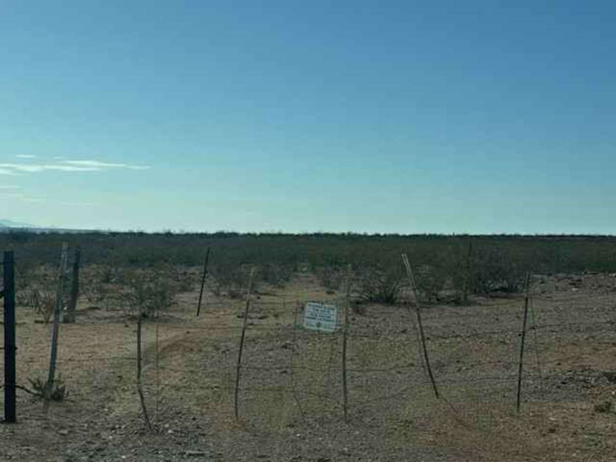
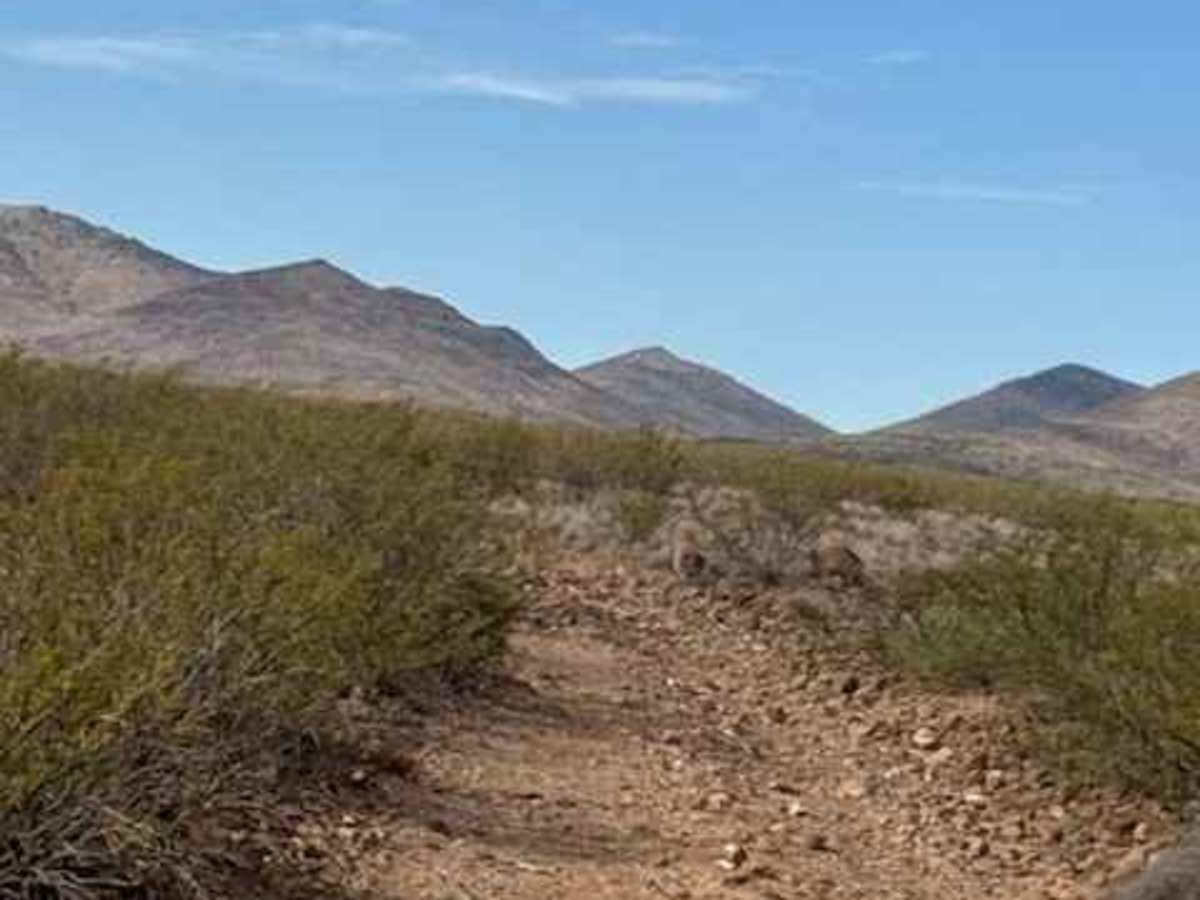
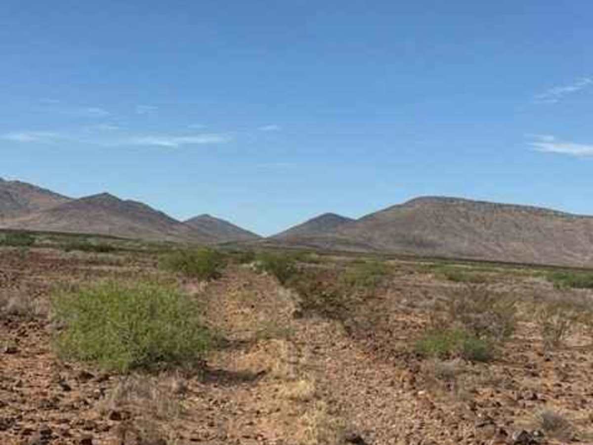
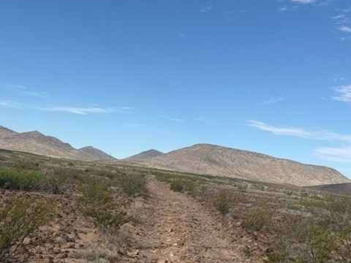
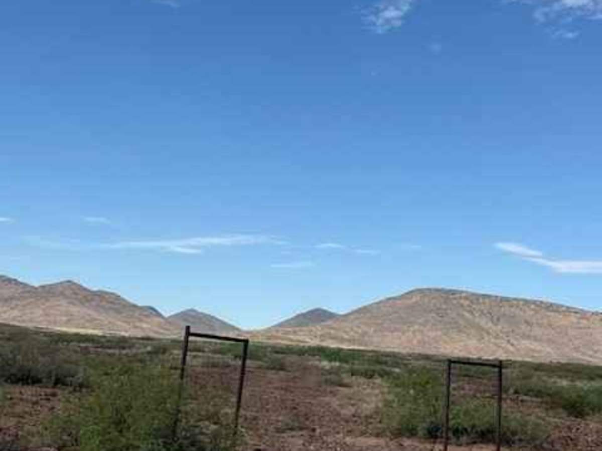
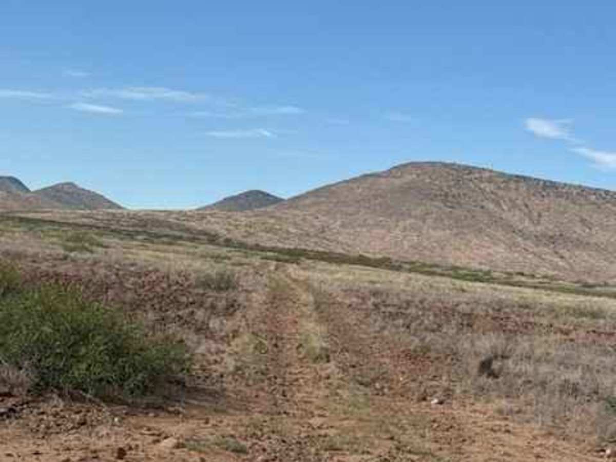
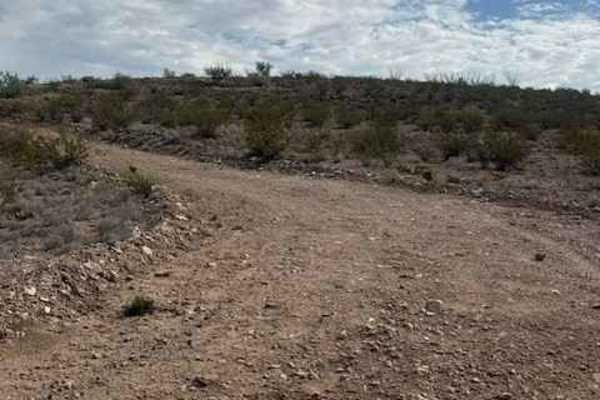
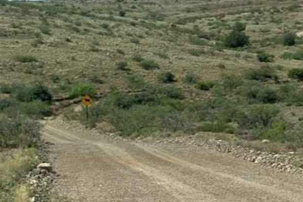
BLM SS1039 is a point-to-point trail beginning just off Highway 70. Access is through a closed gate; please keep it closed. The trail follows a rough, bumpy 2-track through natural desert terrain, with 6–12-inch lava rock. The trail line that follows the map has shifted slightly near the beginning and then returns to the original line. After crossing SS1039A, the trail passes through an open gate and continues south across the desert toward the mountains. The route crosses SS1020, an east-west connector trail. Farther south, taller, denser creosote increases the chance of pinstripes, especially for wider vehicles. At the final Y, stay right and continue above the creek bed. Near the end, the trail drops into the creek bed for approximately 0.10 miles before climbing back out. A camp ring was found at the end of the trail overlooking the valley.
The trail eventually ends at the intersection with Ss1040.
Difficulty
Large lava rock between 6 and 12 inches, bumpy, high clearance; creek crossing to the other side could be impassable when wet. 4wd and high clearance recommended