BLM PE1220

Total Miles1.1
Technical Rating
2Easy
Best TimeSpring, Fall, Summer, Winter
Trail TypeFull-Width Road
Accessible By
Open Trail Map

Trail Overview

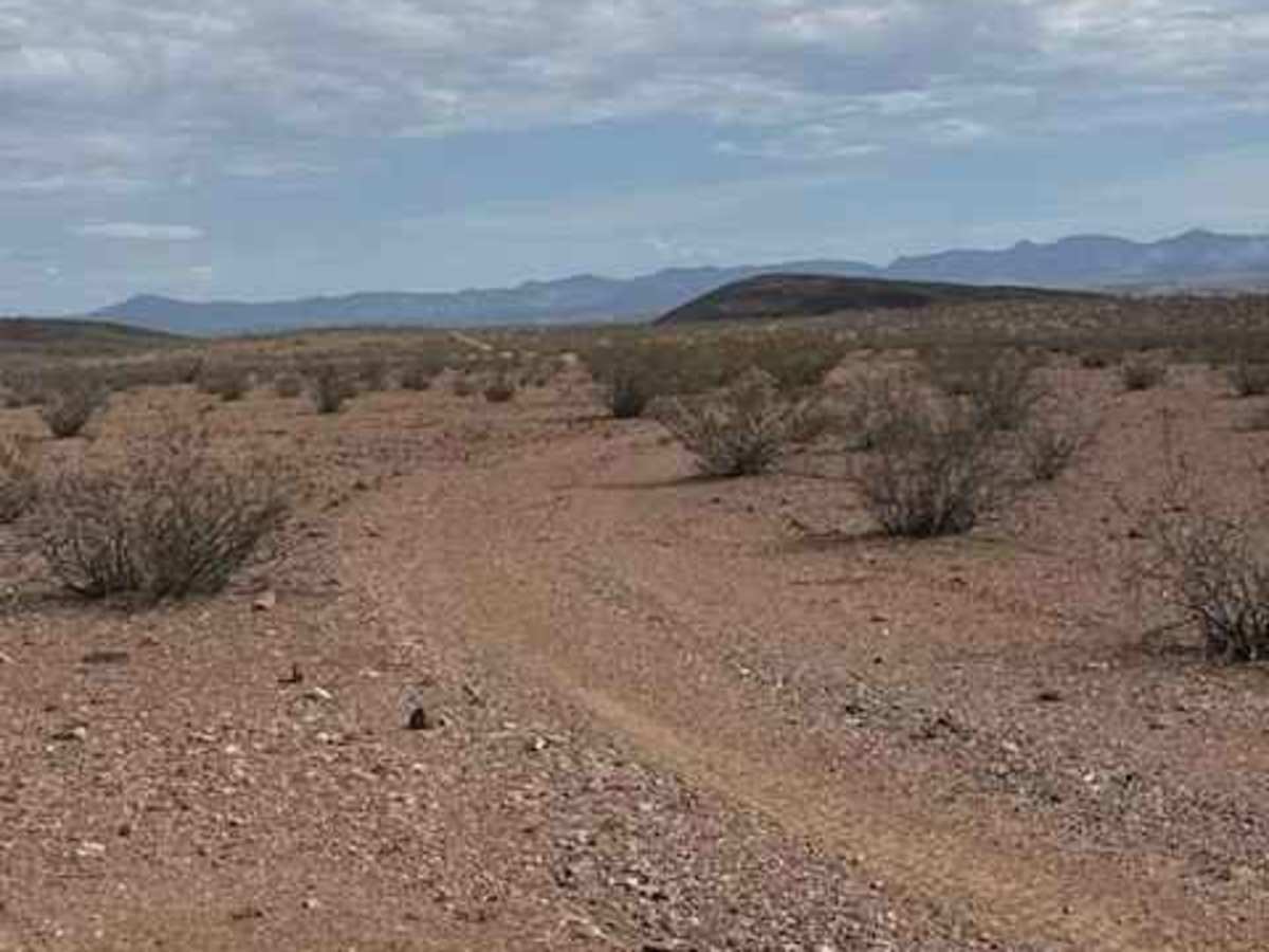
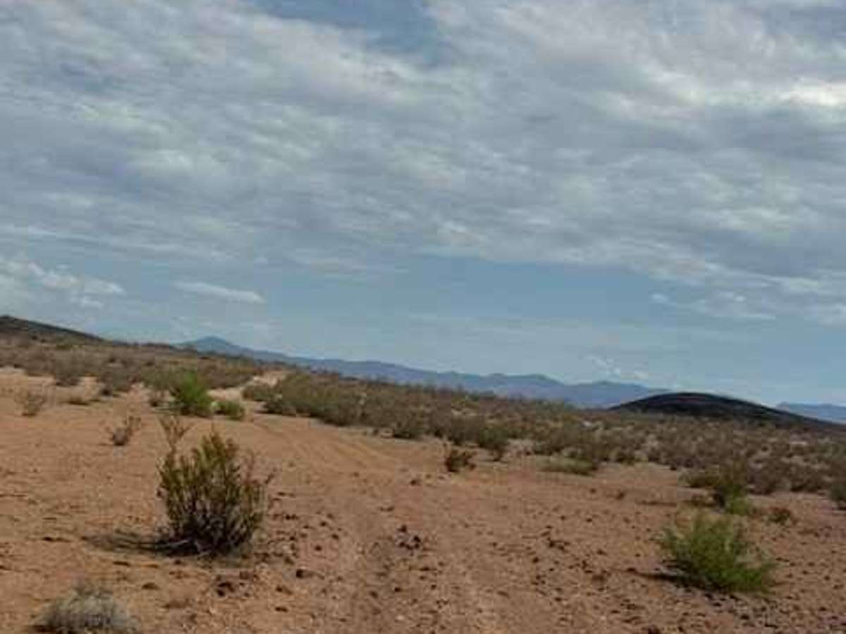
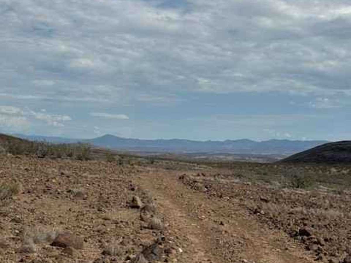
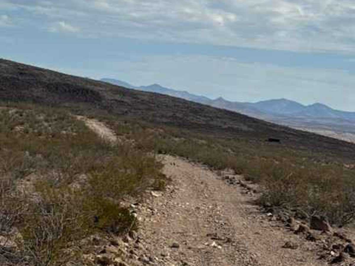
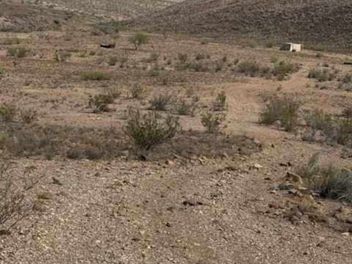
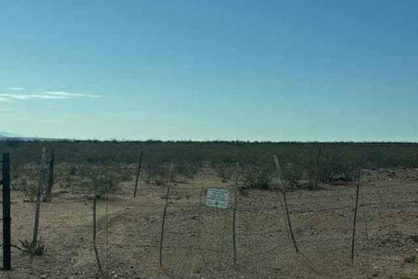
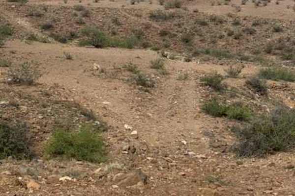
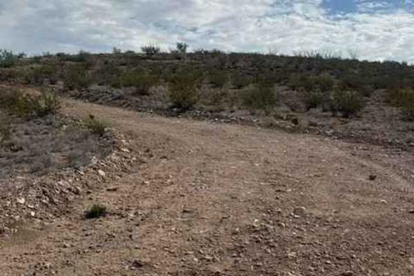
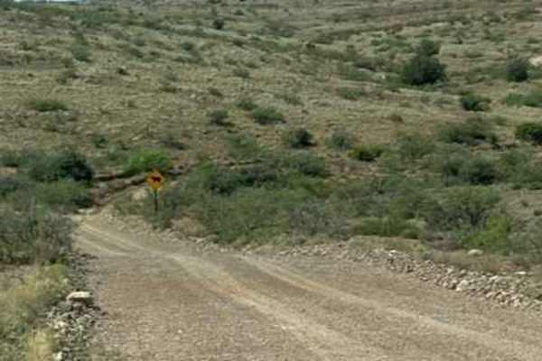
BLM PE1220 begins off PE1219 and travels north; the trail is a wide two-track. The trail starts with a gravel surface before quickly transitioning to large loose lava rock, roughly 6 inches in size. Larger lava rocks also line both sides of the trail, creating a defined trail corridor. The route curves to the right and continues east through desert terrain surrounded by creosote. As the trail approaches the mountain, it ends at a water tank and connects with PE1221. No obstacles or technical sections were encountered. There are no suitable camping areas near the trail due to the presence of water tanks.

Photos of BLM PE1220

Difficulty

Nothing technical and no obstacles, but the 6-inch lava rock makes for a very bumpy trail. Access to this trail could be impassable in wet conditions.

Technical Rating

2

BLM PE1220 Trail can be accessed by the following ride types:

  • Single Track
  • 50 Inch
  • 60 Inch
  • High Clearance
  • Full Width

BLM PE1220 Map

The onX Offroad Difference

onX Offroad combines trail photos, descriptions, difficulty ratings, width restrictions, seasonality, and more in a user-friendly interface. Available on all devices, with offline access and full compatibility with CarPlay and Android Auto. Discover what you're missing today!

Open Trail Map