Trail Overview
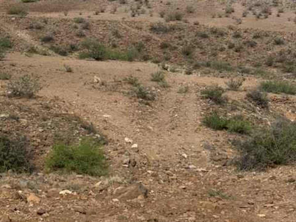
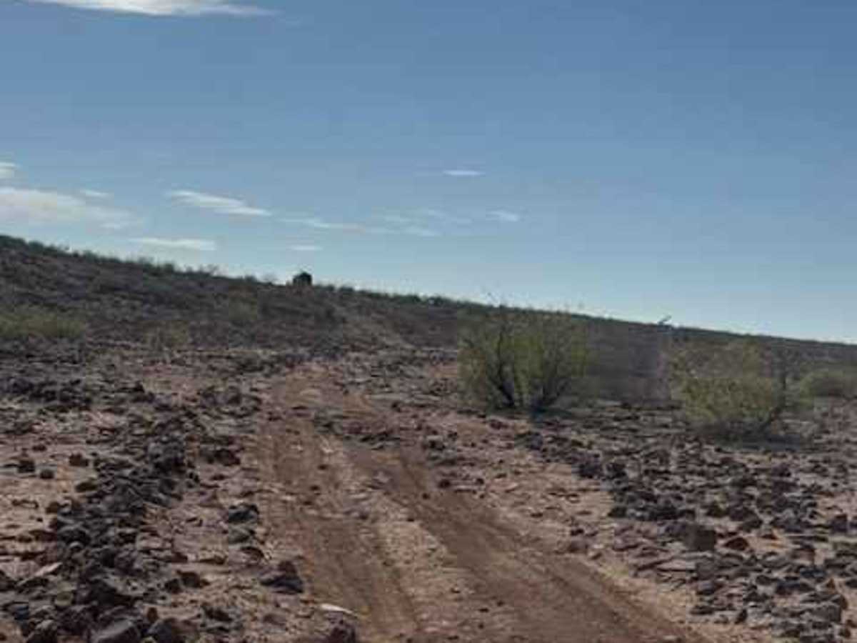
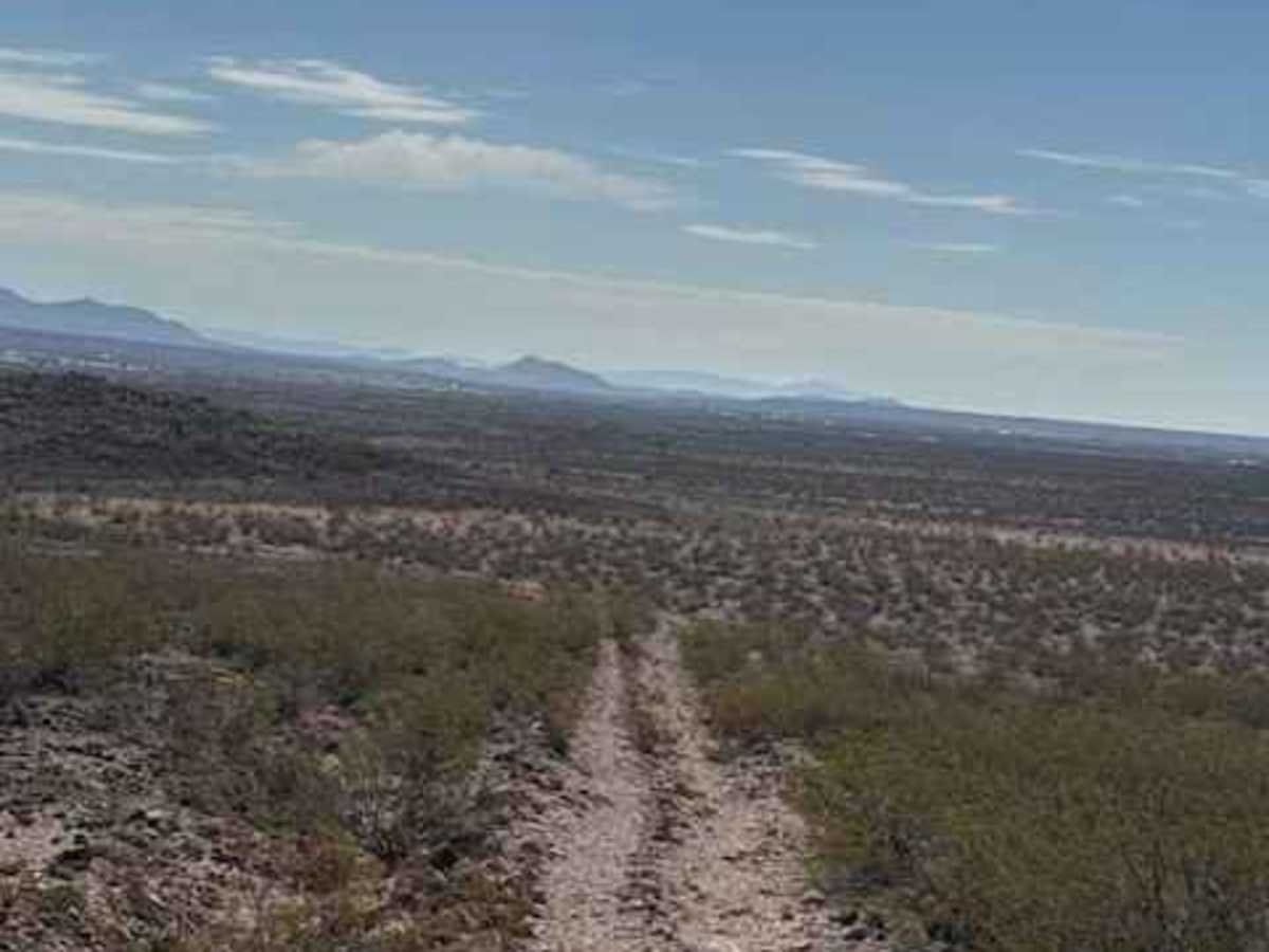
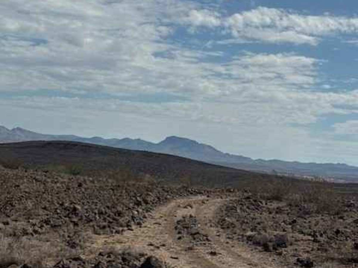
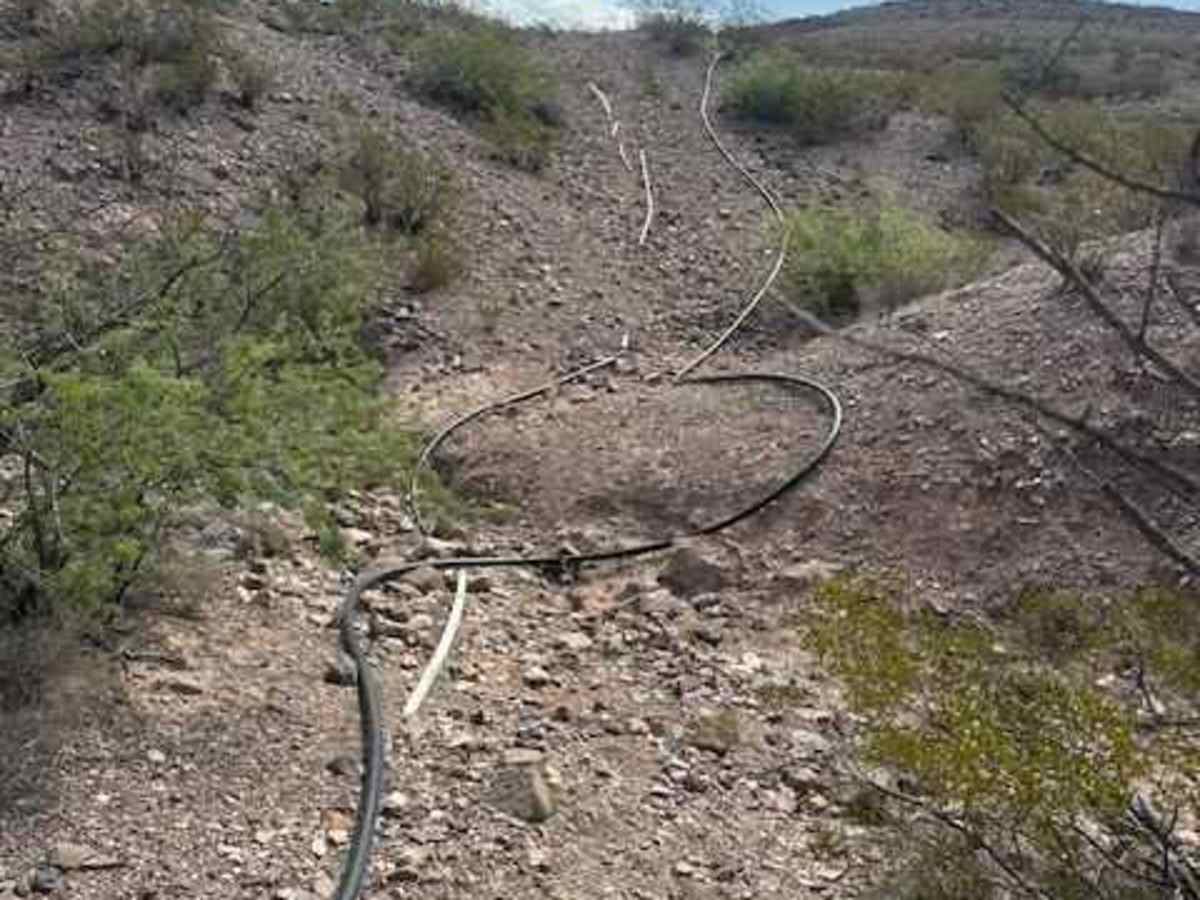
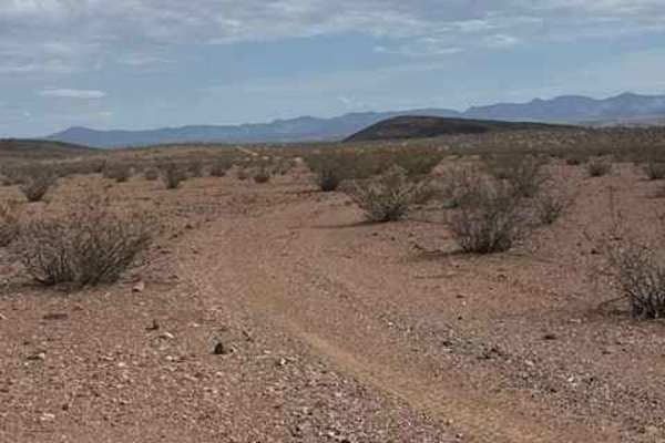
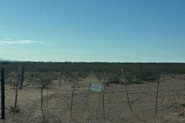
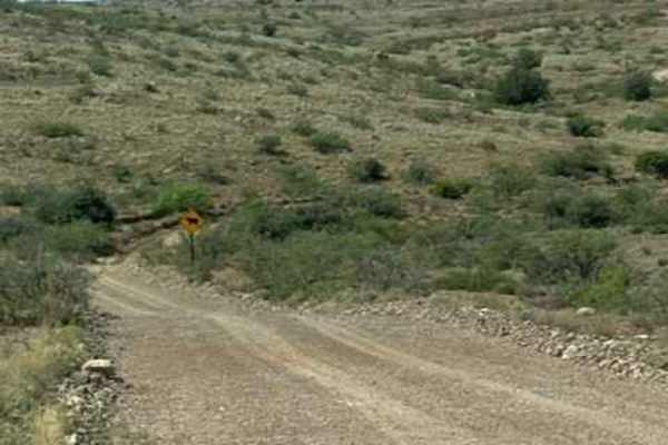
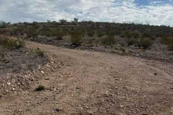
BLM PE1221 begins at the end of PE1220 and travels east-west through a rugged desert landscape of hills, valleys, and washes. The trail winds up and down through the terrain, with washouts and sections where the trail is starting to be given back to nature. The West end of the trail leads to a creek and several interesting rock formations that may be worth exploring on foot. Motorized travel is not permitted across the creek; that area beyond the creek is hike-only. The trail continues through tight overgrown sections, with possible pinstripes to be expected over hills and valleys before eventually ending at private property. Care should be taken to stay on the established route and respect property boundaries. PE1221 is a fun, scenic trail that offers more of a navigation challenge; however, the transition crossings on the east side are short, tight, and technically challenging steep climbs and descents. Monsoon rain has started to uproot the water lines in the area, so pay attention to the lines that are exposed. The western portion also appears to offer good opportunities for hiking and exploration