BLM SS1038

Total Miles1.6
Technical Rating
1Easy
Best TimeSpring, Fall, Winter, Summer
Trail TypeFull-Width Road
Accessible By
Open Trail Map

Trail Overview

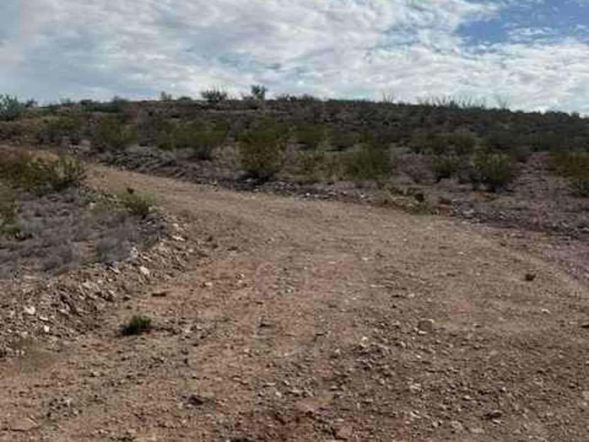
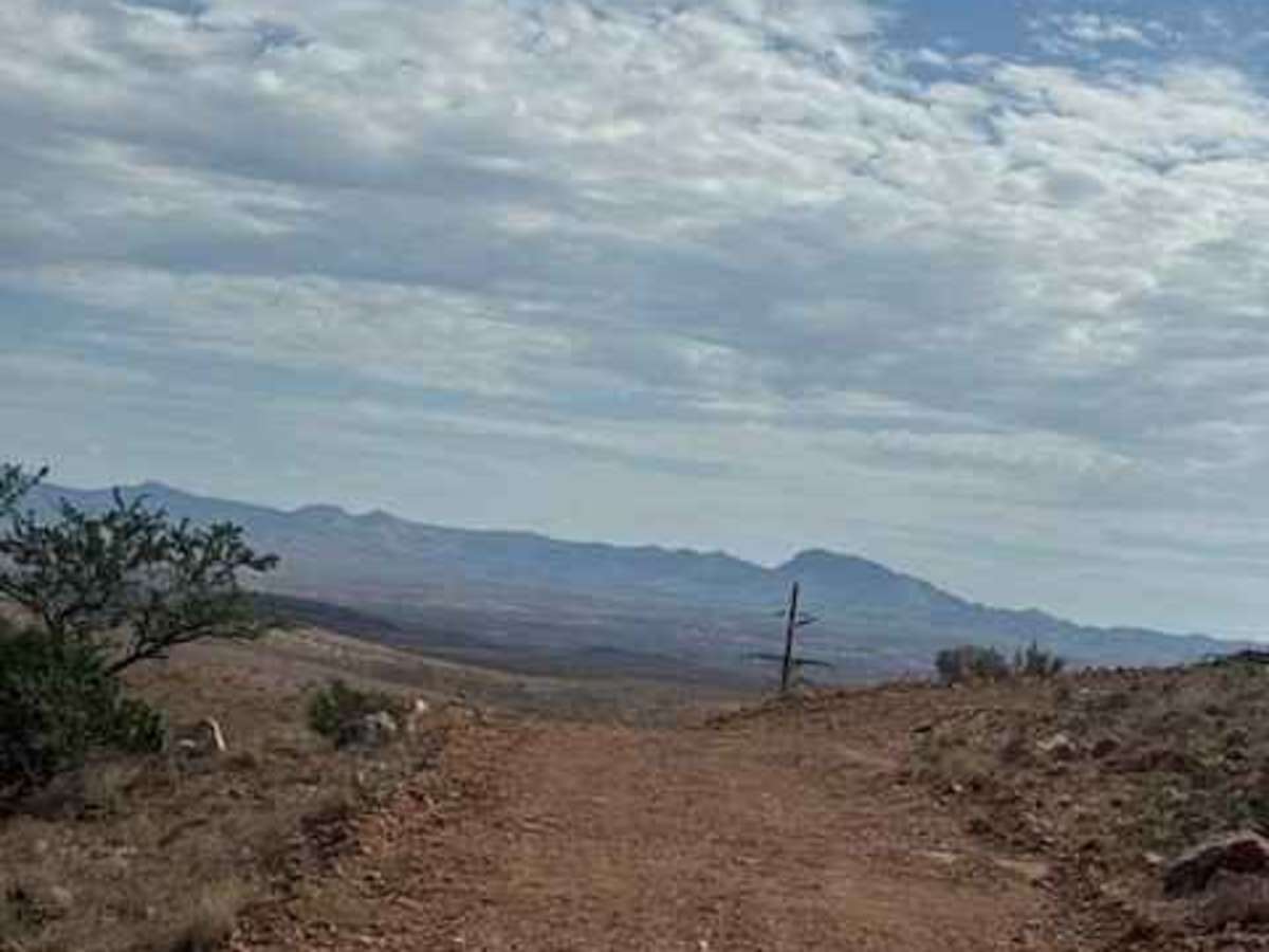
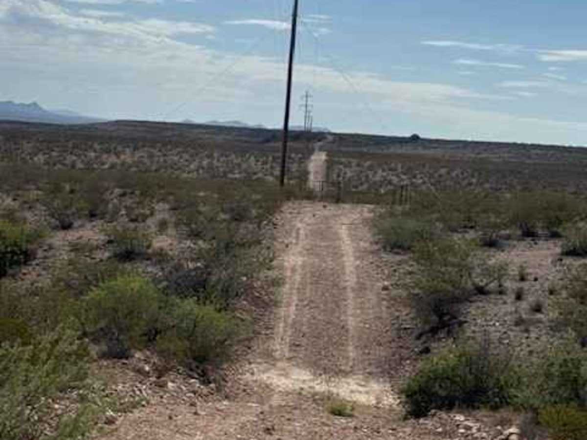
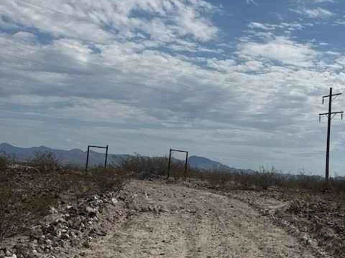
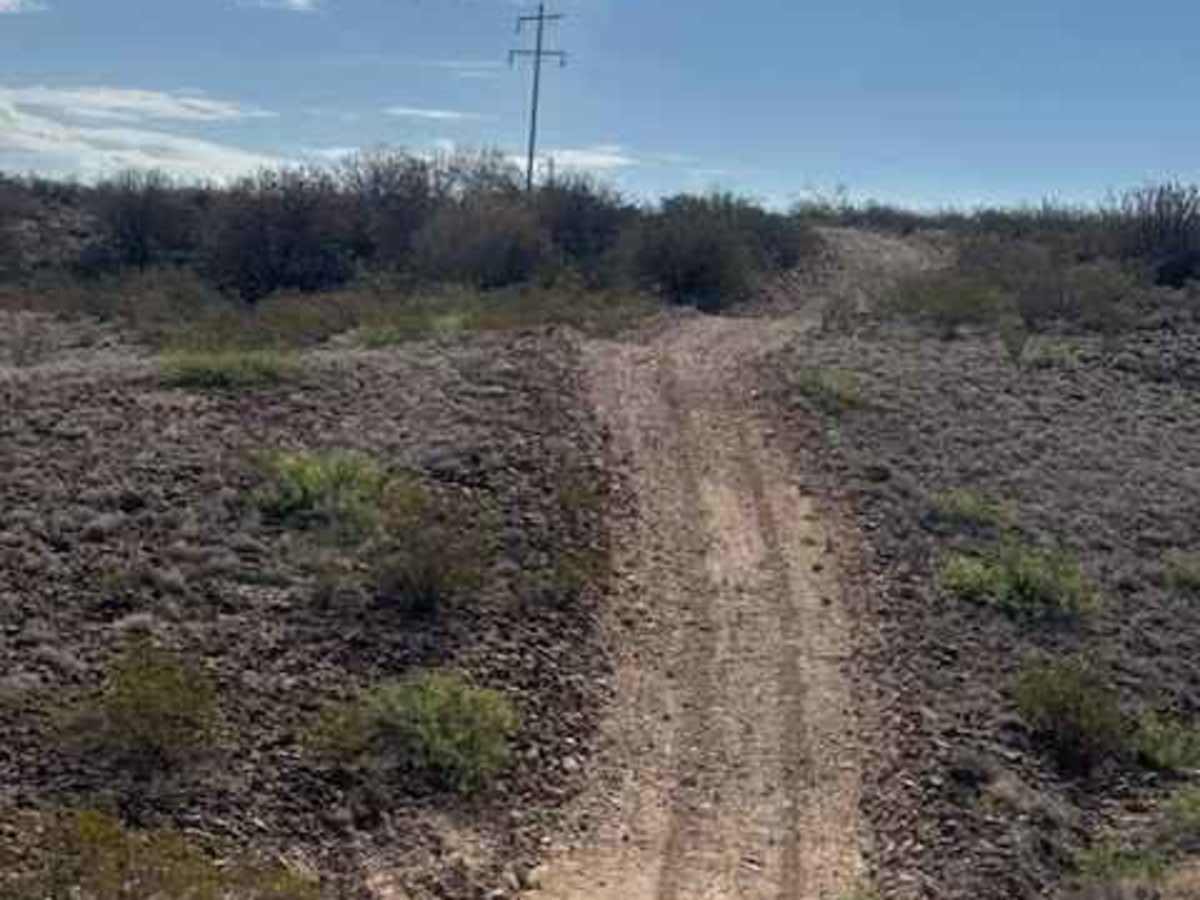
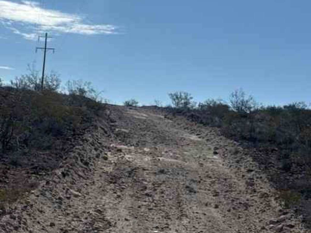
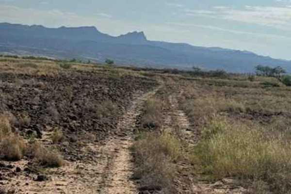
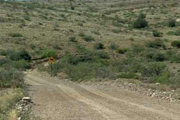
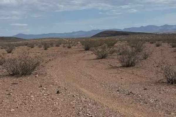
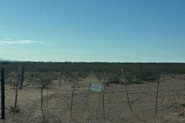
BLM SS1038 is a smooth, graded trail that winds up the hillside and follows a shelf road above the power poles, offering incredible views of the valley and Dillon, Arizona. The route is scenic rather than technical, with no significant obstacles encountered. A few low-water crossings are present and may become impassable when wet. The trail drops back into the wash before climbing again alongside the power poles. The trail offers several steep hills along the route, but nothing technical. The trail eventually connects back to SS1039, completing the loop through the trail network. No established camping areas were found, although several flat spots may provide potential camping locations.

Photos of BLM SS1038

Difficulty

Nothing technical; no impassable obstacles in wet conditions in the low creek crossings. Few steep climbs and descents 2wd/4wd accessible

Technical Rating

1

BLM SS1038 Trail can be accessed by the following ride types:

  • Single Track
  • 50 Inch
  • 60 Inch
  • High Clearance
  • Full Width

BLM SS1038 Map

The onX Offroad Difference

onX Offroad combines trail photos, descriptions, difficulty ratings, width restrictions, seasonality, and more in a user-friendly interface. Available on all devices, with offline access and full compatibility with CarPlay and Android Auto. Discover what you're missing today!

Open Trail Map