BLM SS1044

Total Miles1.6
Technical Rating
2Easy
Best TimeSpring, Summer, Winter, Fall
Trail TypeFull-Width Road
Accessible By
Open Trail Map

Trail Overview

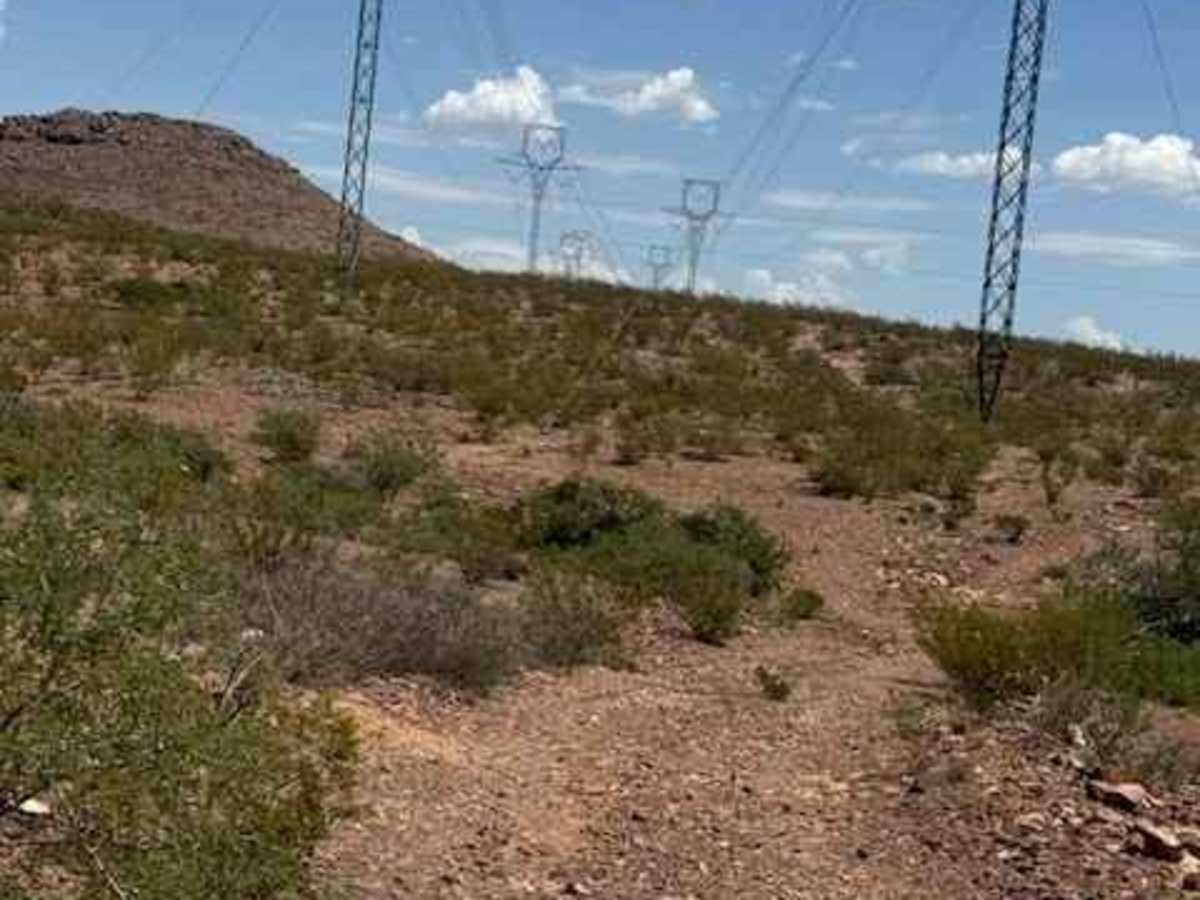
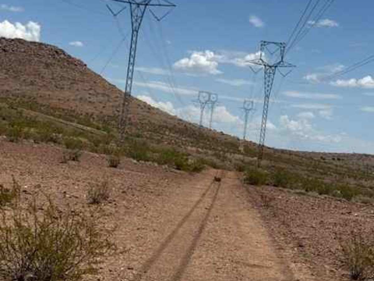
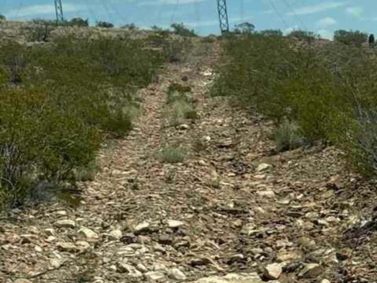
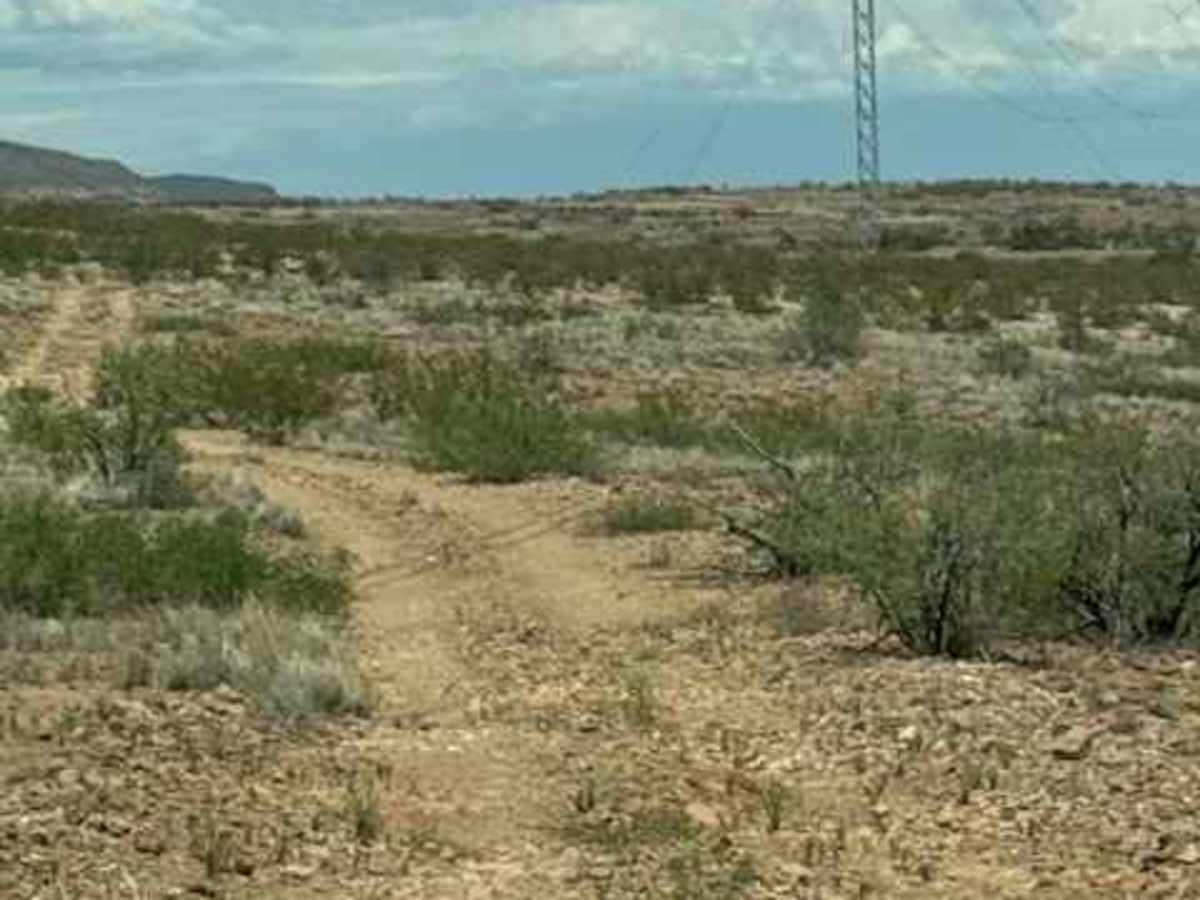
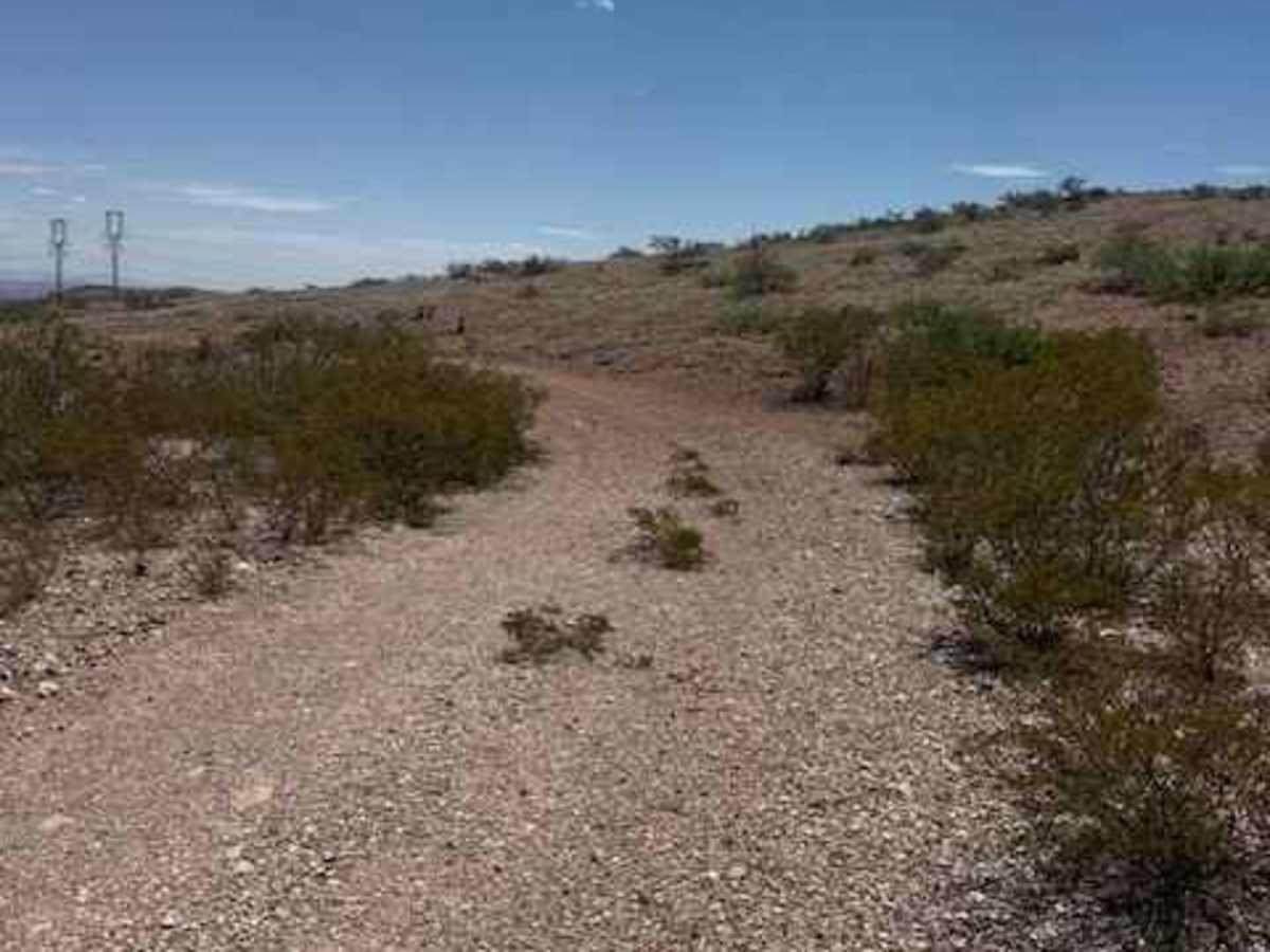
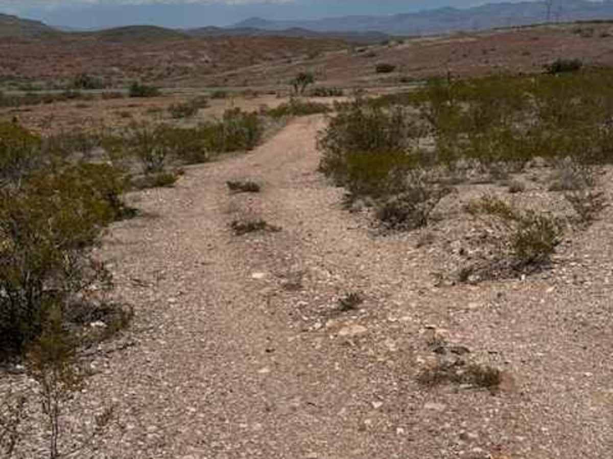
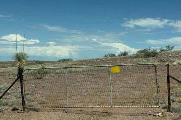
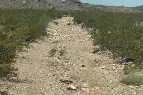
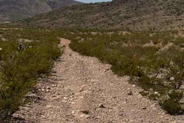
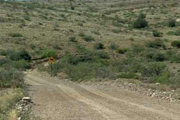
BLM SS1044 follows the power-line corridor. The trail is a wide, natural 2-track that is bumpy but easy to navigate. The route travels through open desert surrounded by creosote, scattered ground-cover cactus, and occasional mesquite trees. Be mindful of the harsh water-drainage transitions, especially where erosion has affected the trail surface. The trail climbs and descends through numerous hills, but no technical obstacles were found. Future monsoons will continue to change this trail. The expansive views are the highlight, with mountainous desert valleys stretching as far as the eye can see. The trail reaches Highway 70 at a gated access point. Keep the gate closed.

Photos of BLM SS1044

Difficulty

Large, loose rocky gravel; no obstacles and nothing technical. However could become impassable when wet.

Technical Rating

2

BLM SS1044 Trail can be accessed by the following ride types:

  • Single Track
  • 50 Inch
  • 60 Inch
  • High Clearance
  • Full Width

BLM SS1044 Map

The onX Offroad Difference

onX Offroad combines trail photos, descriptions, difficulty ratings, width restrictions, seasonality, and more in a user-friendly interface. Available on all devices, with offline access and full compatibility with CarPlay and Android Auto. Discover what you're missing today!

Open Trail Map