Trail Overview
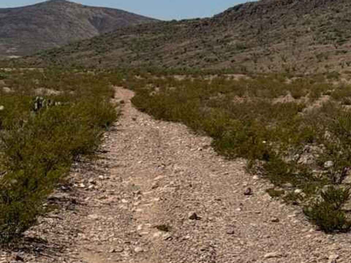
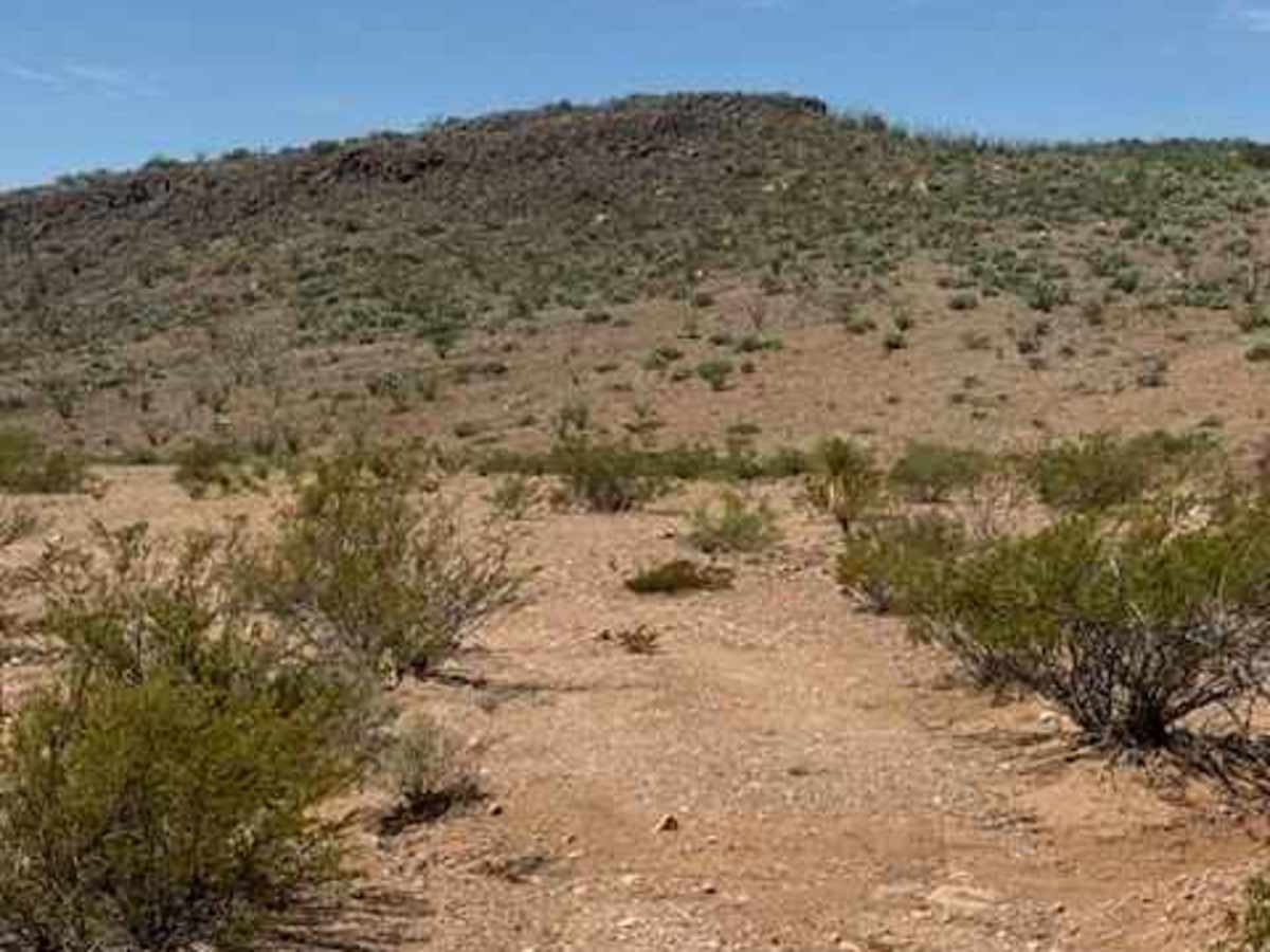
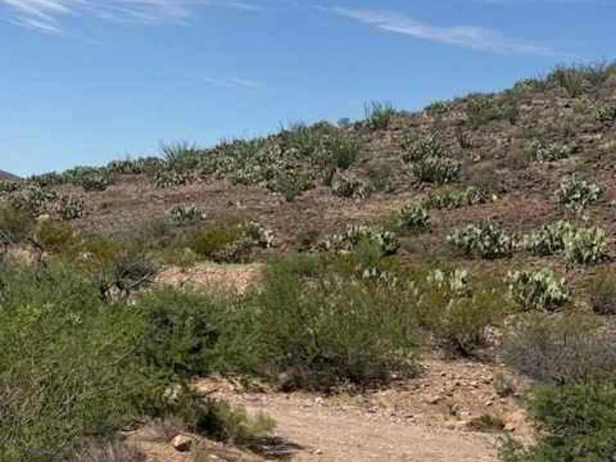
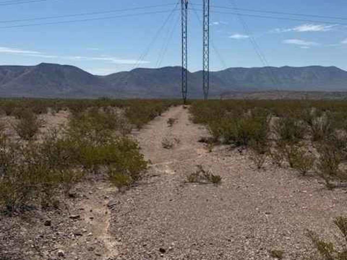
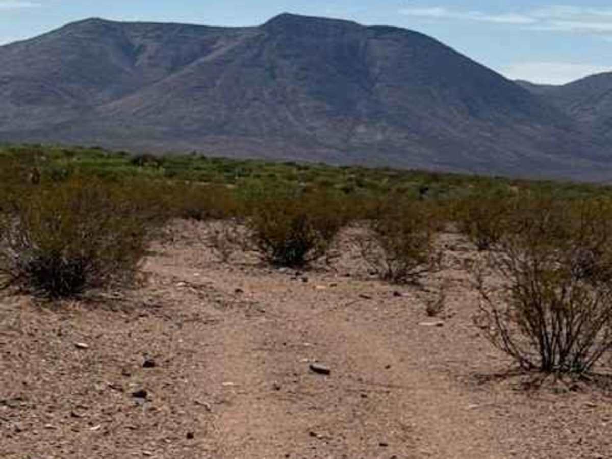
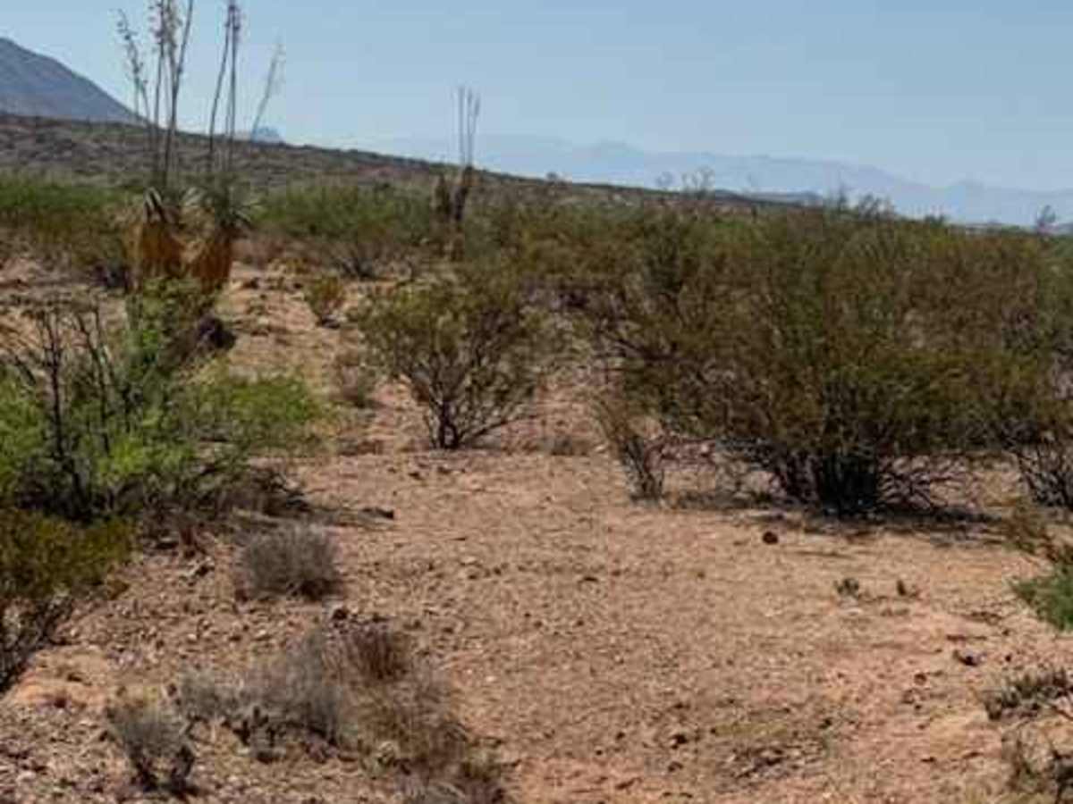
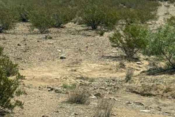
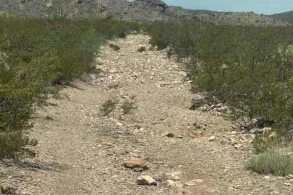
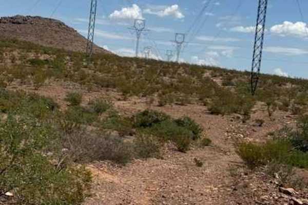
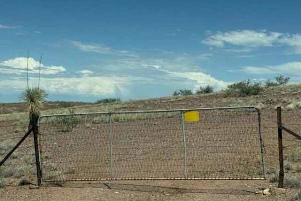
BLM SS1046B begins off SS1020 and travels south along a narrow 2-track gravel trail. The route starts with several drainage washouts and winds through desert vegetation including yucca, creosote, and mesquite trees. As the trail continues, look for the greenest trees marking the approach to a wash crossing. Large prickly pear clusters line the hillside in this section. After crossing the wash, the trail quickly turns left toward the power poles and transitions to a mostly natural surface with thicker brush and cactus. The trail follows the top of the creek with numerous S-curves through the desert. There are a few areas where pinstriping is possible, but no technical obstacles or significant challenges were encountered. The creek wash crossing may become impassable in wet conditions. There are numerous open areas along the route suitable for stopping, lunch, watching the sunset, or enjoying the mountain views. The trail eventually fades back into the surrounding landscape, with large trees and yucca marking the final section. The creek itself appears to offer an interesting area for further exploration on foot. But watch the ground-covering cactus. Especially pets and children.