Trail Overview
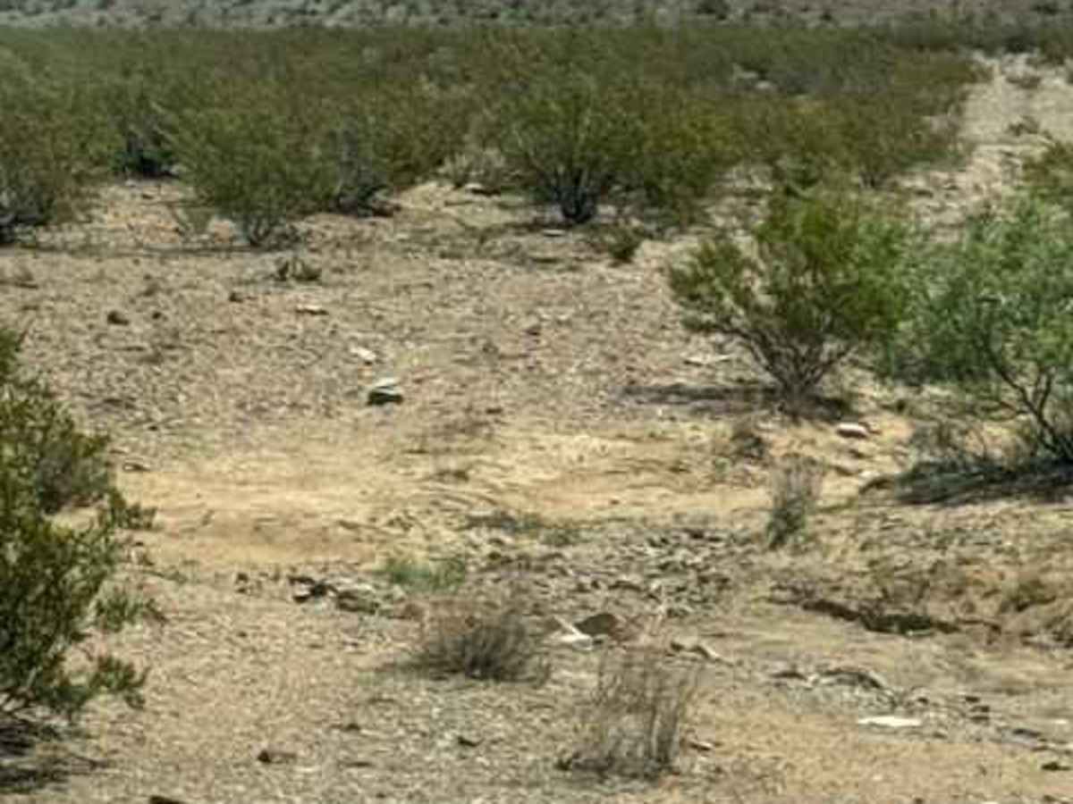
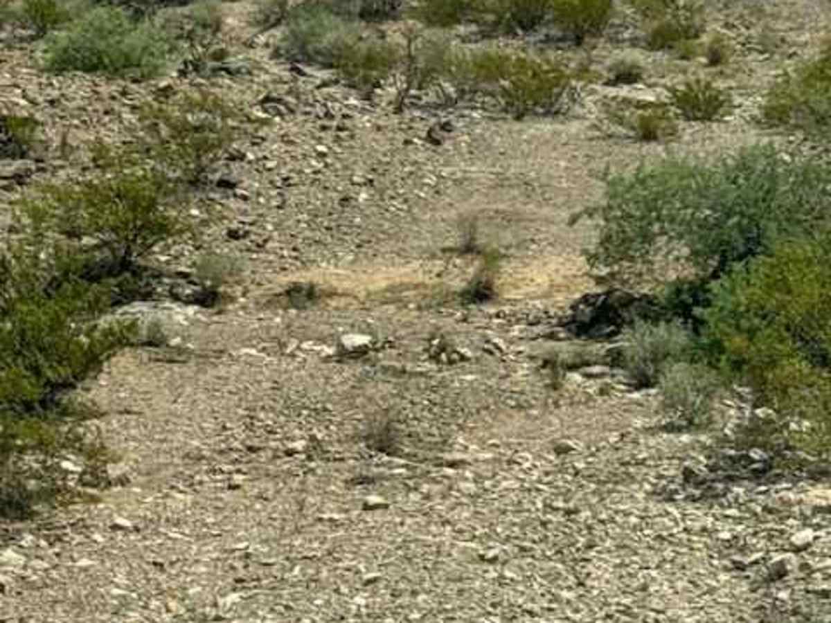
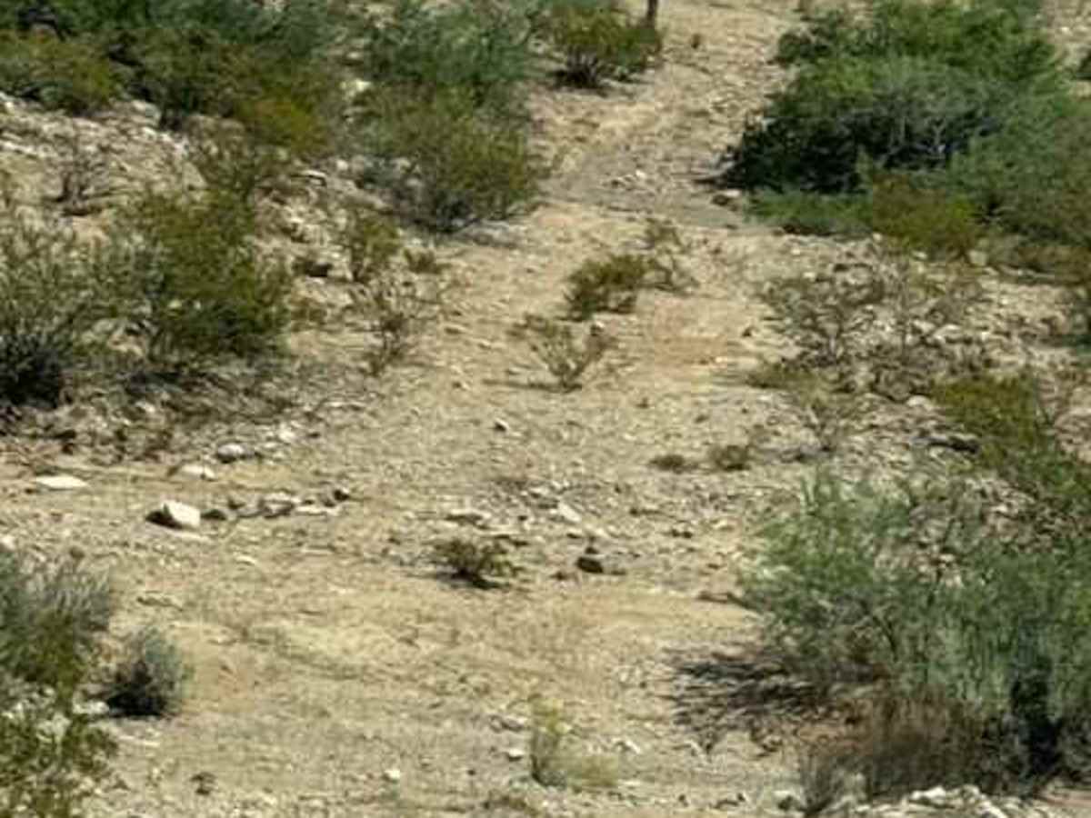
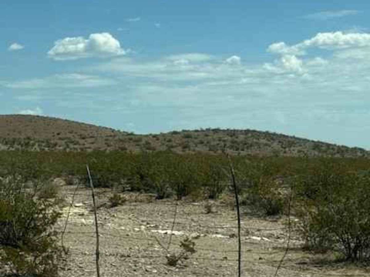
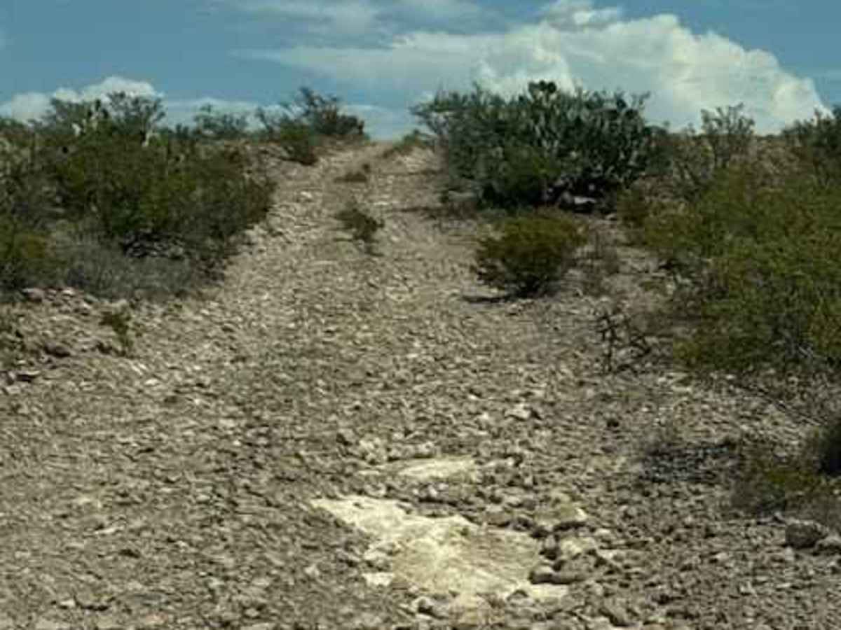
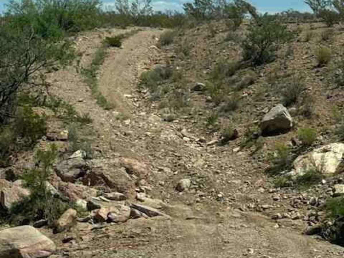
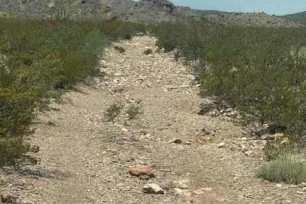
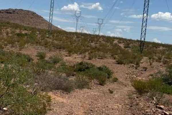
BLM SS1043 starts at SS1020, a naturally bumpy, loose-rock gravel trail. The section north of SS1020 has lots of water drainage ditches impassable in wet conditions and lots of washouts; other than the drainage, nothing technical just watch the trail and speed. The next section is on the south side of SS1020. A natural, bumpy gravel 2-track trail cuts between the mountains through natural terrain; follow adjacent to the power lines. Lots of low water crossings could be impassable in wet conditions. The trail will wind around the mountain and eventually return you to SS1020 on the east side, or you can turn left at the intersection and get on SS1044, which will take you out to Highway 70. There is one big creek crossing at the intersection of trails that could be impassable in wet conditions. Also, 4wd recommended, and high clearance is needed at this crossing. The east side of this trail is very washed out, with a small section of off-camber ruts. Nothing technical; just pay attention to where you put your wheels.