Trail Overview
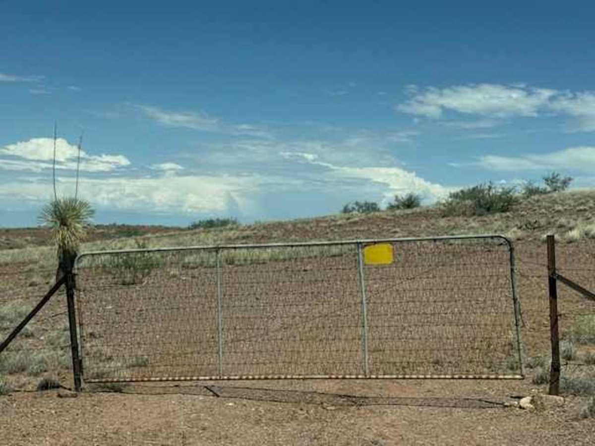
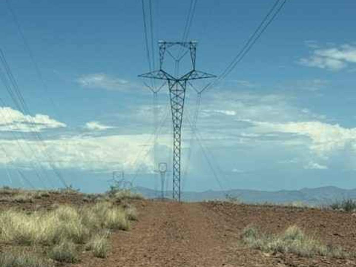
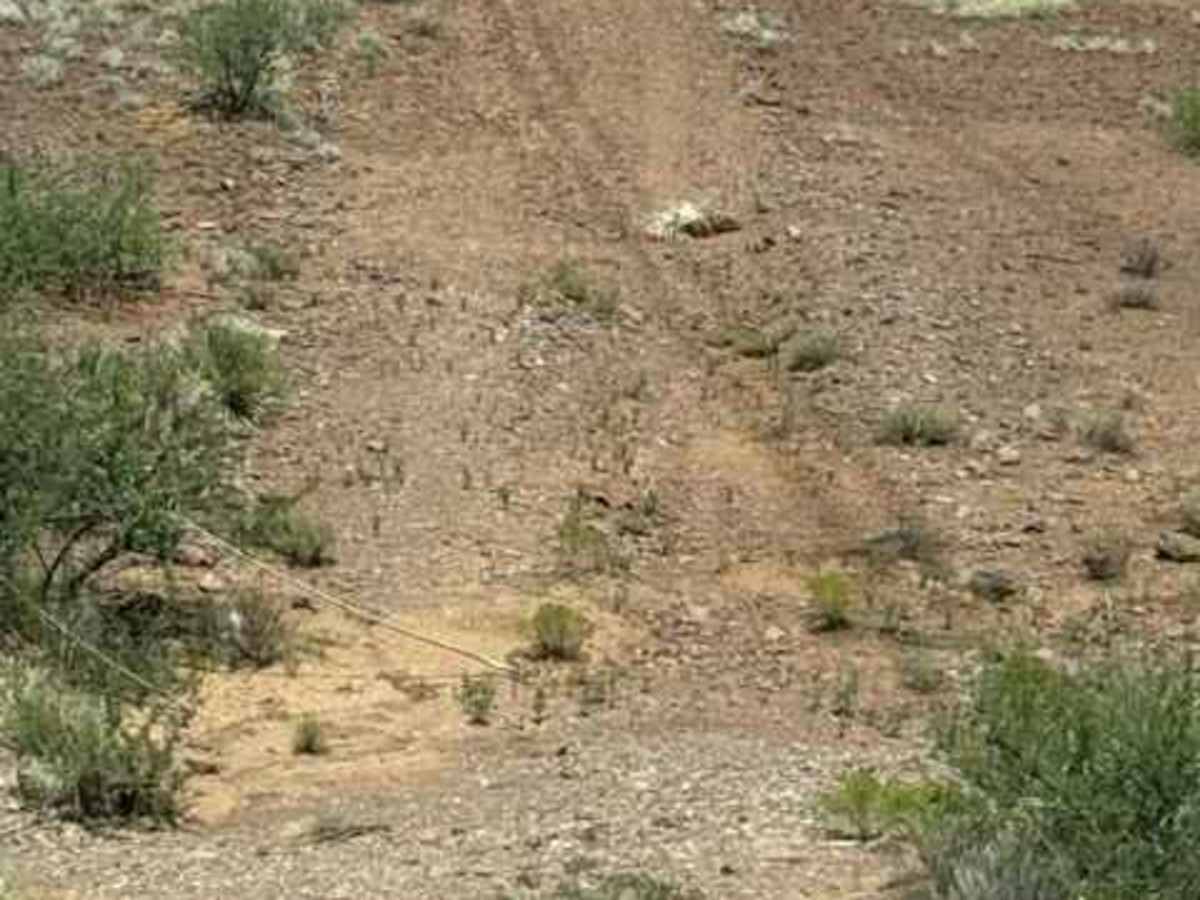
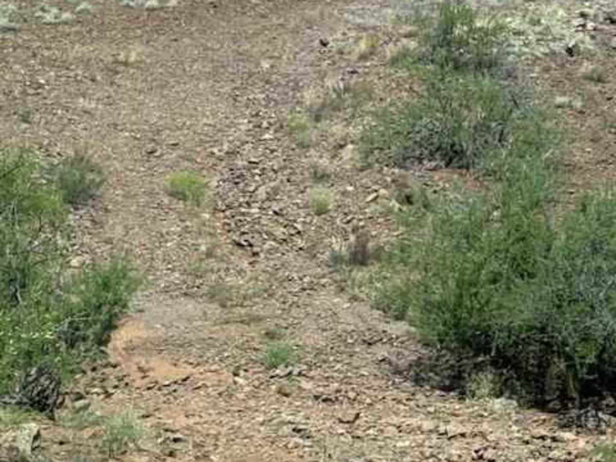
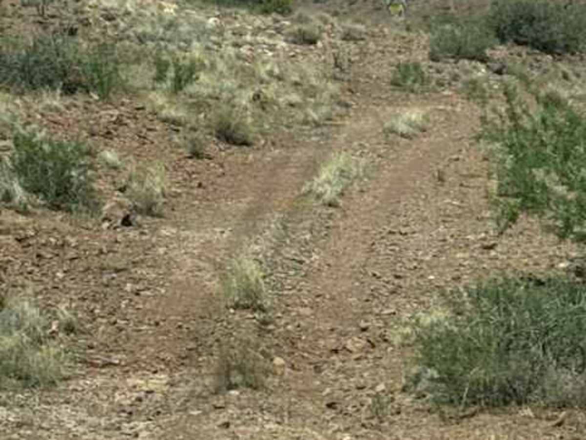
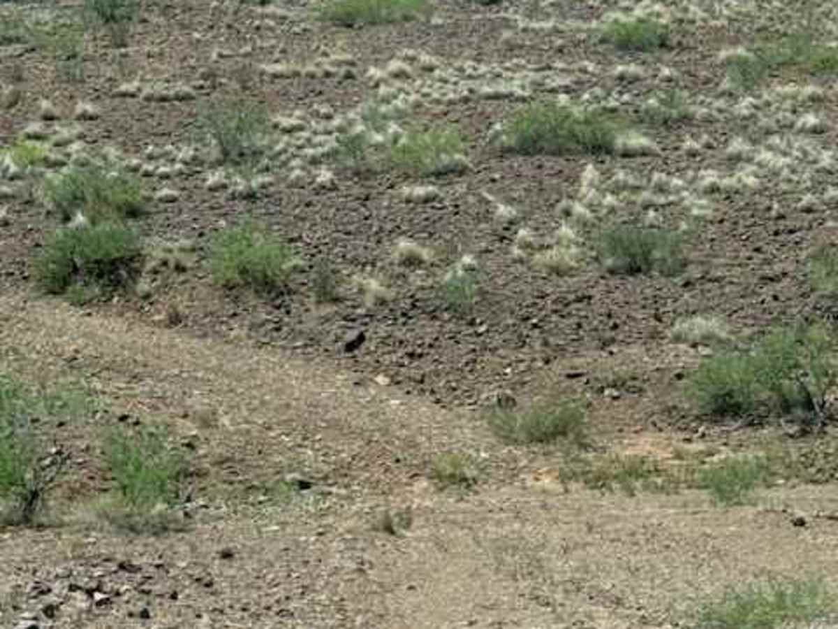
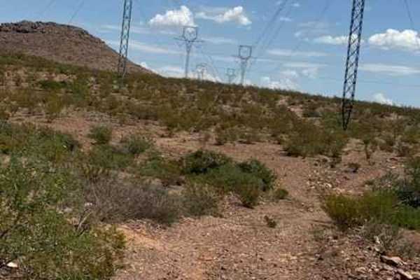
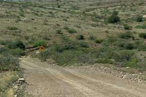
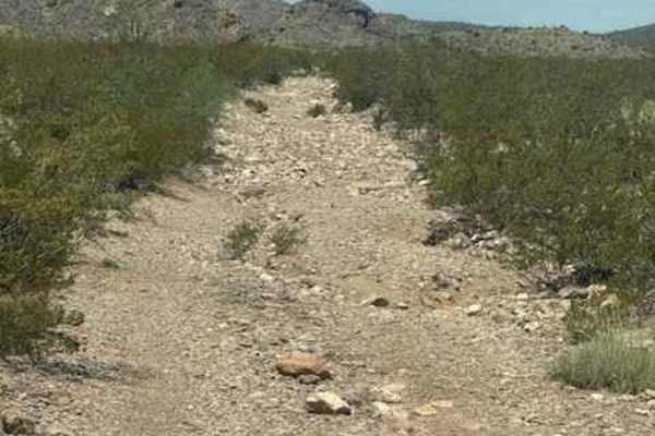
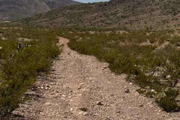
BLM PE1211 starts at a gate on the north side of Highway 70. Keep the gate closed. This trail will follow the Highway east and then curve north again, and it follows the power lines to the north. Lots of up-and-down hills, some steeper than others. This trail has large lava rock, approximately 6 inches, found on the trail. Eventually, it will wind around and drop down to the creek crossing, which could become impassable in wet conditions. Climbs back out of the creek on loose rock gravel to climb out. Trail views are beautiful; lots of open rolling valleys and hills to view. The trail winds down another hill with a ledge on one side, climbs down to another creek crossing, and then climbs back out and winds around 2 more hills and ends at private property. Nothing technical; no obstacles found, but future monsoon rain might change the creek crossings.
Difficulty
Nothing technical; no obstacles could become impassable in wet conditions, and monsoon conditions will change the creek crossings. You will find loose lava rock, gravel, and steep climbs and descents