Dirt Bike Trails
Near Montague, California
Explore All Dirt Bike Trails Near Montague, California
Dirt Bike Trails Near Montague, California
Discover the best dirt bike trails near you. Browse trail maps, check difficulty ratings, and find your next adventure — whether you're looking for a quick ride or an all-day expedition.
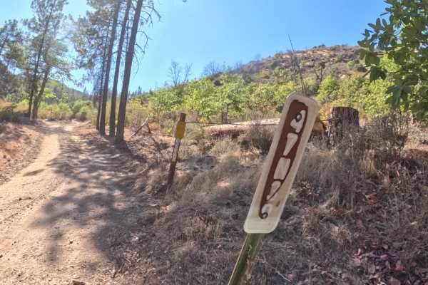
Fish Cove - FS 47N39
Fish Cove - FS 47N39 opens low along the Klamath River corridor in the Klamath National Forest, climbing away from the river through country still recovering from the 2022 McKinney Fire, where burned snags stand above thick regrowth of oak and shrubs. The first half is the steepest stretch, with sus...
Learn more about Fish Cove - FS 47N39
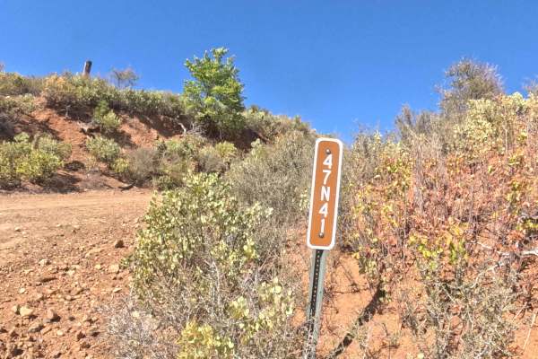
Fish Hatch - FS 47N41
Accessed directly off the primary FS 47N39 (Fish Cove Road) artery, Fish Hatch (FS 47N41) ascends as a scenic mountain spur providing access deeper into the upper slopes of the forest. The route traverses sun-drenched oak brush and dry conifer hillsides within the Klamath National Forest, opening up...
Learn more about Fish Hatch - FS 47N41
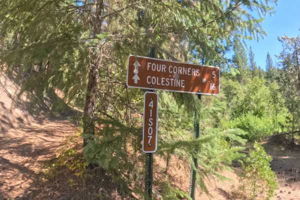
Grouse Ridge - FS 41S07
Forest Service Road 41S07, widely known as Grouse Ridge, functions as a scenic mountain-crossing connector route that bridges the rugged terrain between regions, allowing travelers to traverse the state line. Accessible via connecting backcountry forest tracks, this remote route serves as a peaceful...
Learn more about Grouse Ridge - FS 41S07
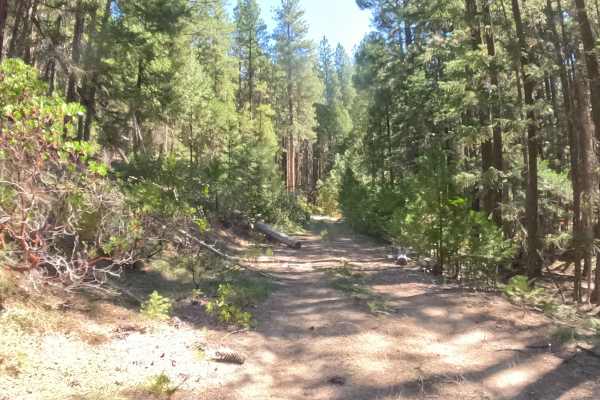
Graham - FS 48N31
Branching off main forestry arteries near North Hungry Tie (FS 48N30) and Forest Road 41S07, Graham (FS 48N31) extends as a secluded out-and-back spur leading deeper into the woods. The route passes beneath a shady woodland canopy of mature ponderosa pines, incense cedars, and thick native underbrus...
Learn more about Graham - FS 48N31
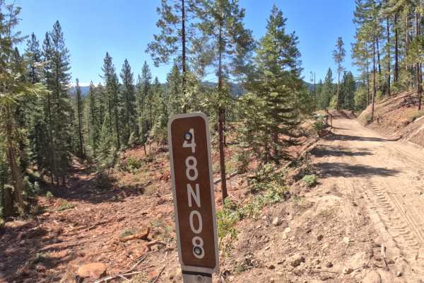
Arasta Creek - FS 48N08
Arasta Creek - FS 48N08 is a two-way, roughly 2.7-mile forest road that descends steadily from start to finish through mixed conifer forest in the Klamath National Forest. The hard-packed gravel and dirt surface has been reworked in places by recent logging activity, leaving some stretches noticeab...
Learn more about Arasta Creek - FS 48N08
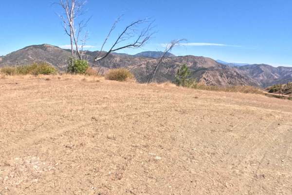
Round Mountain - FS 47N49
Branching off from the prominent junction of Forest Routes 40S01 and 47N40, Forest Service Road 47N49—also known as Round Mountain—serves as a brief, scenic connector route probing the heights of the Klamath National Forest. Be aware that there is no official trail sign marking the entrance, so care...
Learn more about Round Mountain - FS 47N49
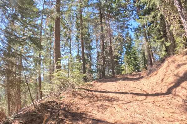
Hungry Creek Lookout - FS 48N32
Hungry Creek Lookout - FS 48N32 opens off an unmarked junction in the Klamath National Forest, so the entrance is easy to pass by without keeping an eye on the map. The short spur climbs through open stands of pine and fir on a hard-packed dirt surface, with the steepest pitch coming in the first st...
Learn more about Hungry Creek Lookout - FS 48N32
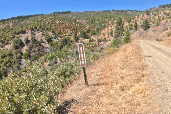
Pipeline - FS 47N40
Forest Service Road 47N40, widely known as the Pipeline, functions as a highly utilized backcountry connector weaving through the Klamath National Forest. This route snakes along the mountainside, transitioning beautifully between dense, shaded evergreen stands and expansive, open clearings resultin...
Learn more about Pipeline - FS 47N40
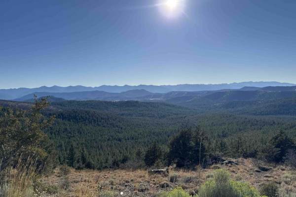
China Mountain - FS 41N03
The route begins in a stark but beautifully scenic forest recovering from wildfire, eventually transitioning into a lush, green canopy as it climbs higher into the Klamath National Forest. Starting from the Gazelle Callan Highway - FS 2H01, the first couple of miles cross a metal cattle guard and wi...
Learn more about China Mountain - FS 41N03
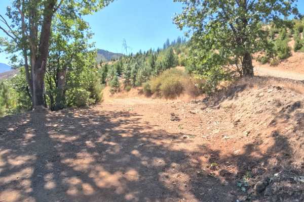
Pipeline Spur- FS 47N40B
Branching off into the secluded backcountry, Pipeline Spur - FS 47N40B serves as a lightly traveled, out-and-back forest trail. The route carves a meandering path along a scenic hillside, weaving through a dynamic environment that alternates between shaded, mixed pine timberlands and bright, exposed...
Learn more about Pipeline Spur- FS 47N40B
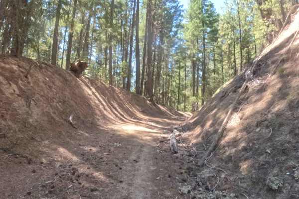
North Hungry Tie - FS 48N30
Accessed directly off Forest Road 41S07, North Hungry Tie (FS 48N30) extends as a quiet out-and-back forest spur leading deeper into the timberland. The route winds through a serene, pine-scented woodland dominated by mature ponderosas and Douglas firs within the Klamath National Forest. Backcountry...
Learn more about North Hungry Tie - FS 48N30
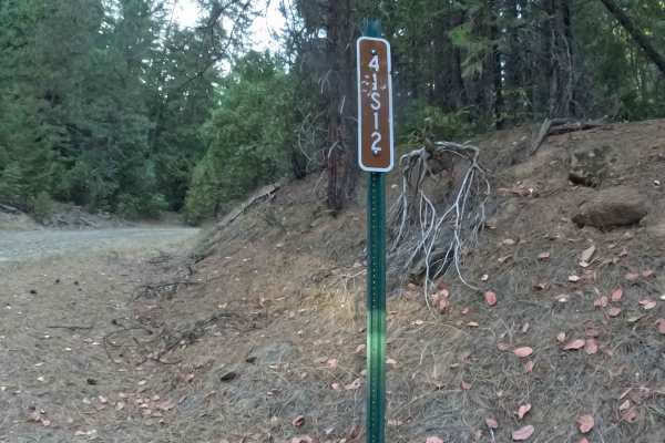
Lower Cow - FS 41S12
Forest Service Road 41S12, occasionally known as Lower Cow, is a scenic, lightly traveled connector route pushing deep into the rugged topography of the Klamath National Forest. Located within the region's vast network of dirt and gravel logging roads, this picturesque trail steadily meanders up the...
Learn more about Lower Cow - FS 41S12
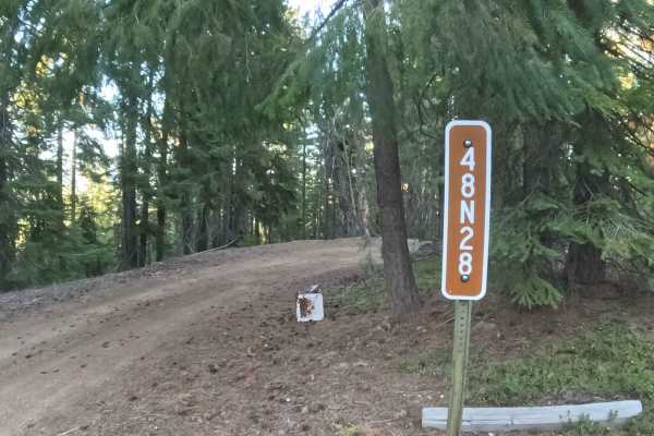
Cal Ore - FS 48N28
Functioning primarily as a rustic overland connection between Deer Creek Ridge - FS 48S15 and Lower Cow - FS 41S12, FS 48N28—often referred to as Cal Ore—guides travelers into the dense, tranquil backcountry. Tucked away within the lush, heavily shaded timber of the Klamath National Forest, this pic...
Learn more about Cal Ore - FS 48N28
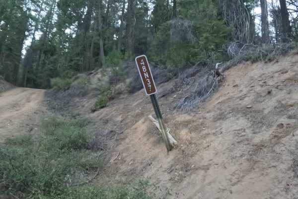
Saved Bacon - FS 48N37
Tucked away within the sprawling canopy of the Klamath National Forest, Forest Service Road 48N37—often referred to locally as Saved Bacon—functions as a short but vigorously undulating connector trail that routes travelers deeper into the secluded mountain backcountry. Branching off the wider arter...
Learn more about Saved Bacon - FS 48N37
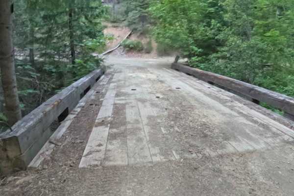
Bear Creek - FS 48N12
Joined directly off FS 48N25, Bear Creek (FS 48N12) ascends as a quiet mountain road providing access deeper into the surrounding timberland. The route winds through a lush mixed-conifer environment of Douglas firs, incense cedars, and vibrant leafy underbrush within the Klamath National Forest. Out...
Learn more about Bear Creek - FS 48N12
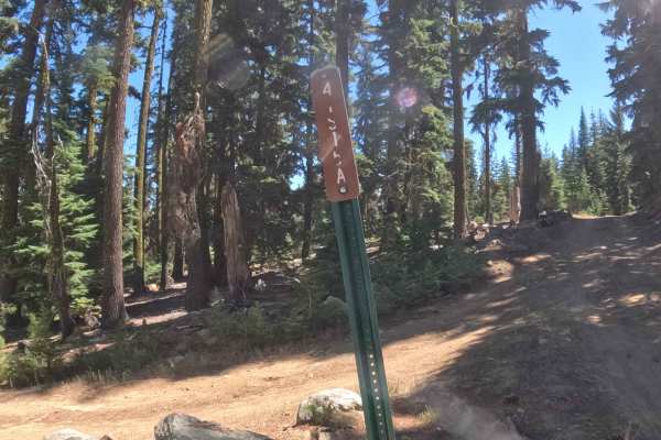
Deer Creek Ridge - FS 41S15
Forest Service Road 41S15, known as Deer Creek Ridge, acts as an expansive, high-elevation connector route that strings together remote backcountry paths while weaving across the state line between California and Oregon. This meandering ridge-top thoroughfare provides essential throughput for travel...
Learn more about Deer Creek Ridge - FS 41S15
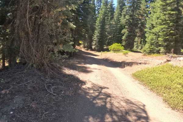
Dutch - FS 47N30Y
Tucked beneath a vibrant canopy of mature evergreens, Forest Service Road 47N30Y—locally known as Dutch—serves as a meandering backcountry connector route that carries travelers deeper into the National Forest road network. The pathway rolls continuously, offering a journey that seamlessly transitio...
Learn more about Dutch - FS 47N30Y
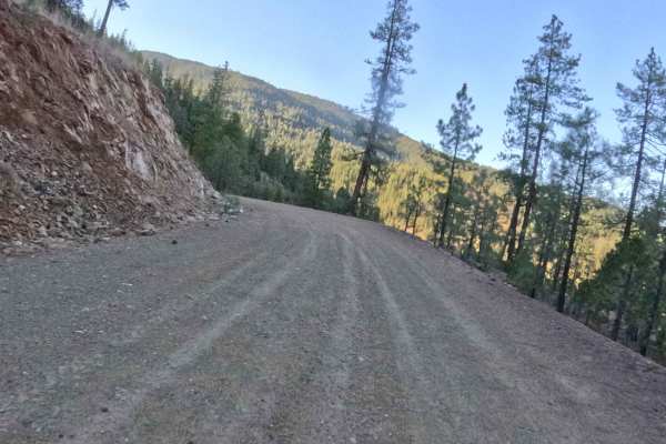
Beaver Trap - FS 48N25
FS 48N25, commonly referred to as Beaver Trap, operates as a lengthy, winding connector route that guides overlanders and backcountry explorers deep into the remote wilderness of the Klamath National Forest. This highly scenic, undulating track provides a true roller-coaster experience, characterize...
Learn more about Beaver Trap - FS 48N25
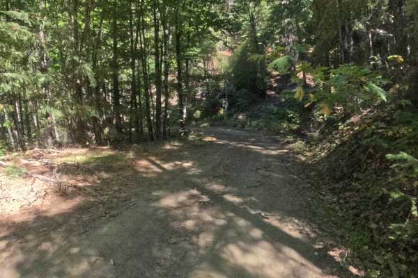
Jaynes - FS 47N52
Jaynes - FS 47N52 opens in a shaded, lush pocket of forest in the Klamath National Forest, running past several seasonal creeks that may or may not be carrying water depending on the time of year. A handful of small creek crossings interrupt the hard-packed gravel surface early on, and the lower, so...
Learn more about Jaynes - FS 47N52
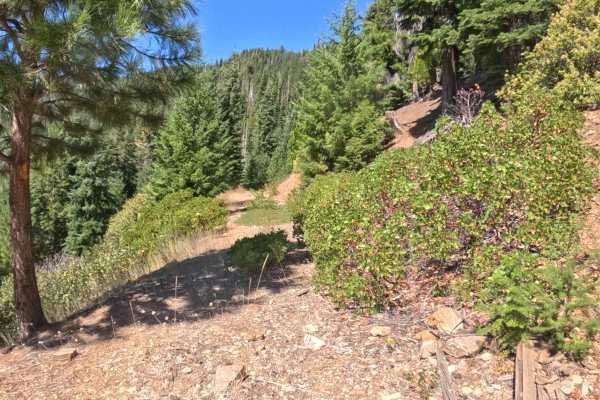
Trapper Point Spur A - FS 48N13A
Branching off main Forest Road 48N13 in the Trapper Point vicinity, Trapper Point Spur A (FS 48N13A) extends as a short, untamed out-and-back forest spur. The route passes through a quiet, mixed-conifer woodland featuring incense cedars, Douglas firs, and dense, brushy undergrowth within the Klamath...
Learn more about Trapper Point Spur A - FS 48N13A
ATV trails near Montague, California
Explore ATV-friendly trails near you. These trails are accessible for vehicles up to 50 inches wide, perfect for ATVs and smaller off-road machines.
Fish Cove - FS 47N39
Fish Cove - FS 47N39 opens low along the Klamath River corridor in the Klamath National Forest, climbing away from the river through country still recovering from the 2022 McKinney Fire, where burned snags stand above thick regrowth of oak and shrubs. The first half is the steepest stretch, with sus...
Learn more about Fish Cove - FS 47N39
Fish Hatch - FS 47N41
Accessed directly off the primary FS 47N39 (Fish Cove Road) artery, Fish Hatch (FS 47N41) ascends as a scenic mountain spur providing access deeper into the upper slopes of the forest. The route traverses sun-drenched oak brush and dry conifer hillsides within the Klamath National Forest, opening up...
Learn more about Fish Hatch - FS 47N41
Grouse Ridge - FS 41S07
Forest Service Road 41S07, widely known as Grouse Ridge, functions as a scenic mountain-crossing connector route that bridges the rugged terrain between regions, allowing travelers to traverse the state line. Accessible via connecting backcountry forest tracks, this remote route serves as a peaceful...
Learn more about Grouse Ridge - FS 41S07
Graham - FS 48N31
Branching off main forestry arteries near North Hungry Tie (FS 48N30) and Forest Road 41S07, Graham (FS 48N31) extends as a secluded out-and-back spur leading deeper into the woods. The route passes beneath a shady woodland canopy of mature ponderosa pines, incense cedars, and thick native underbrus...
Learn more about Graham - FS 48N31
UTV/side-by-side trails near Montague, California
Find UTV and side-by-side trails near you. These trails accommodate vehicles up to 60 inches wide, ideal for UTVs, side-by-sides, and wider off-road rigs.
Fish Cove - FS 47N39
Fish Cove - FS 47N39 opens low along the Klamath River corridor in the Klamath National Forest, climbing away from the river through country still recovering from the 2022 McKinney Fire, where burned snags stand above thick regrowth of oak and shrubs. The first half is the steepest stretch, with sus...
Learn more about Fish Cove - FS 47N39
Fish Hatch - FS 47N41
Accessed directly off the primary FS 47N39 (Fish Cove Road) artery, Fish Hatch (FS 47N41) ascends as a scenic mountain spur providing access deeper into the upper slopes of the forest. The route traverses sun-drenched oak brush and dry conifer hillsides within the Klamath National Forest, opening up...
Learn more about Fish Hatch - FS 47N41
Grouse Ridge - FS 41S07
Forest Service Road 41S07, widely known as Grouse Ridge, functions as a scenic mountain-crossing connector route that bridges the rugged terrain between regions, allowing travelers to traverse the state line. Accessible via connecting backcountry forest tracks, this remote route serves as a peaceful...
Learn more about Grouse Ridge - FS 41S07
Graham - FS 48N31
Branching off main forestry arteries near North Hungry Tie (FS 48N30) and Forest Road 41S07, Graham (FS 48N31) extends as a secluded out-and-back spur leading deeper into the woods. The route passes beneath a shady woodland canopy of mature ponderosa pines, incense cedars, and thick native underbrus...
Learn more about Graham - FS 48N31
The onX Offroad Difference
onX Offroad combines trail photos, descriptions, difficulty ratings, width restrictions, seasonality, and more in a user-friendly interface. Available on all devices, with offline access and full compatibility with CarPlay and Android Auto. Discover what you're missing today!
Open Trail Map