Trail Overview
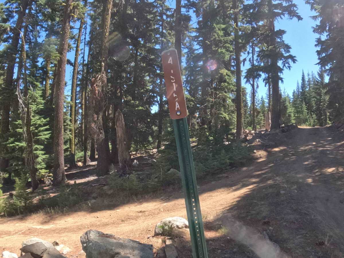
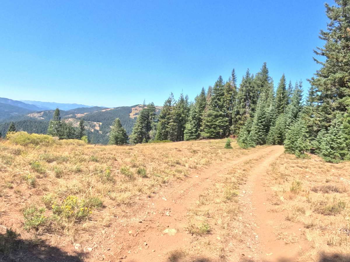
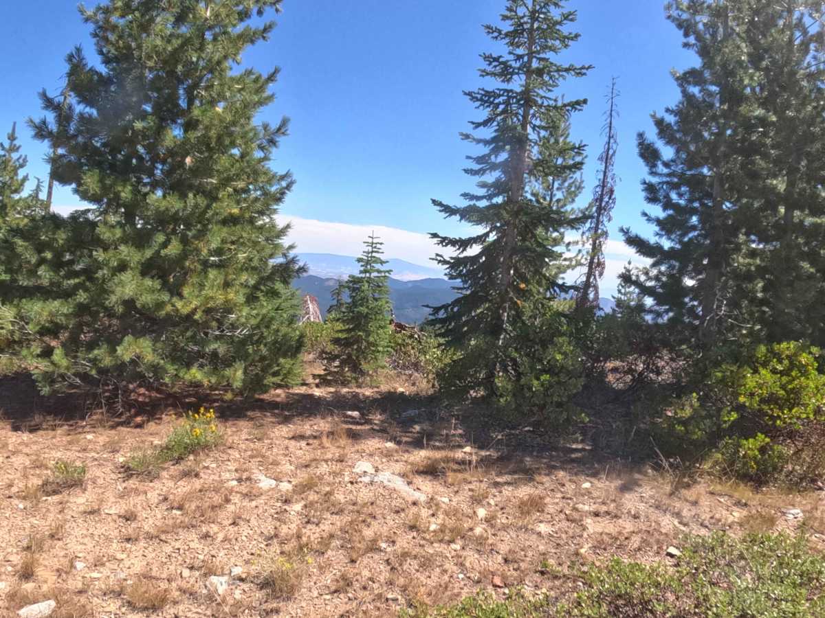
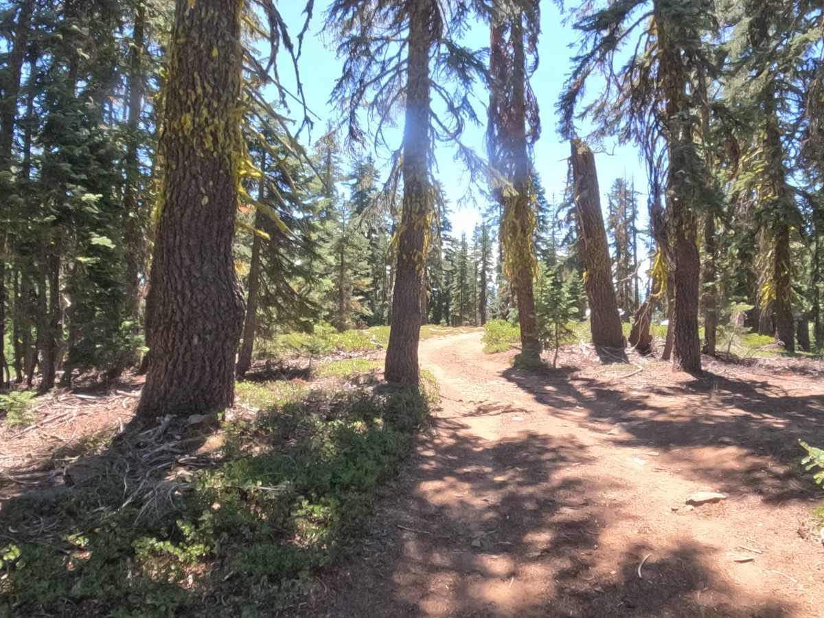
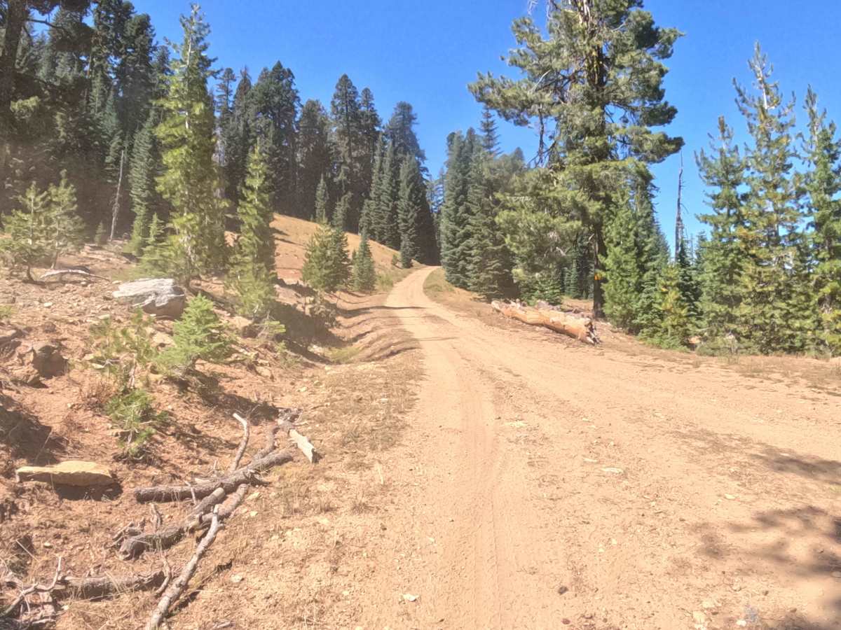
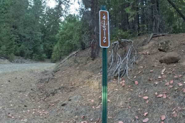
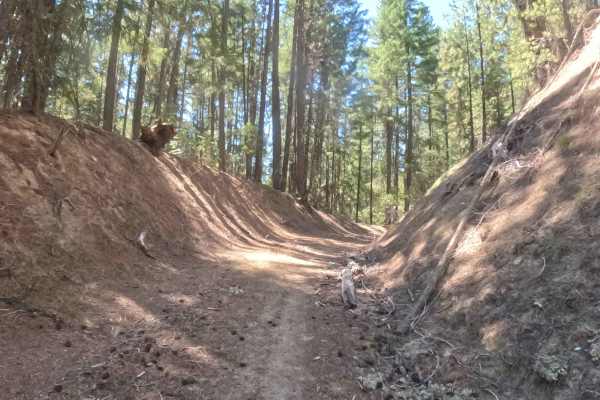
Forest Service Road 41S15, known as Deer Creek Ridge, acts as an expansive, high-elevation connector route that strings together remote backcountry paths while weaving across the state line between California and Oregon. This meandering ridge-top thoroughfare provides essential throughput for travelers seeking to navigate deeper into the remote mountain terrain. Managed by the Klamath National Forest, the route winds through a gorgeous, dense timberland that gradually opens up into sunlit, exposed alpine heights as it gains thousands of feet in elevation. Adventurers frequently utilize this sweeping pathway to enjoy breathtaking panoramic overlooks, experience long-distance ridge-line driving, and link up with surrounding backcountry arteries. Stacked timber bundles and occasional side-hill debris line portions of the corridor, reminding drivers of active management in the area.
Difficulty
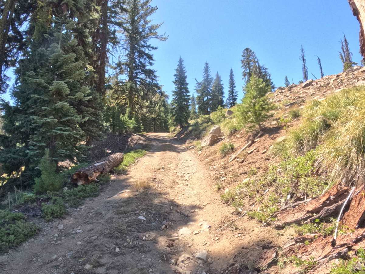
Earning a manageable difficulty rating of 2, this extended route transitions from a packed dirt base into an increasingly rocky surface featuring embedded stones as the elevation climbs. The continuous ascent features a multitude of blind, sweeping corners where outward visibility remains limited, requiring reduced speeds and attentive steering. While major obstacles are absent, motorists should remain vigilant for stray boulders that occasionally roll down the steep hillsides onto the driving path, alongside narrow single-vehicle pinch points that demand careful pacing and steady momentum.