Trail Overview
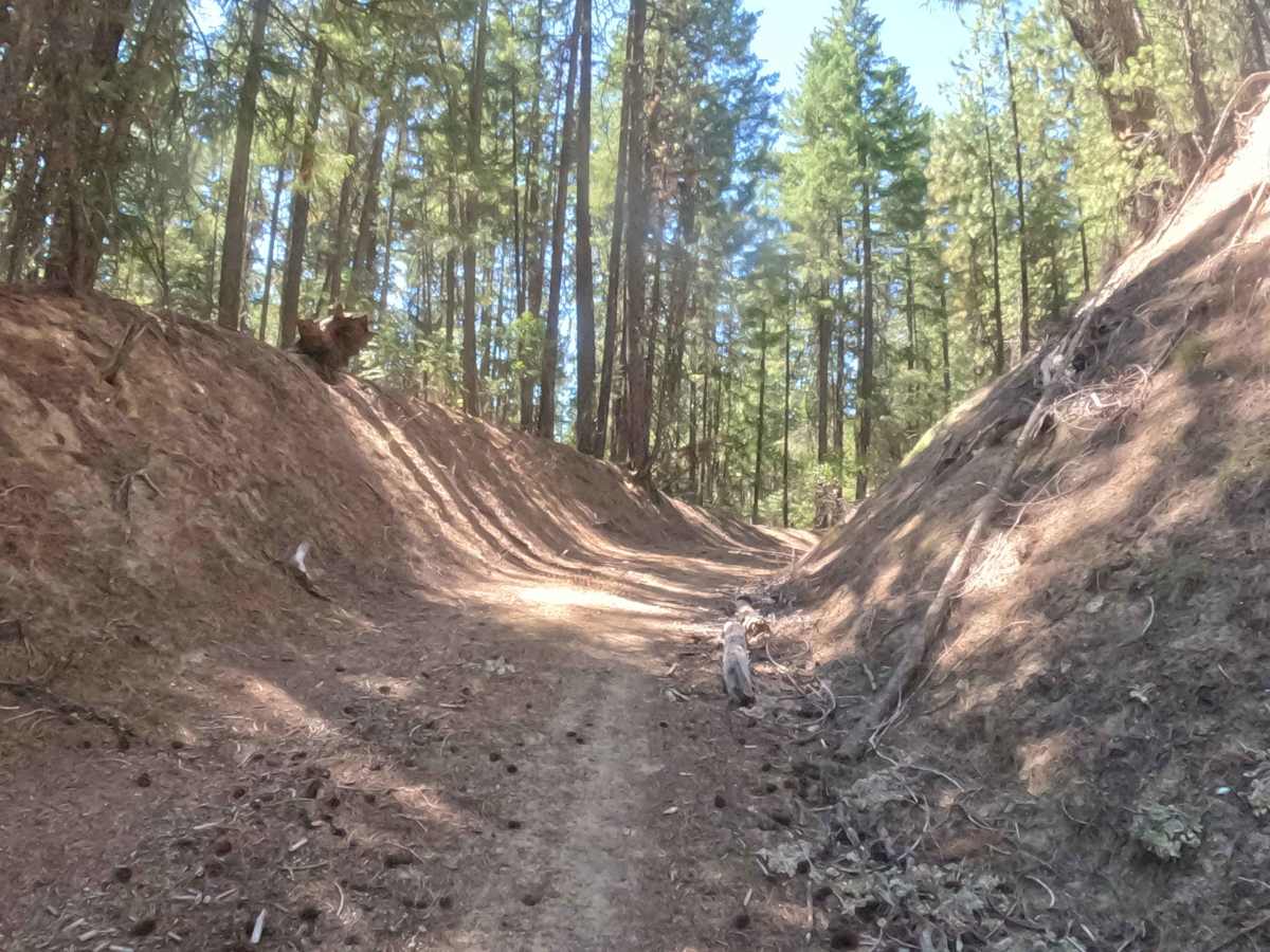
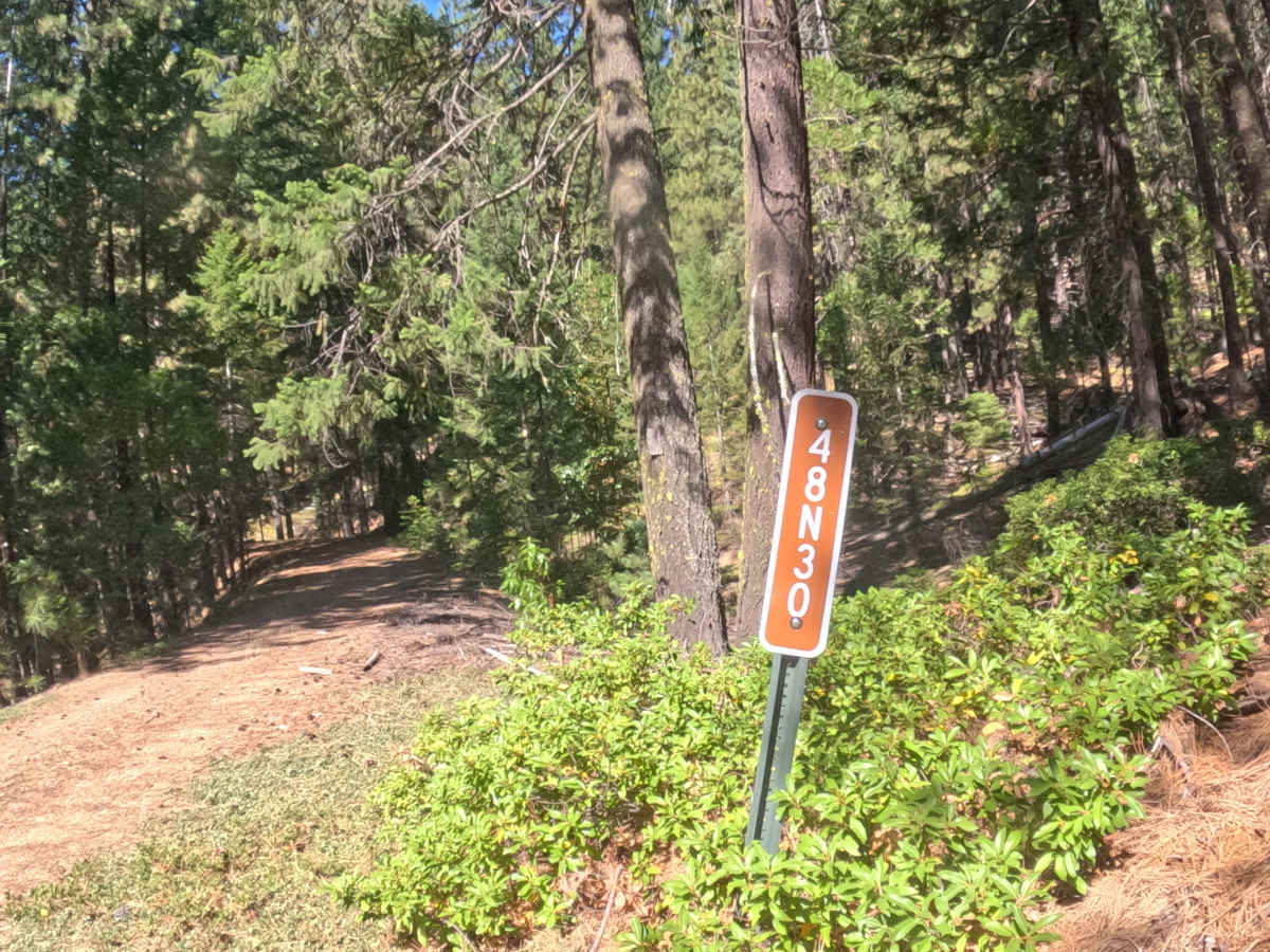
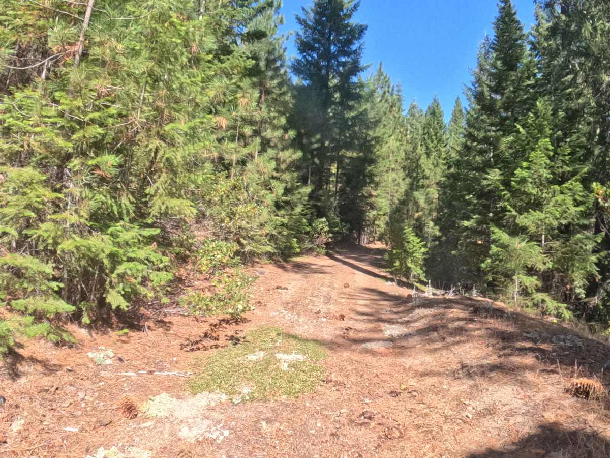
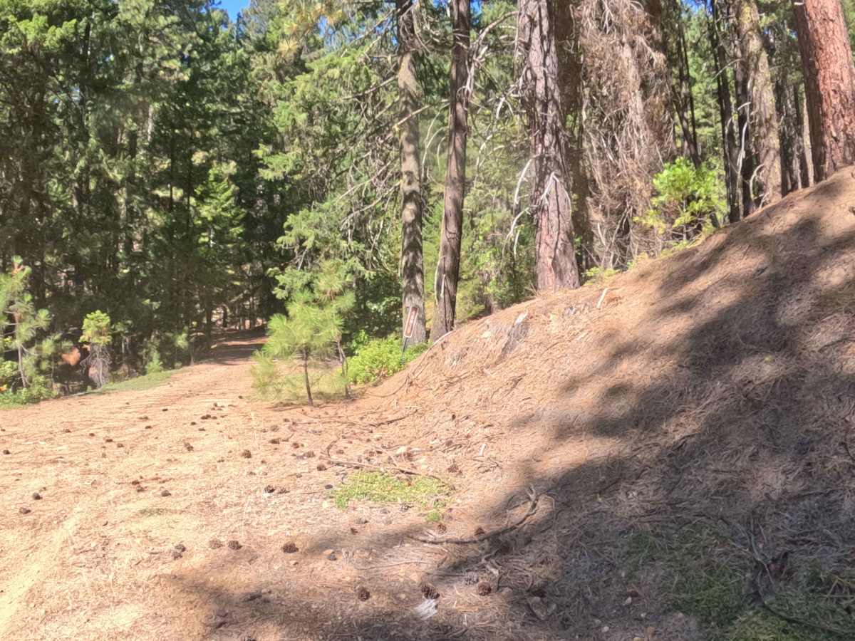
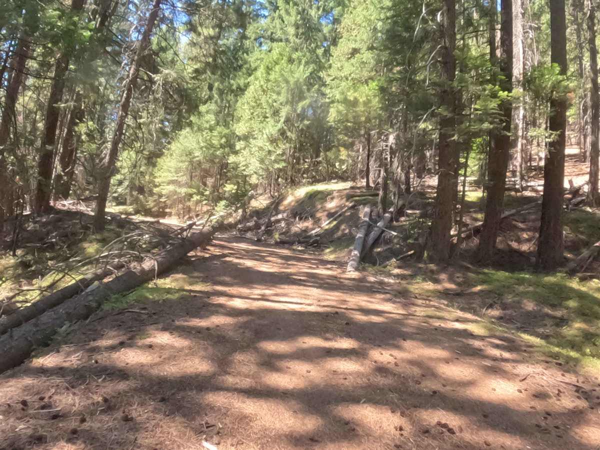
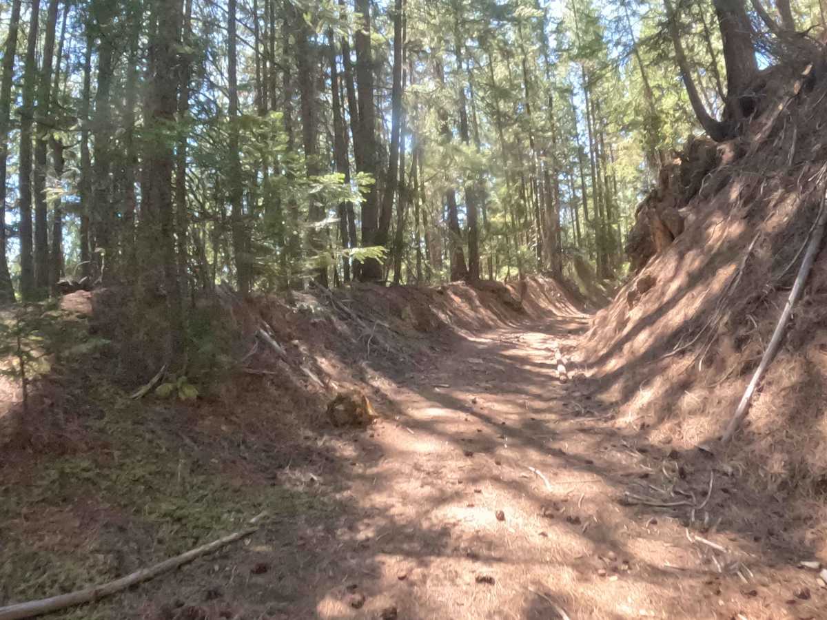
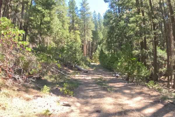
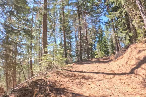
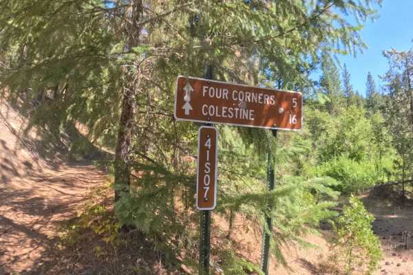
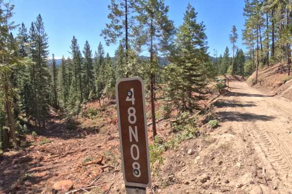
Accessed directly off Forest Road 41S07, North Hungry Tie (FS 48N30) extends as a quiet out-and-back forest spur leading deeper into the timberland. The route winds through a serene, pine-scented woodland dominated by mature ponderosas and Douglas firs within the Klamath National Forest. Backcountry drivers, hunters, and outdoor enthusiasts primarily explore this secluded path seeking solitude, dispersed camping spots, or access toward surrounding mountain ridges. While no official foot trailheads start directly along this route, several informal cutoffs branch off the main line, requiring careful navigation to stay on course. The driving surface consists of a relatively flat mix of hard-packed dirt and gravel, with an accessible Grade 2 difficulty rating. Because this pathway sees infrequent maintenance, drivers should anticipate scattered forest debris, shallow rain ruts, and low-sweeping tree branches. Continuing beyond the mapped section, this tranquil spur provides a pleasant, low-stress detour into the woods.
Difficulty
This gentle forest spur offers a level and predictable dirt-and-gravel base. Advanced off-road obstacles like large boulder steps, deep mud pits, or steep shelf drop-offs are completely non-existent along the tread. The primary driving considerations involve steering around scattered branches, navigating minor rain ruts, and watching overhead clearance where low limbs extend over the roadbed. Maintaining a slow, steady speed allows ample time to select a smooth path and navigate cutoffs accurately. Standard factory ground clearance is entirely sufficient to complete the drive safely.