Trail Overview
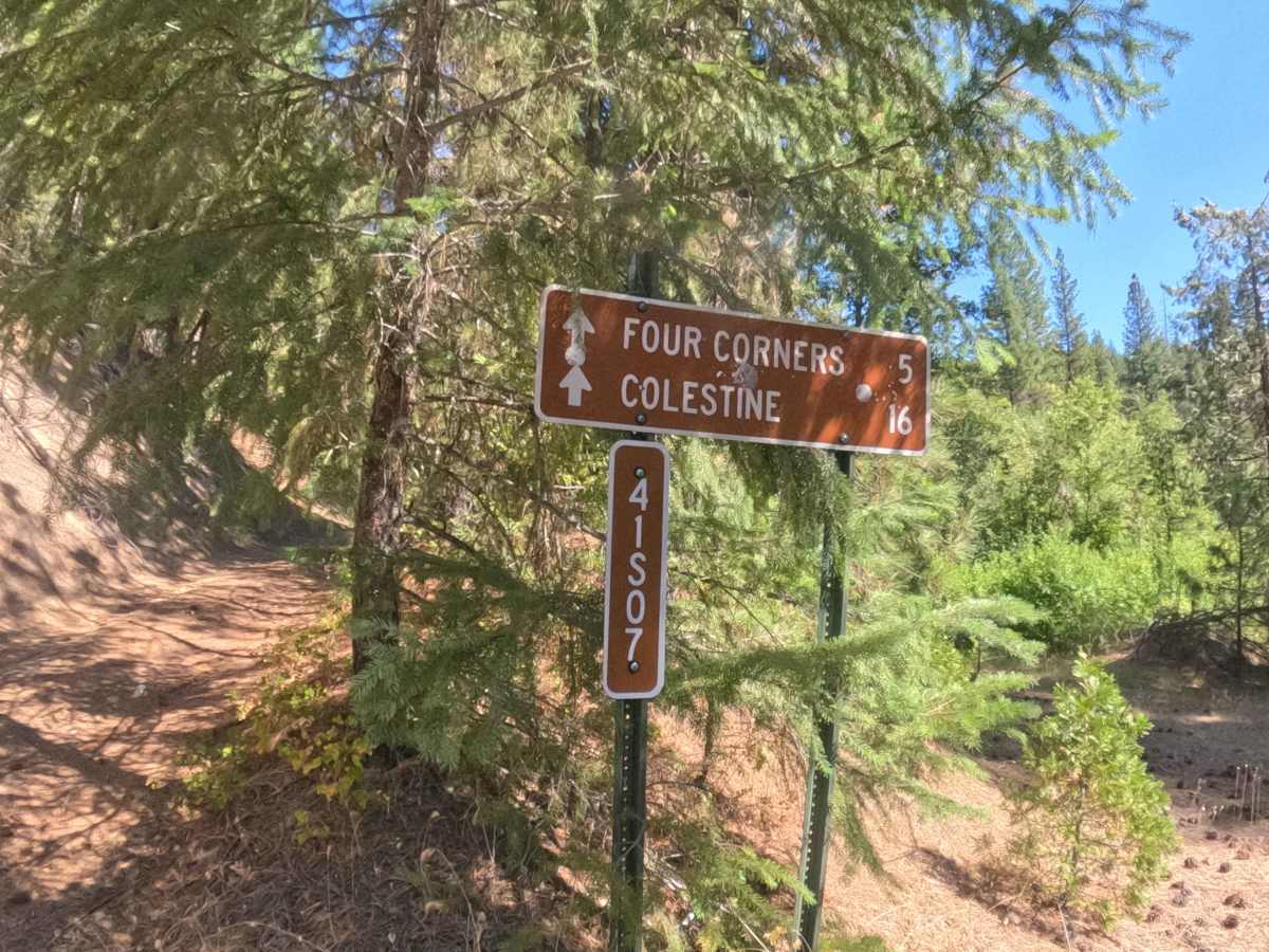
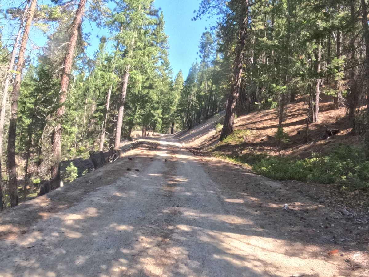
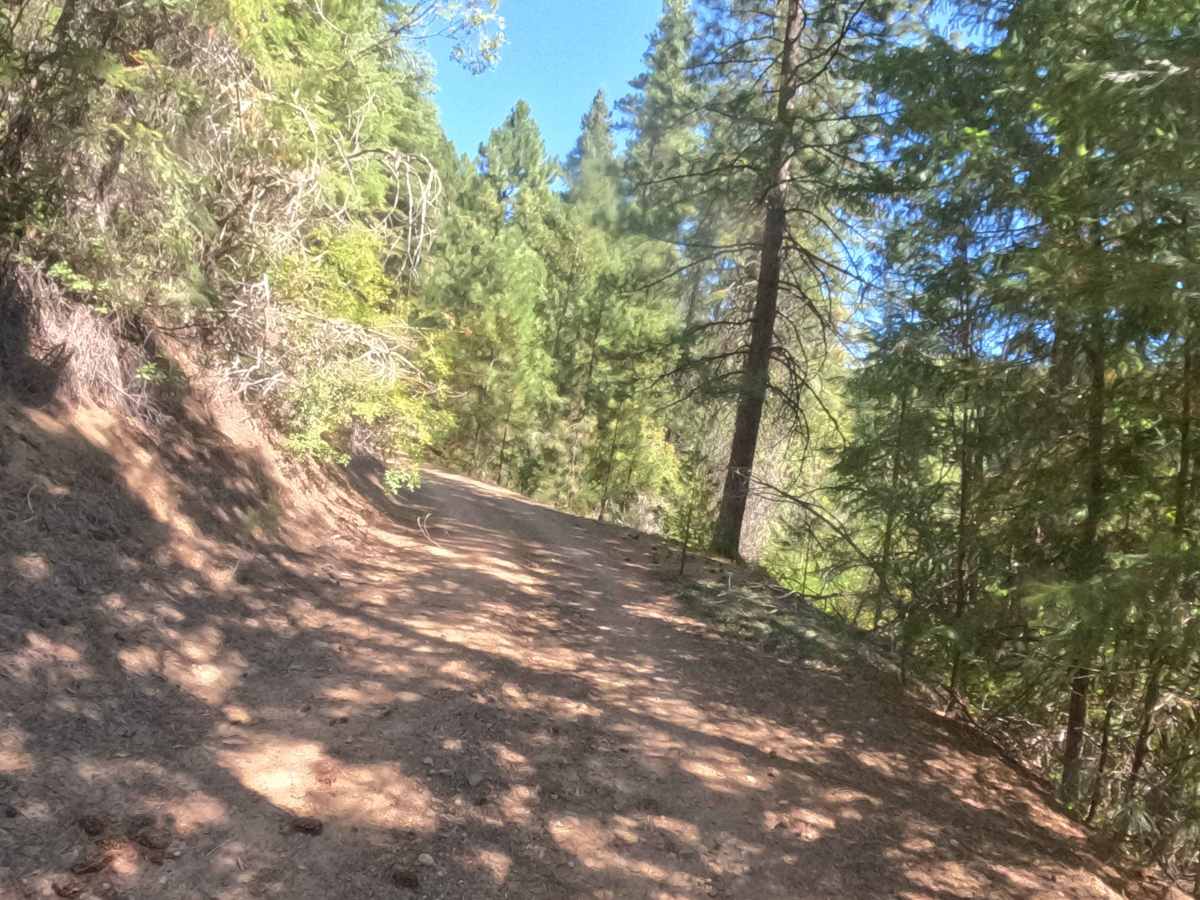
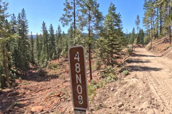
Forest Service Road 41S07, widely known as Grouse Ridge, functions as a scenic mountain-crossing connector route that bridges the rugged terrain between regions, allowing travelers to traverse the state line. Accessible via connecting backcountry forest tracks, this remote route serves as a peaceful thoroughfare for adventurers seeking to explore deeper into the expansive wilderness. Traversing the rugged mountain terrain managed by the Klamath National Forest, the route winds through a dynamic environment that shifts from dense, shaded evergreen timber on one side to an open, exposed landscape of scattered granite on the other. Because this single-lane corridor sees very light traffic, it offers a tranquil escape for motorists wanting to experience a raw, untouched mountain passage.
Difficulty
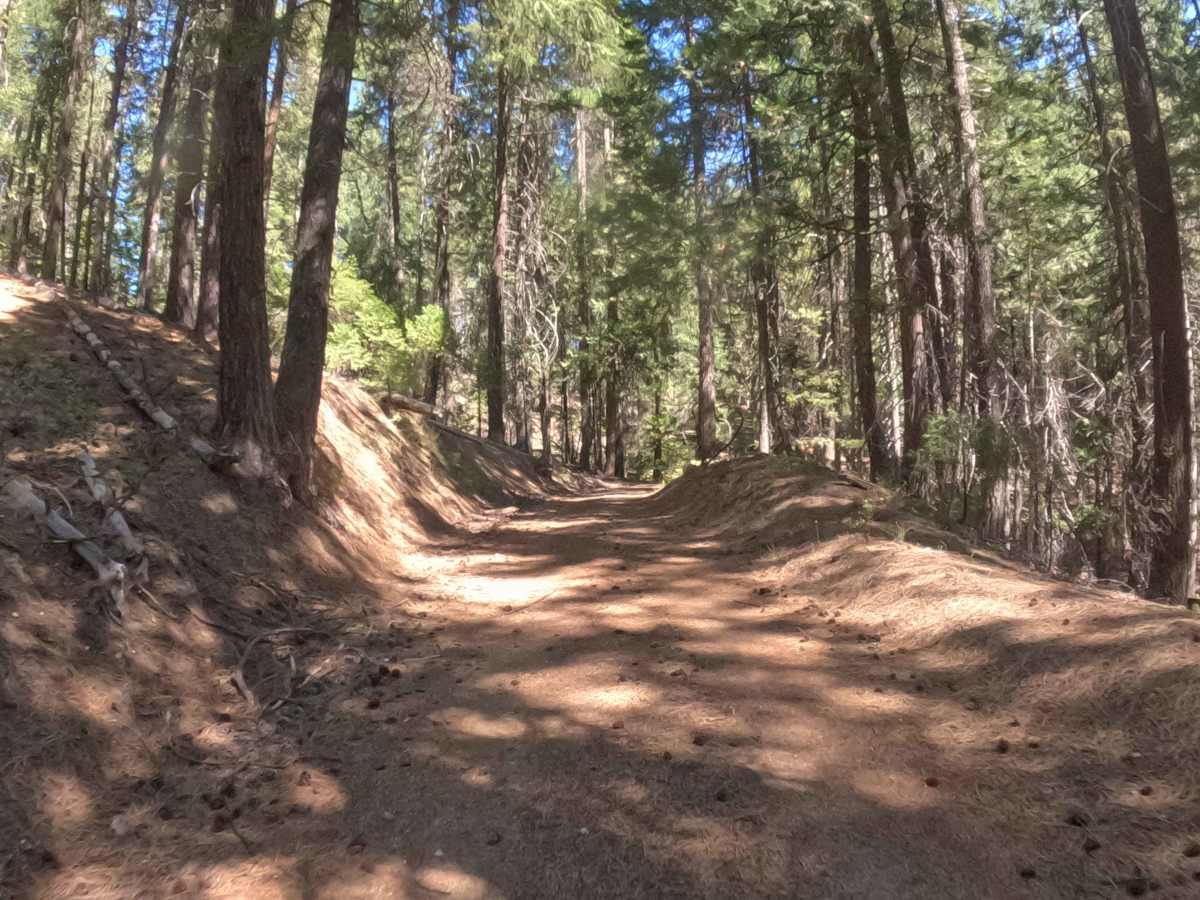
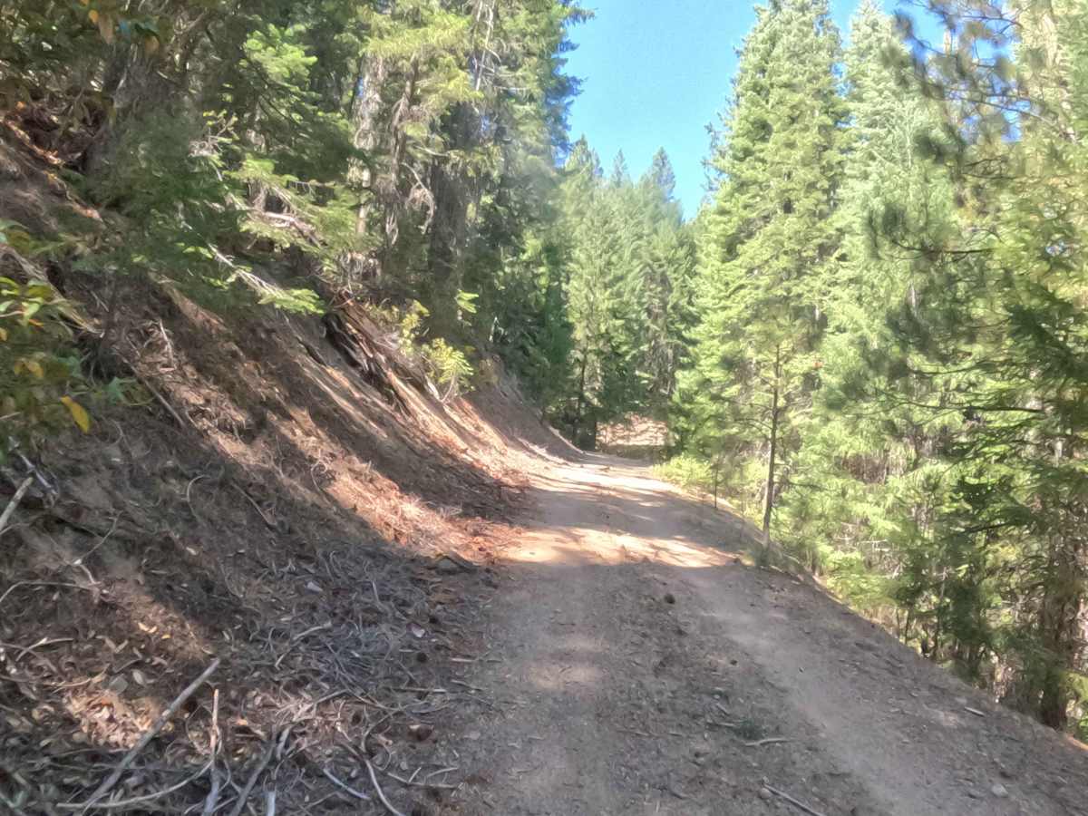
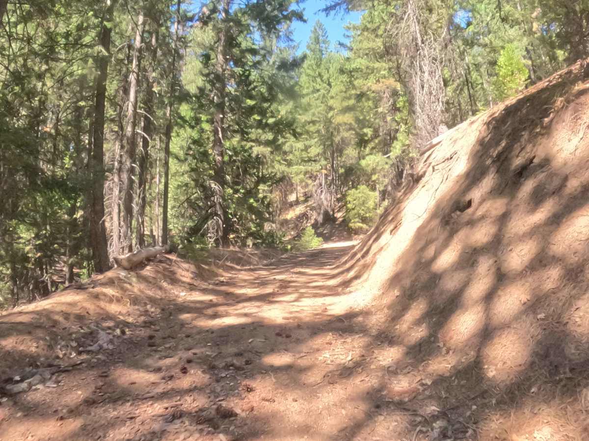
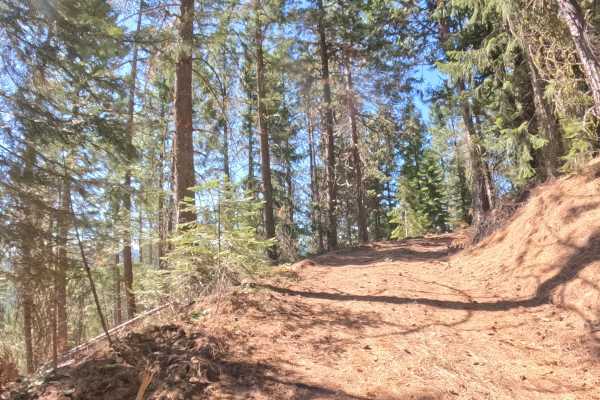
Assigned a modest difficulty rating of 2, this single-lane unpaved connector features a transitioning surface of hard-packed dirt and loose granite gravel. Maintaining a relatively steady grade of 3% to 5%, the track winds continuously with numerous blind corners that restrict forward visibility. Motorists must exercise extra vigilance, keep speeds low, and watch for scattered natural debris along the soft shoulders. A smooth, cautious momentum ensures a comfortable journey over the uneven terrain without straining the vehicle.

 Offroad