Trail Overview
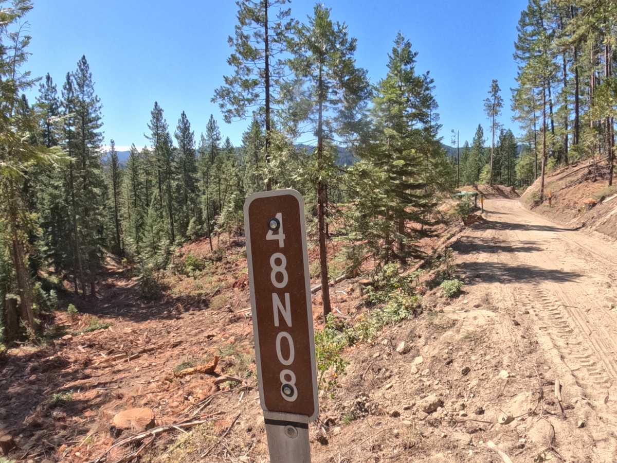
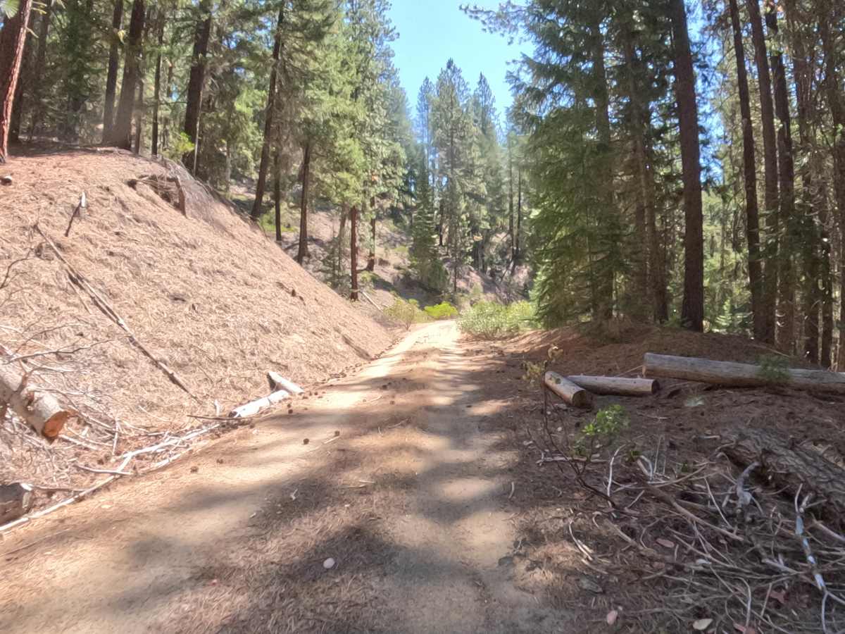
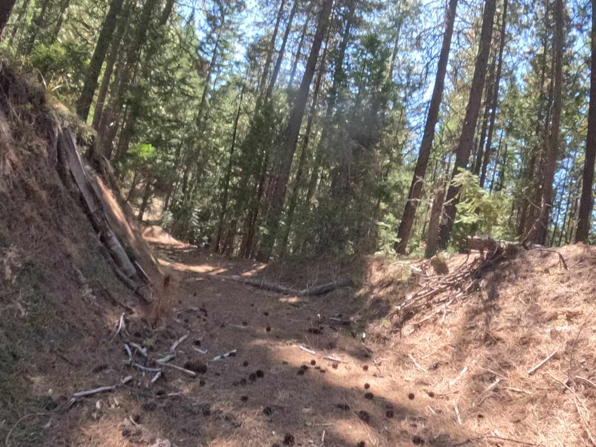
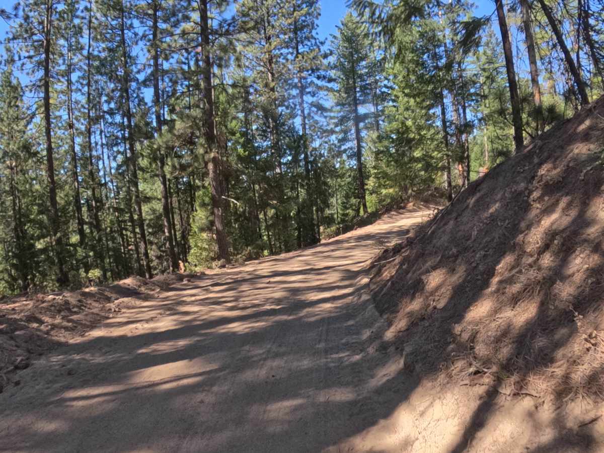
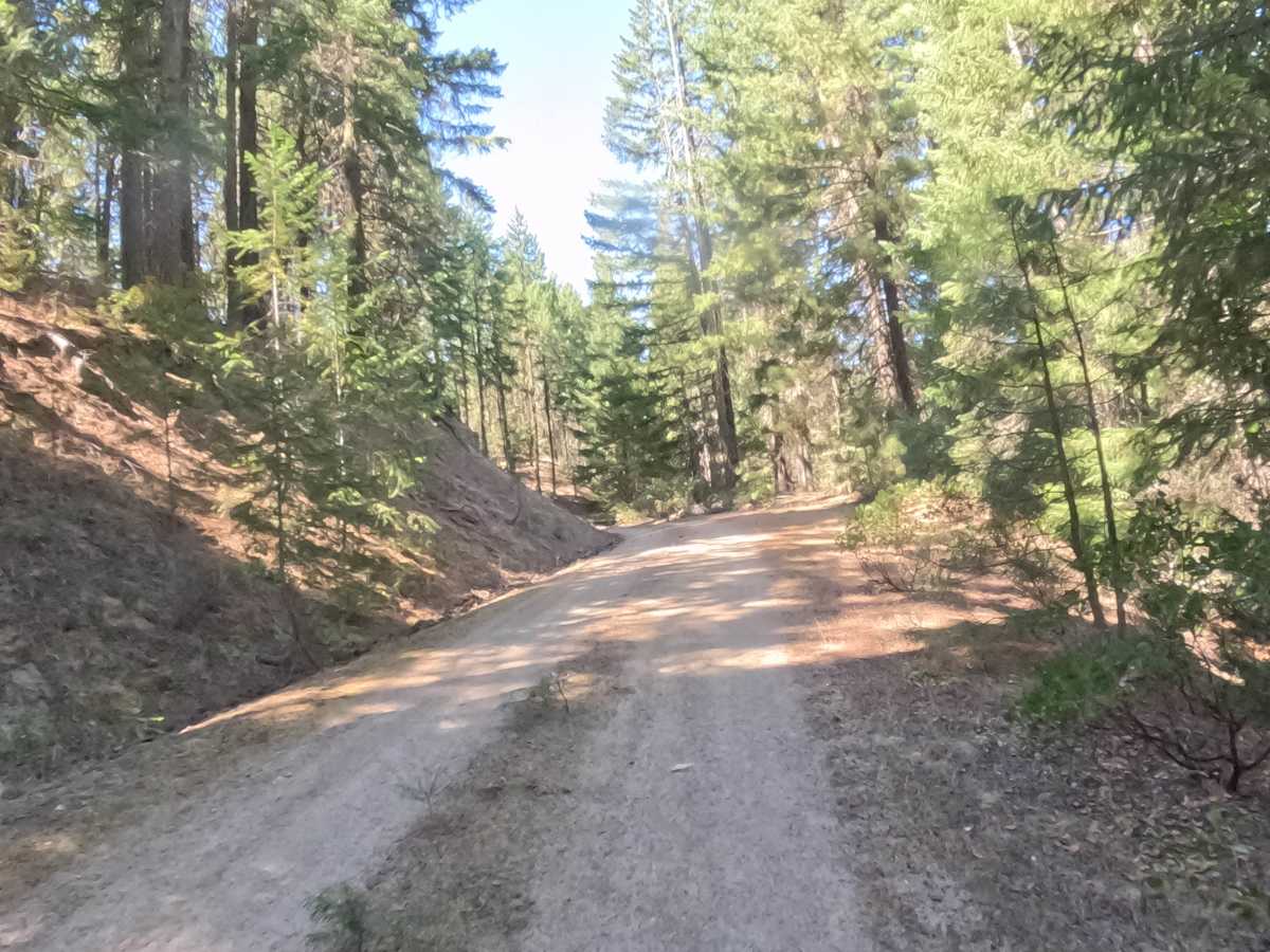
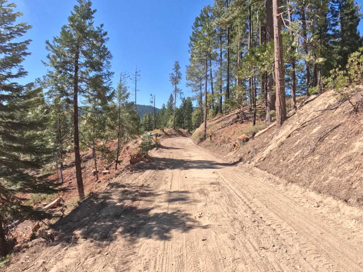
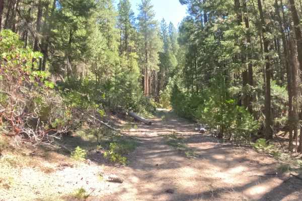
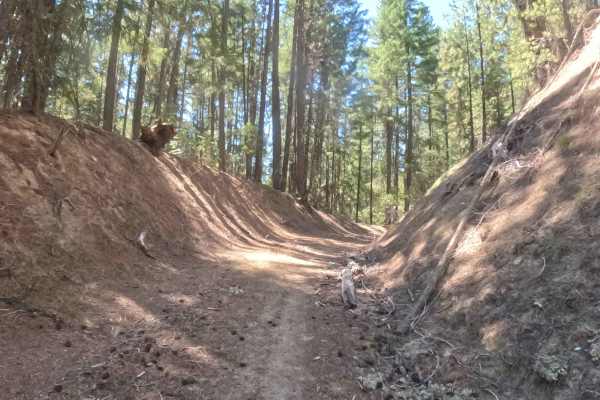
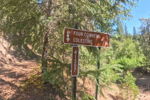
Arasta Creek - FS 48N08 is a two-way, roughly 2.7-mile forest road that descends steadily from start to finish through mixed conifer forest in the Klamath National Forest. The hard-packed gravel and dirt surface has been reworked in places by recent logging activity, leaving some stretches noticeably looser and more powdery, a condition that becomes more pronounced through summer as the ground dries out. Scattered rain ruts cross the roadbed at several points and add texture without presenting any real technical challenge. A trail sign marks the start and confirms the road number, but farther in the route narrows and blends into the surrounding terrain in a few unmaintained stretches, so drivers should watch closely for the correct path. Best driven from summer through fall.
Difficulty
Rated a 2, and that comes mostly from surface conditions rather than any single obstacle. Sections loosened by recent logging can get powdery and call for a bit more throttle control, and scattered rain ruts cross the road at several points, adding roughness without ever demanding technical maneuvering. Nothing here rises to the level of a true obstacle, which is why the rating stays low, though the unmaintained, harder-to-follow stretches farther in call for extra attention to route-finding rather than to the vehicle.

 Offroad