Trail Overview
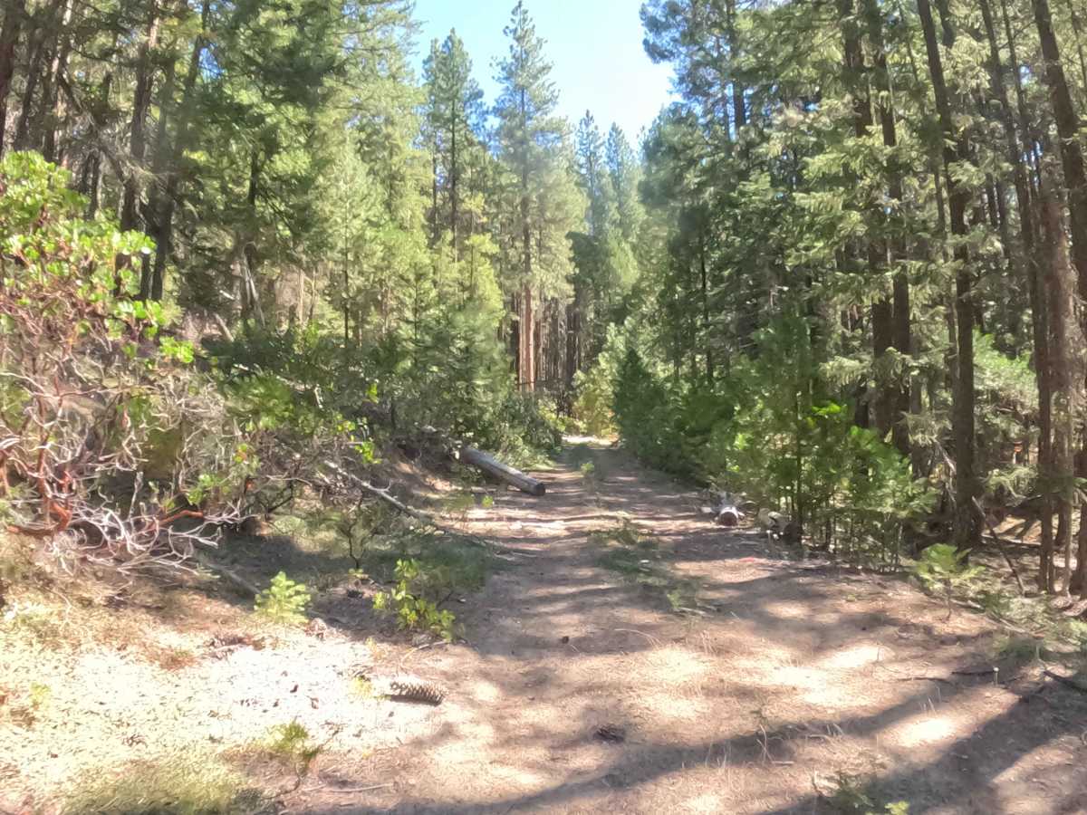
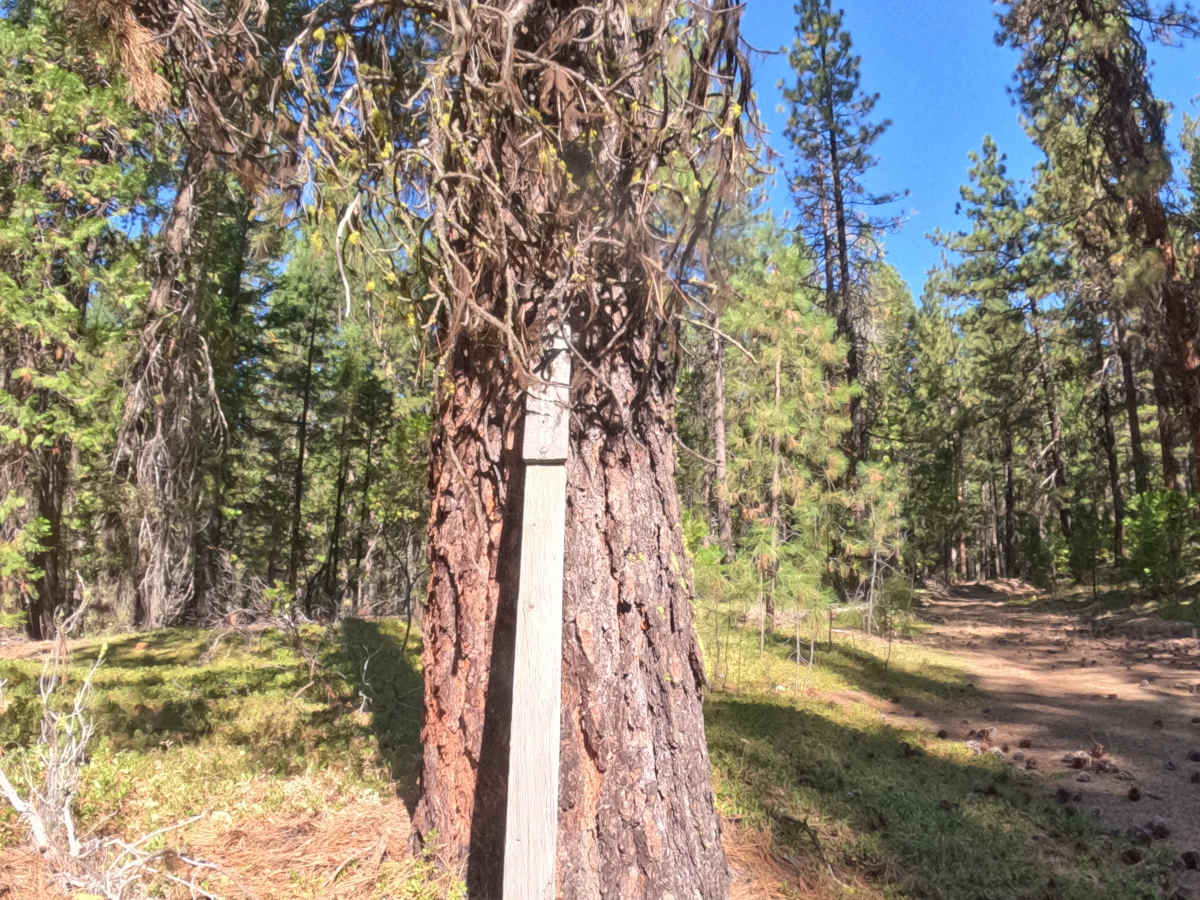
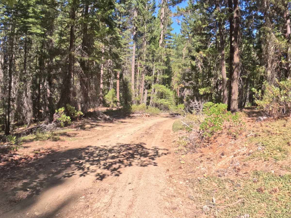
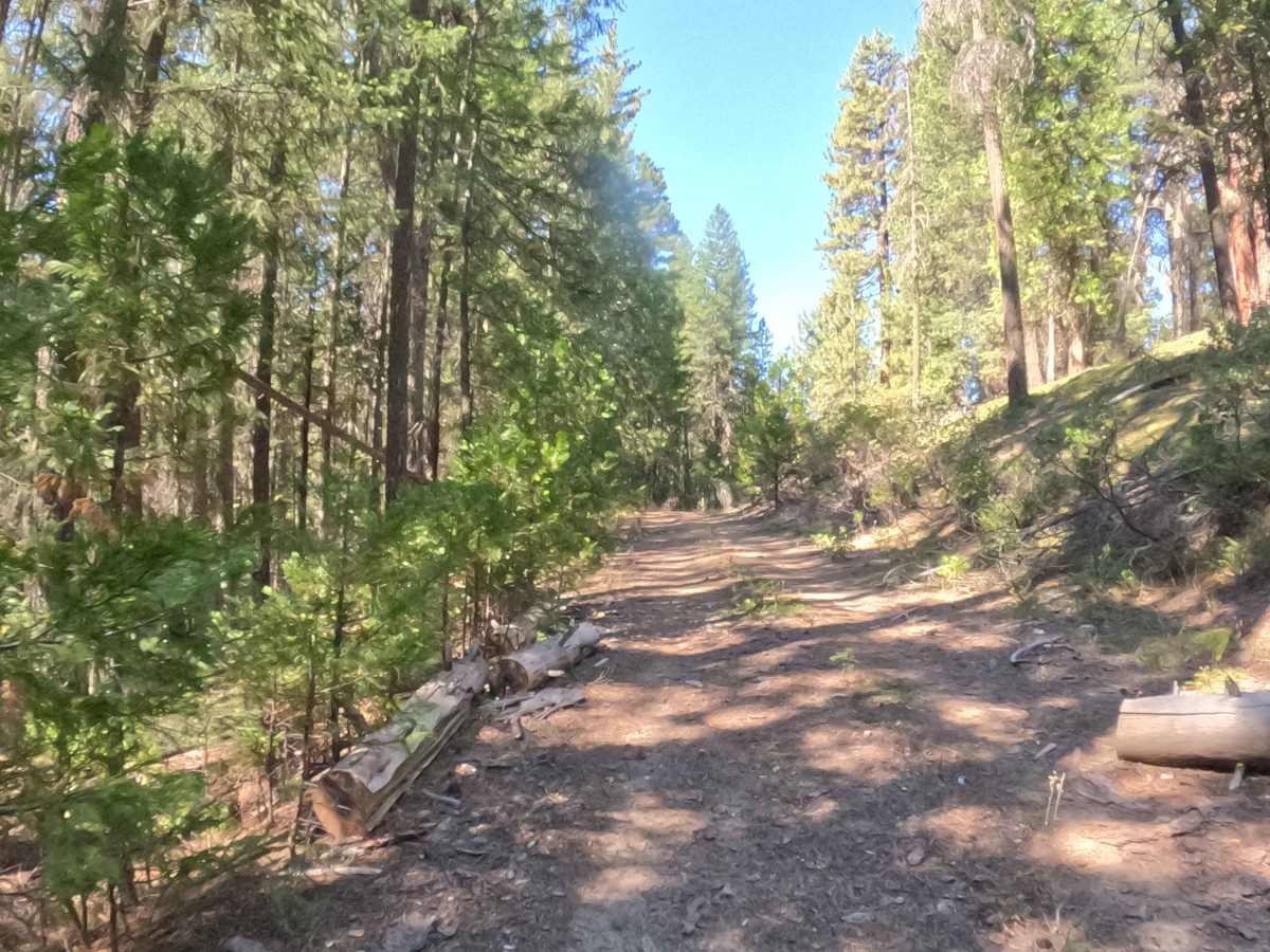
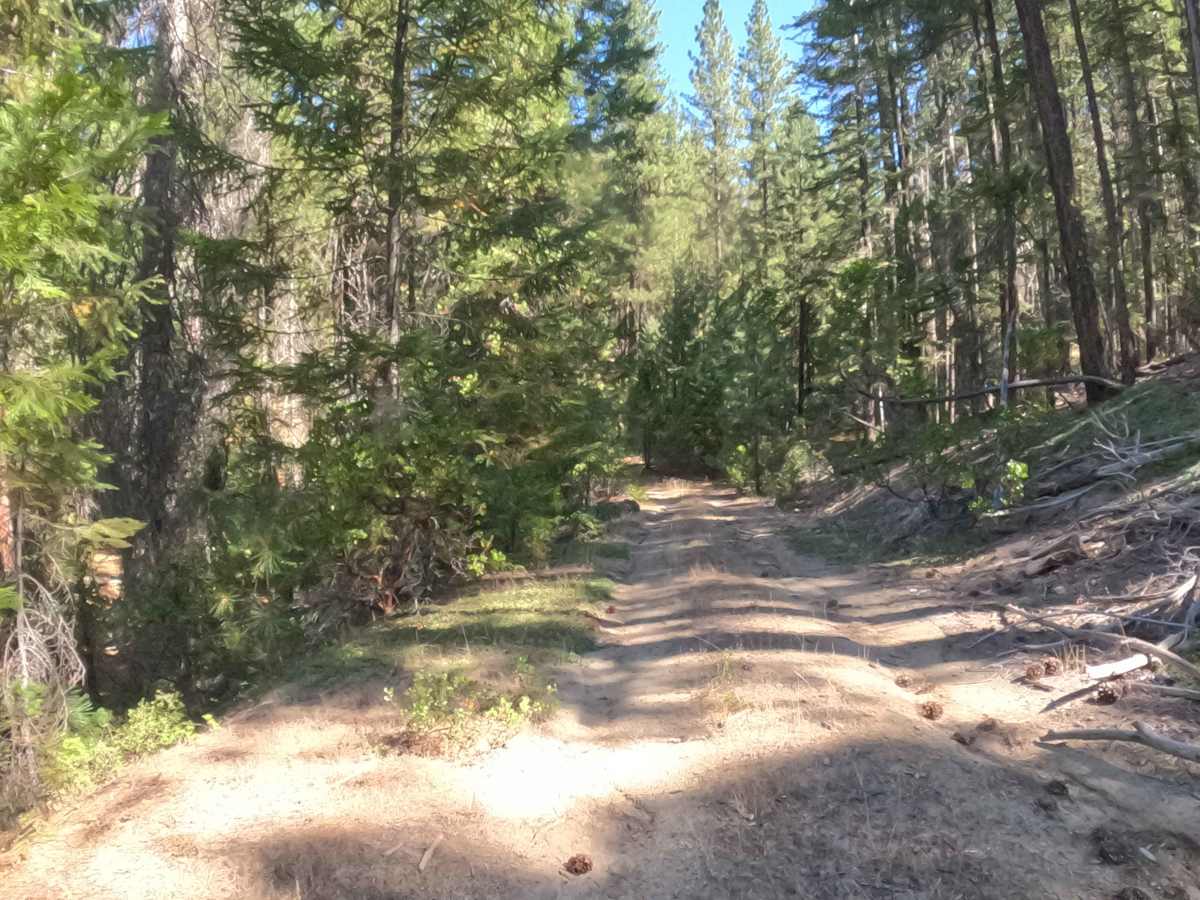
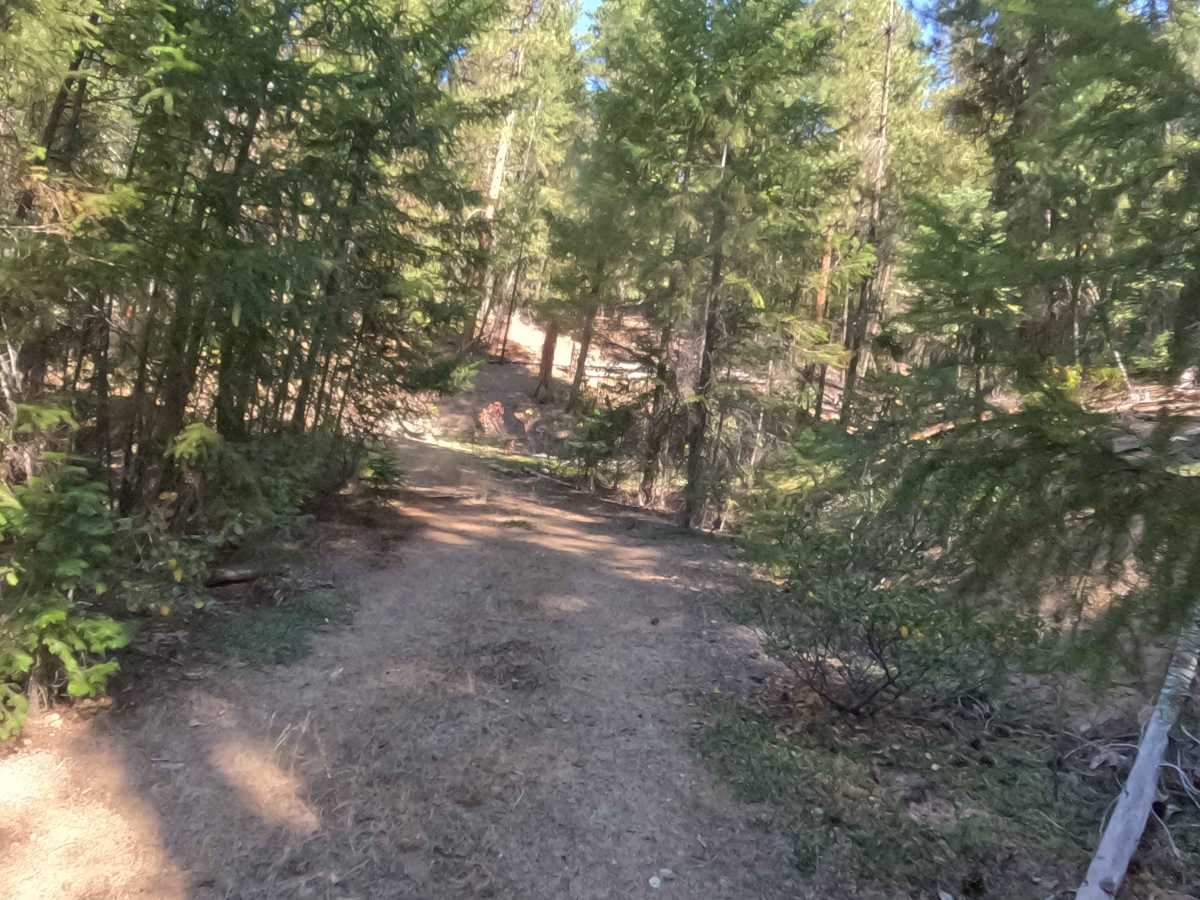
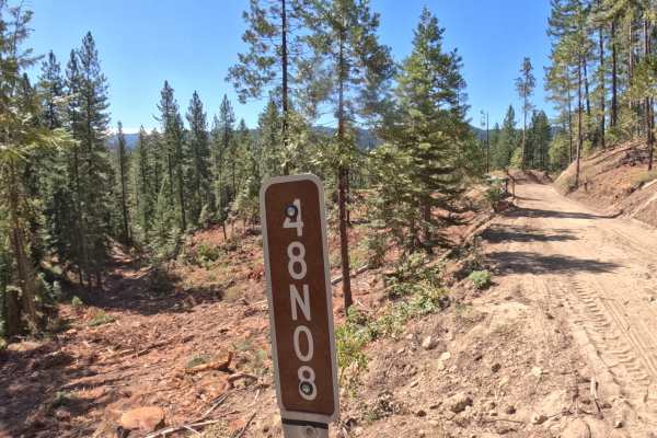
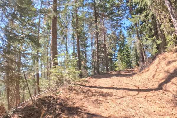
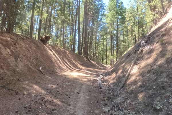
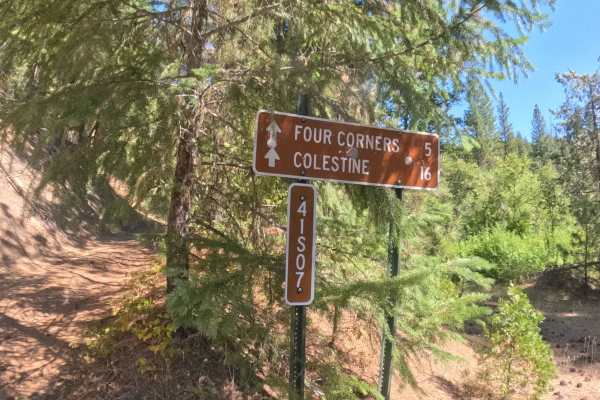
Branching off main forestry arteries near North Hungry Tie (FS 48N30) and Forest Road 41S07, Graham (FS 48N31) extends as a secluded out-and-back spur leading deeper into the woods. The route passes beneath a shady woodland canopy of mature ponderosa pines, incense cedars, and thick native underbrush managed by the Klamath National Forest. Recreators and backcountry travelers primarily explore this little-used pathway seeking quiet nature observation, seasonal hunting access, or primitive dispersed camping spots away from main thoroughfares. While no formal foot trailheads originate directly on this spur, drivers should remain mindful of hunters and hikers exploring adjacent public lands in the surrounding mountain network. The driving surface consists of a narrow, unmaintained dirt and gravel forest spur holding a Grade 2 difficulty rating. Featuring brushy side encroachments, scattered tree limbs, and small fallen logs that require navigating around, this rustic path gradually devolves into dense forest greenery at its terminal point.
Difficulty
Earning a Grade 2 difficulty rating, this lightly traveled forest spur presents manageable terrain features with increasing natural obstacles. Severe off-road hazards like deep mud bogs, steep rock ledges, or impassable washouts are non-existent along the route. The primary driving considerations involve maneuvering around small fallen logs lying across the tread, picking a line through encroaching shrubbery, and watching overhead clearance. Maintaining a slow, patient crawling speed ensures plenty of time to clear minor debris and turn around safely before the tread fades entirely into nature. Standard factory ground clearance is completely sufficient to handle the unpaved surface.

 Offroad