Trail Overview
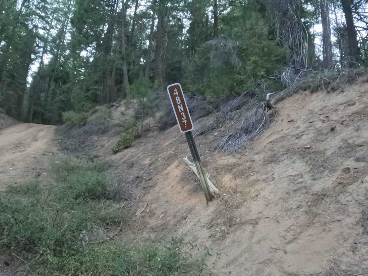
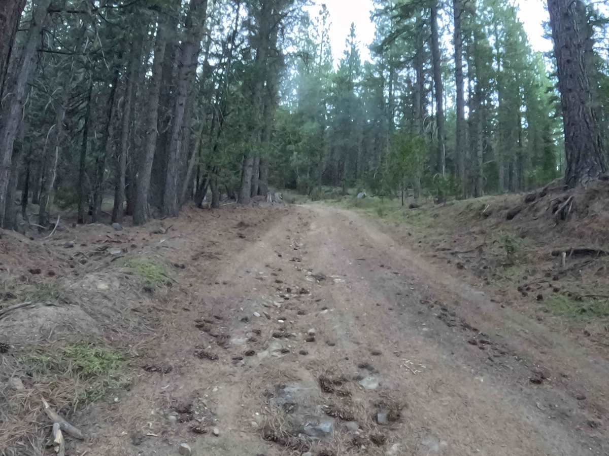
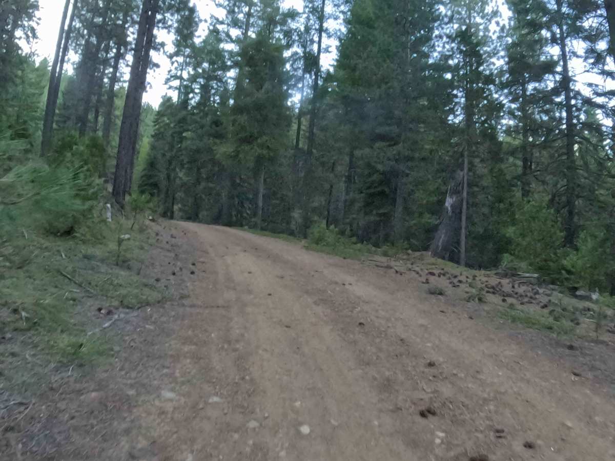
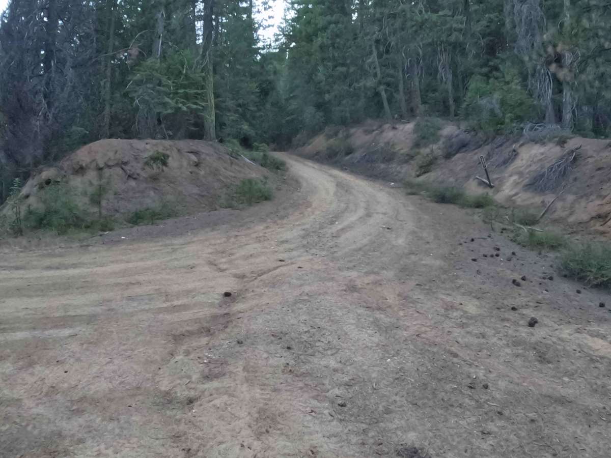
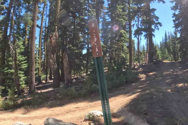
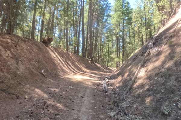
Tucked away within the sprawling canopy of the Klamath National Forest, Forest Service Road 48N37—often referred to locally as Saved Bacon—functions as a short but vigorously undulating connector trail that routes travelers deeper into the secluded mountain backcountry. Branching off the wider arterial forest networks, this heavily wooded corridor is characterized by a dense, thriving environment of towering evergreen conifers, shady banks, and a thick carpet of fallen pine needles. Outdoor enthusiasts and overland explorers typically utilize this quiet woodland passage to bypass heavier traffic, access dispersed wilderness areas for camping, or simply enjoy a peaceful scenic drive through the timber. The brief journey boasts a rollercoaster of topography, continuously climbing and descending through the forest with sweeping, sharp corners that keep drivers fully engaged from start to finish.
Difficulty
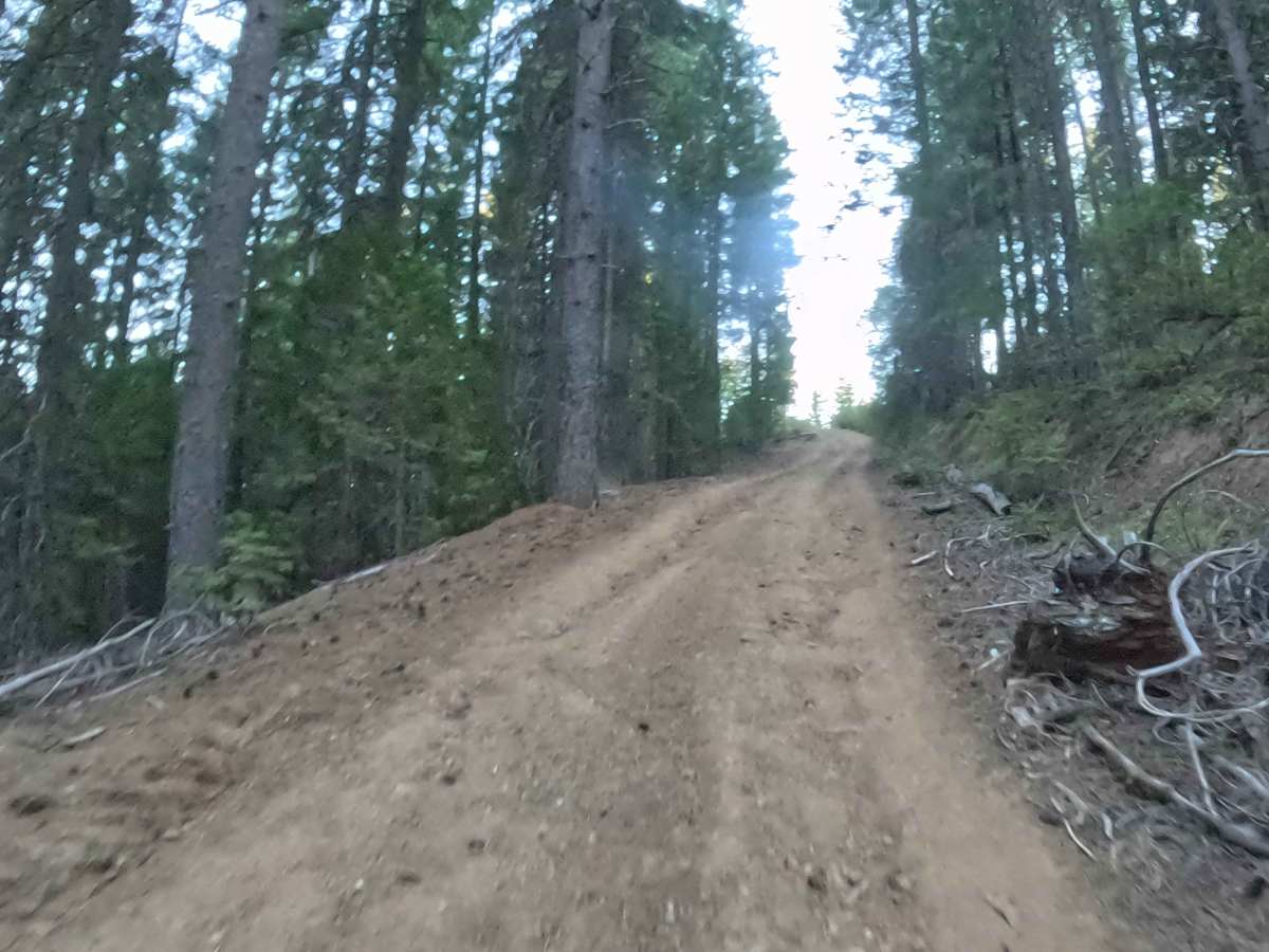
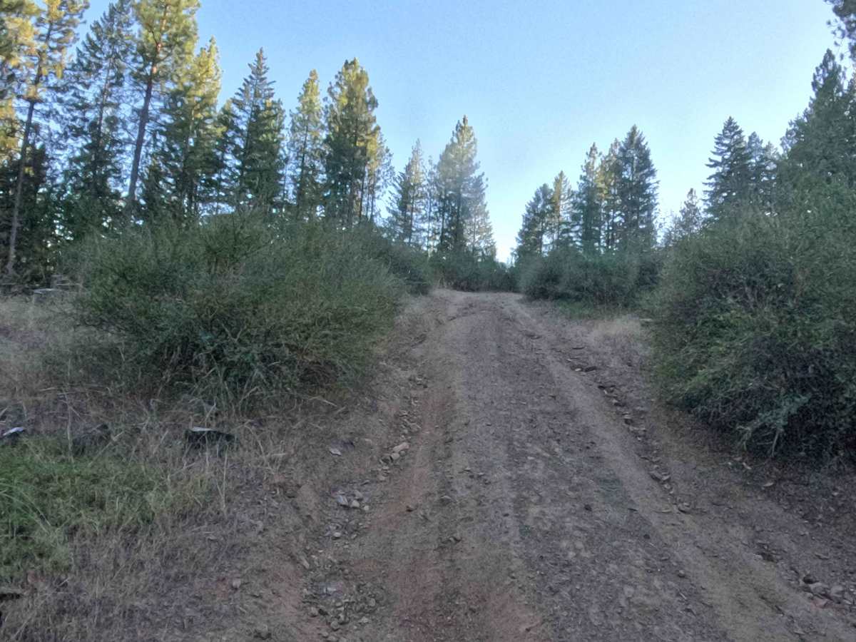
Earning a moderate difficulty rating of 2, this short but punchy route consists of a steep, hard-packed dirt and gravel surface that frequently changes elevation with undulating grades regularly ranging from 5% to 10%. As the trail sharply winds through the timber, the path presents several minor natural hazards, including weather-worn rain ruts approaching a foot in depth and small, abrupt rock ledges. These uneven, bumpy sections demand careful line selection and a steady, controlled momentum to maintain optimal tire traction. Navigating the steeper downhill segments and sharp, blind corners requires extra caution and reduced speeds to prevent sliding on the loose dirt and gravel overlay.

 Offroad