Trail Overview
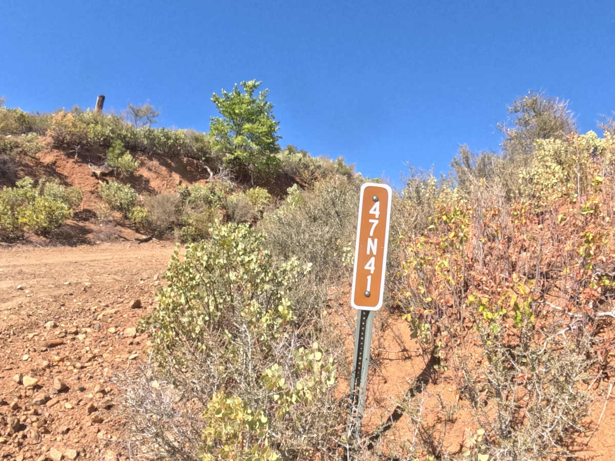
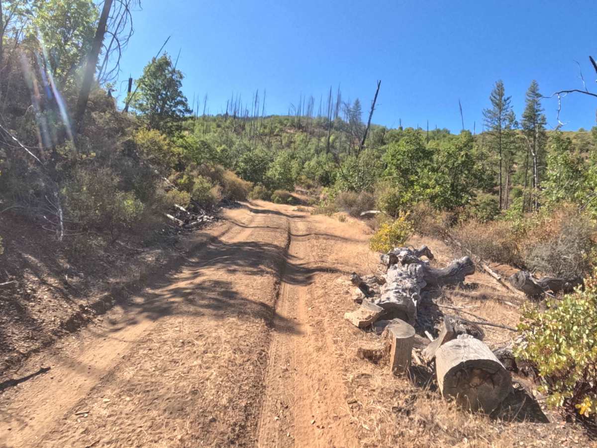
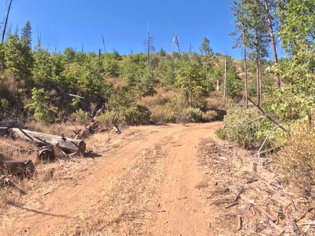
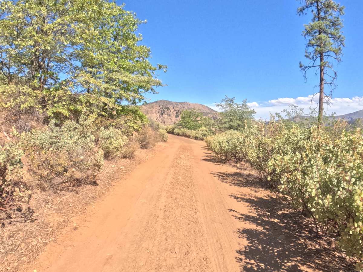
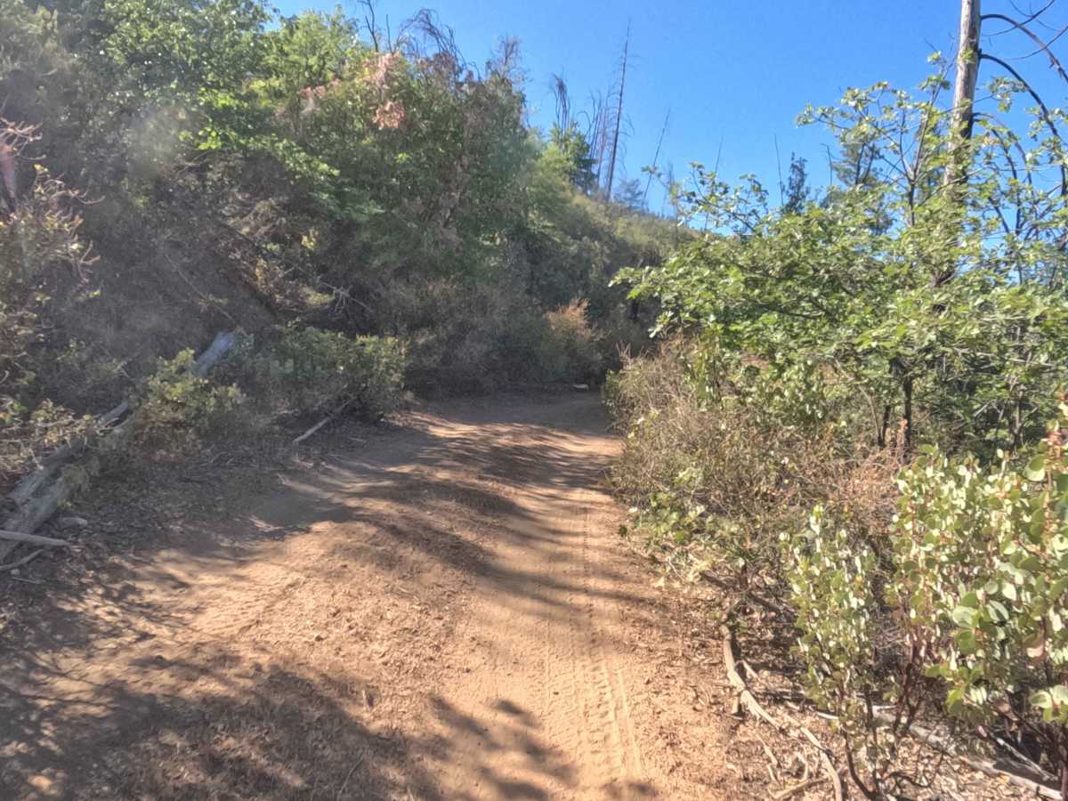
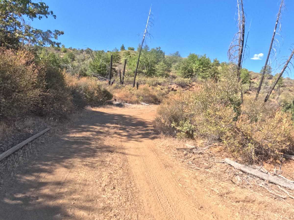
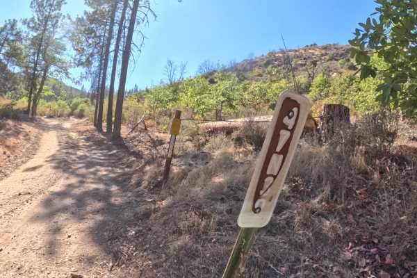
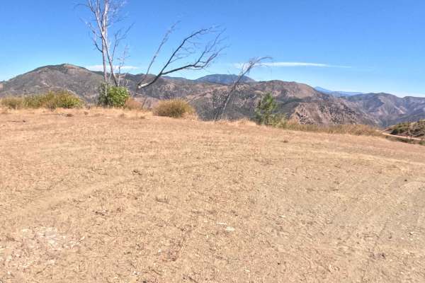
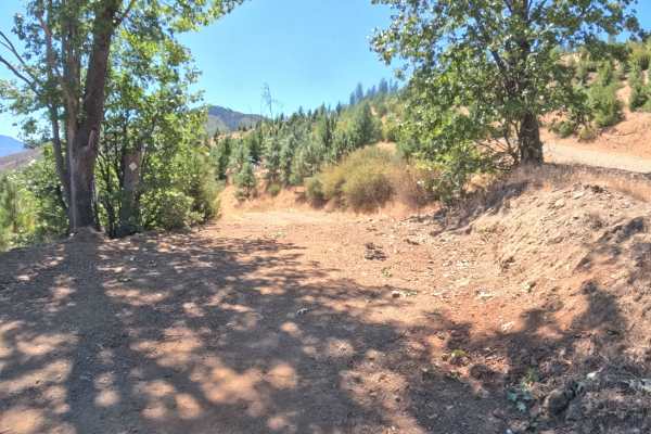
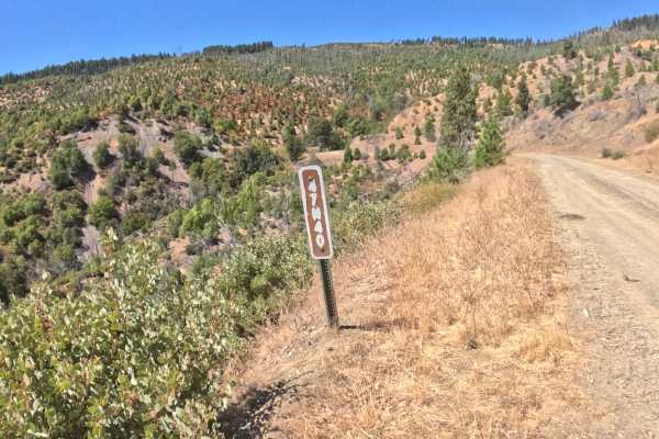
Accessed directly off the primary FS 47N39 (Fish Cove Road) artery, Fish Hatch (FS 47N41) ascends as a scenic mountain spur providing access deeper into the upper slopes of the forest. The route traverses sun-drenched oak brush and dry conifer hillsides within the Klamath National Forest, opening up to sweeping panoramic vistas of the surrounding valleys and distant peaks as elevation increases. Outdoor enthusiasts and backcountry travelers utilize this elevated pathway primarily for scenic ridgeline driving, nature photography, and exploring secluded high-country forest terrain. Although no formal hiking trailheads originate directly on this spur, drivers should remain alert for hunters on foot or recreators exploring along the narrow right-of-way, particularly around brushy blind curves. The driving surface consists of an unpaved clay and gravel forest spur holding a Grade 2 difficulty rating due to slick, wet conditions, overgrown single-vehicle sections, and minor rain ruts near the summit pitch. Delivering an invigorating climb above the valley floor, this route offers an enjoyable, straightforward journey that continues beyond the mapped section.
Difficulty
Assigned a Grade 2 difficulty rating, this ascending forest spur presents manageable terrain features with localized surface variations. Technical off-road hazards such as massive boulder fields, steep rock ledges, or impassable washouts are completely non-existent. The primary driving considerations involve managing the hard-packed clay and gravel bed, which turns remarkably slick and greasy during wet weather, and navigating overgrown foliage that narrows the track to a single vehicle width. Near the top of the climb, the grade steepens slightly and features several shallow rain ruts carved into the dirt tread, requiring deliberate wheel placement. Maintaining a moderate, controlled speed and choosing a smooth driving line ensures consistent tire traction and protects the vehicle's underside throughout the ascent.

 Offroad