Trail Overview
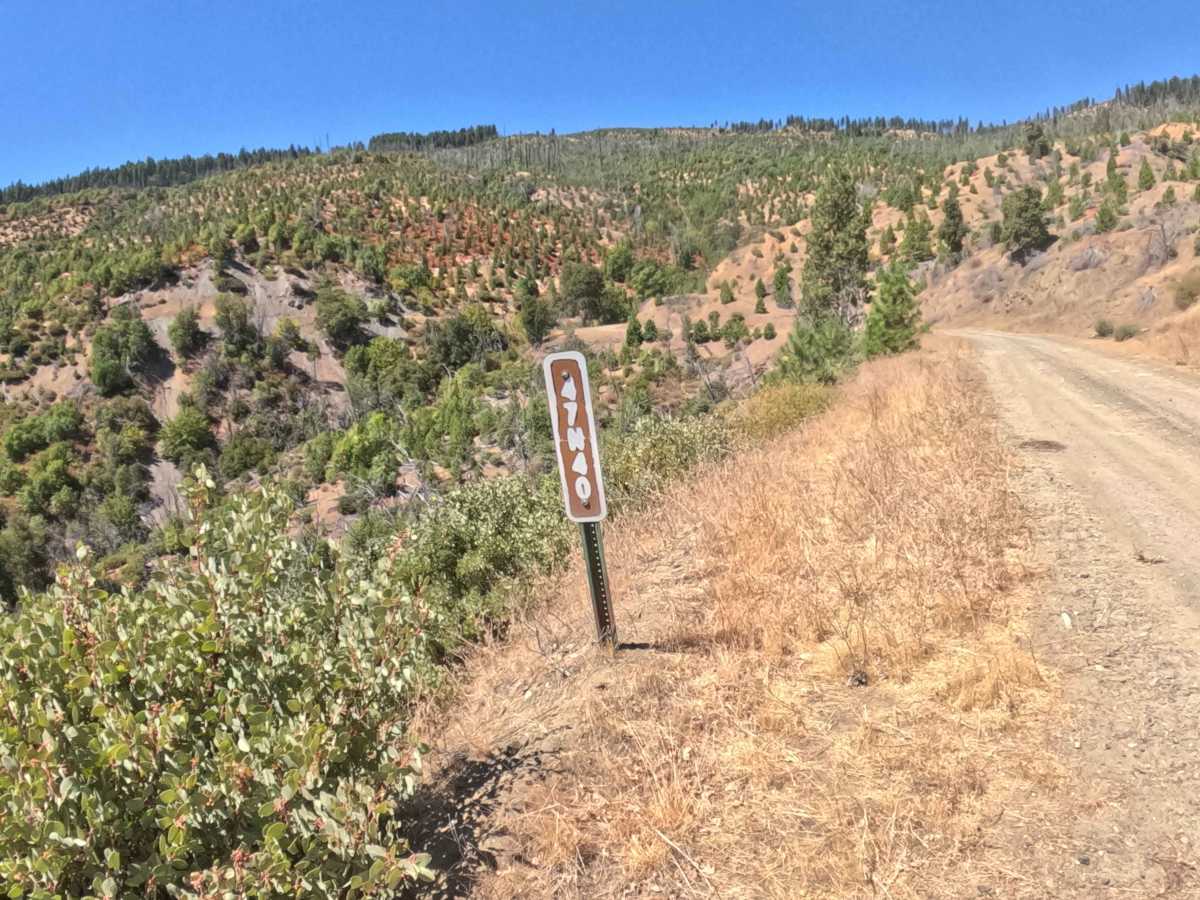
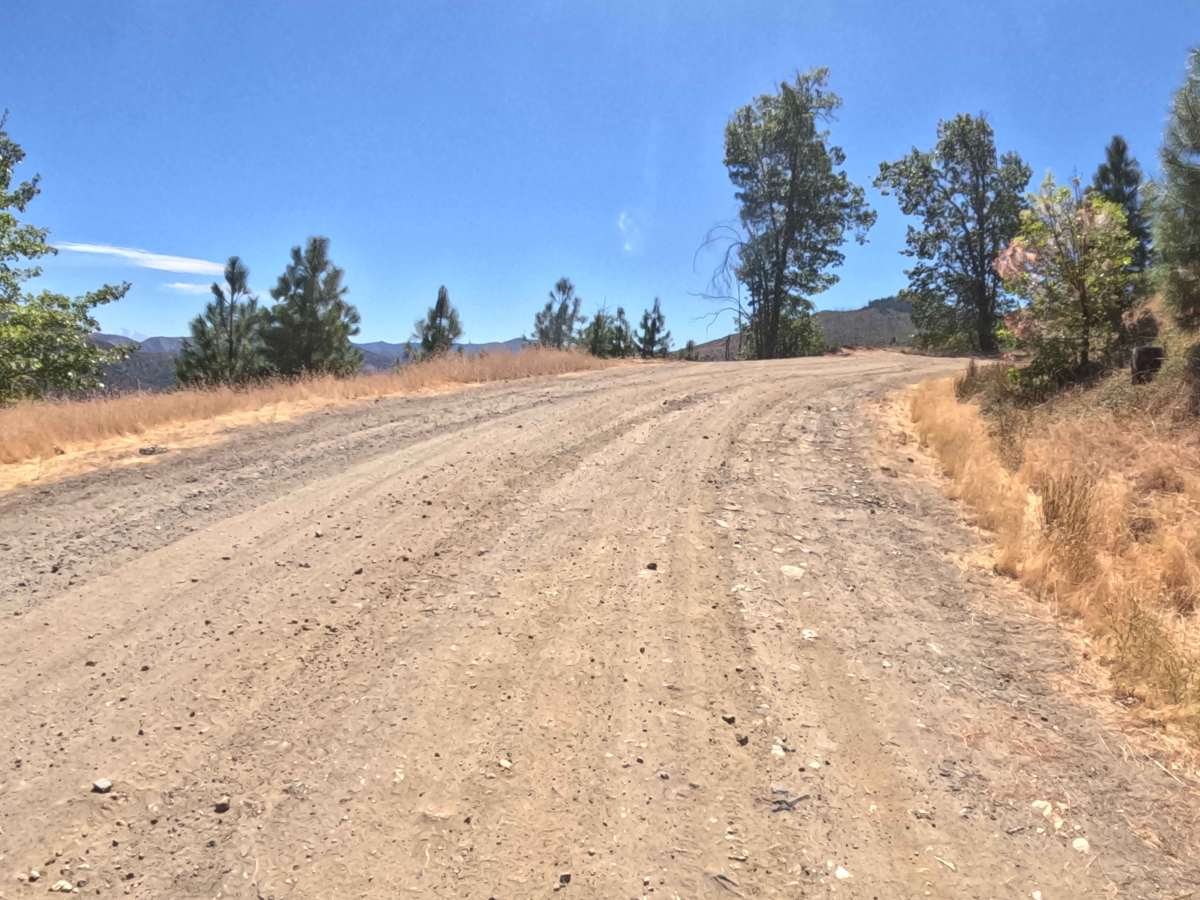
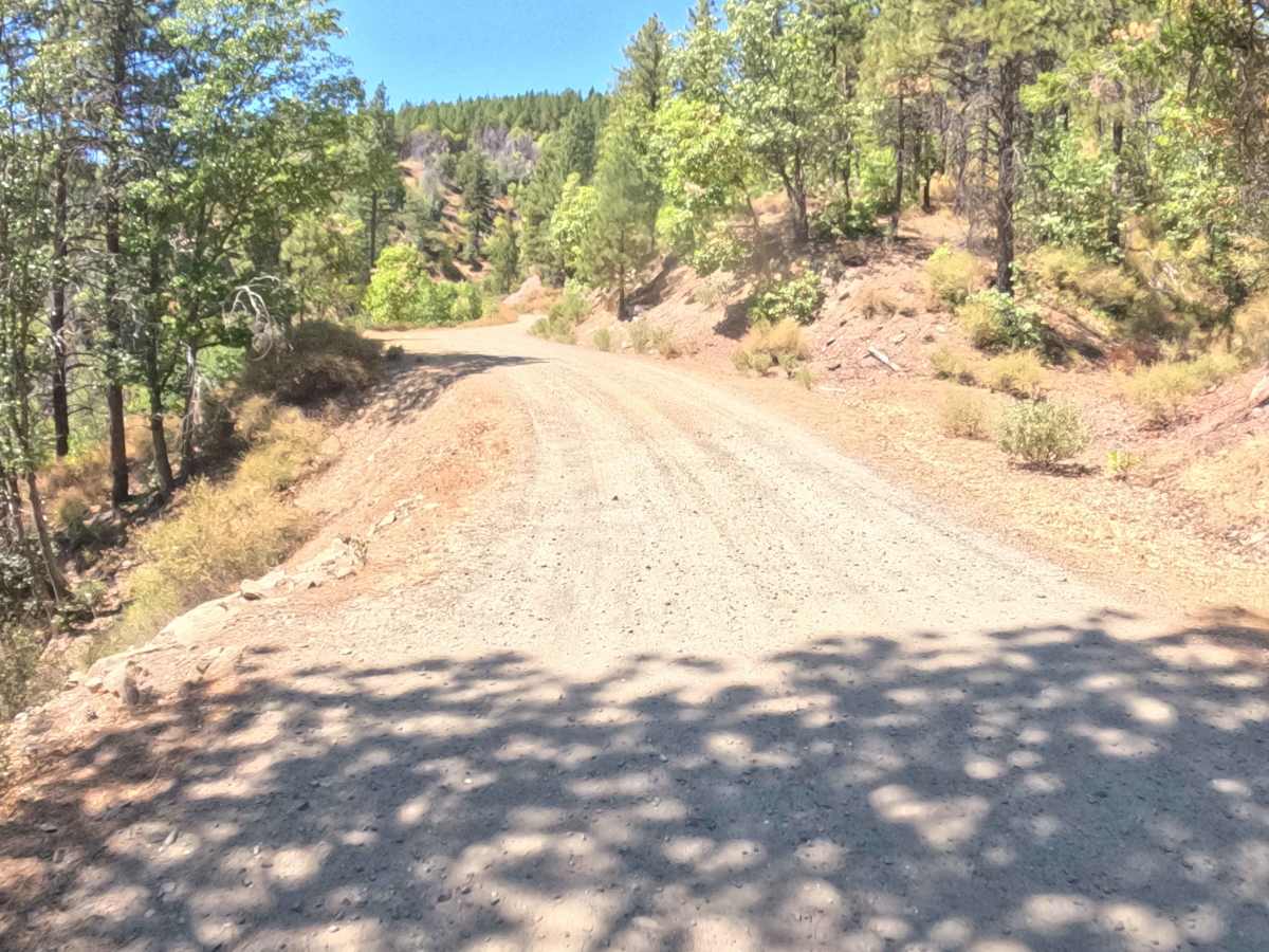
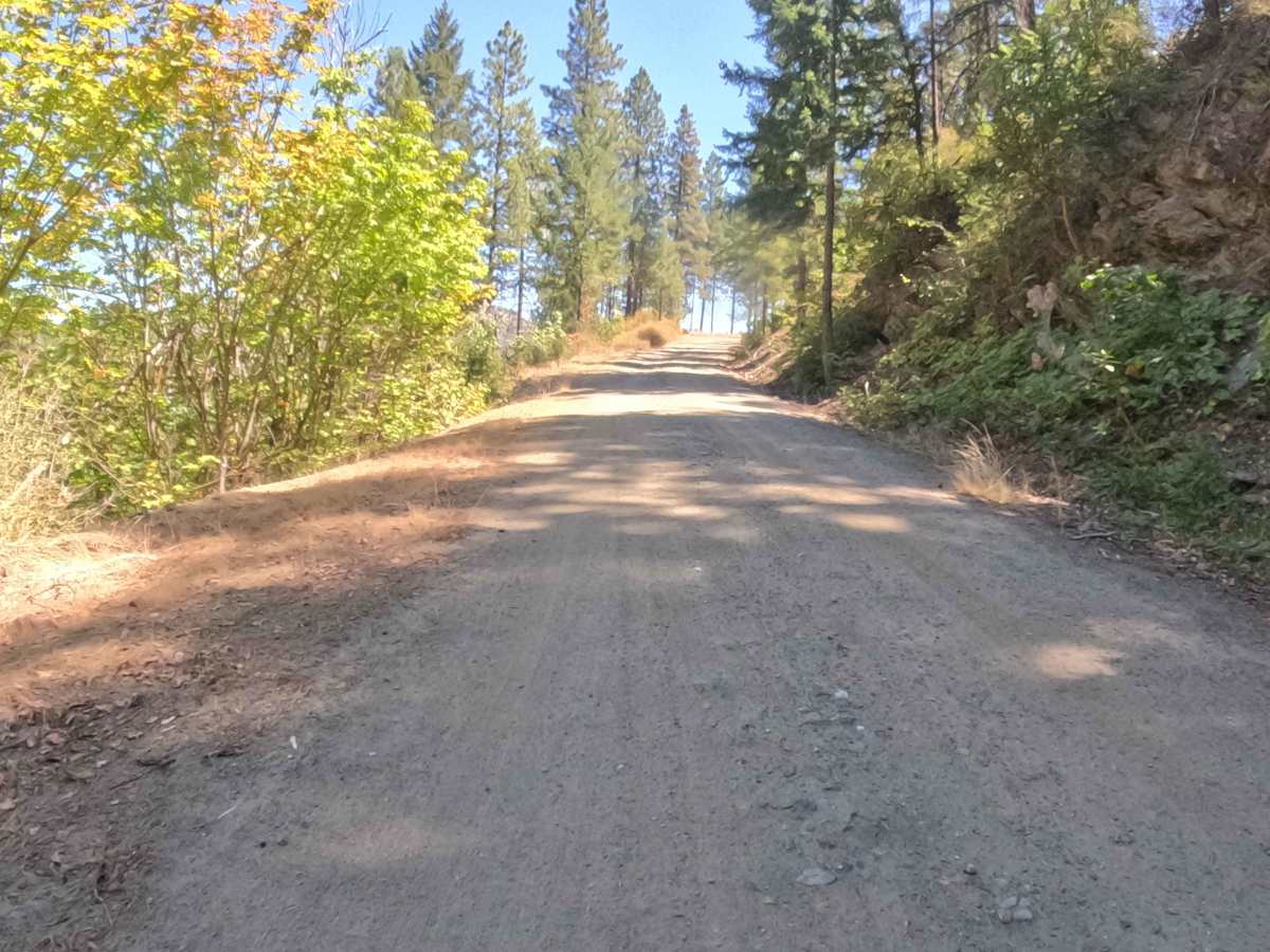
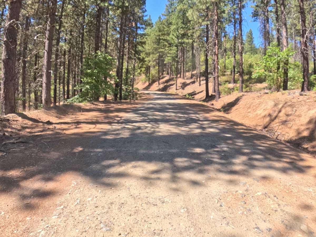
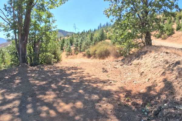
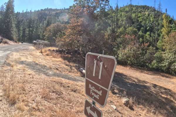
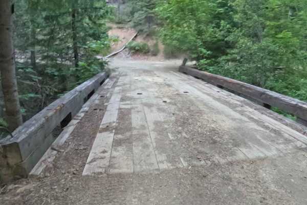
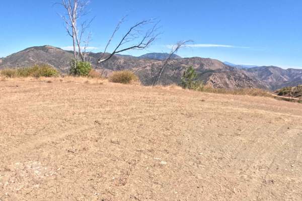
Forest Service Road 47N40, widely known as the Pipeline, functions as a highly utilized backcountry connector weaving through the Klamath National Forest. This route snakes along the mountainside, transitioning beautifully between dense, shaded evergreen stands and expansive, open clearings resulting from recent timber harvests. The logging operations have dramatically opened up the landscape, rewarding travelers with sweeping, uninterrupted views across the surrounding ridges and deep valleys. Featuring a firm, hard-packed dirt and gravel foundation, this passage earns a moderate difficulty rating of 2. Backcountry explorers and sightseers frequently utilize this convenient lateral track to seamlessly link various regional forest routes without the tedious need to backtrack.
Difficulty
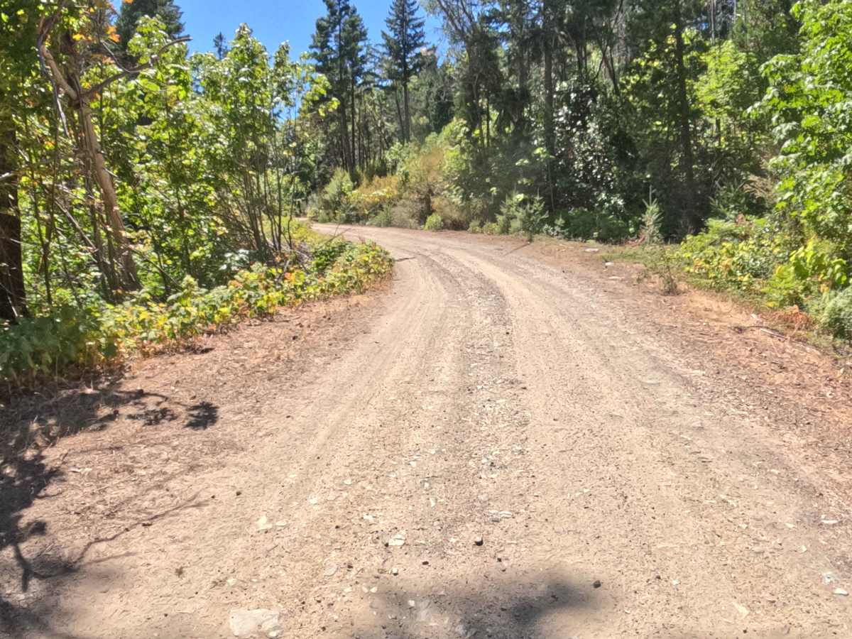
Assigned a manageable rating of 2 on the technical scale, this mountain connector provides a dependable driving experience that requires steady attention rather than aggressive vehicle capability. The hard-packed gravel surface is generally very firm, though travelers will consistently encounter small to medium-sized embedded rocks that create a slightly rumbling, uneven ride. While the route avoids severe, challenging obstacles like deep off-camber ruts or large boulders, the scattered stony sections and occasional blind, forested corners demand that drivers maintain sensible, controlled speeds. With clear sightlines through the recently logged sections and a relatively consistent grade, navigators can easily anticipate oncoming traffic and enjoy a straightforward journey across the hillside.