Trail Overview
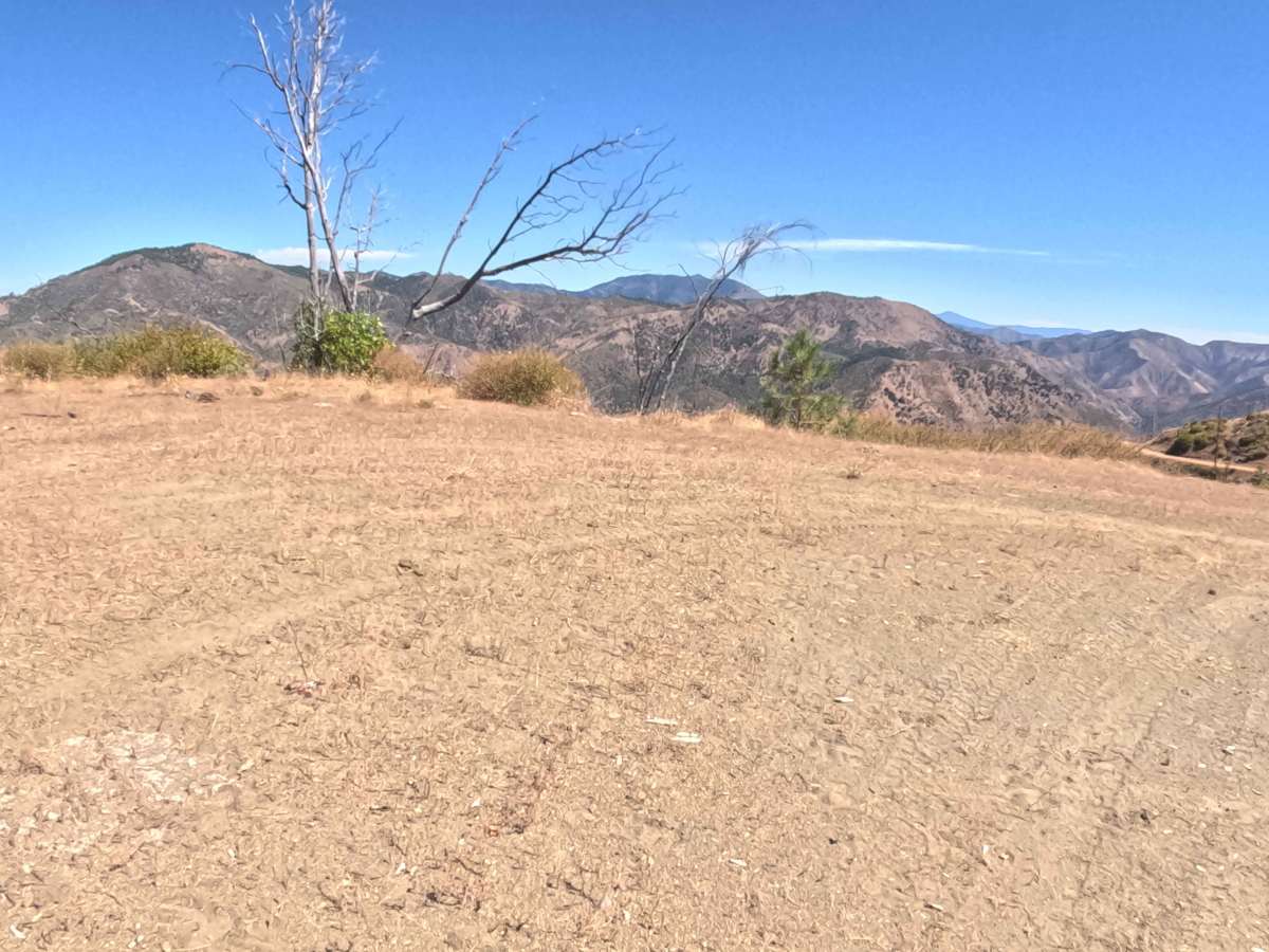
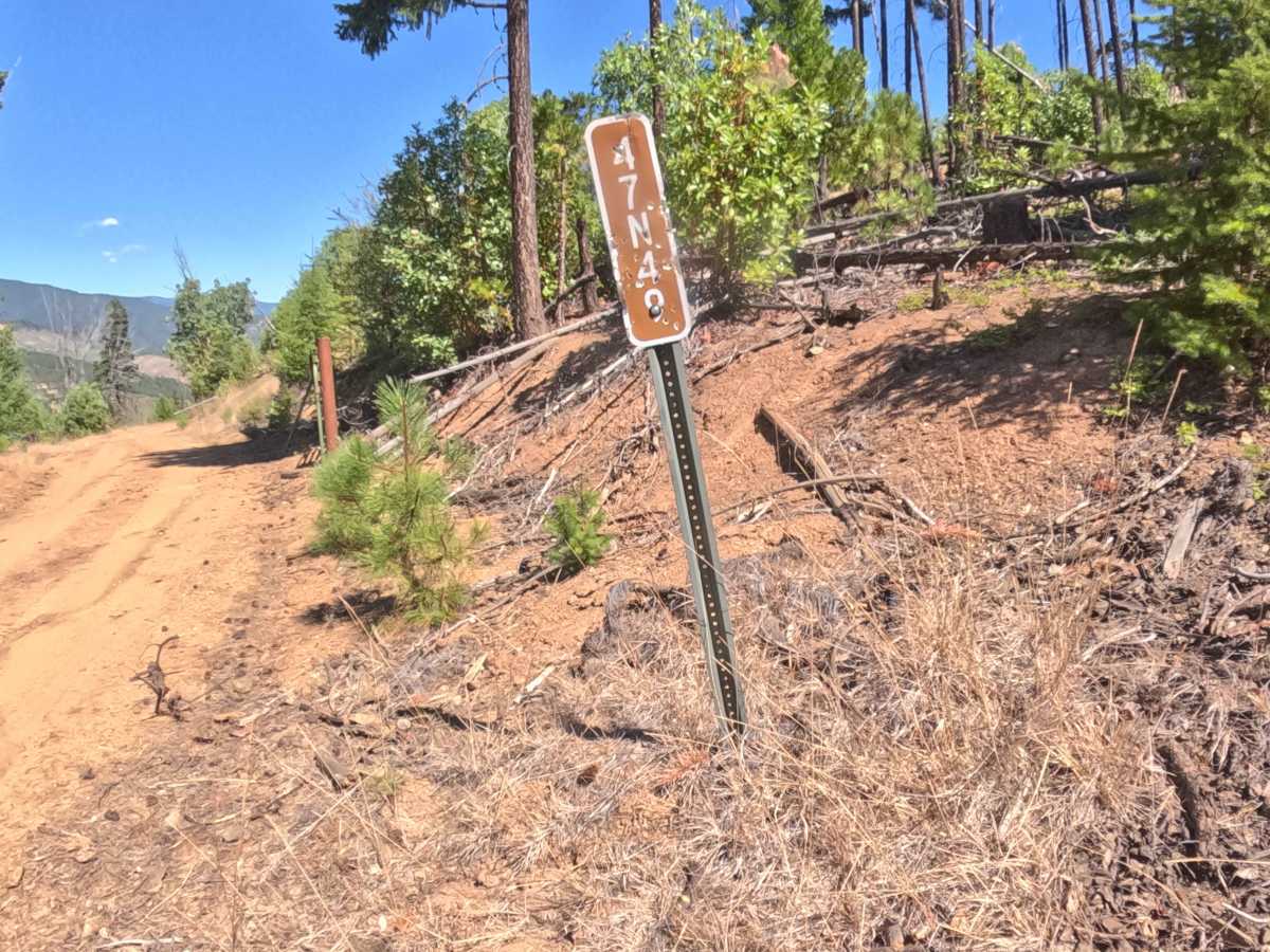
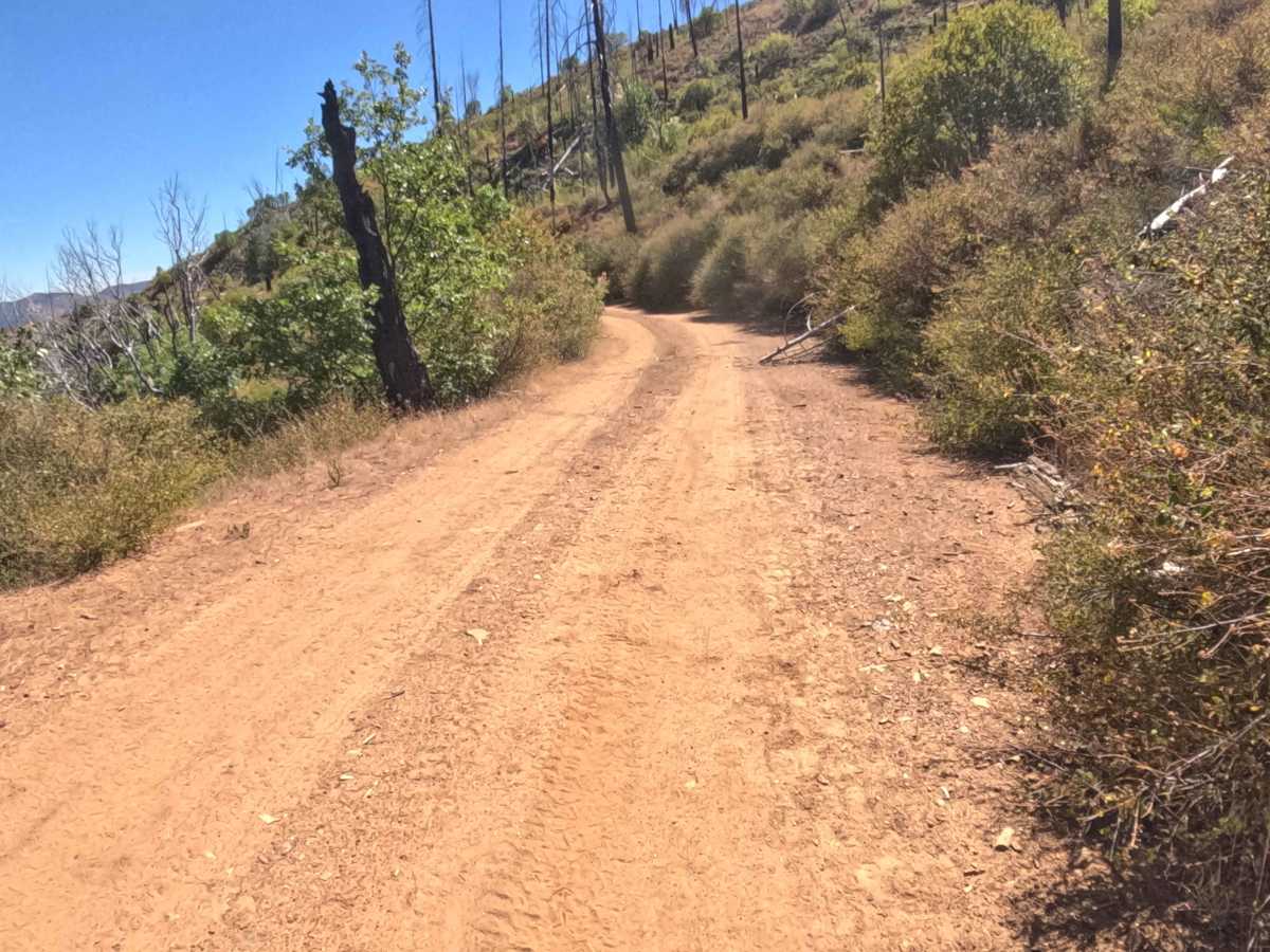
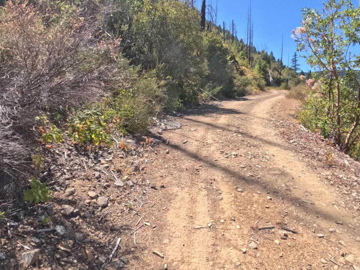
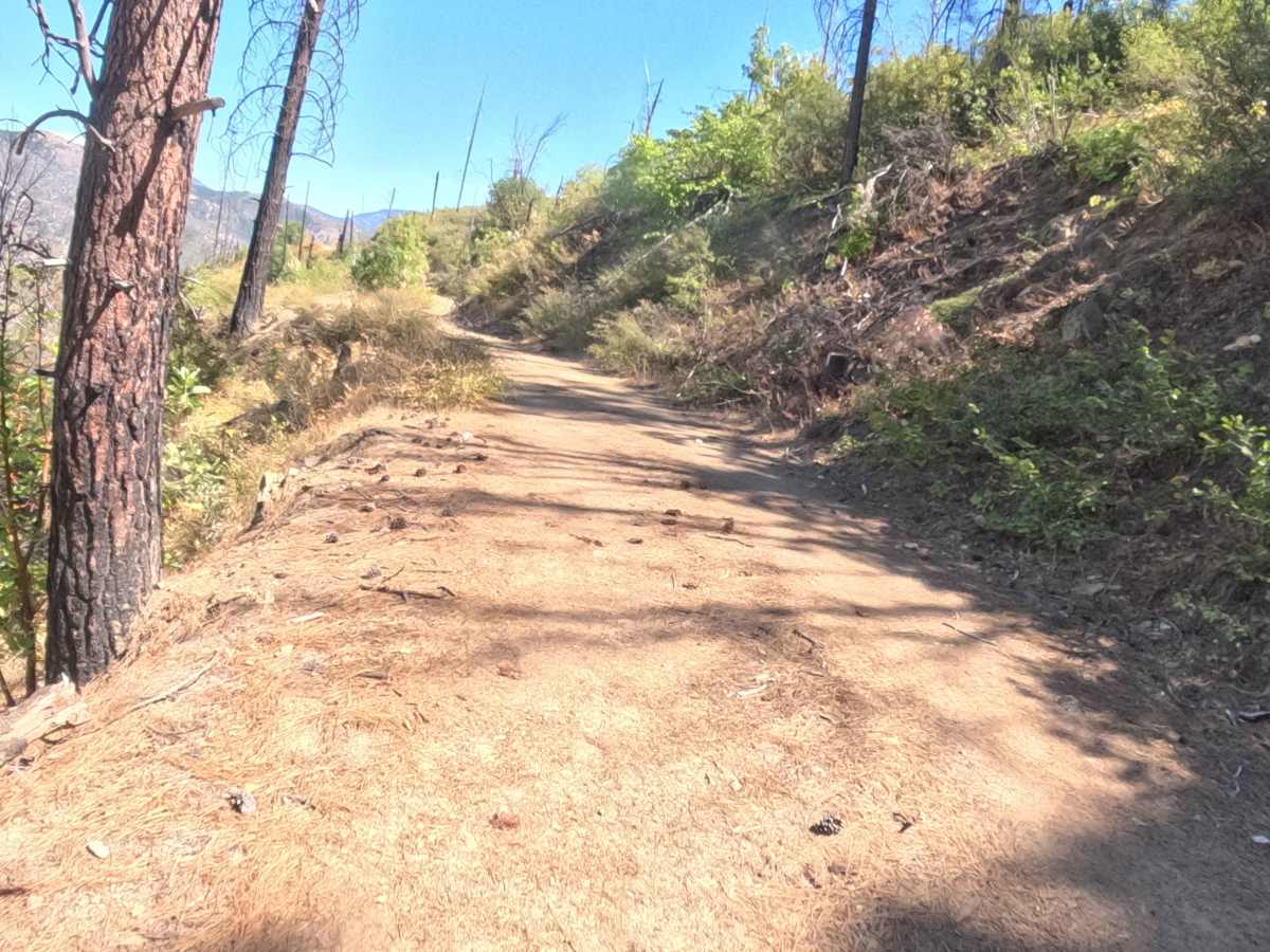
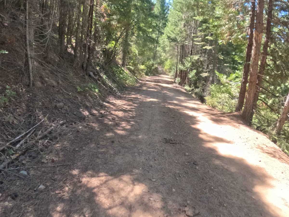
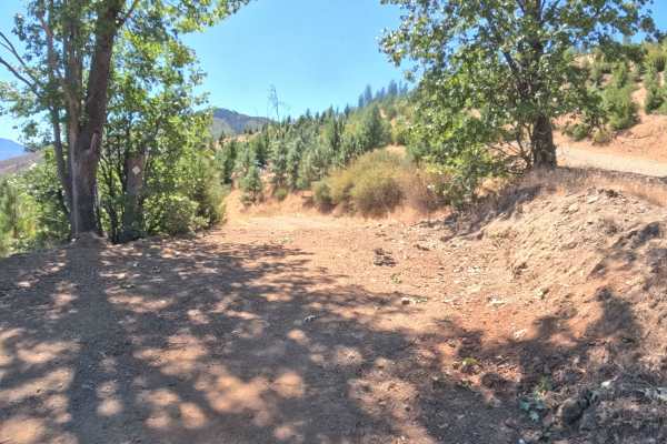
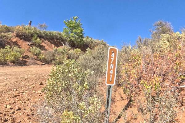
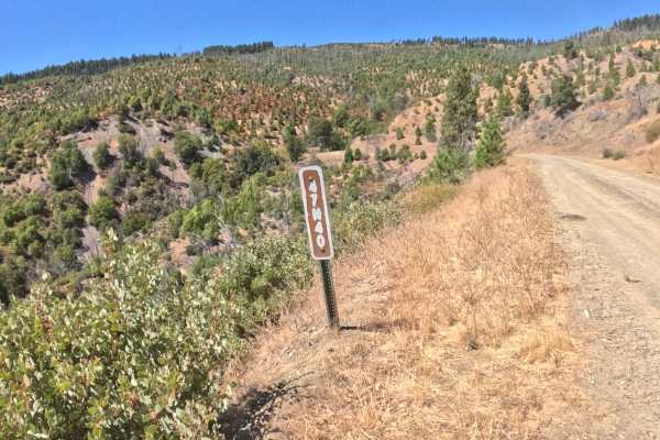
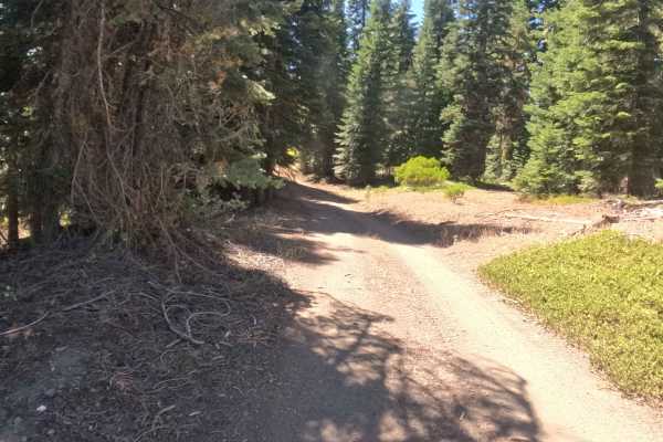
Branching off from the prominent junction of Forest Routes 40S01 and 47N40, Forest Service Road 47N49—also known as Round Mountain—serves as a brief, scenic connector route probing the heights of the Klamath National Forest. Be aware that there is no official trail sign marking the entrance, so careful navigation is required to locate the turnoff. The journey winds gracefully along the mountainside, transitioning between sun-exposed stretches recovering from the 2020 Slater Fire and pockets of dense, untouched evergreen timber. Large, charred snags and heavy brush line the margins, occasionally squeezing the drivable corridor and requiring larger rigs to proceed with caution. Earning a moderate difficulty rating of 2, the pathway features a dependable, hard-packed dirt and gravel surface that climbs steadily before ultimately terminating at a private property boundary.
Difficulty
Assigned a moderate rating of 2, this mountainside shelf road provides a relatively straightforward drive that demands consistent attention rather than aggressive off-road capability. The hard-packed gravel foundation remains firm and reliably smooth, avoiding deep washouts, intimidating rock steps, or severe off-camber sections. However, the route requires careful navigation due to tight shoulders crowded by mature trees, encroaching brush, and large hillside rocks that significantly narrow the available driving space in several stretches. Drivers must maintain controlled speeds, remain alert for oncoming traffic around blind bends, and respect the private property limits at the route's conclusion.