Trail Overview
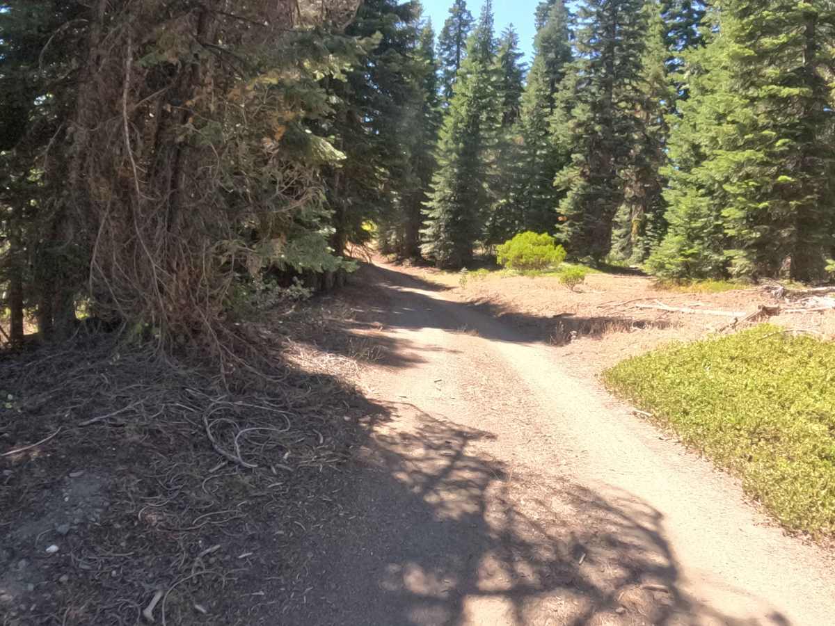
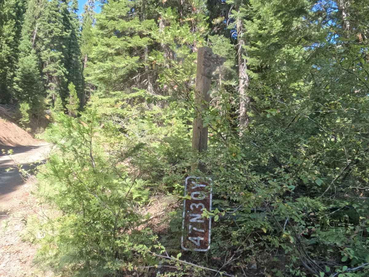
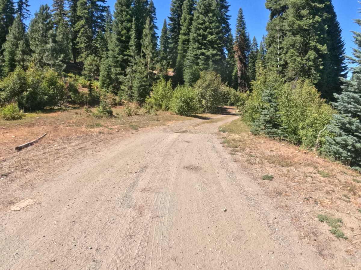
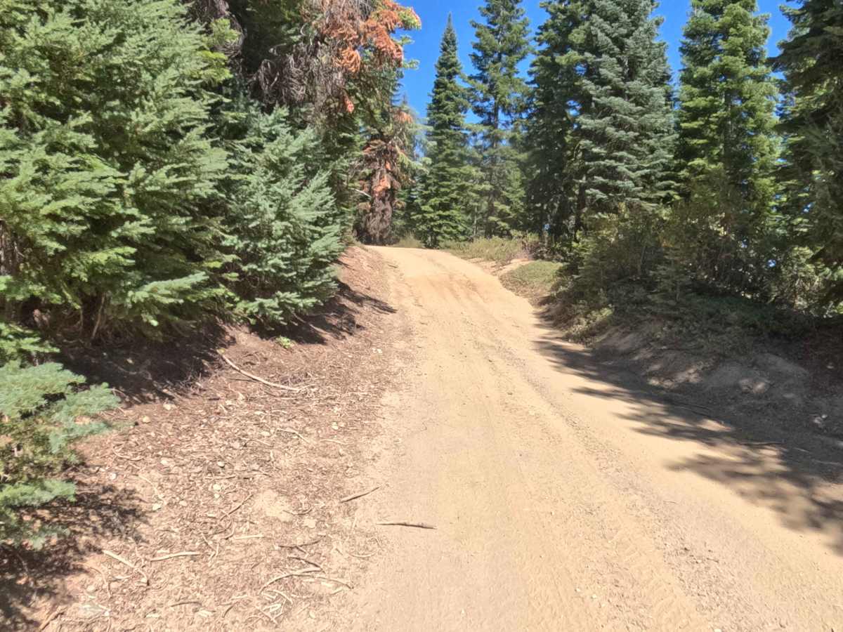
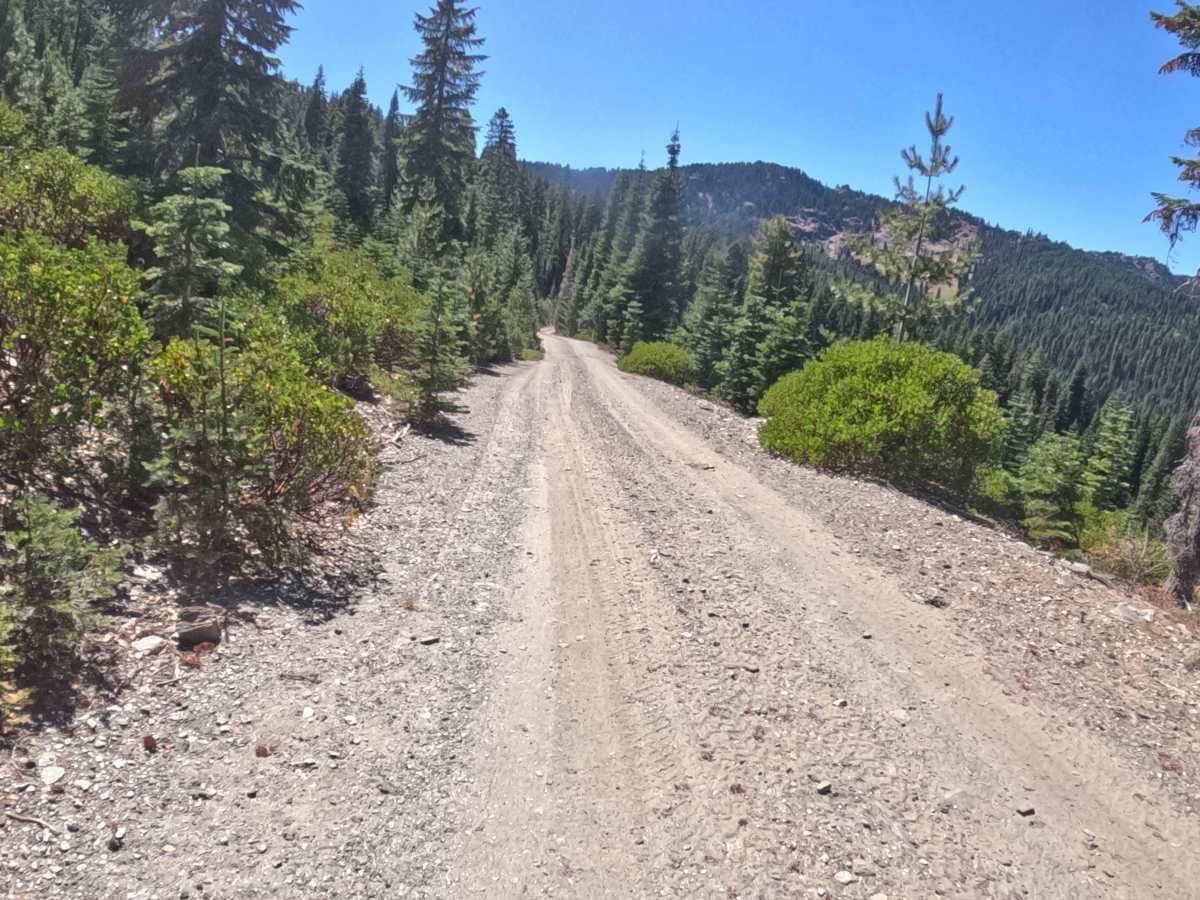
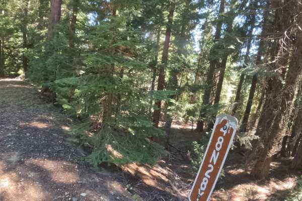
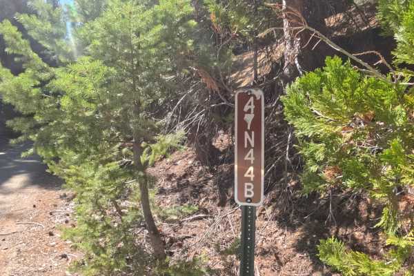
Tucked beneath a vibrant canopy of mature evergreens, Forest Service Road 47N30Y—locally known as Dutch—serves as a meandering backcountry connector route that carries travelers deeper into the National Forest road network. The pathway rolls continuously, offering a journey that seamlessly transitions between deeply shaded, lush woodland corridors and occasional breaks in the treeline that reveal stunning, long-distance mountain panoramas. Featuring a predominantly hard-packed gravel and dirt foundation, this passage earns a moderate difficulty rating of 2. Outdoor enthusiasts utilize this undulating track to navigate the intricate surrounding ridges, though travelers must pay close attention to several unmarked intersections and alternate forks along the way to ensure they stay on course. With its densely forested stretches and sweeping topography, Dutch provides a wonderfully scenic, albeit occasionally narrow, transit through the woods.
Difficulty
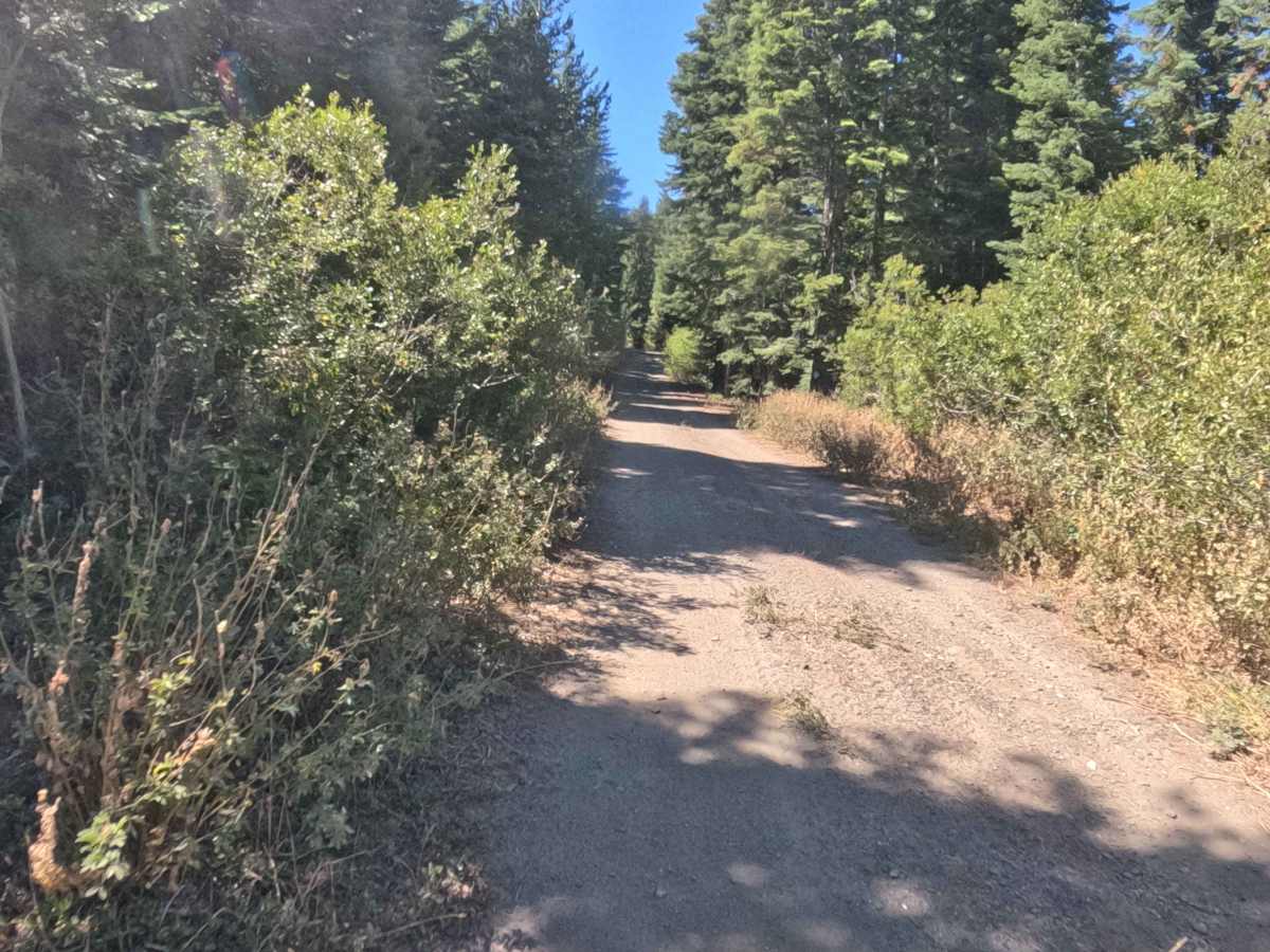
Assigned a moderate rating of 2 on the technical scale, this undulating dirt and gravel route requires focused driving to safely manage its frequent changes in elevation and tight geometry. The trail constantly climbs and descends with pitches ranging from three to ten percent, demanding smooth momentum control. While the foundational surface remains relatively firm, navigators will encounter very sharp, blind corners and significant vegetation encroachment along the shoulders. This dense overgrowth and limited forward visibility can be especially challenging for taller rigs. Drivers should maintain reduced speeds to effectively react to the twisting layout and accurately navigate the various intersecting forest trails.

 Offroad