Trail Overview
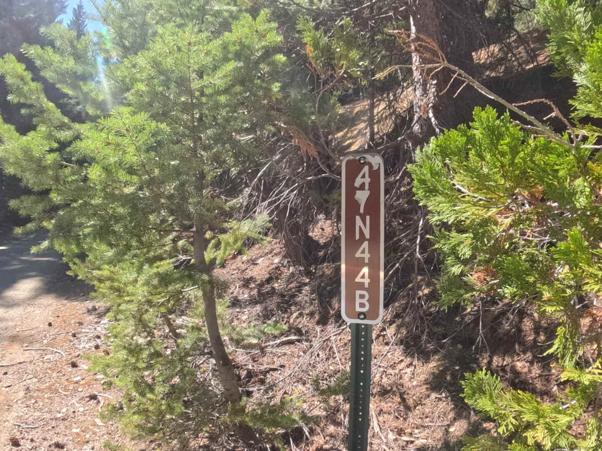
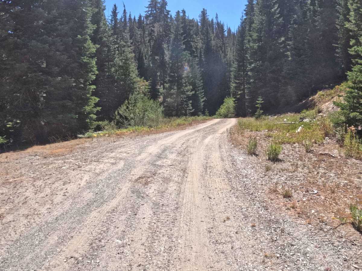
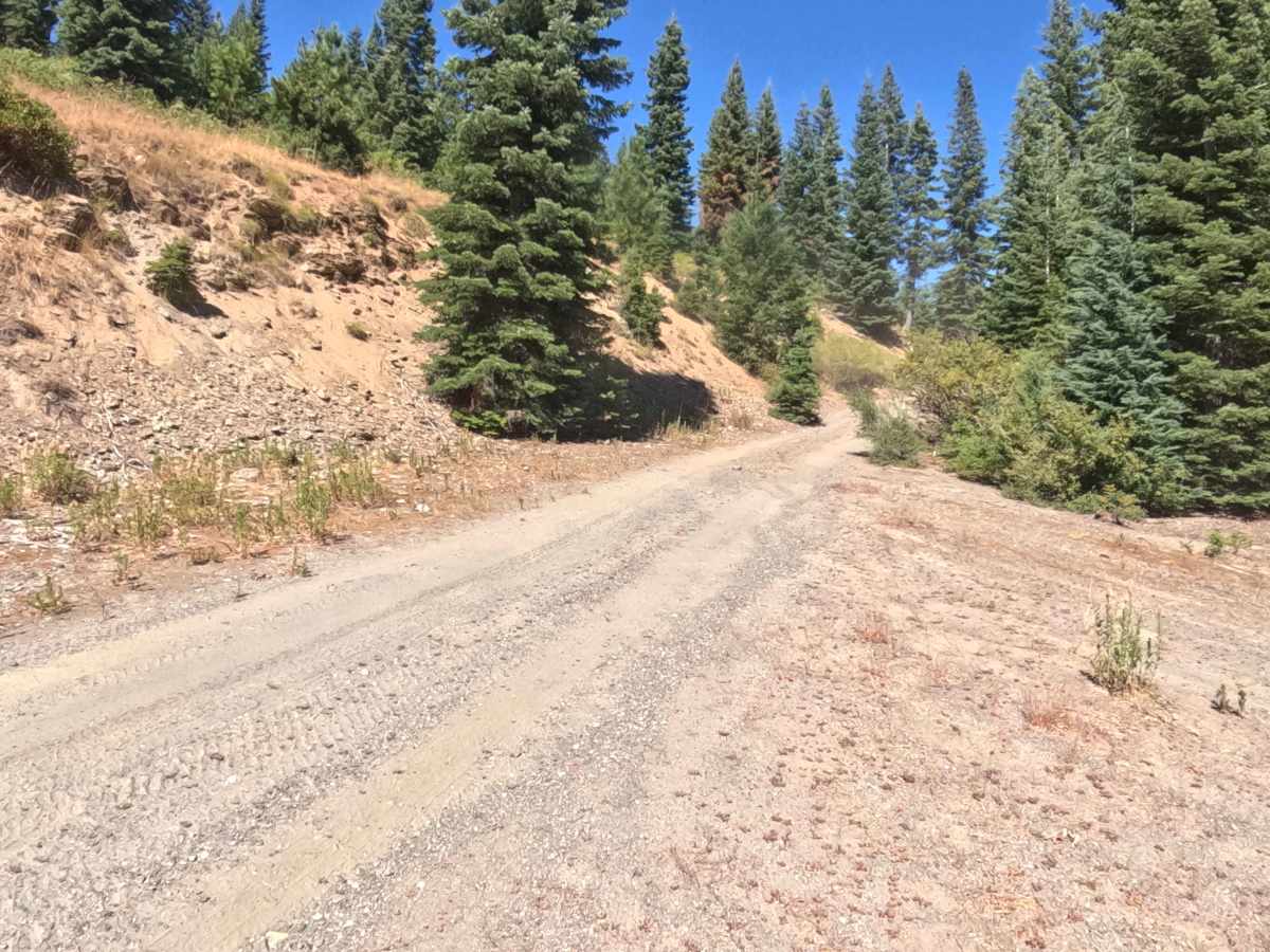
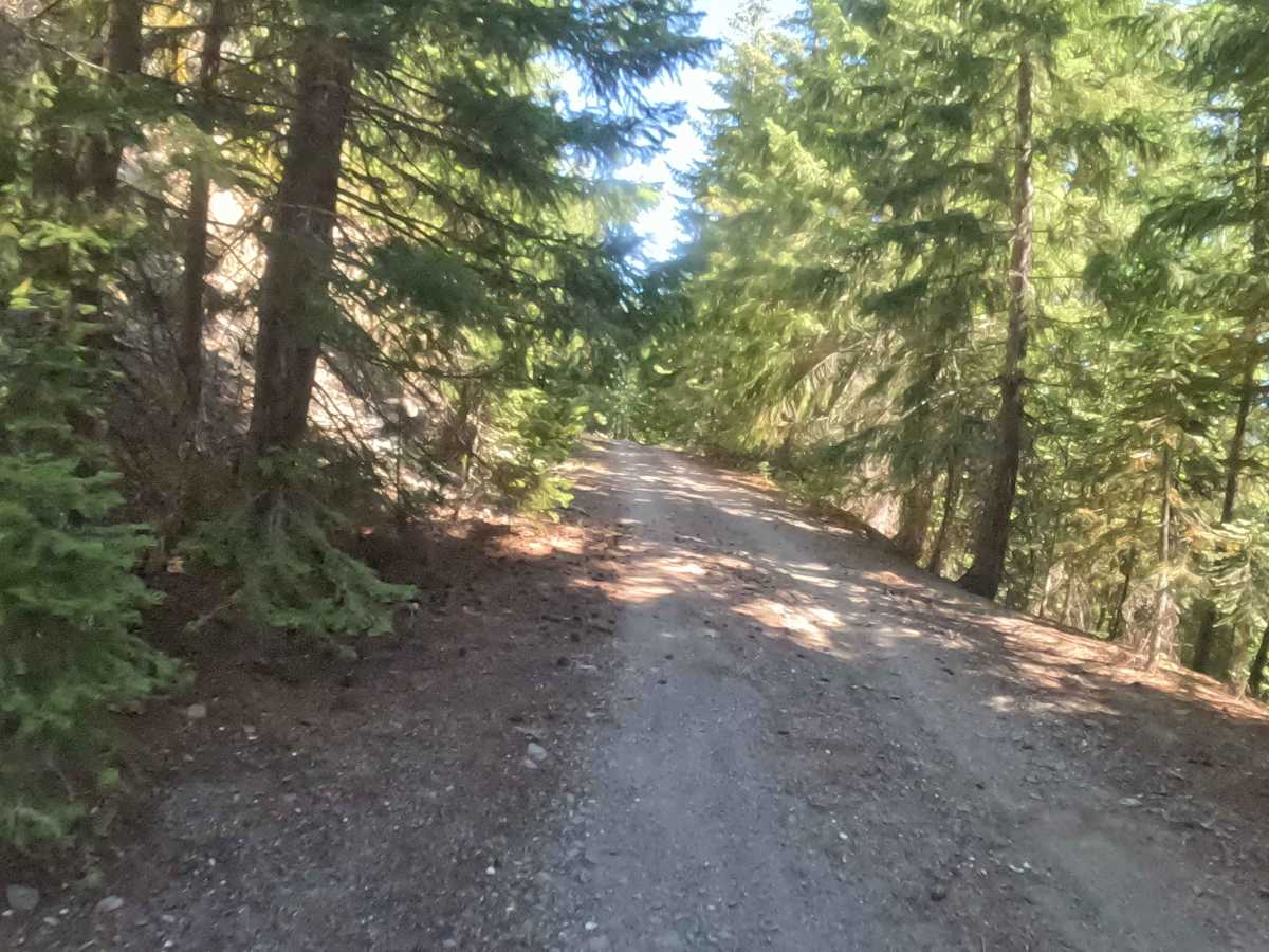
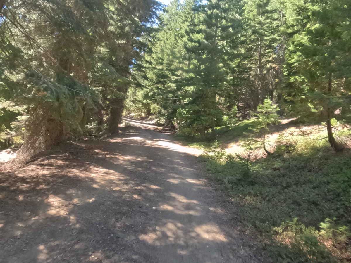
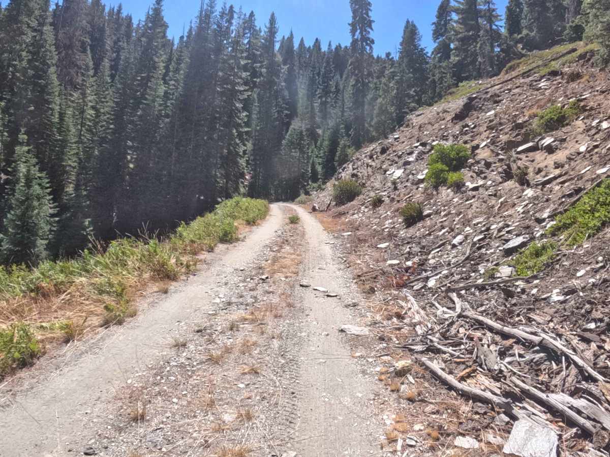
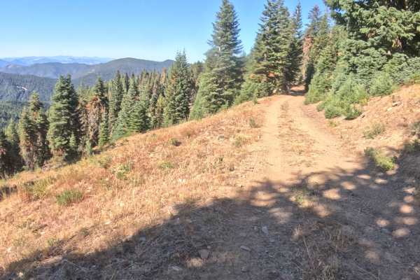
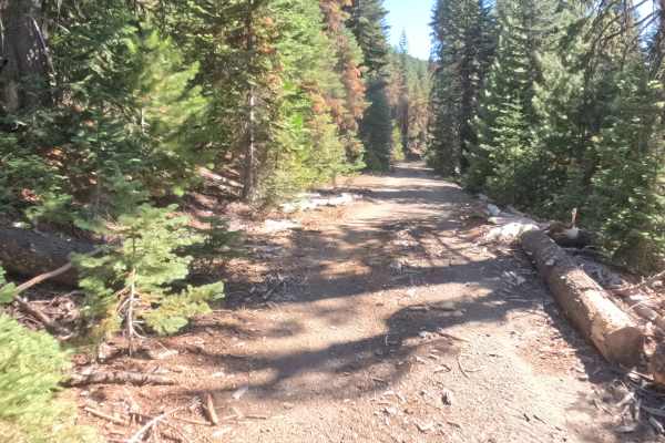
Branching off into the high-elevation backcountry, Forest Service Road 4YN44B—known locally as Upper Jaynes—is a secluded, out-and-back mountain spur located within the Klamath National Forest. The journey cuts across the steep hillside, primarily tracing a path through dense, shaded corridors of mature evergreen timber that periodically break to reveal stunning, sunlit vistas of the distant peaks and rolling valleys. Earning a manageable difficulty rating of 2, the trail consists of a hard-packed gravel and dirt surface that remains dependable throughout its length. While the route feels relatively straightforward, the tight canopy and encroaching brush significantly narrow the track in several spots, creating a cozier feel for passing travelers. Outdoor enthusiasts often utilize this quiet passage to access remote woodland viewpoints before reversing course back to the primary forest road network.
Difficulty
Rated a mild 2 on the technical scale, this out-and-back hillside spur requires focused, controlled driving rather than advanced off-road hardware. The hard-packed dirt and gravel surface provides solid, consistent traction, allowing vehicles to easily manage the gentle climbs and sweeping corners. However, drivers will encounter a series of large, rolling water bars and scattered, flat embedded rocks that introduce noticeable bumps and require careful maneuvering to navigate smoothly. Additionally, the lush, overhanging vegetation tightly crowds the pathway in several areas, which can pose minor clearance challenges for taller or wider rigs. By maintaining a sensible speed and staying alert to the occasional obstacles and narrow shoulders, travelers can safely and comfortably complete this scenic forest drive.

 Offroad