Trail Overview
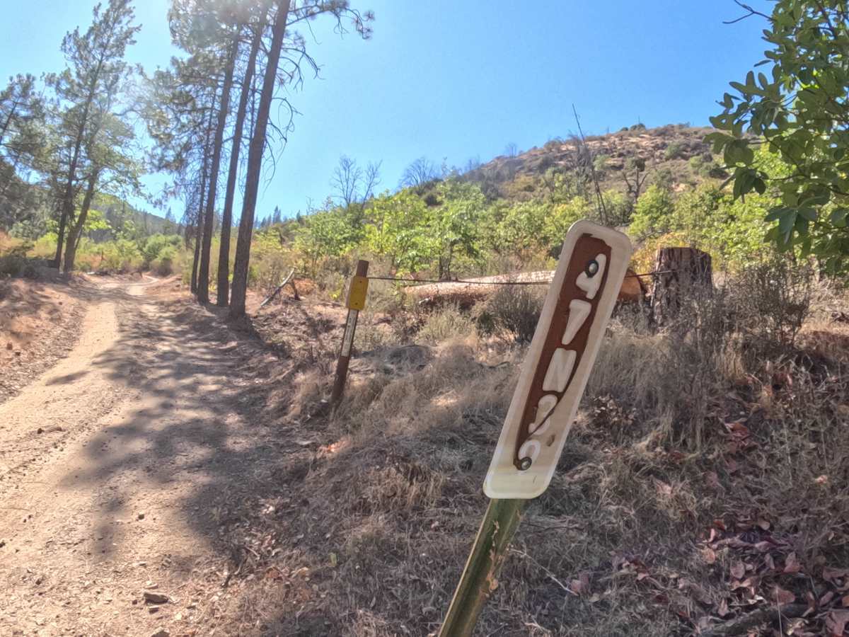
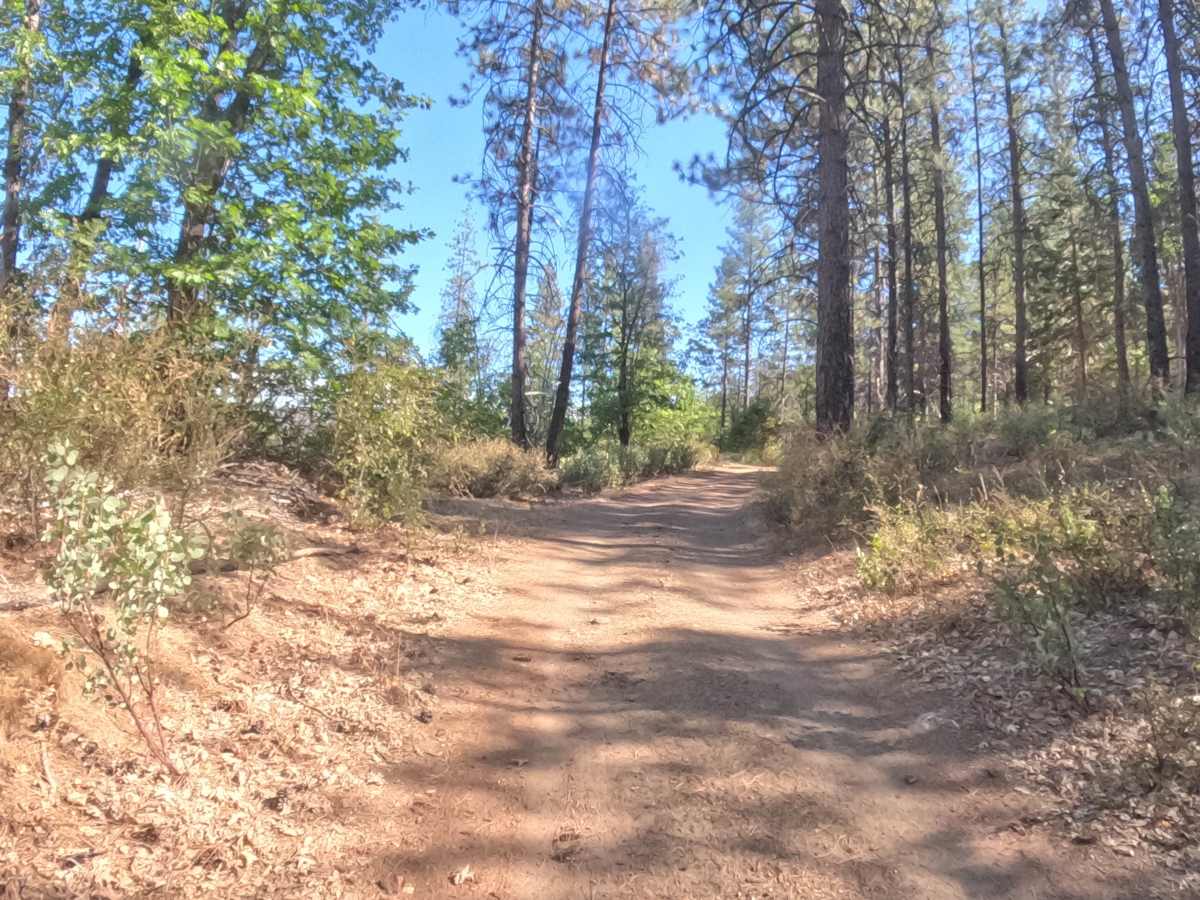
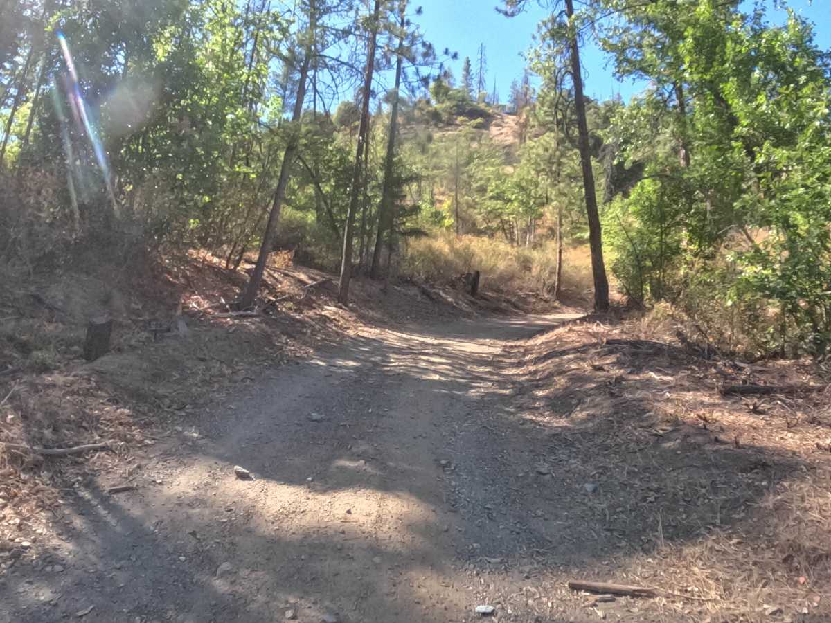
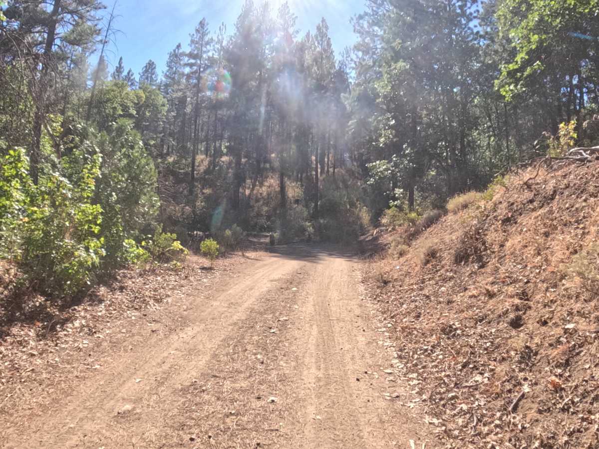
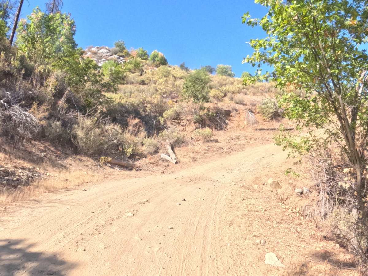
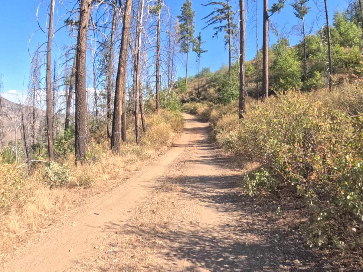
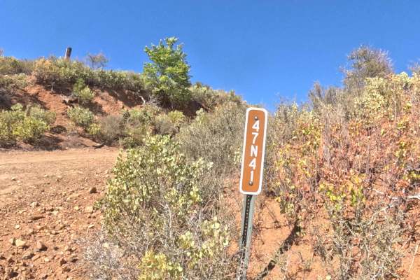
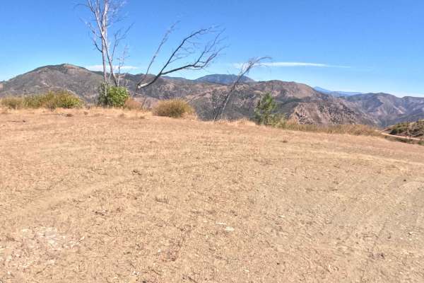
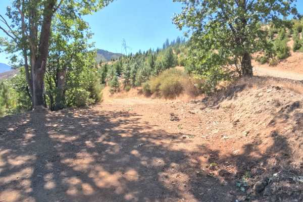
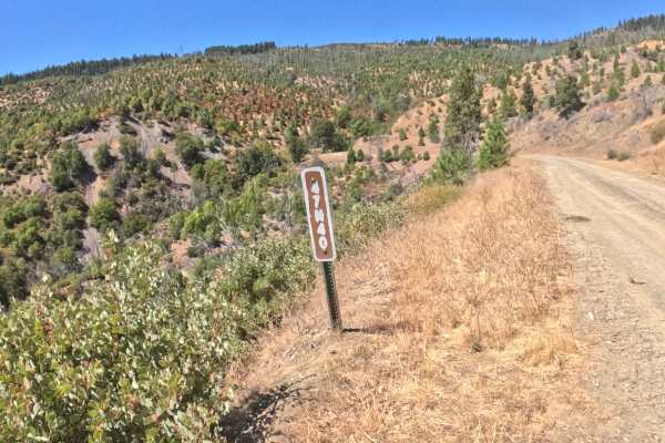
Fish Cove - FS 47N39 opens low along the Klamath River corridor in the Klamath National Forest, climbing away from the river through country still recovering from the 2022 McKinney Fire, where burned snags stand above thick regrowth of oak and shrubs. The first half is the steepest stretch, with sustained grades of 10 percent or more on a loose mix of dirt and gravel, broken up by sharp turns and brush-lined curves that limit sightlines. Scattered small rocks sit across the steeper pitches, and in places the shrubs crowd in close on both sides of the track. Higher up, the road levels into a rolling, open ridgeline with little tree cover and wide views across the surrounding Klamath Mountains. The mapped section covers 5.1 miles, and the road continues beyond it. Best driven from summer through fall.
Difficulty
Rated 3. The rating comes mainly from the lower half of the route, where sustained grades of 10% or more climb over loose gravel and scattered small rocks, making traction the main challenge going up and coming back down. Sharp turns and brush-lined curves with limited sightlines add to the workload, as do narrow stretches where shrubs press in on both sides of the track. It stays below a 4 because the photos show no ledges, large boulders, or sustained technical rock sections, and the upper half eases into a flatter, rolling ridgeline.

 Offroad