Trail Overview
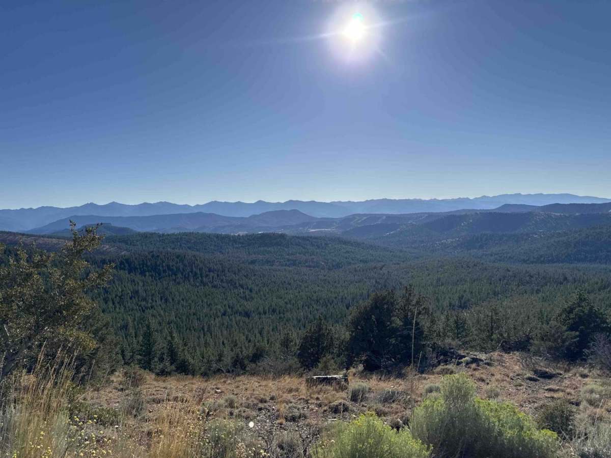
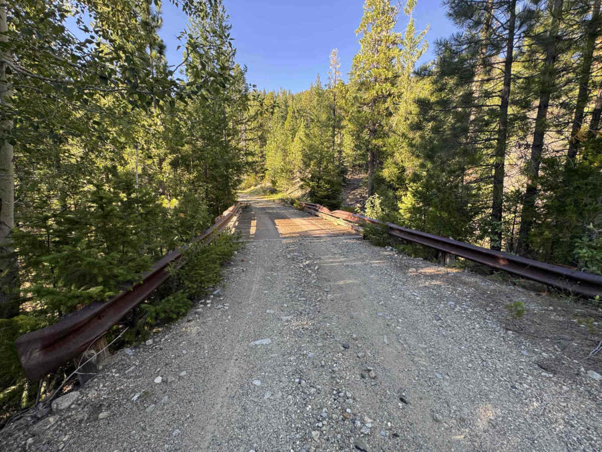
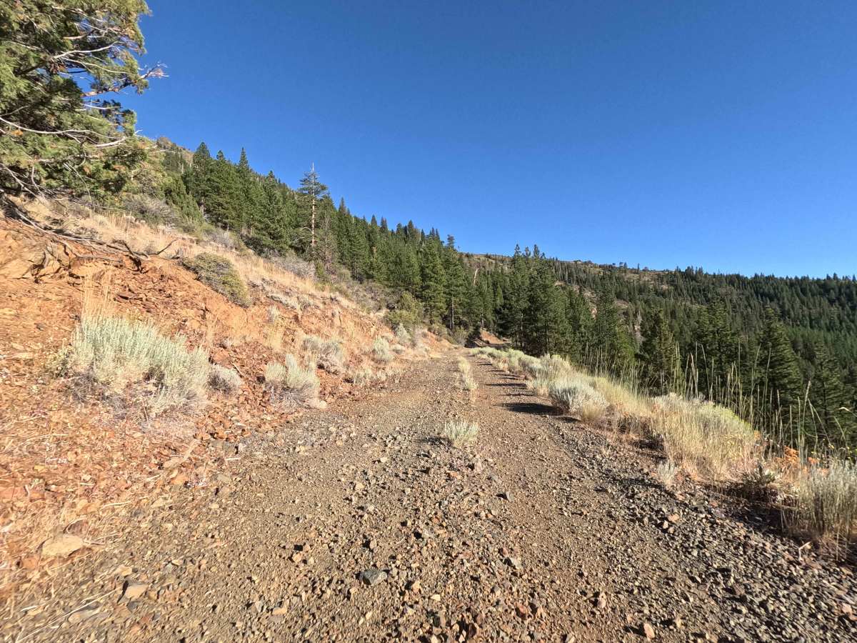
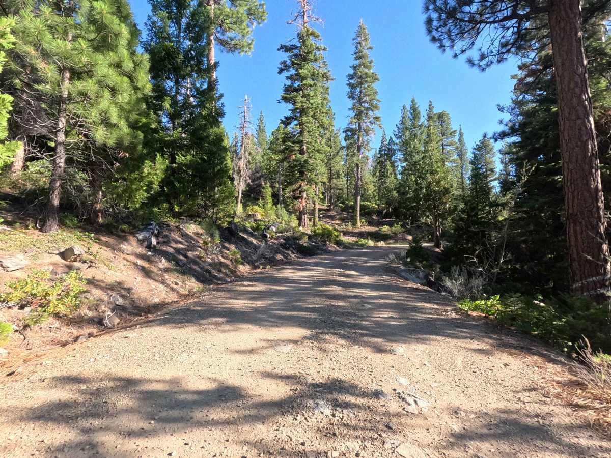
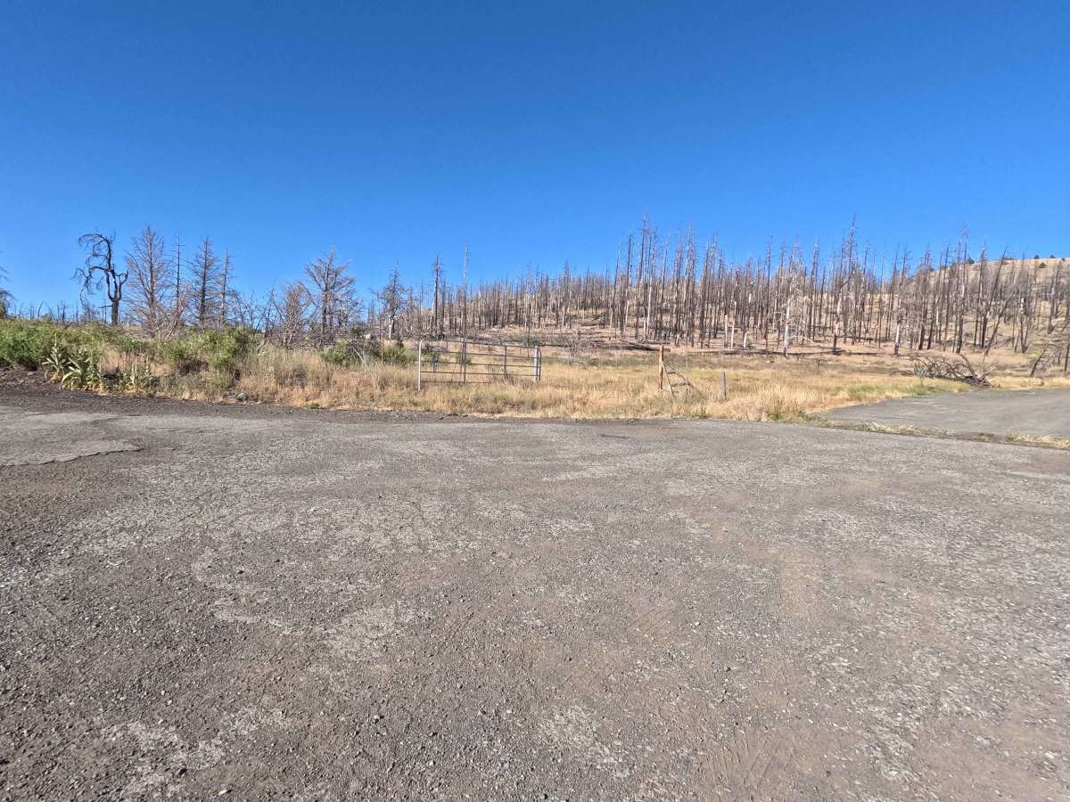
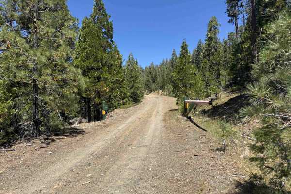
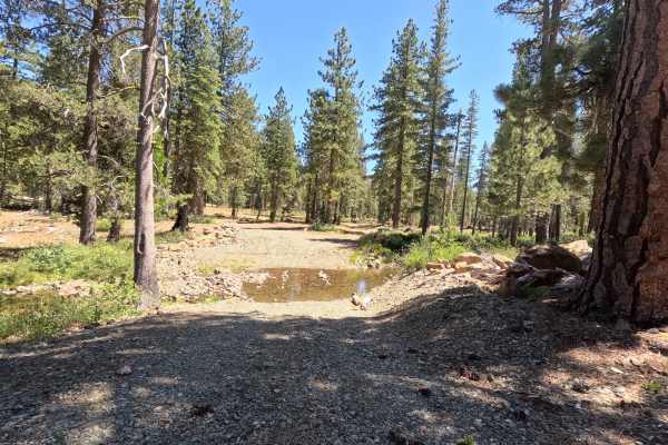
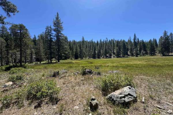
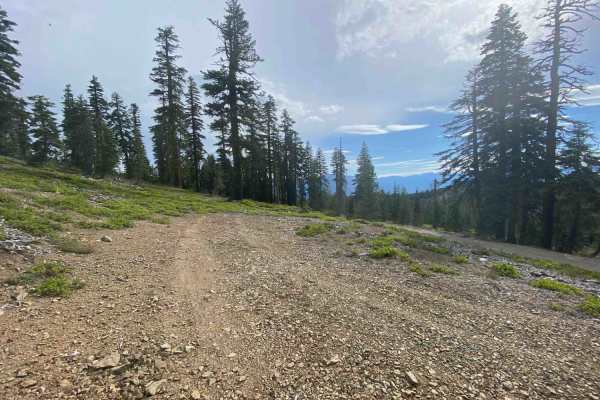
The route begins in a stark but beautifully scenic forest recovering from wildfire, eventually transitioning into a lush, green canopy as it climbs higher into the Klamath National Forest. Starting from the Gazelle Callan Highway - FS 2H01, the first couple of miles cross a metal cattle guard and wind past massive, house-sized woodstacks left over from fire recovery. As the dusty trail climbs, it pops out onto an open, western-facing mountainside, offering incredible views of rolling hills leading down the valley toward Callahan—an absolutely perfect spot for catching a warm sunset. Once you re-enter the healthy, unburned forest, you will cross a wooden creek bridge before the motorized route finally ends at a rough creek crossing. Just beyond this crossing is a peaceful meadow and a hiking trailhead that makes for a great backpacking camp setup, though be mindful of the "no fires" signs.
Difficulty
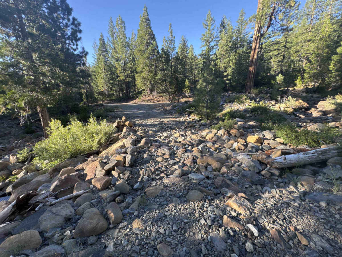
This route is primarily a wide, mixed-gravel and dirt forest service road that would typically be a very easy drive, but with challenging terrain at the very end. A severe rock garden spans a creek crossing right at the end of the route. This crossing is completely covered in loose, chunky, medium-to-large river rocks. While the vast majority of the trail is a smooth, dusty cruise with plenty of wide turnouts to pass others, this final obstacle demands extreme patience. Precise tire placement and a slow, steady pace are essential here to prevent aggressive undercarriage scraping on the rocks.