
Beginner Off-Road Trails
Near Picture Rocks, Arizona
Explore All Beginner Trails Near Picture Rocks, Arizona
Beginner Off-Road Trails Near Picture Rocks, Arizona
Discover the best beginner-friendly off-road trails near you. These easier, lower-rated trails are a great place to start — browse trail maps, check difficulty ratings, and find your next adventure.
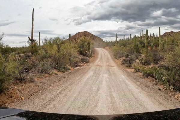
Bajada Loop, Saguaro NP
Bajada Loop is one to two-lane dirt and gravel loop road within Saguaro National Park that has lots of washboards and some potholes. It is one way in some areas and should be started from Hohokam Road to complete the loop. This loop takes you deep within the Saguaro Wilderness with access to many hi...
Learn more about Bajada Loop, Saguaro NP
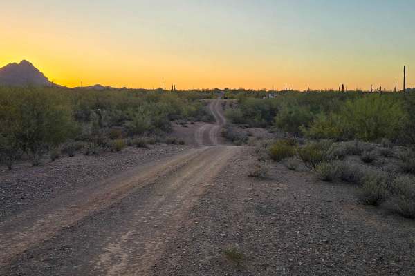
Gas Line Road
Gas Line Road offers a classic desert wheeling experience, winding through a stunning tapestry of protected landscapes, including the Ironwood Forest National Monument, BLM sections, and Arizona State Trust Land. This single-lane trek provides an intimate look at the rugged backcountry of the Southw...
Learn more about Gas Line Road
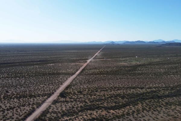
North Pump Station Road
North Pump Station Road is part of Ironwood Forest National Monument and Arizona State Trust Land. This road can be used to complete the long Silverbell Loop around the mountain. It is a smooth well graded dirt road with washboards in some areas and deep rolling washes. There are signs this area wil...
Learn more about North Pump Station Road
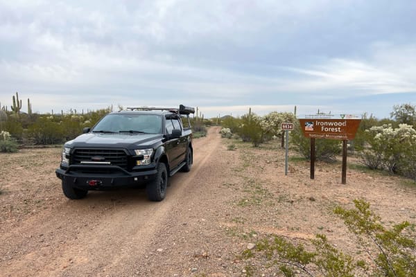
North Waterman Mountain Trail
North Waterman Mountain Trail is a narrow overgrown trail that passes through Ironwood National Monument BLM land and Arizona State Trust Land 5 miles south to West Avra Valley Road. This trail goes through many washes as it meanders through the dense saguaro and cholla valley. Expect pinstripes if ...
Learn more about North Waterman Mountain Trail
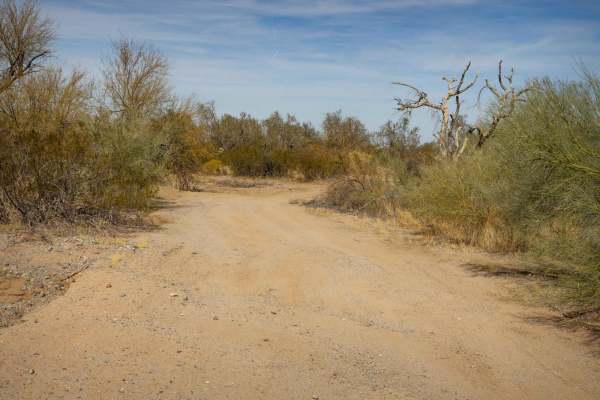
Parker Wash
Parker Wash is a typical Arizona wash, featuring the rugged, dry terrain common to the region. Parts of this wash are rocky, with packed dirt. Other sections are deep, soft sand that is easy to sink into with the possibility of getting stuck. The trail is currently blocked, making it impassable unle...
Learn more about Parker Wash
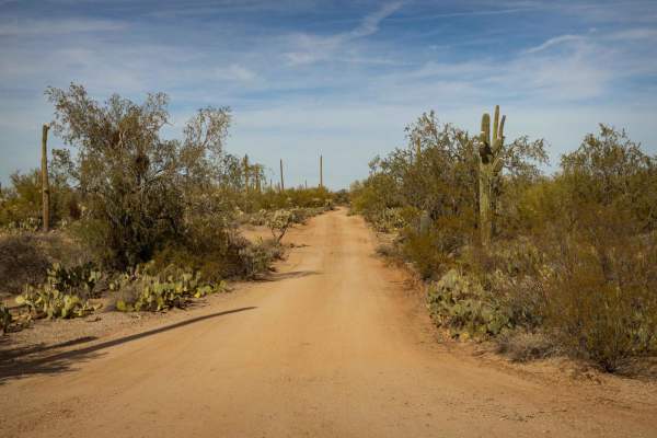
South Pygmy Owl Trail
South Pygmy Owl Trail is a narrow route that requires careful navigation due to its tight sections. The trail features wash crossings and mild erosion, adding variety to the ride, but there are no major obstacles along the way. Expect potential paint damage from nearby vegetation, so you may want to...
Learn more about South Pygmy Owl Trail
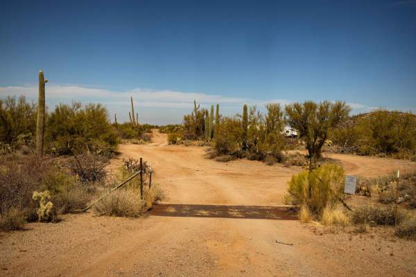
Boulevard
Boulevard is a wide and rolling trail that offers a mellow, easygoing drive. The route features gentle wash crossings and no obstacles, making it a smooth ride for vehicles of all types. With one bar of cell service in the area, it's a good idea to have offline maps downloaded before heading out.
Learn more about Boulevard
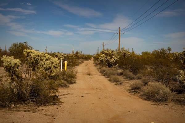
Gas Diagonal
Gas Diagonal Trail offers an exciting off-road adventure with some tricky spots, including whoops and wash crossings that require a bit of skill to navigate. There's one notable climb out of a wash that may challenge some vehicles, along with sections of erosion that add variety to the terrain. It's...
Learn more about Gas Diagonal
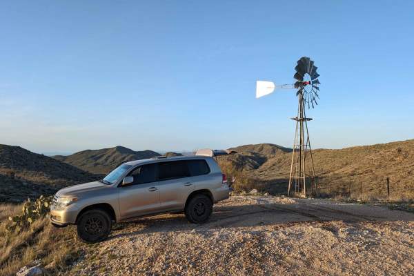
East Cochie Spring Trail
The trail veers off of the East Edwin Road just after crossing the first wash. You turn north onto the trail. The trail weaves through some tight spots in trees and cacti. The mud holes can get big after a rain, but the bottoms are mostly sandy. The main trail is the most used, but there are several...
Learn more about East Cochie Spring Trail
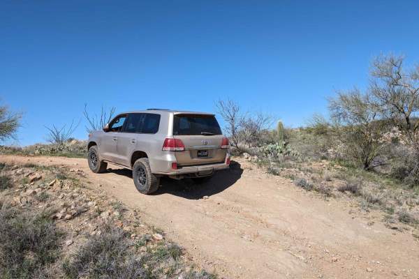
Badlands Trail
This cut-across from East Edwin Road to East Cochise Springs Road is a nice 4x4 track that leads you to many more remote campsites and to the "Badlands" loop trail system for mountain bikes. The trail takes you through some beautiful Sonoran desert vistas and past some side trails with their own fla...
Learn more about Badlands Trail
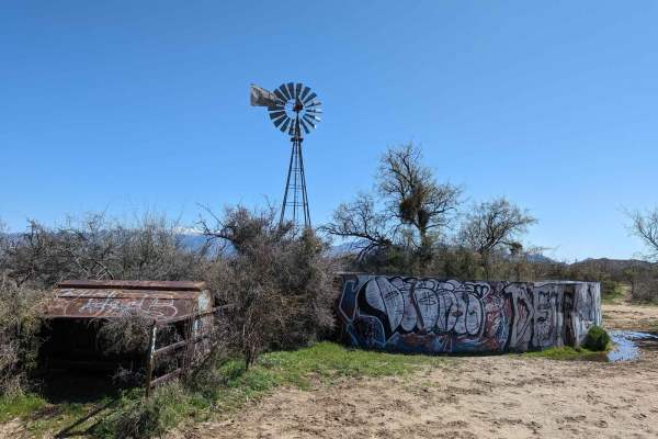
East Edwin Road
When accessing this trail, the turn to the west from Highway 77 (North Oracle Road) has its own stoplight, making the turn easier. The road has several cattle guards, some with missing bars, so be careful to not get a flat tire. Signs alert you that you're entering Arizona State Trust Land, which ne...
Learn more about East Edwin Road
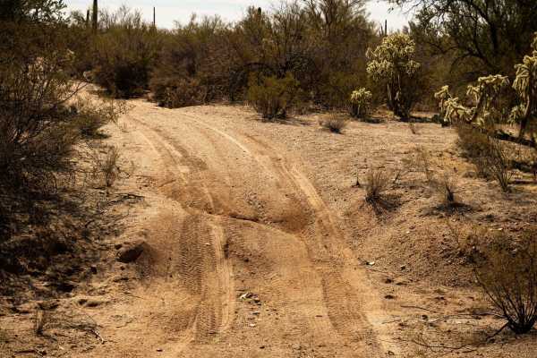
Wash Problems
Wash Problems is a narrow and rugged trail that demands careful navigation. Expect paint damage from overgrown vegetation, erosion, washouts, and off-camber sections that add to the challenge. Route finding may be necessary for certain areas as the trail shifts with the terrain and nature reclaimed ...
Learn more about Wash Problems
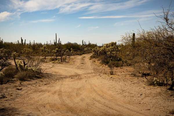
Coronado Wash Parallel
Coronado Wash Parallel is a smooth and wide trail that offers an easy drive with no obstacles. The route features mellow wash crossings and a mild section of erosion, which adds a bit of character but doesn't pose any significant challenges. Perfect for all vehicle types, this trail provides a comfo...
Learn more about Coronado Wash Parallel
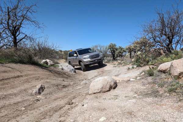
50 Year Trail Loop
Start on East Golder Ranch Drive. Turn left through the cattle guard onto E Equestrian Trail. At a corral, you take the right at the Y and proceed onto a single-vehicle-width trail. The trail remains easy with the mountain bike trail called 50 Year Trail crisscrossing the 4x4 trail and campsites alo...
Learn more about 50 Year Trail Loop
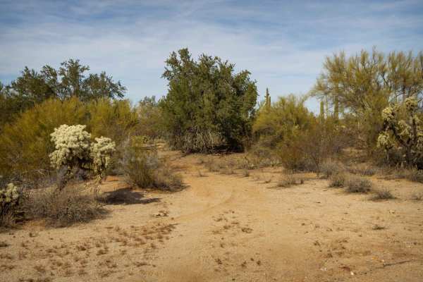
Iron Valley South
Iron Valley South is a narrow, rugged trail that offers a challenging ride with steep, off-camber sections and washouts that require careful maneuvering. Erosion and washes add variety to the terrain, with some drops adding to the technical nature of the route. Vegetation along the trail may cause p...
Learn more about Iron Valley South
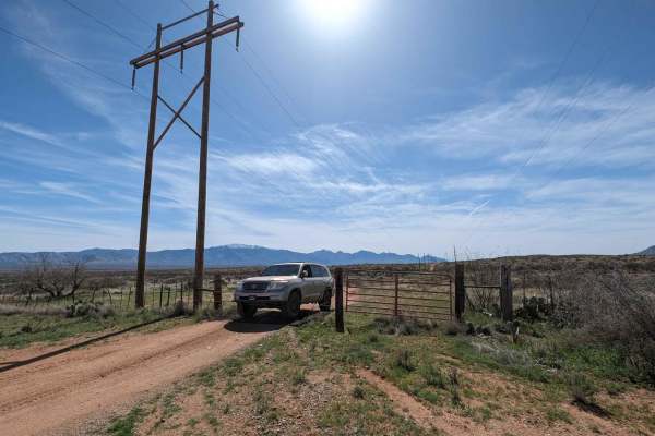
Tortolita Powerline Trail
You can start this trail from the north at Highway 79 or south at East Edwin Road. The trail follows a small powerline and cuts through several washes. Be careful in monsoon season or while raining. You pass several corrals and go through a couple of BLM grazing gates. The only hazards are cacti, tr...
Learn more about Tortolita Powerline Trail
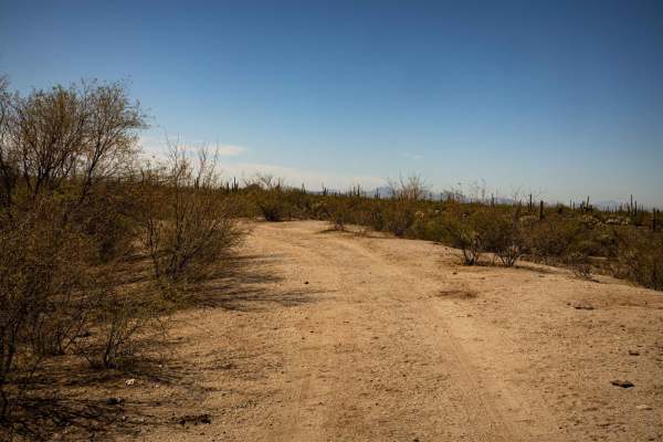
Mesa Tank to Wash Problems
This narrow, overgrown trail is a guaranteed paint-damage route, with tight turns and dense cacti lining the path. Drivers should expect a slow, careful crawl through tight sections where vegetation encroaches on the trail. Despite the challenge, a few campsites along the way offer a chance to stop ...
Learn more about Mesa Tank to Wash Problems
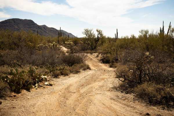
Ditch Trail
Ditch Trail begins as a narrow path and tightens further, offering a more technical drive through a cactus forest. Sneaky cacti are hidden along the route, so keep your distance to avoid potential damage. Erosion along certain sections adds an extra layer of challenge, requiring careful navigation. ...
Learn more about Ditch Trail
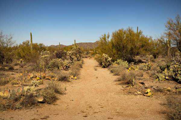
Cucumber Doppelganger
Cucumber Doppelganger is a narrow, technical trail where paint damage is guaranteed due to tight brush-lined sections. Erosion and off-camber terrain make for a challenging ride, requiring precise wheel placement. Wash crossings add to the rugged nature of the route, making it best suited for experi...
Learn more about Cucumber Doppelganger
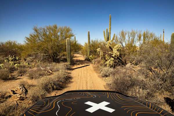
Goff Cutoff
Goff Cutoff is a vast and mellow trail that winds through a classic desert landscape dotted with towering saguaros. Erosion has shaped the route, creating rough sections that require careful driving, though nothing would cause alarm as there are no significant obstacles on this trail. Tight passages...
Learn more about Goff Cutoff
Beginner ATV trails near Picture Rocks, Arizona
Explore ATV-friendly trails near you. These trails are accessible for vehicles up to 50 inches wide, perfect for ATVs and smaller off-road machines.
Gas Line Road
Gas Line Road offers a classic desert wheeling experience, winding through a stunning tapestry of protected landscapes, including the Ironwood Forest National Monument, BLM sections, and Arizona State Trust Land. This single-lane trek provides an intimate look at the rugged backcountry of the Southw...
Learn more about Gas Line Road
North Pump Station Road
North Pump Station Road is part of Ironwood Forest National Monument and Arizona State Trust Land. This road can be used to complete the long Silverbell Loop around the mountain. It is a smooth well graded dirt road with washboards in some areas and deep rolling washes. There are signs this area wil...
Learn more about North Pump Station Road
North Waterman Mountain Trail
North Waterman Mountain Trail is a narrow overgrown trail that passes through Ironwood National Monument BLM land and Arizona State Trust Land 5 miles south to West Avra Valley Road. This trail goes through many washes as it meanders through the dense saguaro and cholla valley. Expect pinstripes if ...
Learn more about North Waterman Mountain Trail
Parker Wash
Parker Wash is a typical Arizona wash, featuring the rugged, dry terrain common to the region. Parts of this wash are rocky, with packed dirt. Other sections are deep, soft sand that is easy to sink into with the possibility of getting stuck. The trail is currently blocked, making it impassable unle...
Learn more about Parker Wash
Beginner UTV/side-by-side trails near Picture Rocks, Arizona
Find UTV and side-by-side trails near you. These trails accommodate vehicles up to 60 inches wide, ideal for UTVs, side-by-sides, and wider off-road rigs.
Gas Line Road
Gas Line Road offers a classic desert wheeling experience, winding through a stunning tapestry of protected landscapes, including the Ironwood Forest National Monument, BLM sections, and Arizona State Trust Land. This single-lane trek provides an intimate look at the rugged backcountry of the Southw...
Learn more about Gas Line Road
North Pump Station Road
North Pump Station Road is part of Ironwood Forest National Monument and Arizona State Trust Land. This road can be used to complete the long Silverbell Loop around the mountain. It is a smooth well graded dirt road with washboards in some areas and deep rolling washes. There are signs this area wil...
Learn more about North Pump Station Road
North Waterman Mountain Trail
North Waterman Mountain Trail is a narrow overgrown trail that passes through Ironwood National Monument BLM land and Arizona State Trust Land 5 miles south to West Avra Valley Road. This trail goes through many washes as it meanders through the dense saguaro and cholla valley. Expect pinstripes if ...
Learn more about North Waterman Mountain Trail
Parker Wash
Parker Wash is a typical Arizona wash, featuring the rugged, dry terrain common to the region. Parts of this wash are rocky, with packed dirt. Other sections are deep, soft sand that is easy to sink into with the possibility of getting stuck. The trail is currently blocked, making it impassable unle...
Learn more about Parker Wash
The onX Offroad Difference
onX Offroad combines trail photos, descriptions, difficulty ratings, width restrictions, seasonality, and more in a user-friendly interface. Available on all devices, with offline access and full compatibility with CarPlay and Android Auto. Discover what you're missing today!
Open Trail Map