
Beginner Off-Road Trails
Near Gaastra, Michigan
Explore All Beginner Trails Near Gaastra, Michigan
Beginner Off-Road Trails Near Gaastra, Michigan
Discover the best beginner-friendly off-road trails near you. These easier, lower-rated trails are a great place to start — browse trail maps, check difficulty ratings, and find your next adventure.
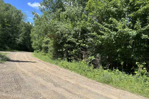
FS 2423
FS 2423 runs from its intersection with Highway 70 to its intersection with FS 2452. This trail is a moderately wide forest road that twists and turns through the northern highlands of Wisconsin. The trail for most of its length is wide enough for two vehicles to pass each other at slow speeds. The ...
Learn more about FS 2423
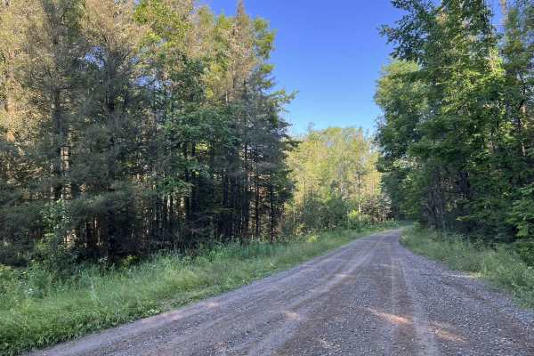
FS 2156
Forest Road 2156 navigates from its intersection with East Halsey Lake Road to its intersection with Forest Road 2450. This trail is like many other longer forest roads in the Nicolet National Forest. It is moderately maintained with a firm gravel base. The trail is wide enough for two vehicles for ...
Learn more about FS 2156
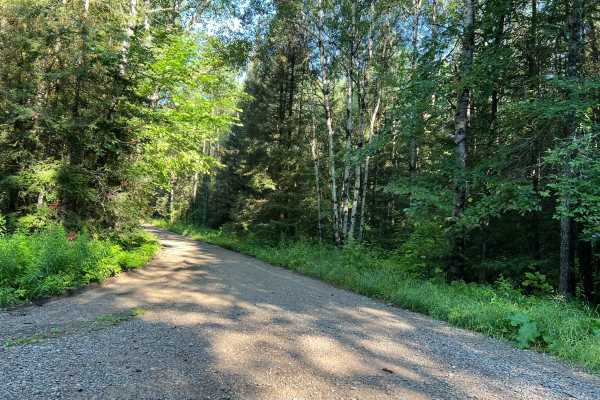
Dead Mans Road - FS 2832
This trail begins as a semi-maintained gravel forest road that is just over one vehicle wide, with good sight lines and good traction thanks to the surface. At roughly the halfway mark, the trail transitions to a two-track dirt trail. This section of the trail has several steep hills, as well as man...
Learn more about Dead Mans Road - FS 2832
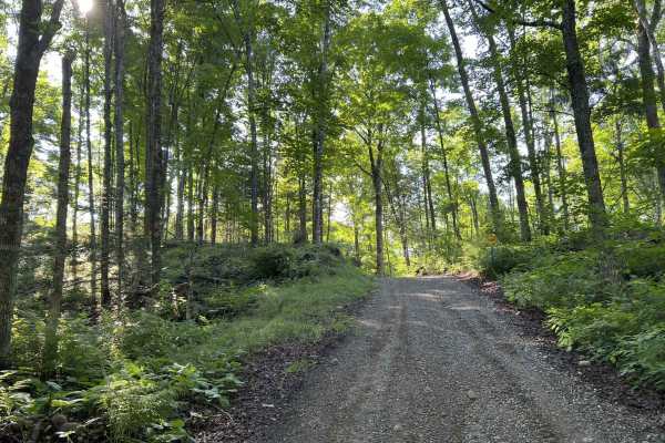
Rock Creek Road - Florence County F14
When starting this trail from FR 2832 to FR 2161, the route begins in the National Forest. This section of the national forest is very hilly, with lots of elevated points as well as deep bowls. The trail follows a good amount of this terrain as it winds through this section of forest. The trail in t...
Learn more about Rock Creek Road - Florence County F14
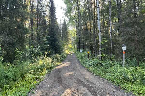
FS 56869 - Florence County F11
This portion of Florence County F11 navigates from its intersection with Forest Road 2076 to its intersection with Forest Road 2156. This trail is narrow and relatively rugged for a western Florence County trail. This ruggedness is somewhat weather-dependent, as there are many low spots located thro...
Learn more about FS 56869 - Florence County F11
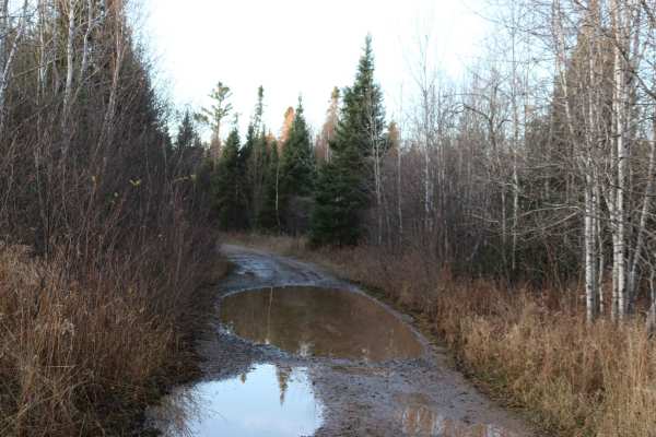
Swan Rd
This trail, a mix of gravel road and unmaintained 2-track, will take you deep into the UP woods. It is mostly flat with gentle grades and several blind corners with potential for 2-way traffic. The water holes have solid bottoms but can be a foot deep following a rain or Spring runoff.
Learn more about Swan Rd
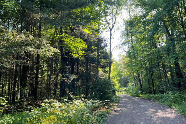
FS 2156L
This is the westernmost section of Florence County's F14 Trail. This trail navigates from its intersection with FS 2156 to its intersection with FS 2832. (FS 2832 is also a part of the F14 Trail but is open to 4x4s.) The trail surface is mostly smooth gravel, which eliminates any of the obstacles th...
Learn more about FS 2156L
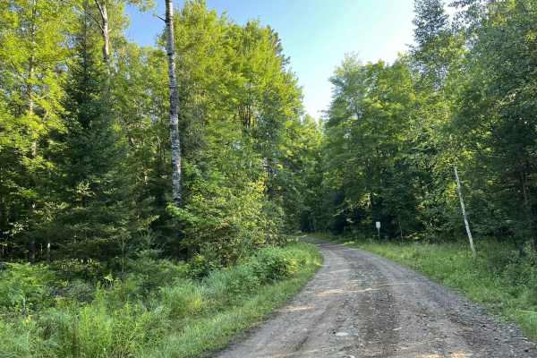
Fay Lake Outlet - FS 2076
This is a narrow forest road open to multiple vehicle types and is just wider than a typical 4x4. This road is most popular with ATV's and SxS's as a portion of the F11 trail navigates on and off of this trail. The scenery along this trail is dominated by dense mature forests. The trail is mostly fl...
Learn more about Fay Lake Outlet - FS 2076
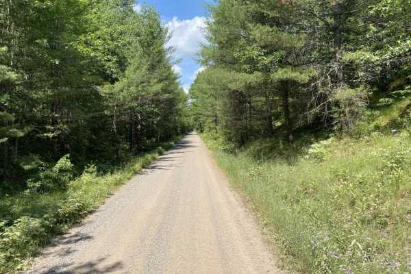
Stateline Route
The Stateline Route is a scenic, 13.7-mile trail following a historic railroad bed along Wisconsin's northern border. Connecting Florence, Spread Eagle, and Iron Mountain, this flat dirt and gravel route is ideal for stock 4x4s, ATVs, UTVs, and dual-sport motorcycles. With a technical rating of 1, t...
Learn more about Stateline Route
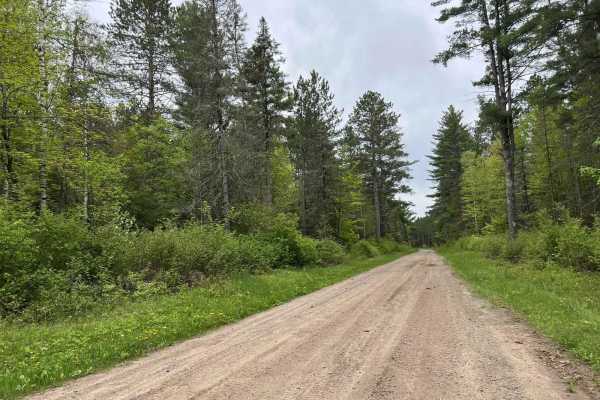
McArthur Pine FR 2167
This trail, like many others in the area, is a good mix of elevation changes as well as medium to long sweeping corners. Sight lines in these corners are also exceptional due to the extra runoff on each side of the trail. This trail is a great detour for ATV and SxS traffic traveling on the Nicolet ...
Learn more about McArthur Pine FR 2167
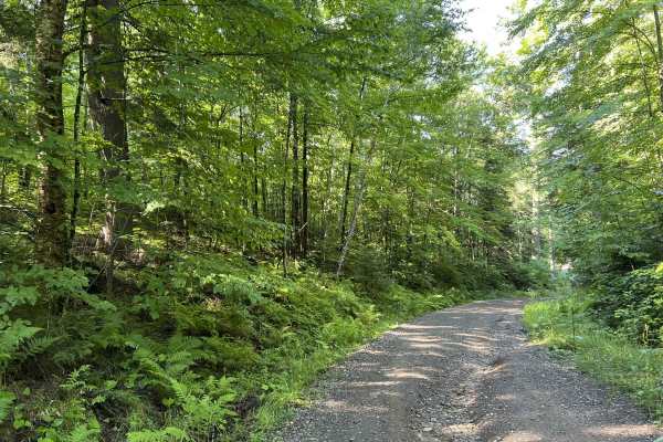
Lyme Timberlands - Florence County F14
Lyme Timberlands Florence County F14 is a multi-use private timberland road open to a variety of vehicle types. This trail runs from its intersection with FS 2161 to its intersection with Grade Road. This trail also serves as the lower section of the Florence County F14 ATV and SxS trail. This dirt ...
Learn more about Lyme Timberlands - Florence County F14
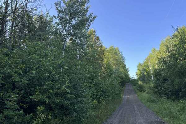
Quinlan Spur Road - Florence County F5
Florence County F5 Quinlan Spur Road runs from its intersection with the Nicolet State Trail to its intersection with Tile Mill Road. This is a short spur trail that is used to access the western portion of Florence County's ATV and SxS trail system. This is the first half of this trail if ridden fr...
Learn more about Quinlan Spur Road - Florence County F5
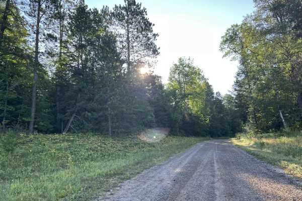
Tie Mill Road - FS 2402
This is a moderately maintained forest road that navigates through the western end of Florence County and is open to on-road vehicles as well as off-road vehicles. The trail has a firm dirt/ gravel base for its entire length. The trail's width is just over one vehicle wide in most areas, but some p...
Learn more about Tie Mill Road - FS 2402
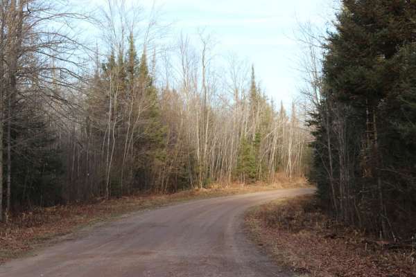
Long Lake Road - FS 2168
This route is a graded forest service road that runs East-West connecting State Highway 55 to State Highway 139. It is 6 miles of gravel that ends at pavement near Long Lake. This route is two lanes wide and well-maintained. This is a main connector to several smaller forest roads.
Learn more about Long Lake Road - FS 2168
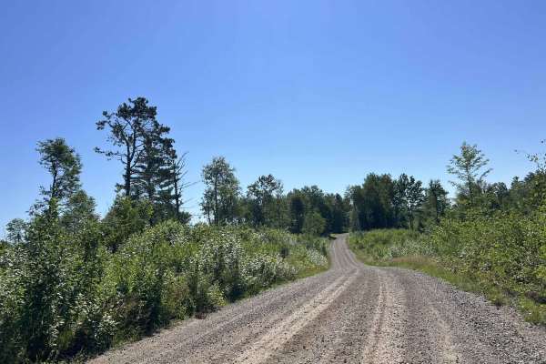
FS 2398
FS 2398 navigates from its northern intersection with FS 2161 to its southern intersection with FS 2162. This trail is open to all vehicle types and is moderately maintained, meaning the gravel surface is typically graded at least once a year. This trail travels through a large variety of scenery ty...
Learn more about FS 2398
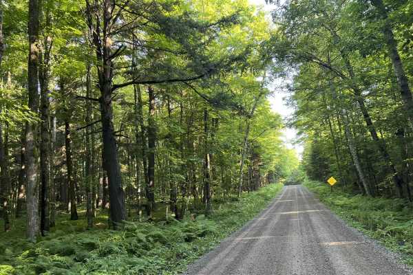
Lost Lake Road - FS 2158
Forest Road 2158, Lost Lake Rd is a multi-use gravel Forest Road. This trail navigates from its intersection with Forest Rd 2161, to its intersection with Forest Road 2156, Halsey Lake Rd. This trail is moderately maintained, like many other gravel forest roads within the National Forest. The trail ...
Learn more about Lost Lake Road - FS 2158
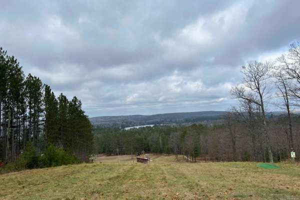
Florence County F6 North Horseshoe
This trail is a part of the Florence County F6 Trail. It is a newer trail not currently on the official ATV/SXS trail map as of 11/24. It is a small horseshoe that runs from intersection 18 to 19. This trail is very scenic, offering a lookout spot located 1/4Mi south of the intersection 18 trailhead...
Learn more about Florence County F6 North Horseshoe
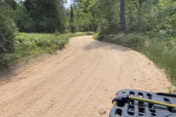
Keyes Lake Loop
This is a short loop around Keyes Lake that can be used to go to several bars and restaurants in the area. Mainly road routes with several sand and gravel sections connecting them. Bars on this route, as of July 2020, include Annie's Trading Post, Leff's, Northern Lites, as well as the Keyes Lake Ca...
Learn more about Keyes Lake Loop
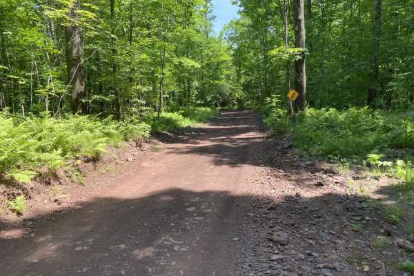
Lake Emily to Spread Eagle
This scenic 14-mile route from Lake Emily to Spread Eagle is an ideal, easy-going ride for families and off-road beginners looking to explore the beautiful, densely forested landscape of Florence County. Characterized by wide, winding trails with a technical rating of 1, the route is extremely acces...
Learn more about Lake Emily to Spread Eagle
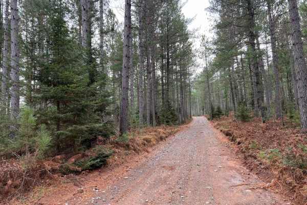
Florence County F2 Lake Emily
This seven-mile stretch of trail runs along part of the Florence County F2 Trail. Starting at Intersection 18 and ending at Intersection 17. If traveling from Intersection 17 North, this trail will begin as hard-packed clay/ gravel, much like what many other trails in the area offer. Certain spots o...
Learn more about Florence County F2 Lake Emily
Beginner ATV trails near Gaastra, Michigan
Explore ATV-friendly trails near you. These trails are accessible for vehicles up to 50 inches wide, perfect for ATVs and smaller off-road machines.
FS 2156
Forest Road 2156 navigates from its intersection with East Halsey Lake Road to its intersection with Forest Road 2450. This trail is like many other longer forest roads in the Nicolet National Forest. It is moderately maintained with a firm gravel base. The trail is wide enough for two vehicles for ...
Learn more about FS 2156
Dead Mans Road - FS 2832
This trail begins as a semi-maintained gravel forest road that is just over one vehicle wide, with good sight lines and good traction thanks to the surface. At roughly the halfway mark, the trail transitions to a two-track dirt trail. This section of the trail has several steep hills, as well as man...
Learn more about Dead Mans Road - FS 2832
Rock Creek Road - Florence County F14
When starting this trail from FR 2832 to FR 2161, the route begins in the National Forest. This section of the national forest is very hilly, with lots of elevated points as well as deep bowls. The trail follows a good amount of this terrain as it winds through this section of forest. The trail in t...
Learn more about Rock Creek Road - Florence County F14
FS 56869 - Florence County F11
This portion of Florence County F11 navigates from its intersection with Forest Road 2076 to its intersection with Forest Road 2156. This trail is narrow and relatively rugged for a western Florence County trail. This ruggedness is somewhat weather-dependent, as there are many low spots located thro...
Learn more about FS 56869 - Florence County F11
Beginner UTV/side-by-side trails near Gaastra, Michigan
Find UTV and side-by-side trails near you. These trails accommodate vehicles up to 60 inches wide, ideal for UTVs, side-by-sides, and wider off-road rigs.
FS 2156
Forest Road 2156 navigates from its intersection with East Halsey Lake Road to its intersection with Forest Road 2450. This trail is like many other longer forest roads in the Nicolet National Forest. It is moderately maintained with a firm gravel base. The trail is wide enough for two vehicles for ...
Learn more about FS 2156
Dead Mans Road - FS 2832
This trail begins as a semi-maintained gravel forest road that is just over one vehicle wide, with good sight lines and good traction thanks to the surface. At roughly the halfway mark, the trail transitions to a two-track dirt trail. This section of the trail has several steep hills, as well as man...
Learn more about Dead Mans Road - FS 2832
Rock Creek Road - Florence County F14
When starting this trail from FR 2832 to FR 2161, the route begins in the National Forest. This section of the national forest is very hilly, with lots of elevated points as well as deep bowls. The trail follows a good amount of this terrain as it winds through this section of forest. The trail in t...
Learn more about Rock Creek Road - Florence County F14
FS 56869 - Florence County F11
This portion of Florence County F11 navigates from its intersection with Forest Road 2076 to its intersection with Forest Road 2156. This trail is narrow and relatively rugged for a western Florence County trail. This ruggedness is somewhat weather-dependent, as there are many low spots located thro...
Learn more about FS 56869 - Florence County F11
The onX Offroad Difference
onX Offroad combines trail photos, descriptions, difficulty ratings, width restrictions, seasonality, and more in a user-friendly interface. Available on all devices, with offline access and full compatibility with CarPlay and Android Auto. Discover what you're missing today!
Open Trail Map