Trail Overview
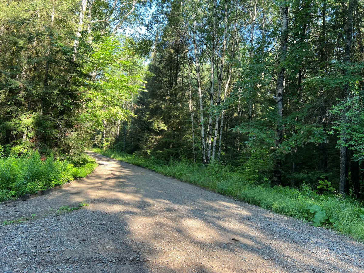
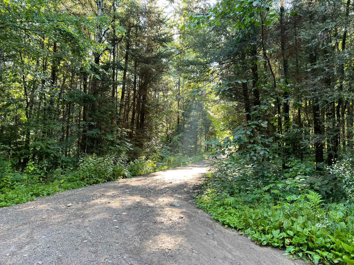
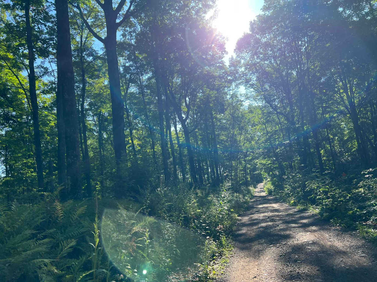
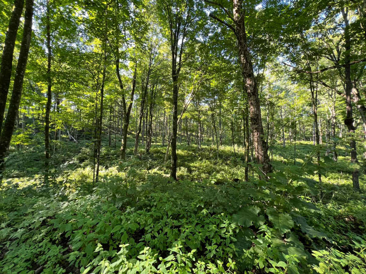
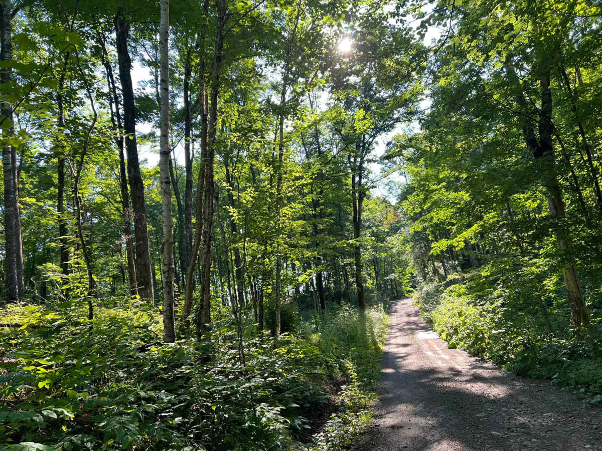
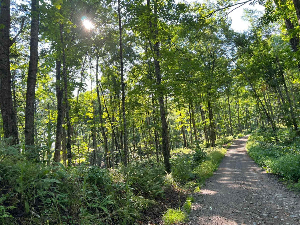
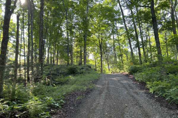
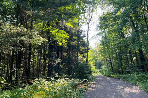
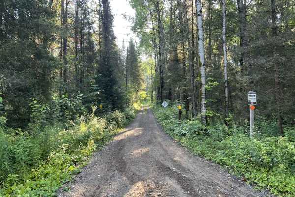
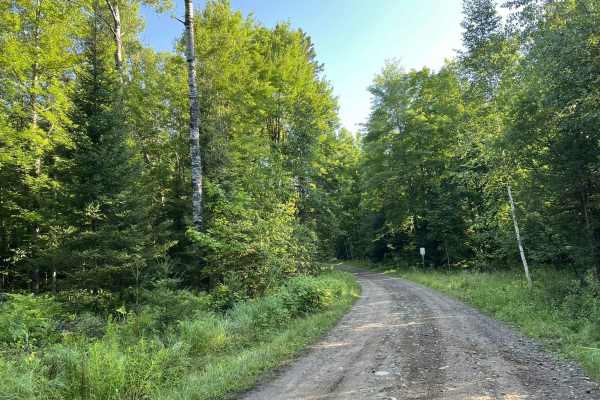
This trail begins as a semi-maintained gravel forest road that is just over one vehicle wide, with good sight lines and good traction thanks to the surface. At roughly the halfway mark, the trail transitions to a two-track dirt trail. This section of the trail has several steep hills, as well as many hills around the trail that create a scenic drive. Many low spots on this section create small to medium-sized mud holes and water spots. These typically remain under 6 inches deep, but the mud depth can vary depending on how frequently the trail has been traveled. There are several clearings along this section of trail which allow for some of the remote elevation changes in this section of forest to be seen. This area is especially picturesque in the fall months thanks to all of the colors provided by the variety of trees in the area. For the individuals looking for dispersed camping, this trail is a great choice thanks to how remote it is. There is a small clearing/ turn around located at the end of the trail. There is a portion of this trail that is roughly .5 miles long on the first 1/3rd of the trail that is open to ATV and SxS traffic navigating on the F14 trail located off this trail. This is the only portion of the trail open to ATV and SxS traffic. Cell service in this area is very spotty and can be slow in the summer months due to demand on the towers. Traveling with downloaded maps is advised.
Difficulty
This trail can be navigated by riders of all experience levels. The initial part of the trail is easy to navigate and has a firm gravel base. There are several blind corners, so be sure to watch out for oncoming traffic. The second half of the trail transitions into a narrow dirt two-track. There are small to medium-sized soupy mud holes throughout this section. These are typically less than 4-6 inches deep but can be up to 8 inches or more depending on the amount of traffic the trail sees.