Trail Overview
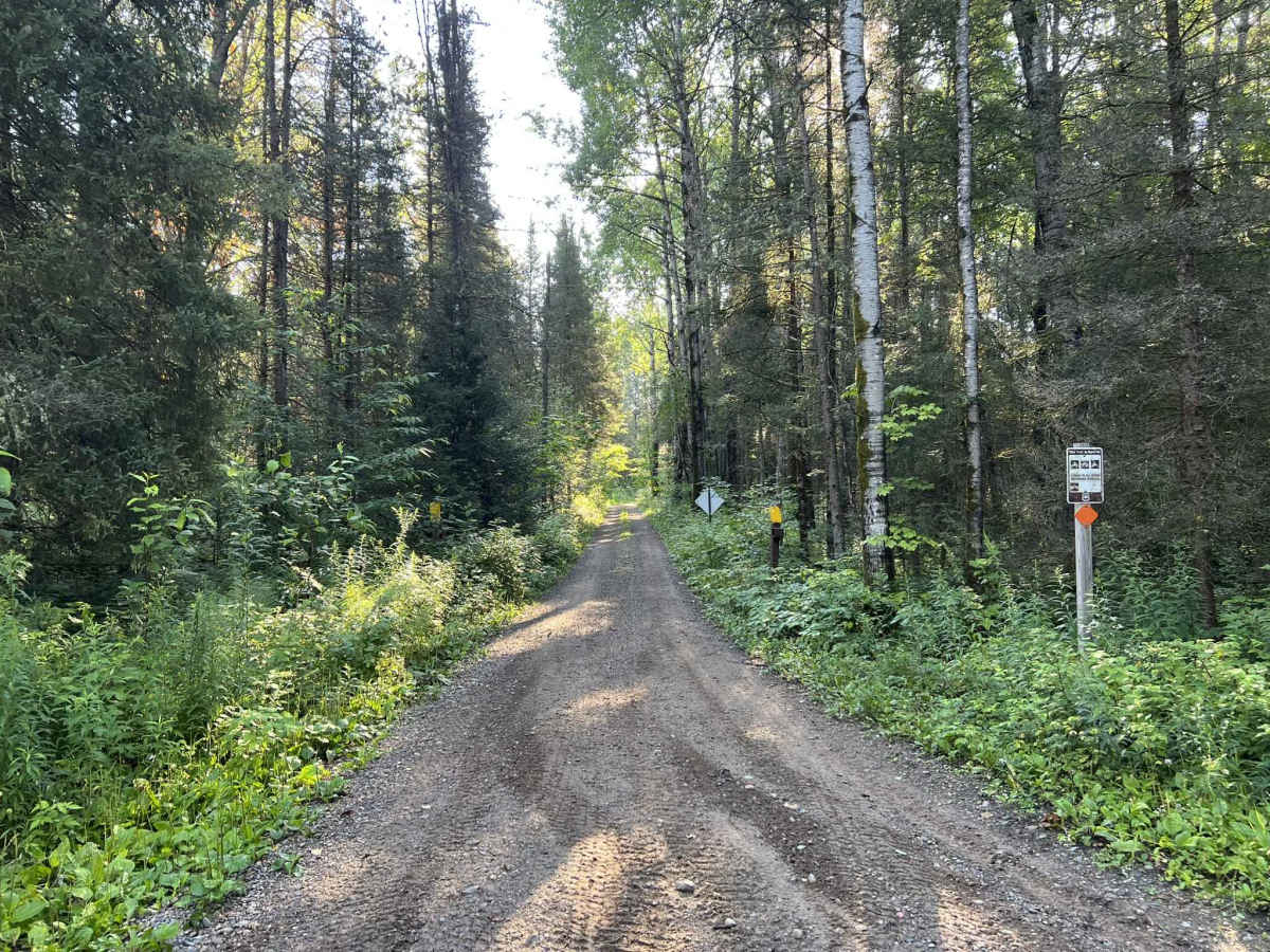
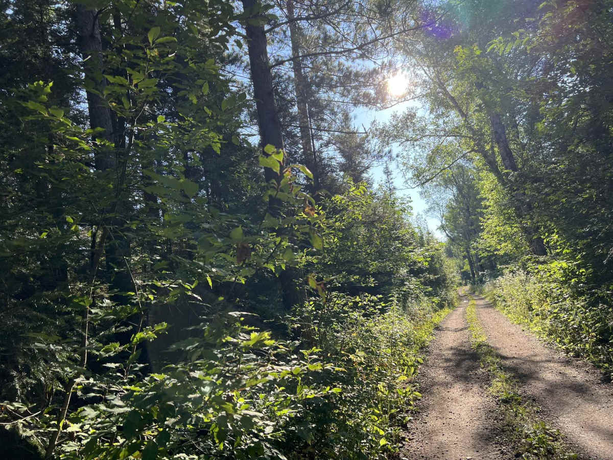
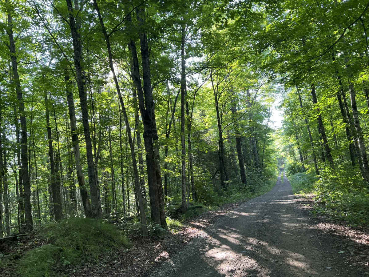
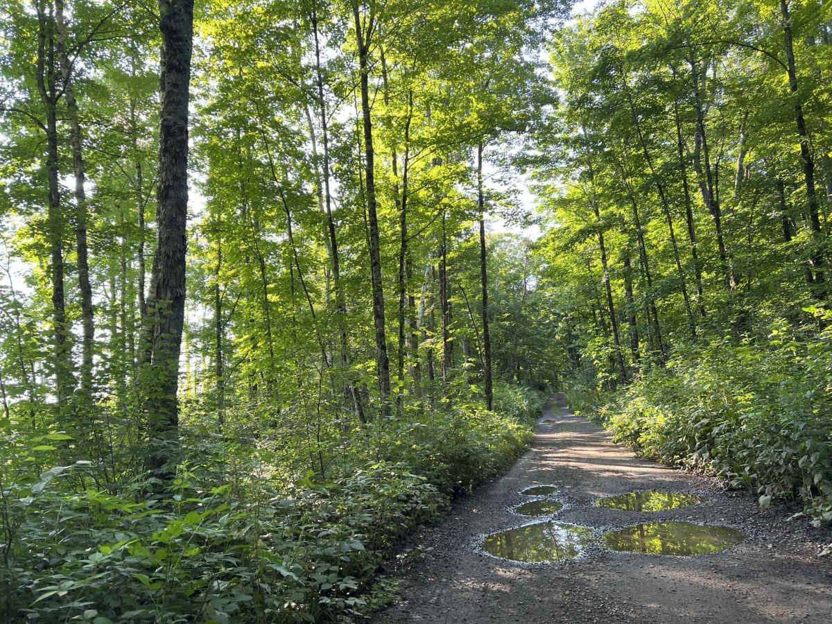
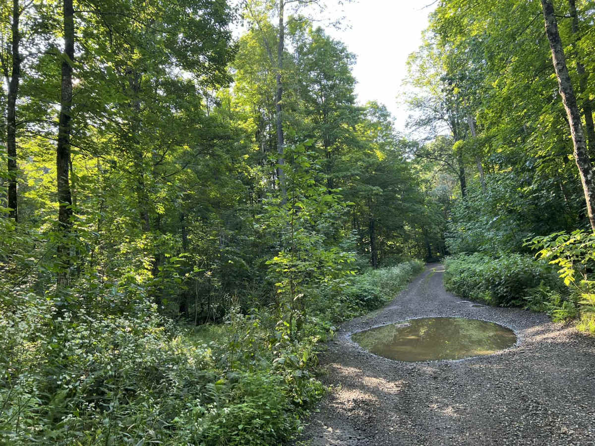
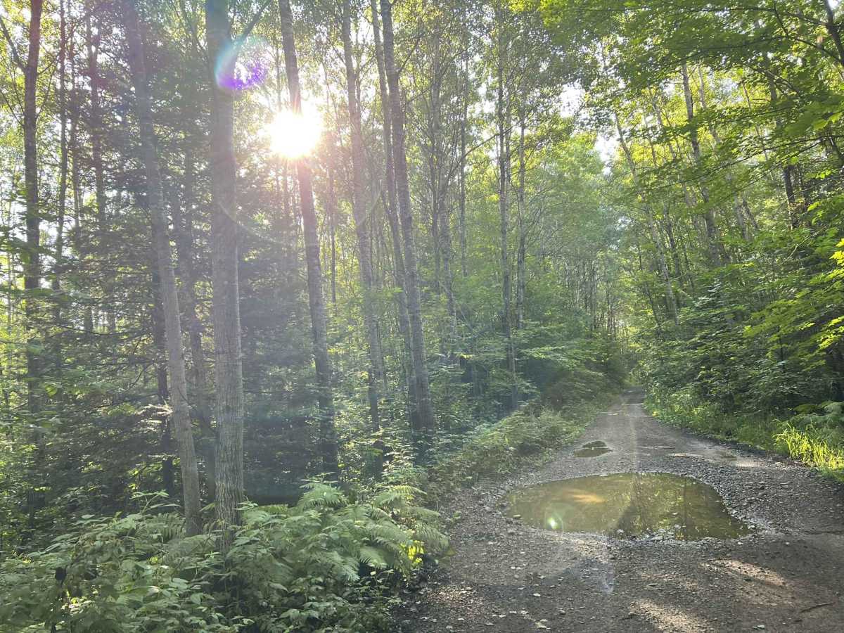
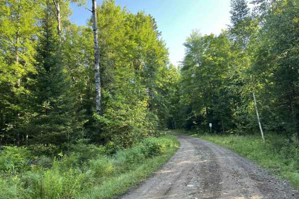
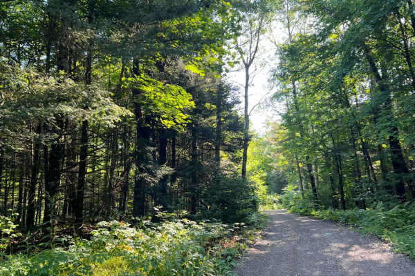
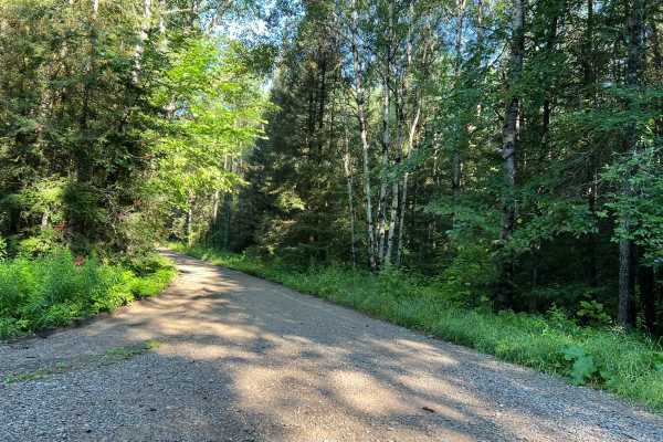
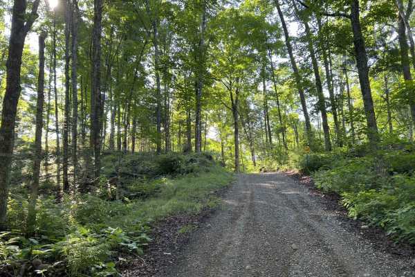
This portion of Florence County F11 navigates from its intersection with Forest Road 2076 to its intersection with Forest Road 2156. This trail is narrow and relatively rugged for a western Florence County trail. This ruggedness is somewhat weather-dependent, as there are many low spots located throughout this trail that will fill with water after a recent rainfall. The deepest of these water spots will remain under 8 in. The trail surface is mostly hard pack, transitioning from dirt to gravel in several areas of the trail. As the trail ages, there are also beginning to be small to medium-sized rocks that are protruding through the trail's surface. The trail is just over one SxS wide in its narrowest sections. Most areas do have enough space for vehicles to pass each other at slow speeds. There are many blind corners on this trail, which affect its sight lines. In addition, the surrounding forest is also quite thick, obscuring sight lines further. The trail is relatively flat with only small rolling hills on and around the trail. Cell service in this area is not as good as it is on other trails to the west of this trail. Downloaded maps should be used, especially when exploring further east, as a large portion of the adjacent F14 navigates through private forestry land.
Difficulty
This is a mild trail with only a couple of obstacles located on the trail. These are mostly created by low spots in the trail, which can fill with water after a recent rainfall. These should be under 8 in deep and have a firm base. The trail is narrow, and there are many blind corners which can obstruct oncoming views.

 Offroad