Trail Overview
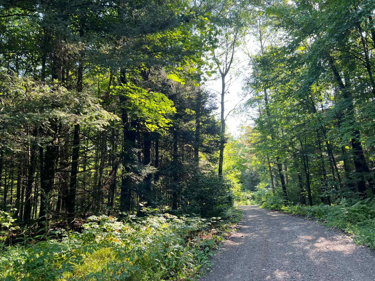
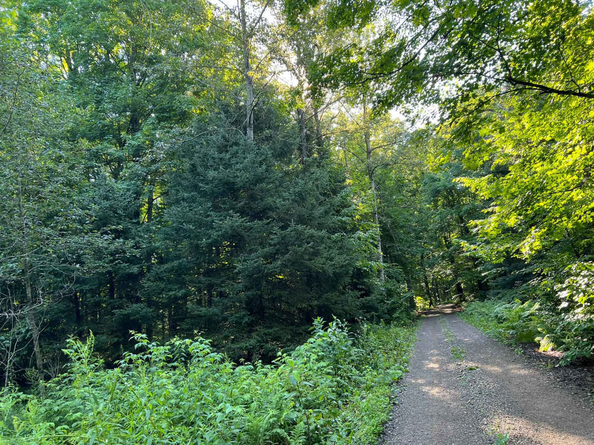
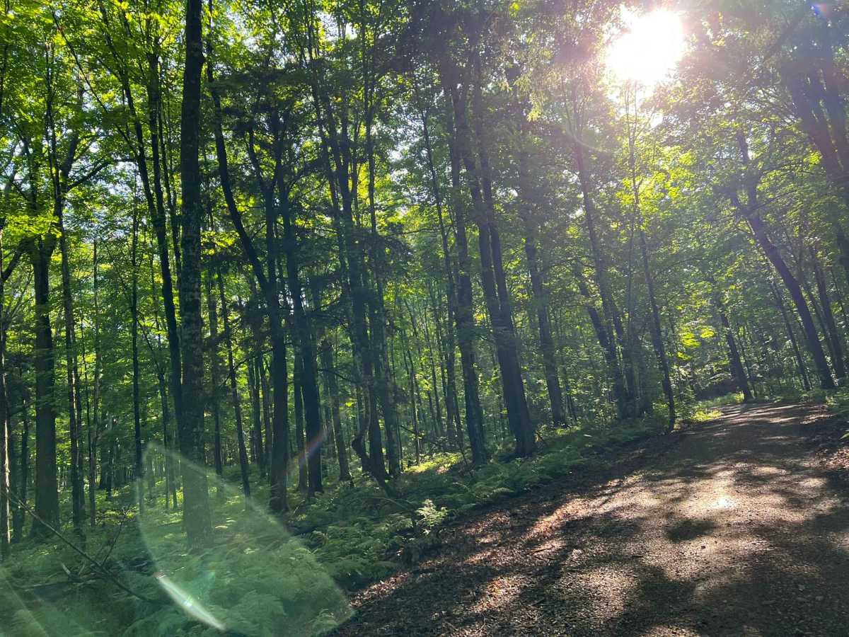
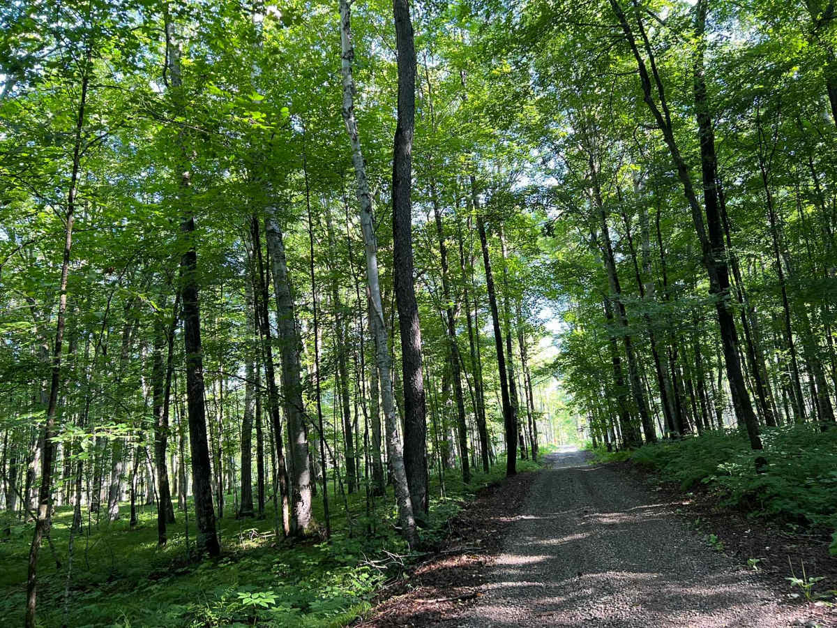
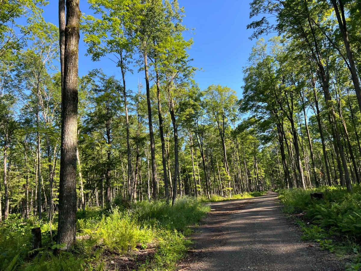
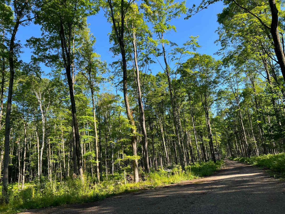
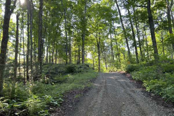
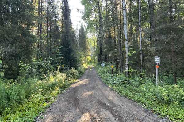
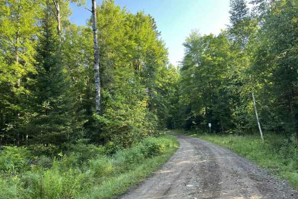
This is the westernmost section of Florence County's F14 Trail. This trail navigates from its intersection with FS 2156 to its intersection with FS 2832. (FS 2832 is also a part of the F14 Trail but is open to 4x4s.) The trail surface is mostly smooth gravel, which eliminates any of the obstacles that would have been otherwise created by the surrounding forest floor. There are a couple of low spots within the trail that can collect small amounts of water during rainfall, but do not typically amount to anything more than 2-4 inches sitting on the trail. The trail does have some small rolling hills, but nothing challenging or at risk of washing out from rainfall. This trail is one of the more open ATV and SxS specific trails in the area thanks to some recent logging in the surrounding forest. This has resulted in a trail that is surrounded by mostly young trees, along with other varieties of hardwoods that were not cut. It also means that sight lines on the trail are good in most areas, with the largest obstruction coming from the small rolling hills in this area. While the trail width for most of the trail is only wide enough for one SxS, there are large ditch lines that can be pulled off to allow for easier passage of vehicles. Cell service in this area is not as good as it is on other trails to the west of this trail. Downloaded maps should be used, especially when exploring further east, as a large portion of the adjacent F14 navigates through private forestry land.
Difficulty
This trail can be easily navigated by all. There are no serious obstacles to avoid, and the trail only collects water in small amounts at a couple of spots on the trail. The trail is well shaded and hard-packed with a good mix of large and fine gravel, so dust and washboarding should be less of a concern. While not challenging, this trail is a great way to get off traditional forest roads for a short period of time while either navigating to the remainder of F14 or the nearby F11.

 Offroad